
Ha det bra! Moi moi! Hej då! Hej hej! Tschüss! Ciao!
Norway, Finland, Sweden, Denmark, Germany, Switzerland and Italy. 7 Countries. More than 8000 kilometres, 219 days, 4 summers (and 1 winter).
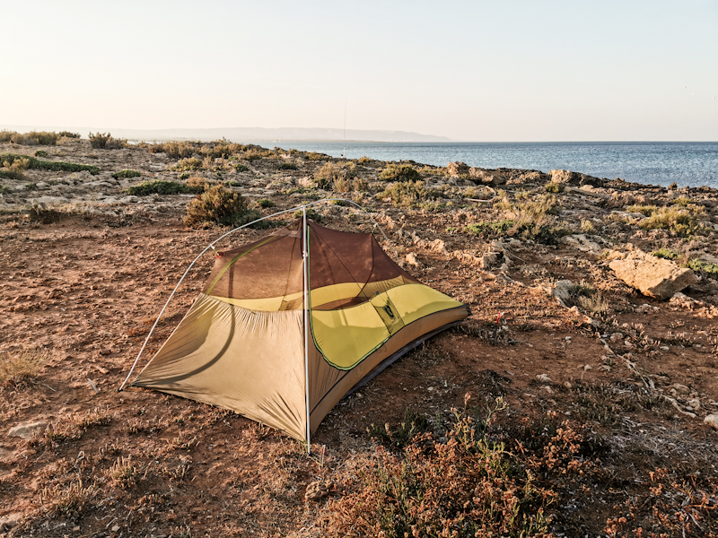
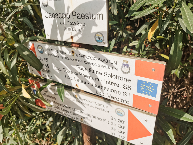
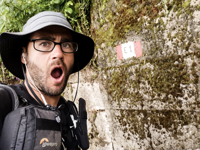
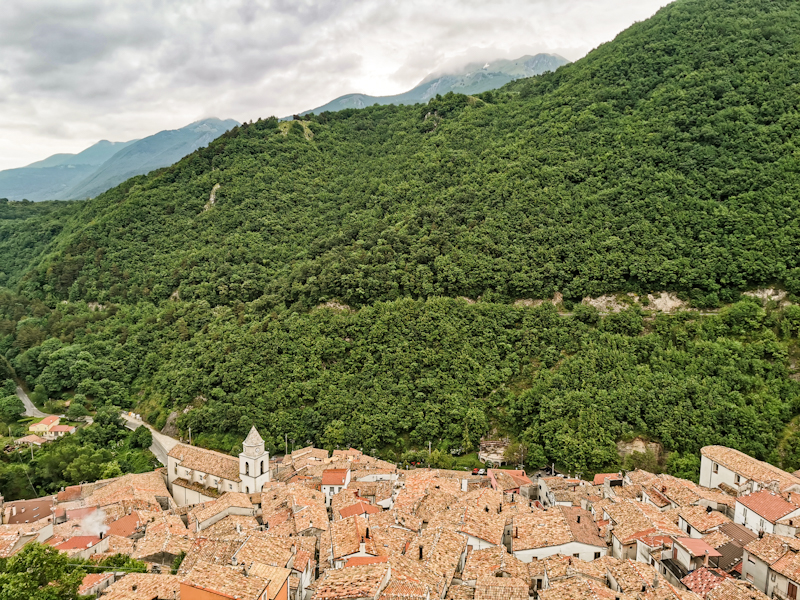
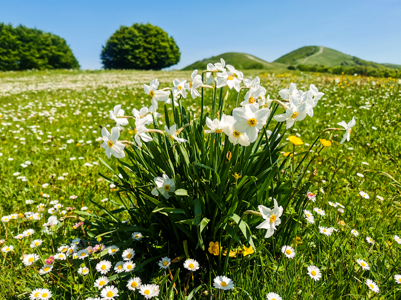
E1 in a nutshell.
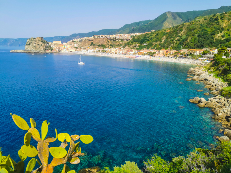
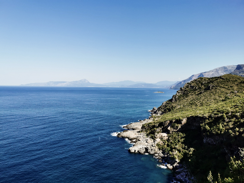
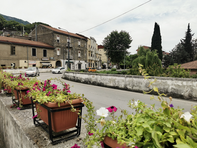
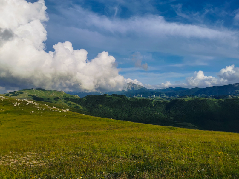
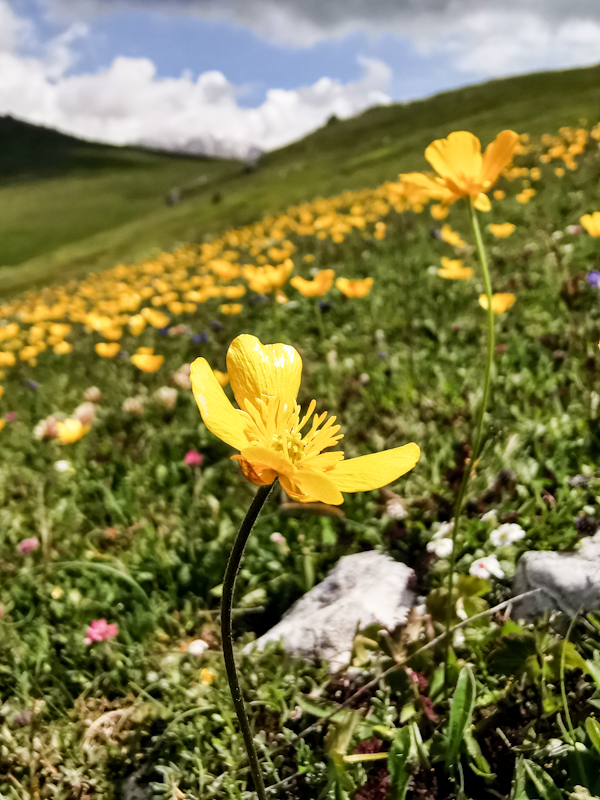
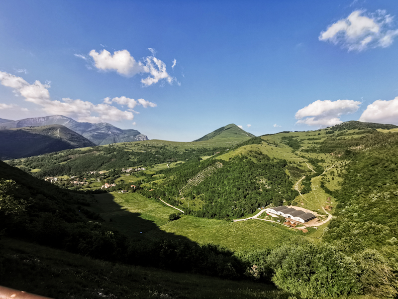
From the Far North to the Deep South. From the tundra in Finnmark to the steppe like landscape on Sicily. Through the vast Swedish forests, never ending corn fields in Germany, across the Alps and into the unknown, rugged Apennine and along coasts up north and down south. A trail scattered with milestones. Completing the Scandinavian peninsula, spotting the Alps, while still deep in the black forest, arriving home, seeing the Mediterranean near Genova and many more.
What a ride it has been. I have no idea, where I should start with the summary of my E1 adventure. I'm not even sure if I should call it E1 or simply my hike across Europe. While I was following E1 for most of the 7 months, I created my own hike here and there. Namely in the southern part of Sweden, Denmark and then again in Campania and Calabria. Up north because I was enjoying my hike so much and wanted to add some more regions, down south because E1 was either not defined or I didn't want to risk getting stuck in overgrown or non-existing tracks. A completely differing, everchanging hiking experience as I make my way south.
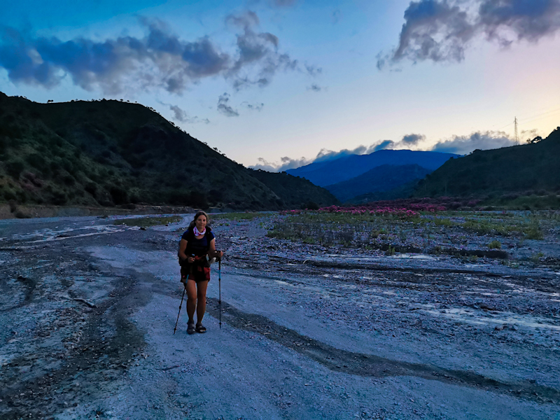
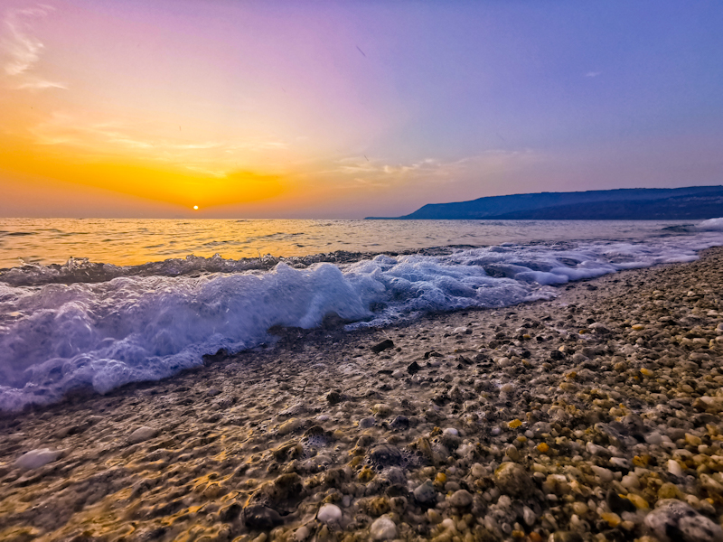
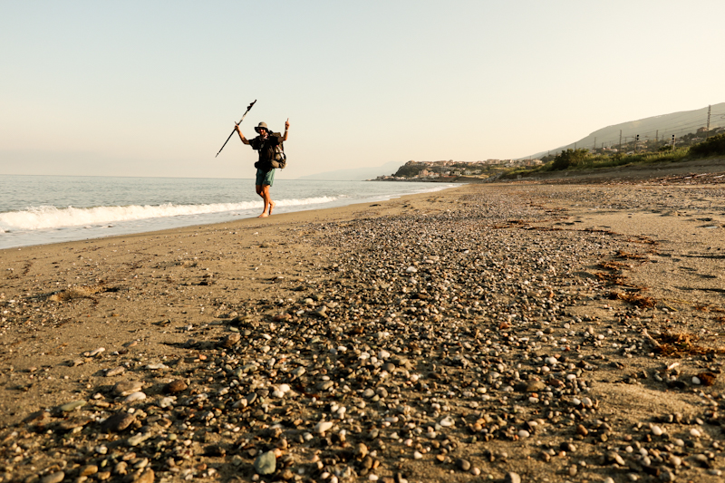
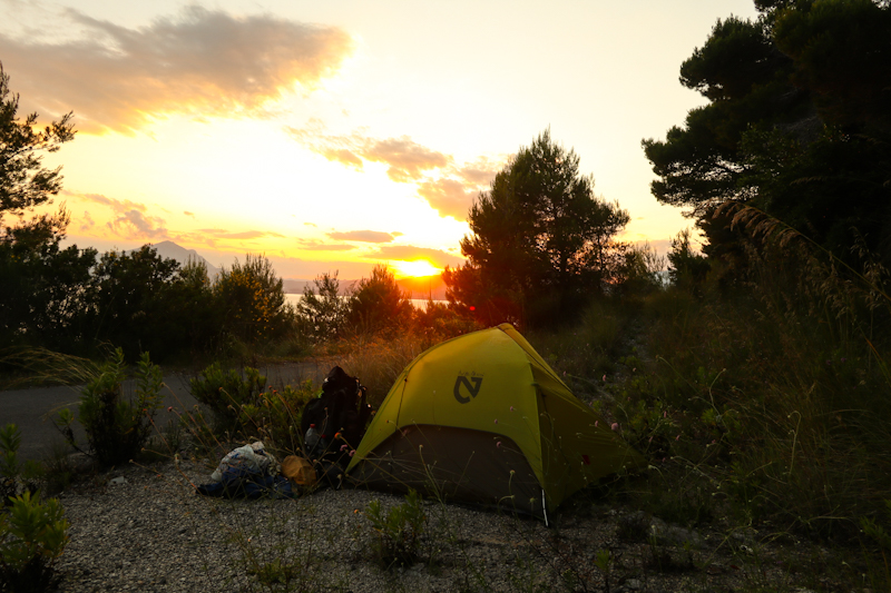
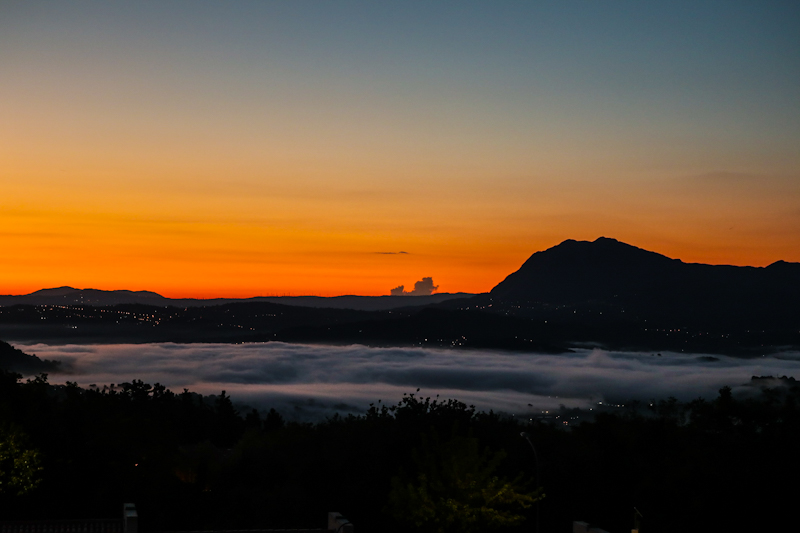
I still remember my first day on E1 like it was yesterday. Fog, briefly lifting, letting the sun through, creating a mystical atmosphere, as I leave Nordkapp at three in the morning. Embarking into a new adventure. Little would I know how unforgettable it is going to be,
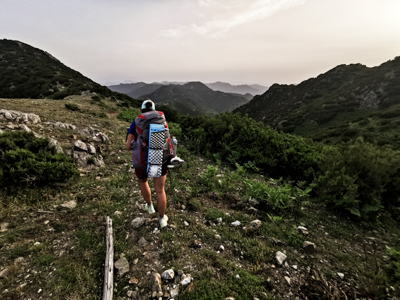
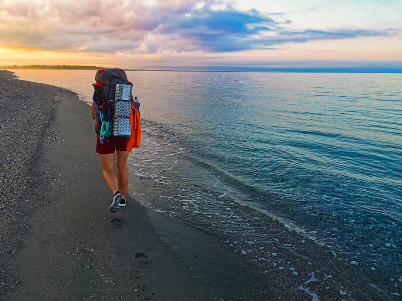
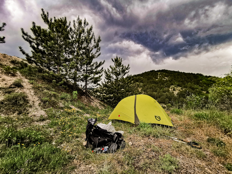
Norway is wild. Sparse. With long stretches where neither paths nor markings are existing. Mosquitoes, snow, river crossings the unforgivable weather add to the challenge. So does the solitude. Long stretches in between civilization. Food for 300 kilometres leads to a heavy backpack. Yet, I love my time up there. Each and every day. Days, which are long. Never-ending. Walking in the midnight sun is an unforgettable experience.
As I enter the Sweden with its forest, the hiking changes. The trees give me the comforting feeling of being sheltered. Yet, they
have a confining effect. I miss the views. However, basically every day a vindskydd (a shelter) is awaiting me. Generally, idyllically nestled to a lake. Surprisingly, I have them for myself.
Many evenings, I spend swimming in these lakes, before warming myself up in front of the campfire. A wonderful ending of a hiking day. More often than not, these evenings where the highlight of
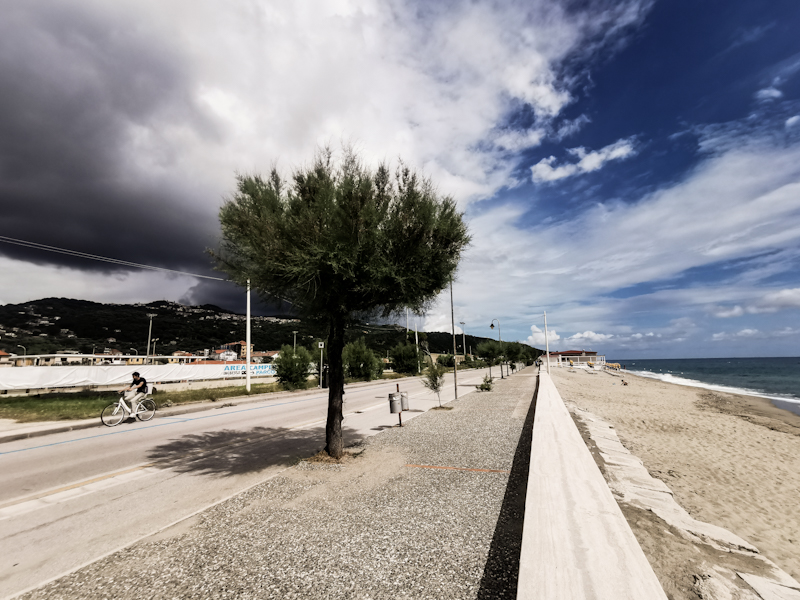
my day. Even when I hit the coast in Skane, leaving the forest behind. If there is something like thru-hiking romance that's probably as close as I ever get. I feel light-hearted. Happy. I am
hiking and living in the here and now, An unforgettable feeling. After exactly 100 days, I reach Sweden's southernmost point, completing the Scandinavian peninsula.
What follows next is Denmark. In November. A good idea? Well, until today I am not sure. Yes, it is cold, windy, wet. And dark. The days are short, many hours I walk in the darkness.
Nevertheless, walking the deserted beaches and huge dunes, hardly able to withstand the wind, passing through towns with their Christmas decoration, spending the evenings in the vindskydds,
reading my book by candlelight, trying to stay warm, gives my time in Denmark a special touch. An experience I have not had before.
The following summer, it's time to leave Scandinavia. Germany is calling. Honestly, I do not have high expectations. Lots of forest, flat terrain, cocky Germans. Things I thought would be
awaiting me hiking Germany.
As a result, I don't feel overly enthusiastic when I resume my hike in Flensburg on a wet and cold spring day. But my not too optimistic mindset is helping me to be positively surprised more easily. By the trail, the scenery and by the people. In fact, I very much enjoy my hike across Germany.
Yes, the terrain is flat for most of the first three weeks. A hill of more than 200 meters is the exception. A highlight even. Yet, the walk from Eckernförde to Kiel along the Ostsee is one to remember. Wonderful late spring weather, along a beautiful, deserted stretch of rugged coastline
The lakes disappear, the temperatures are getting higher as I make my way south. The heat. A new phenomenon on E1. Something to get used to. Walking E1 in Germany is fairly civilized. Plenty of resupply points, plenty of ice cream. I am surprised by the German's hospitability. More often than not I can camp in people’s backyard or even in their homes. They offer me food and plenty of beer. Not a single night I spend on a campground or in a hostel or hotel, And I must admit, once I cross the border into Switzerland, I feel a bit guilty. Germany has proven me wrong. In hindsight, Germany has been a refreshing hiking experience.
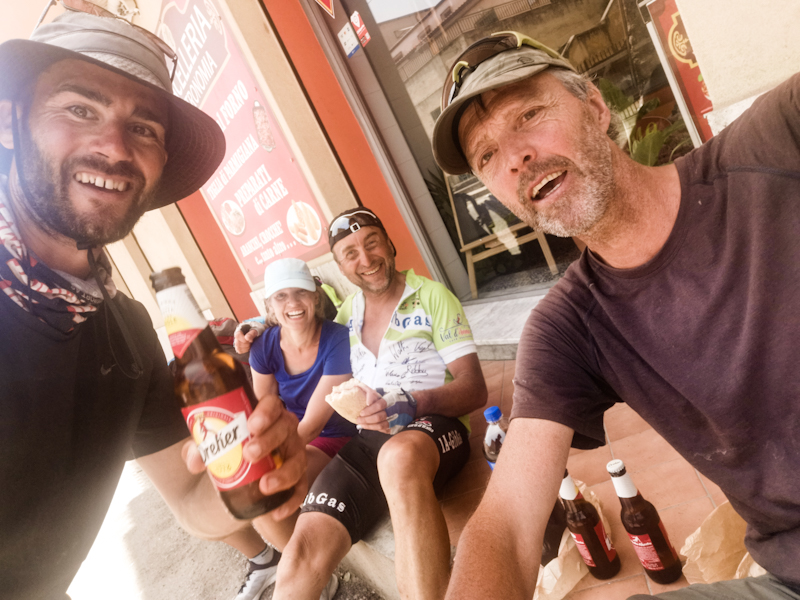
The next 250 kilometres across Switzerland are so different to Germany. First and foremost, they are on home Turf, then the terrain: mountainous with lakes every couple of kilometres. The way I like it. Furthermore, there's the great company of Fredy and the wonderful surprise of meeting Klaus and Gisela. This all adds to a lovely 10 days in Switzerland. Yet, I am happy to reach the Italian border. My feet feel tired and the hot weather too, has left its marks.
After a well-needed break, I tackle Italy a couple of weeks later. Resuming E1 in Porto Ceresio. From the very beginning, it is
somewhat of a struggle. The three-week break is too short to fully recover from the previous stint across Germany and Switzerland, yet long enough to throw me out of my thru-hiking
rhythm. Additionally, the first week, leading me across the Po flat, is mentally demanding: flat out boring through a desolate landscape with the odd dirty, smelly village thrown in
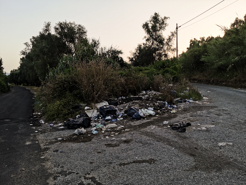
between. Dogs keep barking at me. For most of the time, hiking trails are often non-existent and thus plenty of the first 250 kilometres on asphalt. The cycle tracks along the Ticino
River are okay while the stretches on roads are, thanks to the terrible Italian drivers, not a lot of fun.
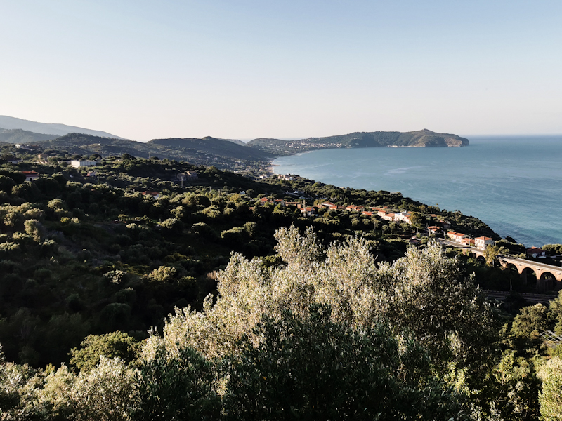
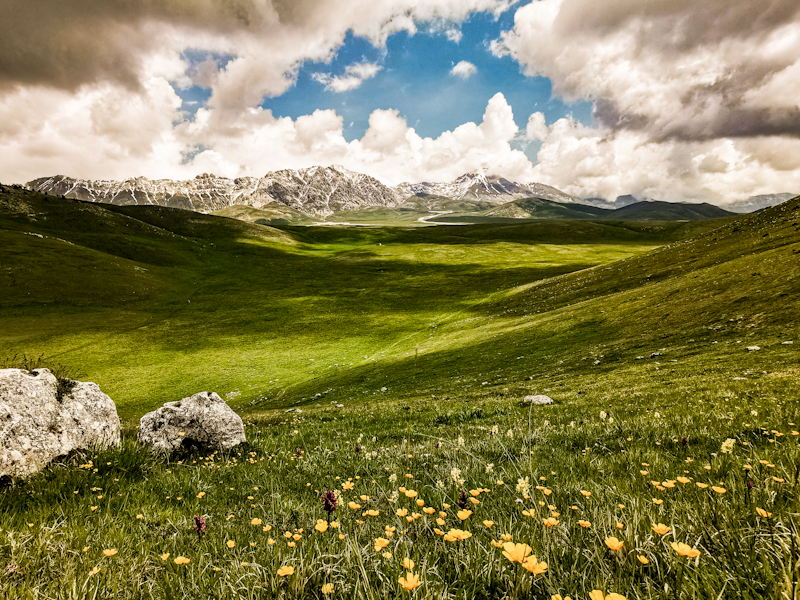
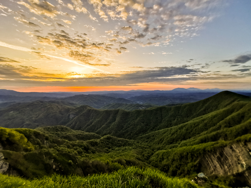
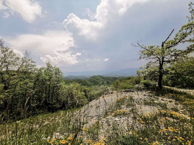
Things change dramatically once I enter the Ligurian Mountains, where proper, well-marked hiking trails are popping up. With the clearer air and the higher altitude, the views are
getting better with every day. When I spot the Mediterranean, I must shed a tear of joy as I start to realize how far I have come on my E1 adventure. Mentally, this helps me a lot. And I need
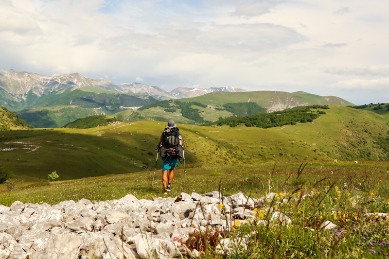
this extra motivation as the trail is getting physically demanding as I head into the Apennine. Lots of ups and downs, sometimes on technically demanding trails. Never dangerous or extremely
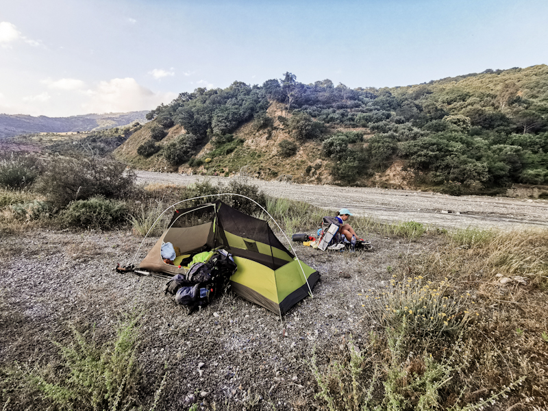
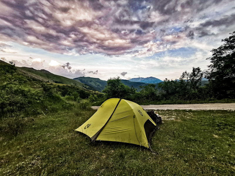
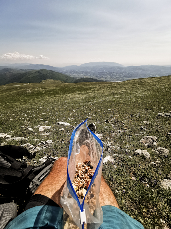
exposed though. E1 becomes surprisingly remote at times, meaning my backpack is generally rather heavy with food for up to six days and plenty of water. However, my effort is rewarded
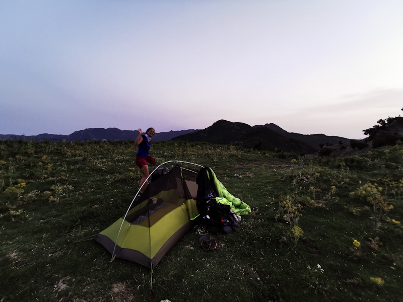
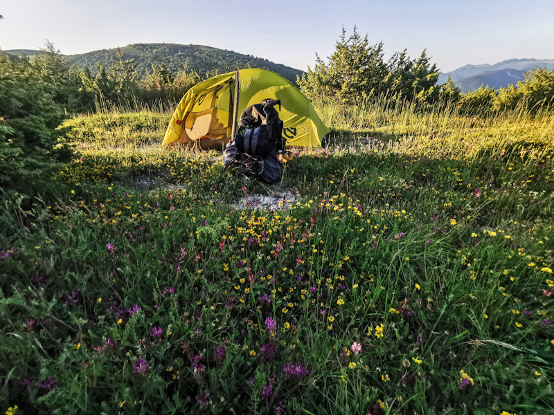
with spectacular ridge walks, breathtaking views and lovely camping spots (while officially not allowed) wild camping in Italy is absolutely doable. Especially in the Ligurian Mountains and the
Apennine I never struggle to find a spot). It's exquisite hiking and one of the best so far on E1. After pausing near Firenze for the winter, I continue in 2023, where I have left the trail a
couple of months earlier.
I am mentally fighting with myself, making my hike harder than it should be. Around the earthquake destroyed area of Amatrice, I reach a personal low. Never in my thru-hiking career did I struggle with myself so much. I am close to giving up. I'm glad for all the support I receive from home and overseas. It helps me to change my attitude, accept certain things the way they are, even see the good things in them. Like the rain.
Italy is a long country. Walking down its spine seems never ending. Until I hit the coast.
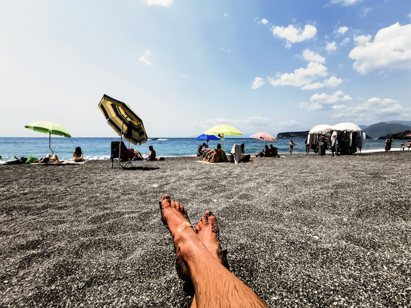
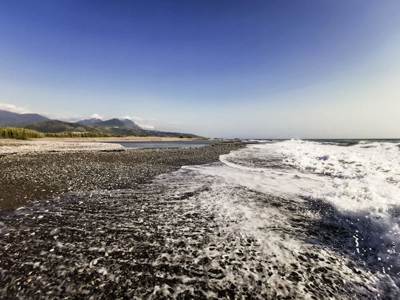
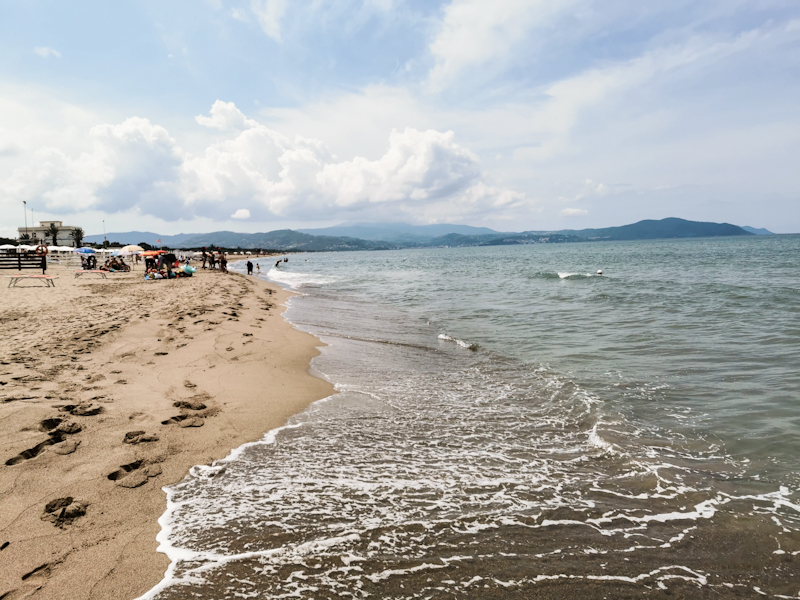
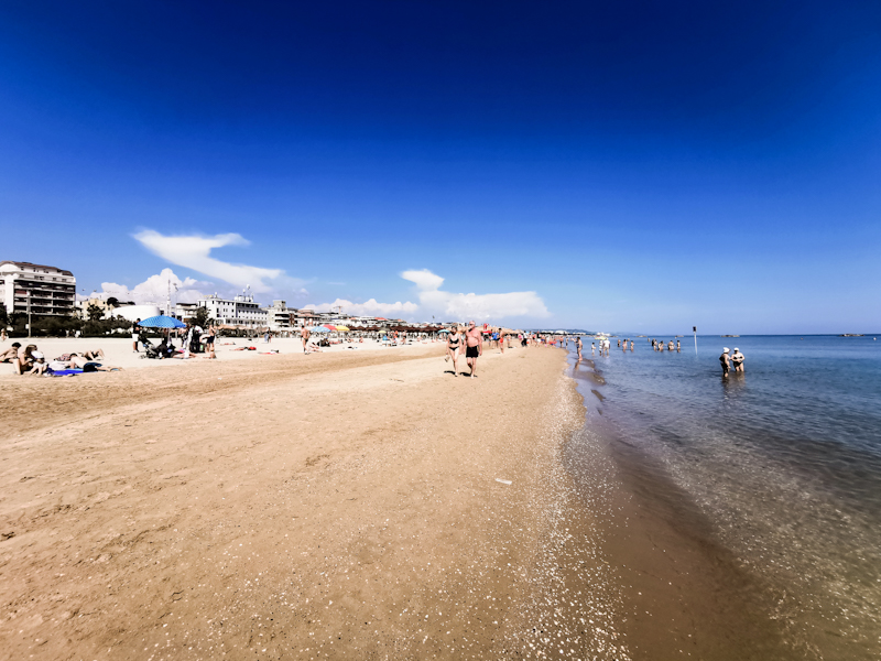
Different walking. No more rain. Sunny and hot. Very hot. Mostly enjoyable walking. Having the deep blue sea to my right, always available for a swim, gives me good feeling. It feels like I am flying down the boot and across Sicily towards Italy's southernmost point and southern terminus of E1.
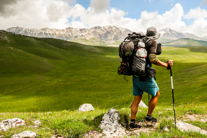
Of all countries hiked, Italy is by far the most challenging. Physically, with the heat and the mountainous terrain until reaching the coast but especially mentally.
To cut a long story short:
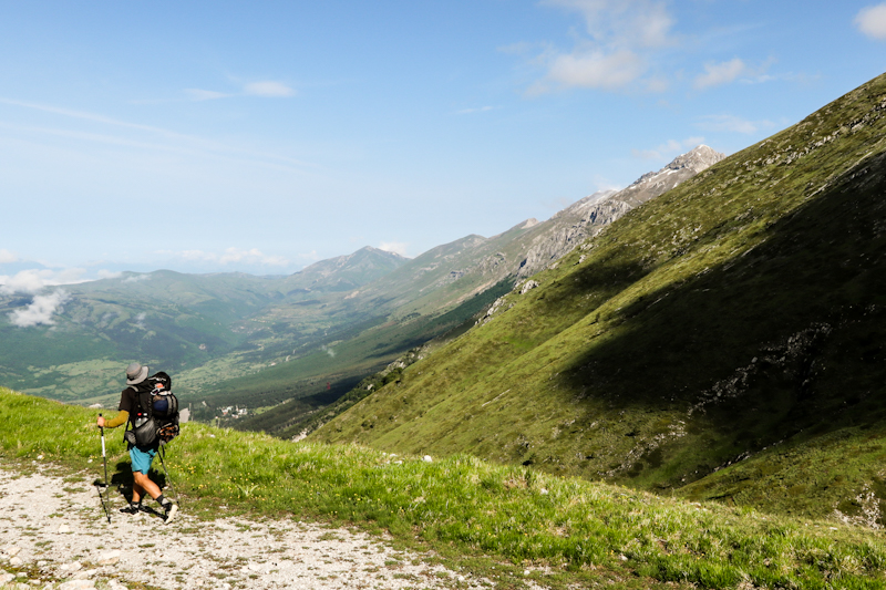
On E1 in Norway, the trail, the journey is my destination. The spectacular, mountainous scenery, the solitude, the remoteness, the untouched nature, the hospitality of its people is simply unbeatable. But also extremely challenging is adding to the positive experience.
In Sweden, after hiking through forest most of the time, the amazing shelters or vindskydd (as they call them), which were usually nestled close to pristine lakes and provided firewood and comfortable sleeping possibilities, were undoubtedly the highlight, my destination of the day. Germany was, what I would consider, comfort hiking. A country able to really surprise me. In a good way. Getting close to Switzerland, home, was the driving factor for most across Germany. Switzerland, well, that is home. Unique, different. Not much to add. Then Italy with its ups and downs in so many ways. Being so far into my adventure there is really no turning back or giving up. My motivation. So I continue. And knock the bastard off.
It's only on my way home, cruising just below the speed of sound at 30'000 feet, looking down at Italy and areas I have been walking, when I fully realize how far I have come. What I have achieved. It gives me the comforting feeling of fulfilment. At this very moment I feel complete. Happy to have decided to tackle and finish E1.
So what now? Honestly, I don't know. Scandinavia maybe. Probably. At least I don't have another big adventure lined up. For the time being I simply enjoy reminiscing.
Section 4 - Midlle and South Italy. Some thoughts.
I knocked the bastard off. And a bastard it was for sure - this last stretch of E1.
But I will come back to that a bit later.
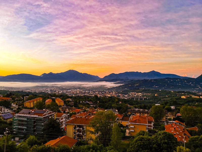
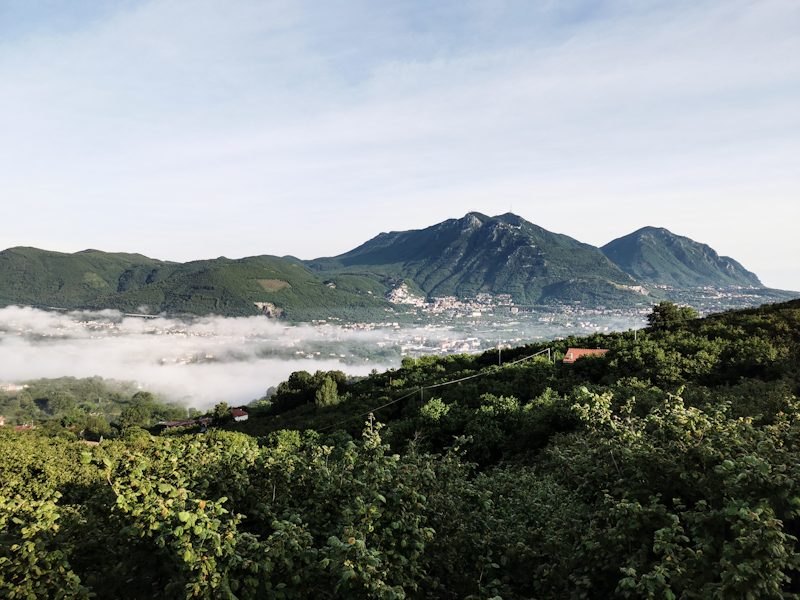
Mid-June, I prepare myself for Italy, where heavy rainfall is causing death and destruction. The weather settles just as I continue my journey on Passo della Giogo. A good start. Dry, not too hot, not too cold a good track.
Things quickly get a bit more challenging with overgrown tracks, ticks and afternoon thunderstorms. Some fabulous stretches, like one a bit northeast of Perugia, the area around Castelluccio or the Abruzzo mountains are able to keep my hiking spirit from plunging. Stretches which by far exceed my expectations. Also the endless beech forestes are a pleasure. Overall I am mentally fighting with myself, making my hike harder than it should be. Around the earthquake destroyed area of Amatrice, I reach a personal low. Never in my thru-hiking career did I struggle with myself so much. I am close to giving up. I'm glad for all the support I receive from home and overseas. It helps me to change my attitude, accept certain things the way they are, even see the good things in them. Like the rain.
So I carry on. However, shortly afterwards I start to realize: the route I have planed to hike across Campana and Calabria (along Sentiero Italia) is out of my league at this time. Too long, too many vertical meters, the uncertainty if the tracks are walkable.
In my head, I am mulling different option. The most appealing and realistic one is simply follow the coast from Salerno the Villa San Giovanni. The ferry terminal for Sicily. Yes, it would involve a lot of road walk. But by then I am tired of missing markers and getting lost, so I opt for the coast. With the beach calling, I can gain new momentum and I have some great hiking days.
Nevertheless, I then extremely spontaneously decide to take a couple of days off anyway. Head home, leaving the trail in Sulmoma. Waiting for the weather to improve, plan my new route.
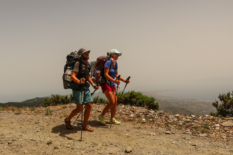
Is it the right decision to take a break? Or should I have used the momentum. On the train home, I question my own decision keep on doing so during my 6 days off trail. What I can certainly say is that they help me to sort my thoughts and hit the trail well motivated and mentally recharged. A different hiking experience. Like in the good old days. And after a few days inland (where I also meet Umberto, who, with his amazing hospitality boosts my hiking spirit and therefore adds a lot to my achievement!) I hit the coast. Different walking. No more rain. Sunny and hot. Mostly enjoyable walking. Having the deep blue sea to my right, always available for a swim, gives me good feeling.
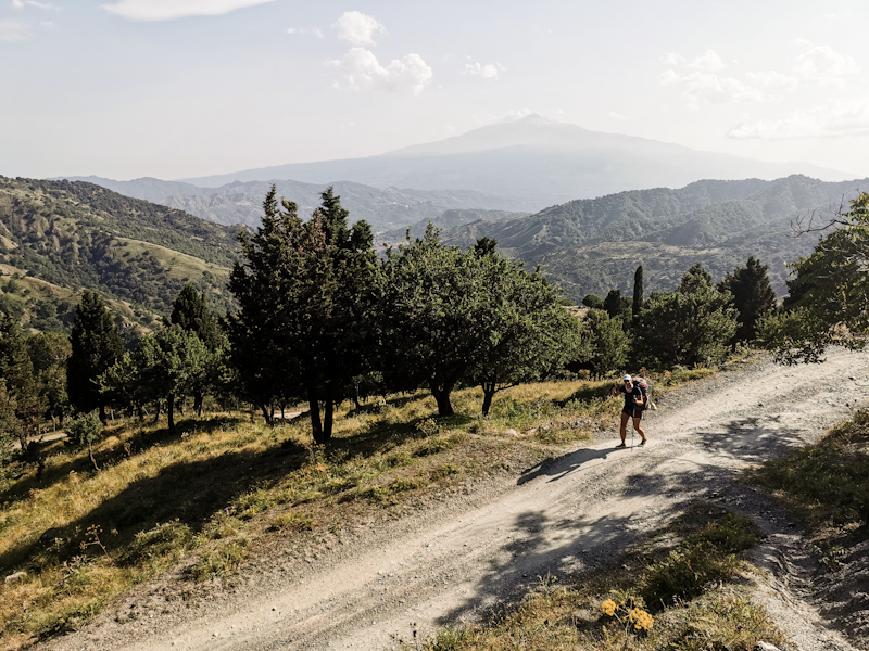
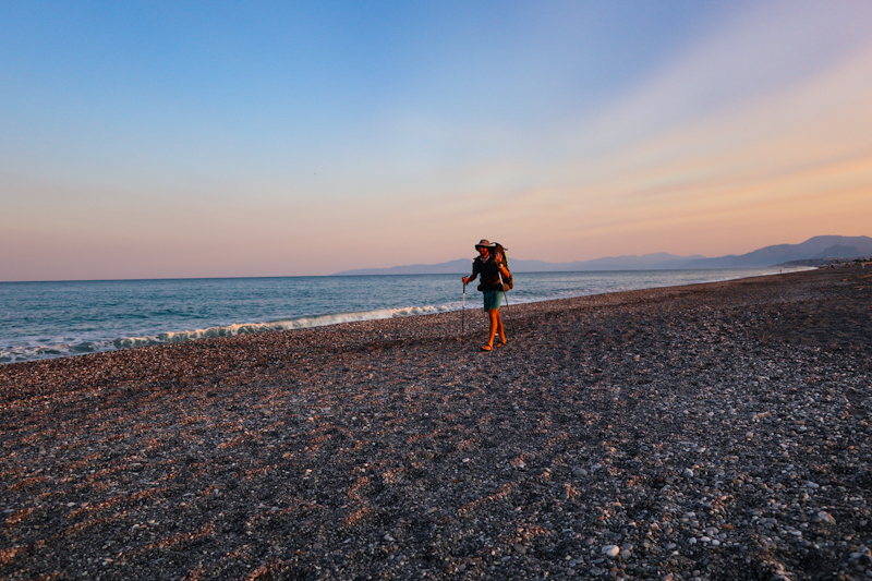
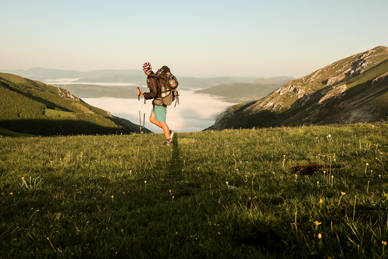
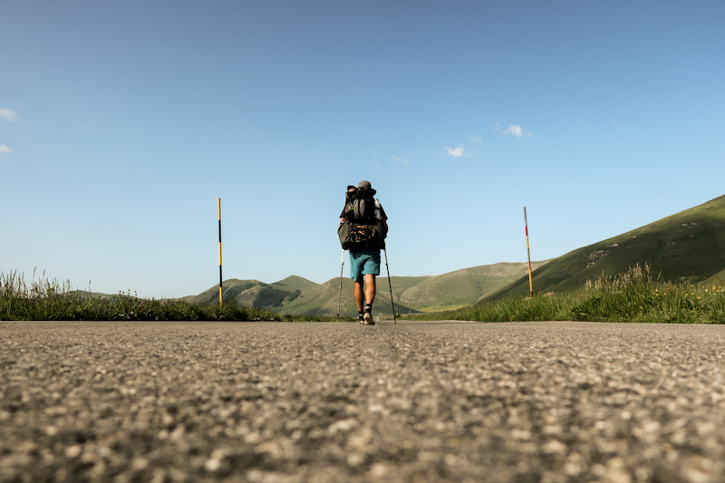
And following a flat, fairly straight route, obviously is flushing my down the boot towards the end of the mainland, compared to the inland route. Together with the lovely company of my friend and future TA, Maria, I tackle Sicily. Leaving the coast, leaving the road. Yet another completely different hiking experience. Remote, wild, hilly. And a volcano. No more water to cool down makes walking in the heat challenging. People I talk to think that I have lost my mind walking in this heat. With my goal so close, I am able to ignore it. Push all the was to Italy's southernmost point. Yet enjoying every day. Completing Italy, completing E1.
Of all countries hiked, Italy has been by far the most challenging. Not just this year but also last year. Physically, with the heat and the mountainous terrain until reaching the coast but especially mentally.
Many hours have I thought about it. Trying to figure the 'why'. Why the mental strugge? Is it the 'walking away from home', the difficulty to connect with the locals, the barely existing hiking culture? Or not knowing if the tracks I walk on are really existing. The uncertainty. The missing identy of E1 in the middle and south of Italy. Maybe a combination. Maybe also the fact that E1 has been consuming me a lot for the past 4 years and I am somewhat tired. 8000 kilometers is a big number to walk.
Anyway. I made it. I knocked the bastard off. In the end much faster than I anticipated. Better this way than the other way round.
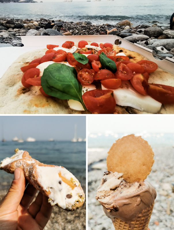
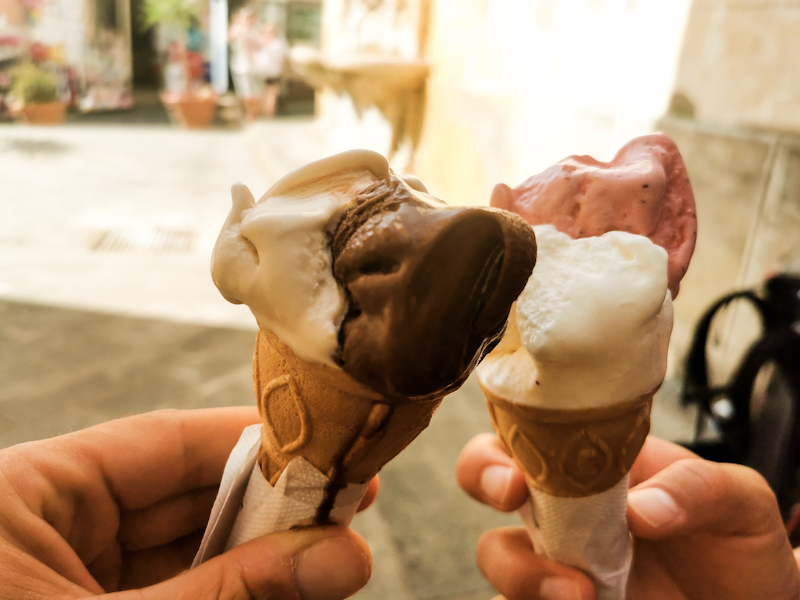
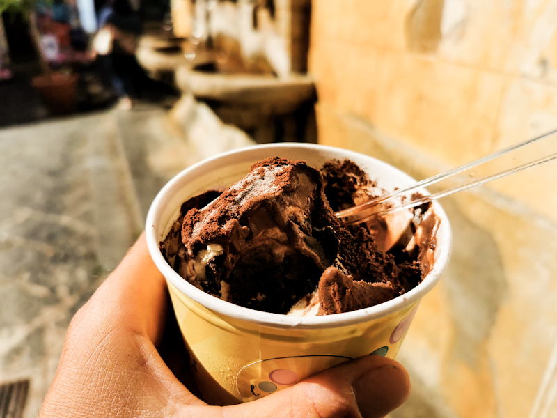
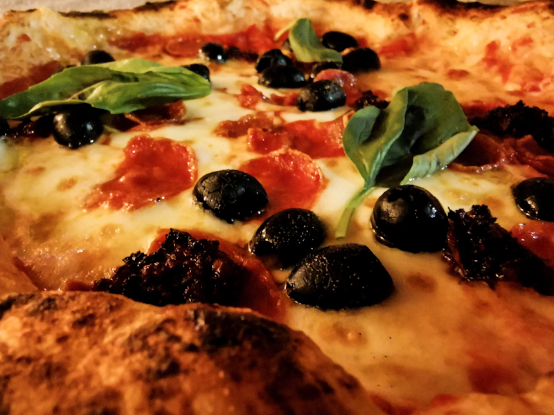
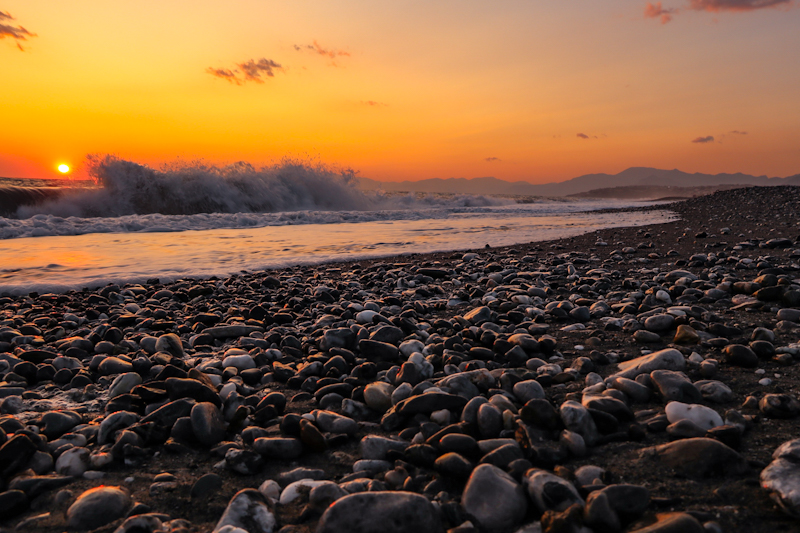
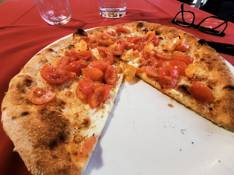
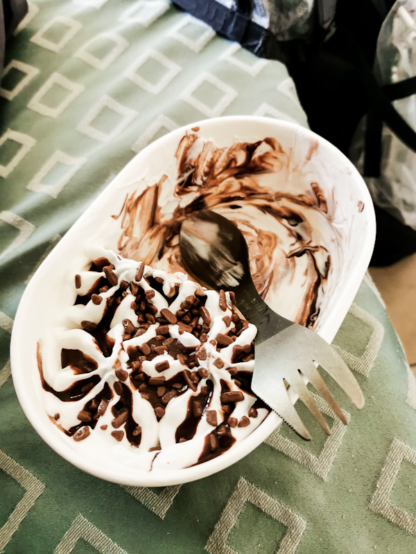
As I am typing this, I am sitting on a pebbly beach near Taormina, still on Sicily. Enjoying Pizza and Ice Cream. Feeling fulfilled. Proud. And despite all the challenges, I don't regret hiking it a single bit.
My flight back is on July 4th. Maybe by then, or when I look down from the aircraft, I will have fully realized what I have achieved.
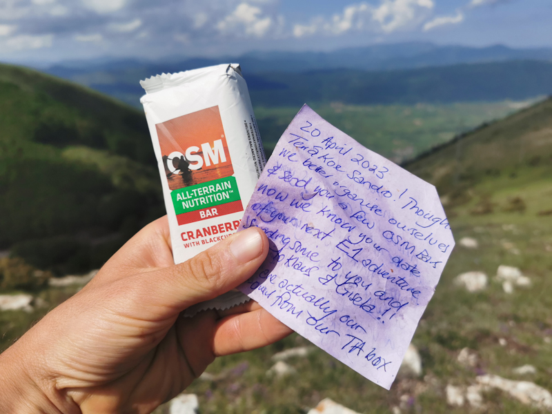
I already mentioned my gratefulness for the support I received from family back home and friends overseas. Namely Fredy, George and Rob. Also a big thanks goes to Pierangelo from Bernate Ticino and Umberto from Bologna. Your hospitality meant so much to me. And last but not least Maria, who joined me for a couple of days, enduring me and my stubbornness. She is still recovering from her blisters. I hope you can keep your toenails and also hope you could gain some experience for Te Araroa.
So that was Italy. Most probably, I will also write a quick summary about my whole E1 experience in one last (I promise) blog entry. Stay tuned.


Day 219: The Last One!
San Lorenzo to Isola della Correnti
Distance: 20km
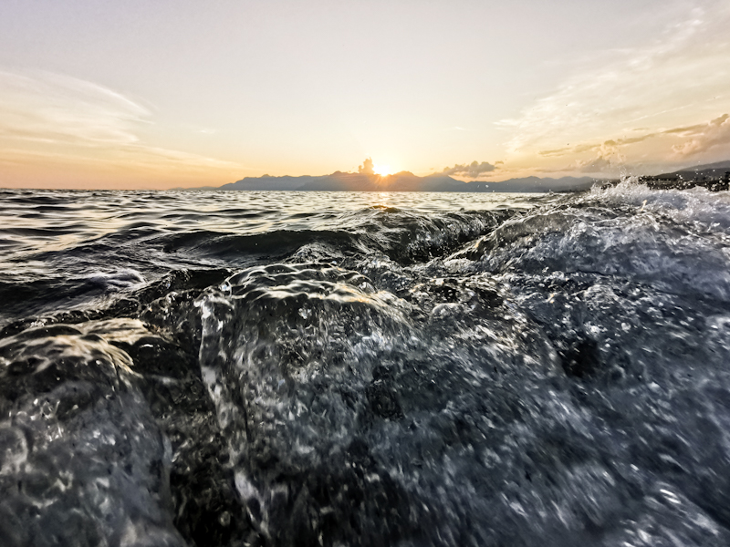
I take a slow start into, what I hope would be, my last day. I watch the sunrise, go for an early morning swim, before continuing following the coast along beaches and rocks. A pleasant start. In Marzamemi I stop for a Cappuccino and some chocolate bread. It's hazy. A strong contrast with the deep blue see. Eventually, I go for another swim before reaching Capo Passero, the last town before the end. It is also where I have to walk back tomorrow to catch a northbound bus. Destination unknown. I still have to figure that one out. Not now.
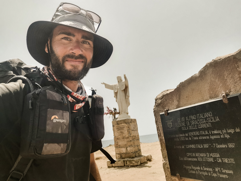
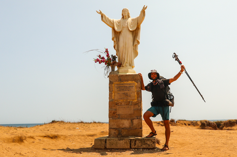
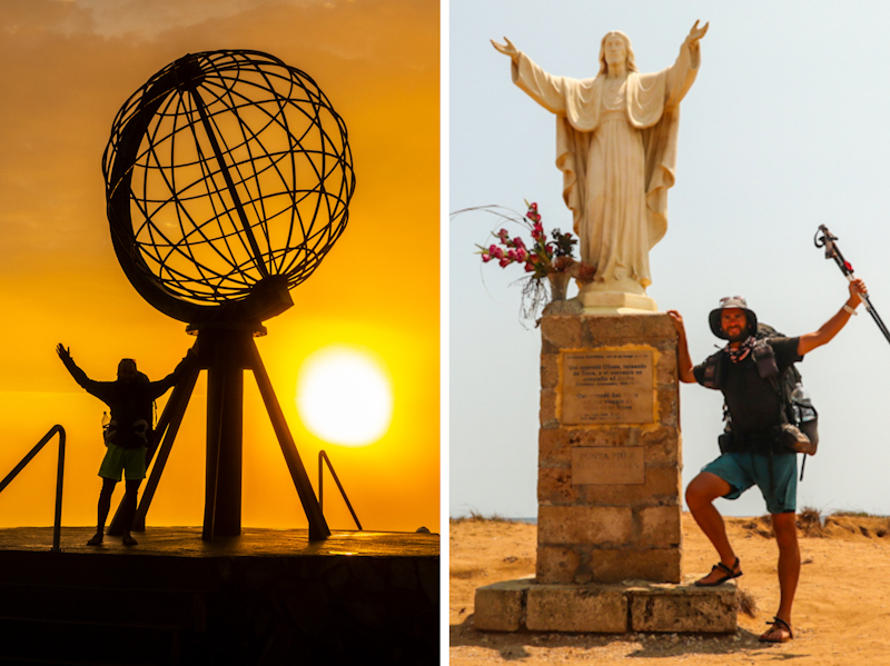
After a resupply I am tackling the last six or so kilometers. Initially along the road, then the beach. After a so far surprisingly unemotional day, the emotions hit me once the Statua del Cristo Redentore, the southern terminus of E1 comes in sight. Spontaneously, I have to think of my first day on E1. I remember it like it was yesterday.
The beach is packed. A causeway takes me to the statue and a plaque, indicating the terminus of Sentiero Italia (which strangely doesn't go here, but it gives a nice touch anyway).
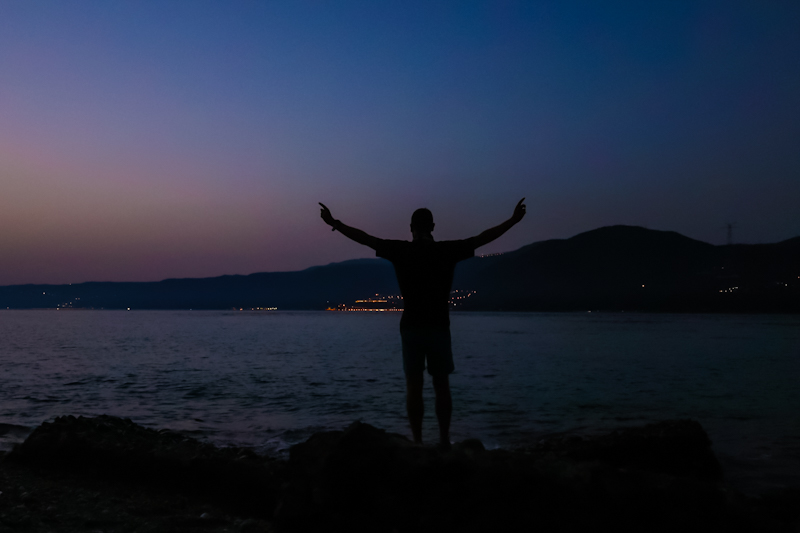
People are surrounding the statue, taking photos of the "punta più a sud d'Italia" - -engravement. Italy's southernmost point. I walk right past the statue, taking a seat on a grassy spot. I can't hold back a tear or two - torn between "happy I made it" and a bit overwhelmed of the big void. E1 has been consuming me for the past couple of years and suddenly it's over. They are the same feelings I have had after Te Araroa. Feelings I guess many thru-hikers can relate to.
While sitting there, I notice Isola della Correnti, the island of the currents right in front of me. People are crossing the water. Since two of my trusted followers put some very gentle pressure on me to finish my hike on the island, I put my phone and tracker in a dry bag and head for the sea. Leaving my pack behind on the last few steps feels awfully wrong but observing the people crossing, it would be a terrible idea crossing it with my pack. Crossing the 100 meters of sea is straight forward. Yet, I am in the water up to my throat. Once across, I head straight for the southernmost point. That's definitely it. In fact, I'm on a more southerly latitude than Tunis, Africa. Crazy!
So until here and no further. I go for a swim. Right where the Ionian and the Mediterranean Sea meet. It's rocky, the waves are throwing me around but it feels amazing.
I don't hang around too long. It might sound weird but I feel a bit sorry for my pack, left behind on the other side. So I cross back. Back to the statue, where I just sit for another hour or so until it's getting a bit warm. I head to Camping Captain. Located just a few steps away. I check in, pitch my tent in the shade. All the emotions made me feel a bit exhausted. The right moment for a siesta. Now that I finished my hike, I can do that without any urge to carry on.
Somehow, it feels like someone pulled the plug and all the air is out. I guess it's the combination of the relieve to have arrived and the last couple of long days. Doesn't matter. Until I fly home on July, 4th, I take it easy. Plenty of swimming, maybe a bit of running. Time to process what I have just achieved.
I'll end the blog entry for today at this time. By the end of the week I'll try to write a summary of E1 in Italy and the whole thing. So stay tuned!
Day 218: Saved By A Naked Dutchy
Pantalica Solarino to San Lorenzo
Distance: 50km
Most probably my second to last day. Mentally it has never been an easy day. Lots of things going through my head. But then again, the beach is calling and that will boost my motivation for sure.
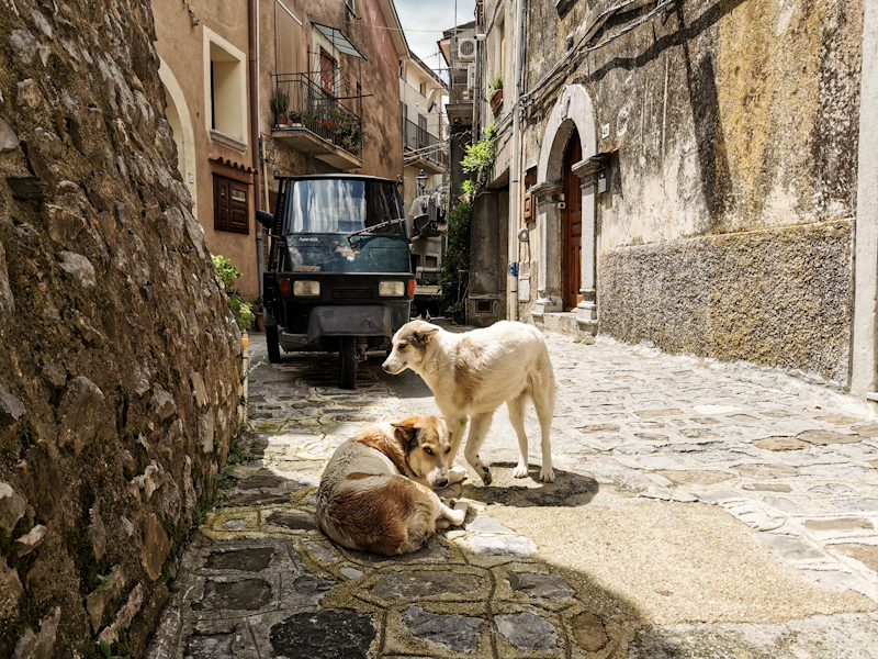
The day starts with 25 kilometers of road walk. Not much to say about that. It's still dark when I encounter a pack of wild dogs on the road. Before hiking in Italy, it would have freak me out but after so many experiences, I just 'shhhhh' them away.
Without taking off my backback, I cover the 25 kilometers in one go and only stop at the first beach for a swim. Gosh, it feels great. Azzurro water, extremely clear.
From then it's partly beach, partly road. The hike only gets interesting, once I enter
Riserva naturale orientata Oasi Faunistica di Vendicari. Following the official E1 (no markings though), I have to climb over walls and fences. On my left side, the cliff steeply drops into the sea. Eventually, I have to find my way down as well. To steep to descend with my backpack, I have to throw that poor thing down first, me climbing down behind.
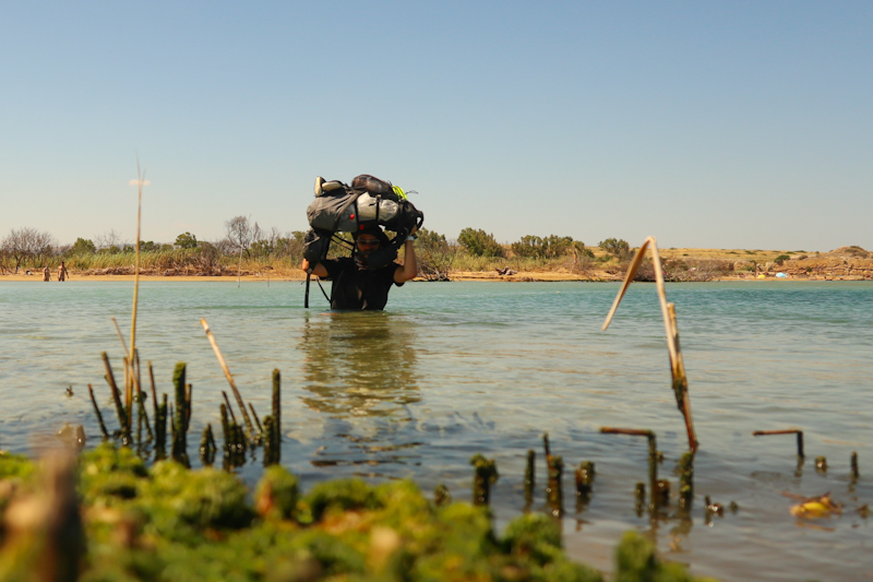
I follow a beach and then another one. That's where the naked Dutchy comes into play. Because I stand in front of a estuary, with no plan where to cross. On satellite images it looked harmless enough. In reality not so much. The Dutchman sees me cluelessly standing there at the nudist beach. In German he explains that he has observed several other people crossing from that tree to that small pole than to the big pole, where it will get more than waist deep. So I'd have to hold my pack above my head. Wow, what a description and super accurate. I do a "dry" run without pack and it's exactly as described. So I put everything into drybags and tackle the crossing. Somehow funny that on my second to last day I have my deepest river crossing on E1 and possible of my whole thru-hiking career.
From then on, walking gets easier and I have time to enjoy the lovely coastal walk. Being a nature reserve and due to turtles laying eggs there, access to the beach is heavily restricted. I was planning on camping there but no chance. So I keep on going, leaving the reserve. Once the next town is only a few hundred meters away, I finally spot a promising looking place. I am waiting until shortly before sunset before pitching my tent. Just to be save. Not that I expect any troubles.
Some people are passing by, all friendly smiles.
Having walked further than planned leaves me with a rather short day tomorrow. No need to hurry. I'll enjoy sunrise, go for a coffee into town before tackling the last few kilometers to Sicily's southernmost point.
Day 217: Rubber Melting Hot
Catania to Pantalica Solarino
Distance: 60km
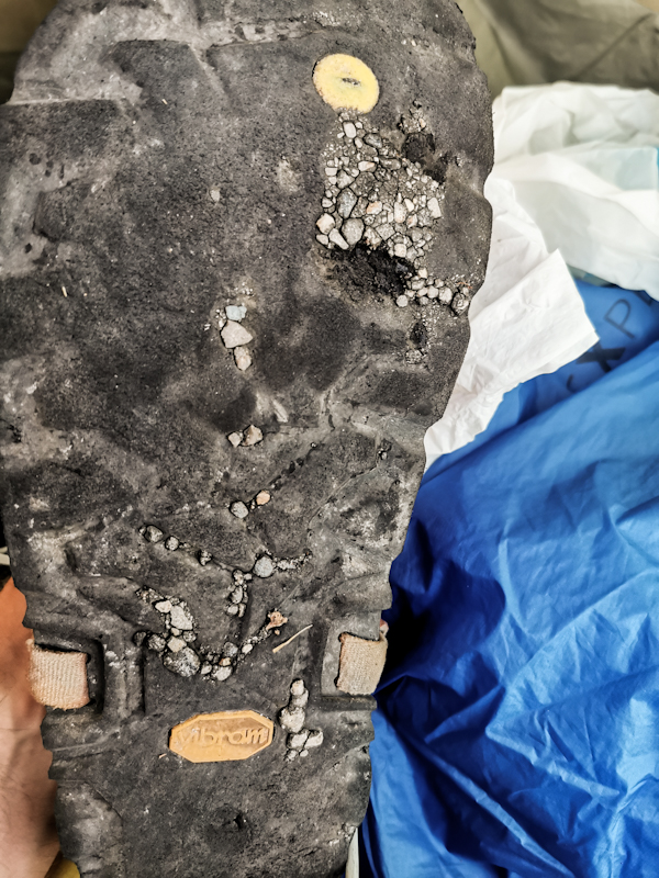
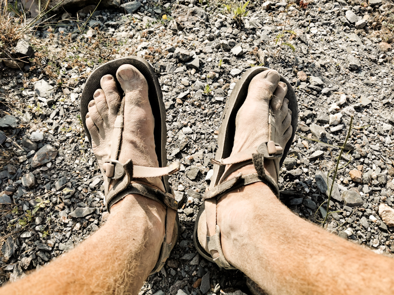
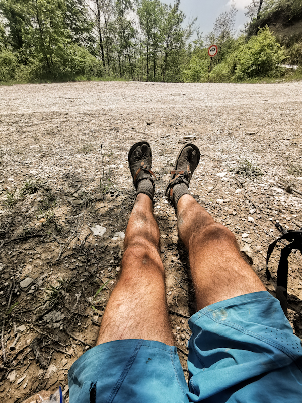
Walking through a big city at 03:30 in the morning gives me a somewhat uneasy feeling. Night owls are still roaming the streets but besides a hooker asking for a cigarette, it's an uneventful walk. An hour later I hit the beach. Dawn is approaching and looking back at Catania with Etna majestically rising behind is simply spectacular. I go for a quick swim before joining a long road walk along a state highway taking me inland. While the shoulders are surprisingly wide, rubbish and the stark smell of rubbish make it slightly unpleasant. The roads are getting quieter and cleaner, the views of the dry, sparse landscape much better. It's actually a very lovely walk in the heat. I can cope with it just fine. Better than the soles of my sandals for sure, which get really soft. As a result, gravel on the road easily penetrates the soft rubber. Every now and then I need to scratch the gravel out of the rubber. They are in a good shape anymore. Fingers crossed they will last another two days
Walking is a breeze and before I know I arrive in Sortino. Remote and authentic. I like the village. After a second Gelato, I am descending into a valley. Orange and lime trees left and right. It's like diving into another world. Much greener and cooler. By this time, I already have 55 kilometers in my leg and I start feeling tired. Time to look for a spot to camp. I knew it wouldn't be easy so I marked some spots on the map yesterday (thank you Google Street View). With that and a bit of improvising I find a suitable spot amids orange trees. Super tired but super happy after a unexpectedly nice day.


Day 216: 1 Day, 2 Worlds
Bivacco Poggio to Catania
Distance: 35km
Once the sun went down, so did the temperature. In fact, I was lighting a small fire.
The temperatures dropped even more overnight. I am surprised how far they dropped when I go out to do my morning business.
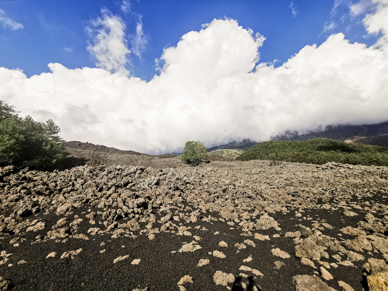
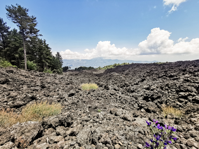
My hands and toes feel cold as I continue my halfway round the mountain track. Yet, the views of Etna and the now flatter landscape around are magnificent and make me forget the cold. It feels like it's just me, the volcano and some birds. A very tranquil atmosphere.
It takes a while until the sun appears from behind the mountain. For once, some warmth is highly appreciated. By then I am already nearing Nicolosi. From there, the hiking experience changes drastically. Busy roads, terrible drivers, drivers throwing garbage out of their window right in front of me and as I descend hot and humid conditions. Without taking a break a push on towards Catania, where I have booked a hotel. The last couple of days have been long and I need some time to plan my last days on the trail.
At exactly 15:00 I arrive at my hotel. Super small room but the view of Catania and the sea from the 16th floor easily compensate for that.
After spending the last 3 hours on busy roads all I need is a bit of rest to wind down. Then it's time for planning upcoming days. 3 maybe 4 more days hiking. I sure am getting close.
Then it's time for some sightseeing. I ask Google what to see. Nothing in particular is standing out. So I just head out, strolling around the busy streets. After a while I have enough of the hustle and bustle, buy some cheese and ice cream and head back to my room, where I have my dinner for one, enjoying the fabulous view.
Day 215: Back Solo
Torrente Zavianni to Bivacco Poggio
Distance: 50km
A quiet night on the river and a good sleep. The highlight: Elon Musks satellites forming a long glittering chain on the sky. First time I see them!
Once more we start early, following the river bed to Villafranca, where it is time to say goodbye to Maria. She is heading home to Switzerland from here. Since I am not good at goodbyes, it's quite an emotional affair. As a hard core solo hiker, the last days have been challenging. However, I very much enjoyed the experience and the great company of Maria. Thank you joining me!
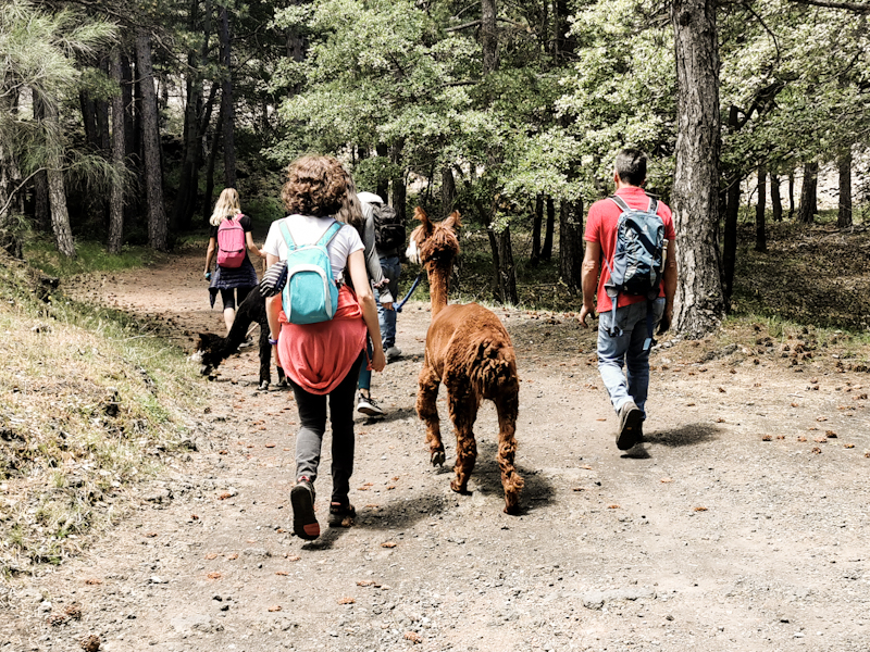
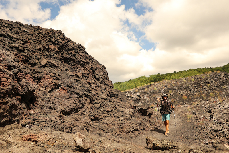
I leave her at the bus station. I want to have a closer look at Etna, so I start climbing its northern slope. Not all the way but up to 1900 meters. The beginning of the climb is tough and somehow I manage to get lost, adding some kilometers. Initially, there's a road and a hiking trail. The former seems to be popular with motor bikers. They use the road as their race track, making the road super dangerous to walk. So I opt for the hiking trail. As I get closer to a refugio where I turn east and the road turns west, I spot a biker lying on his back besides the road. He must have hugged the wall. It's not looking good. His buddies are there. Still, I offer my help, which they decline. So I continue, leaving the road and follow the Pista Alto Montana. A wide, sandy and gravelly road leading through forest and lava fields. Super nice to walk, super busy in the beginning. I share it with hikers, bikers and even a Lama trekking group. As I carry on, the track gets more quiet. Clouds were rolling in during the day, engulfing the top of Etna. Yet, the views down the valley are lovely.
At Bivacco Poggio, I decide to call it a day. The cute little two-bunk hut will be my home for tonight. Being at 1900 meters I expect it to be a pleasantly cool night with hopefully another good night sleep.
Day 214: One Step In Front Of The Other
Acqua Menta to Torrente Zavianni
Distance: 25km
Overnighting at 1000 meters above sea level meant considerably lower temperatures and therefore a rather good sleep.
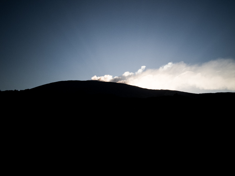
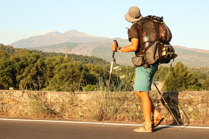
Overall it's similar hiking to yesterday. 4WD tracks and initially great views which eventually disappear completely as low clouds are rolling in from the west. Luckily though I manage to catch a glimpse of the Etna volcano, with what seems to be a bit of snow and smoke at the top. But it's barely visible and I can't make out the detail. Hopefully, the weather will improve a bit until tomorrow.
At least the clouds mean pleasant hiking temperatures. While it's humid, it's not particularly hot. Since Maria is still fighting with her blisters, progress is slow. It's interesting that a slower hiking pace is actually pretty tough on my body. I certainly wasn't expecting that.
Anyway, in proper thru-hiking style, Maria keeps putting one foot in front of the other and so we get closer to Torrente Zavianni, our today's goal (deviating a bit from E1 which makes a detour inland). I try keep her hiking spirit up.
During the last descent, the weather improves drastically, opening great views of the volcano again, which has gotten much closer since the morning. But not only the volcano but also the wide, dry riverbed of Torrente Zavianni far below looks interesting and I am looking forward to following it.
It takes a while to kill the 600 vertical meters. I don't mind as there is more time to enjoy the view.
We make it to the river just before 18:30. Well, it's more of a stream. Easily crossed. On the other side, we quickly find a place to pitch the tent. Not perfect but for Maria it's been enough hiking.
I'm quite proud of her achievement. The temperatures, the tough pebble beach walk earlier this week and continuing despite hurting toes. Tomorrow, she will head back to Switzerland. I really hope the time on E1 helped for her Te Araroa preparation.
Day 213: Off The Beaten Track
Torre Faro to Acqua Menta
Distance: 45km
I have never been to Africa. But somehow it feels like Africa when I take my first steps on Sicilian soil. Beige sky, hazy. Sand must be in the air. The sun barely able to shine through. And it's hot. Very hot already as I walk back towards Messina, where I took the bus earlier this morning to Torre Faro. Yes I know, thru-hikers do weird stuff. But it's what E1 wants us hikers to walk.
After a long day yesterday and a short night, I feel a bit exhausted. Especially in combination with the heat. A quick swim fixes the problem and I feel like a new person. Eventually, I leave the coast near Messina and head up into the hills, where I meet Maria, who took the bus.
From there, the walk gets extremely pretty. Initially on a tar-sealed road then on more or less rough 4WD tracks with phenomenal views left and right and some proper hiking track in the end. It's hazy but clear enough to see the mainland.
The trail stays in between 800 and 1000 meters above sea level. Not too much up and down which is especially appreciated by Maria. While it is hot it's also windy, actually making it not too unpleasant to walk. At least for me. I don't think Maria would agree :D
So Ww take it easy, leaving enough time for breaks.
Water supply is challenging. Luckily just an hour before pitching our tent, we find Aqua Lima - a fountain. Without this one, I fear we would have run into problems tomorrow. It's already 18:00 but we (Maria ;) decide to carry on. While that last bit on a hiking trail offers more spectacular views it's also slow going. With no suitable camping spot, we walk and walk and walk. Then, just when the sun is about to set, we reach a gravel road and some great camping spot. A long, but fulfilling day. And obviously I am very happy to see Maria up and running again.
First day in Sicily complete. While I was initially a bit worried about the heat, it wasn't as bad as I thought. And then there were the views, an absolute highlight. I am now really looking forward to hiking across the island in the coming days.
Day 212: Teamwork
Mimosa Campground to Villa San Giovanni (Sicily Ferry Terminal)
Distance: 60km
While eating tomato and cheese wraps at the beach, watching the sunset, we decided that a Zero Day for Maria would be the most sensible thing. No sense in making things worse by road walking the whole day.
I leavy early today. Very early. With the heat wave in full swing and temperatures up to 35 degrees Celsius, I am on the trail before 04:00 to have at least a few hours with pleasant temperatures. And I want to make it to the Ferry Terminal today - finishing mainland Europe.
The gate of the campground is locked, so I am forced to leave it via the backdoor and onto the beach, which I follow for a couple of hundred meters. Two dogs roaming around the beach in the dark scare me. After that encounter, I am definitely awake. Eventually, I rejoin the road, walk past a village and a port. As it is getting brighter I can see all the shipping containers. MSC, HamburgSüd, Maersk,... One of the few constant things on my hike. Since south Sweden, I spot them on ports and highways.
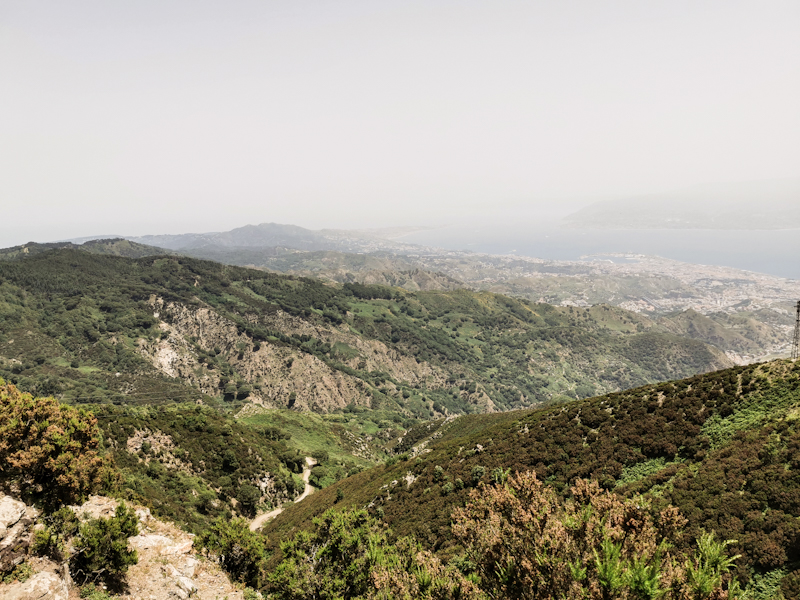
The air smells of sewage and burned rubber. A terrible combination and something I don't need in the early morning. Until late morning, the walk is fairly underwhelming. Depressing at times, as I make my way through dirty cities and villages. Things improve once I get closer to Bagnara. The views are excellent, in fact I can clearly make out Torre Faro, a decommissioned tall high voltage power line pylon, on Sicily, the trail head of E1 in Italy.
The Strada Stato 18, the road I have been following on and off since Salerno is not overly busy. Fruitstands left and right of the road give it a somehow non-European feeling.
Maria is waiting for me in Bagnara where we swim in Crystal clear water. Surrounded by high hills it feels amazing. While I am continuing my walk, Maria is planning. Arranging the ferry crossing, booking accommodation. It's wonderful having someone taking care of background. Thank you!
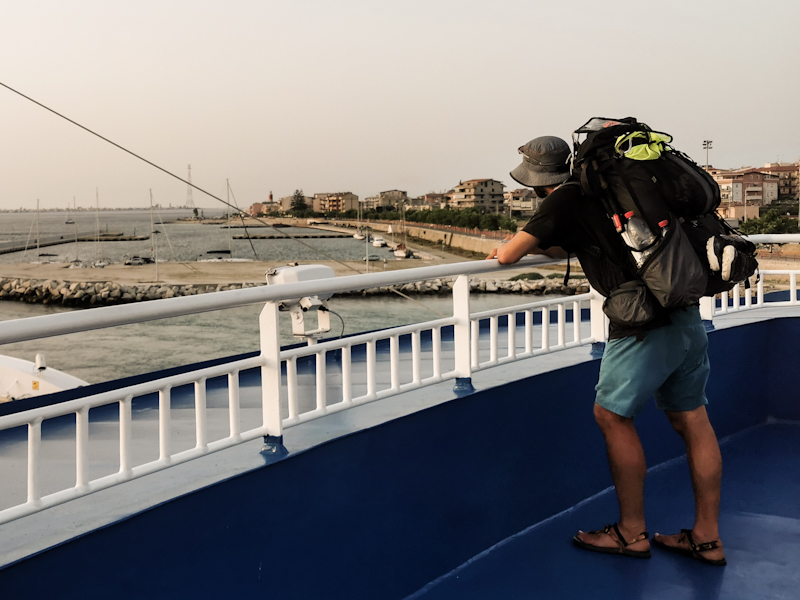
After another quick rendezvous in Scilly, I walk the final 10 kilometers to the ferry terminal, my end point of mainland Europe.
Literally 10 meters before reaching the terminal, I stand in front of a fence. I must have myself navigated into a dead end. I squeeze through somehow. It's a somewhat typical ending of my hike across mainland Italy.
The arrival is far less emotional than I thought it to be. Maybe it's the crowded, dirty location. Maybe the fact there's still some stuff to do. Mainly resupply. Which is not easy. Once more, shops on the map do not exist, a walk through the messy city of Villa San Giovanni unavoidable. Not exactly what I need after 60 kilometers of hiking. I meet Maria in the shopping center. I feel a bit sorry for her, as she has to deal with my temporary frustration. She tries her best to keep my hiking spirits up. It helps and once we board the vessel the earlier struggles are slowly forgotten.
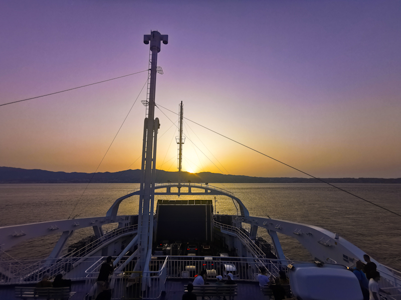
The sail across the straight is amazing. Heading straight for the sun, which is setting behind the mountain range I would be walking tomorrow.
Day 211: Sicily Calling
Vibo Valentia to Mimosa Campground
Distance: 35km
The long day yesterday left some marks on Maria's feet. Not the beach walk but on the last 10 kilometers on the road she caught some blisters.
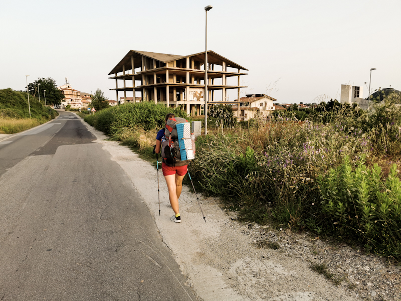
So we take it slow today as we leave Vibo Valentia. The surrounding of first few kilometers to a place called Aeroporto looks rather depressing with many buildings that were never completely finished. A landscape of concrete skeletons.
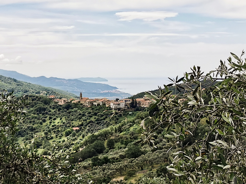
The scenery improves as we follow a quiet, windy road towards Nicotera. People are greeting us. I can imagine not many tourists, especially hikers, find themselves in this area, located a few kilometers inland. While walking the road and coming around a corner, we notice that the hills of Sicily are visible through the hazy air. An extremely emotional moment for me. A moment I have been waiting for a long time.
Every now and then we stop so Maria can treat her blisters. In Nicotera we treat ourselves with an ice cream. While eating it and admiring the scenery two South Tyrolean cycles that we briefly met on Falerna campground two days before, come around the corner. Super friendly people who are cycling the length of Italy. We have a nice chat and then they carry on. Their goal today: Sicily! But they don't get far. A couple of hundred meters later, they surprise us with a few beers. How cool is that!
Some more interesting talk follows. They sure are enjoying their retirement.
It's then definitely time to say goodbye. We carry on down to the beach, walk in the pine forest behind it all the way to the campground. A big one. Certainly the biggest I stayed so far in Italy. With a swimming pool, bar and restaurant, it brings back childhood memories from our camping holidays on Italy's east coast.
As I am writing this, I am sitting in a comfy beach chair, looking at Maria swimming in the sea. The sea breeze keeping me cool. A great feeling after a day in southern Italy's summer heat.
Day 210: Hardcore Beach Walking
Falerna to Vibo Valentia
Distance: 40km
A leisurely stroll along the beach. That's what I am hoping our day to be like when we leave Falerna.
Well, it starts quite okay but eventually the sandy beach turns into a gravelly then into a pebbly one. Initially, we are able to walk along promenades and the road. However, due to the lack of alternatives once past the Lamnezia Airport (which was surprisingly busy and which I like of course), it is 10 kilometers of tough going in the mid-day heat. Luckily the water keeps us cool and for the last 5 kilometers, going gets easier again. Otherwise, I don't think we would have made it.
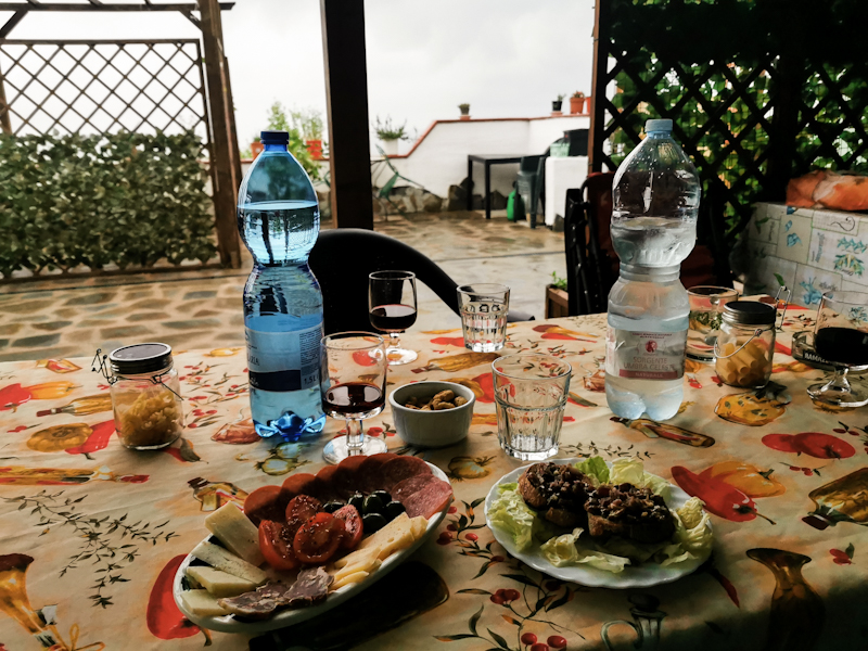
The struggle of walking the beach are quickly forgotten once we enjoy a delicious Tortufo Ice Cream in the Tortufo capital of Pizzo. After a final climb to Vibo Valentia we decide to take a B&B for the night. With unpacking and showering complete, we had out at 20:30 and head straight to the closest pizzeria. Way too late for dining for me as a Swiss but hey, we are in Italy and do it Italian style.
It's a fantastic pizza that we enjoy and a great way to end a challenging day. Out there on the balcony on a warm summer evening.
I am super proud of Maria. The day with the beach walk was much harder than I expected. Yet, she did amazing. I told her, that 90 Miles Beach is a piece of cake compared to what we have done today.
Hopefully, she won't be to exhausted tomorrow.
Day 209: The Beach It Is Again
Paola to Falerna
Distance: 45km
As I was lying in my tent last evening, my tent was vibrating with every train passing through. I was thinking "oh no, that is going to be an uncomfortable night"
However, 10 minutes later I was fast asleep and remained so until nearly 04:00. Wake-up time anyway.
With my headlamp on, I pass through the tiny tunnel and hit the promenade. I follow it and also walk on the beach for a couple of kilometers before going inland. The beach is too soft to cover longer distances and with no more promenade, I take a back road to Amantea. I planning on doing resupply. I pass several big stores but want to do the shopping at the last store. Mistake. Google Maps is inaccurate and there's nothing but a pharmacy. I curse. There's literally no more food in my pack.
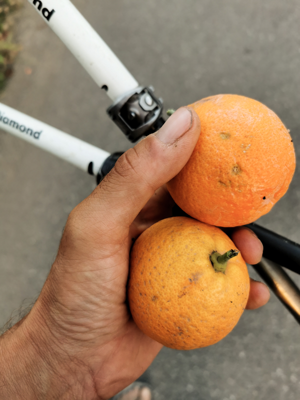
So I eat a big ice cream at a Cafe. Keeps me going. And then, after walking past hundreds of fig trees, finally a tree with some ripe figs. I take a couple of them. Jeeps me going again.
Several times I do swim stops. The water is getting clearer the further south I get. Once I get lucky when I spot a secluded spot from the road. Swimming between the rocks in the clear water. Amazing.
I keep on going. Trying my luck once more with beach walking. And finally, the ground gets firmer. A pleasure to walk on.
I'm also happy for Maria, a good friend from the Engadin and future Te Araroa walker, who is joining me for a couple of days. She will have a bit of nice beach to start her hike with.
After finally doing my resupply, I meet Maria at the bus station. Great to see her again! We hit the beach immediately. It's 18:30 already with still a few kilometers to go. Feels great having some company!
The sand gets softer with every step so we are both happy, when we reach our campground, more or less right in time for sunset, which is once more spectacular.
Day 208: Beach Hopping
Fiume Lao to Paola
Distance: 55km
A quiet night if it wasn't for a couple of idiots lighting a firework at the beach in the middle of the night. But I fell asleep rather quickly.
The friendly security guard is already waiting, when I approach the gate. I was told yesterday, he would open it for me.
After some small talk, I am on my way again. I am doing more road walk than I was planning because the gravelly sand is very slow going. So after a kilometer I give up and follow a mix of promenades sidewalks and roads.
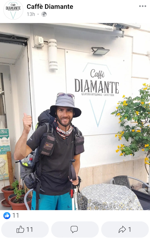
In Diamante, I get invited for a coffee by the owner of a Cafe. In return I pose for photo for the Cafe's Facebook page. Seems like I get some local fame :D
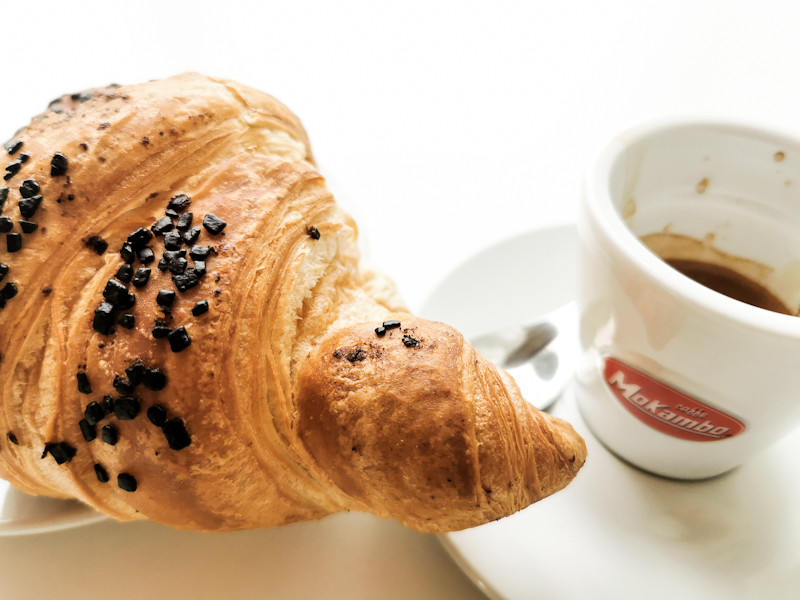
In the next village, I stop for some pastries. One of them a chocolate croissant. Nearly bursting because it's stuffed with chocolate. Exactly the way I like it. Unlike these pathetic ones with just a trace of chocolate.
This one is keeping me full for a while.
Overall, it's a good day walking. I eventually stop counting my numbers of swimms today. The beaches are so plentiful and accessible, I can't resist. Especially, around lunch time and early afternoon, when the heat is my biggest enemy.
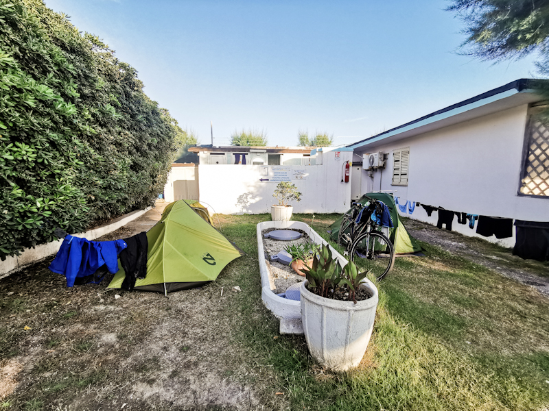
As I try to avoid wild camping in this rather busy area, I Google a campground in Paola. Missing language skills on both ends make check in a challenge. Eventually, it works though. Super basic,but enough
Everything I need (water, electricity and a hot shower). 20 meters from the railway line connecting Calabria with the north. The boulder beach is accessible via a narrow tunnel beneath the tracks. I'm sitting there as I am writing this. Enjoying yet another lovely sundowner.
Day 207: Azzurro
Sapri to Fiume Lao
Distance: 45km
A warm night, but dry. Which is always appreciated since packing a wet tent is not much fun.
I take my time packing as I want to walk the road with enough daylight. It's a spectacular road, carved into a sheer rock face, winding its way to Matarea. Facing west, there's no sun, but there are no cars either. So I can pay all my attention to the views.
With the sun come the cars. But only for a short while since there are signs saying the road is blocked ahead. Waking the detour would mean nearly an additional day, so I push on, trying my luck. Walking into a possible cul-de-sac is not easy mentally. Once there, I see plenty of workers (on a Saturday! In Italy!) and a big "no access" sign. So I try Plan B: bush bashing. I get lucky, eventually stumble across a bulldozed track. After 3 or so kilometers I am back on the road. A bit of excitement.
At this point, I have been walking for 6 hours straight. Never took off my pack. So I treat myself with a swim, having a chat with Younes, a refuge from Marocco. He suggests to continue my hike across his country once I finish in Sicily. Well, never say never but it might be a tad hot.
Writing of the temperature: it's early afternoon, the heat is daunting. As I walk above the steep cliff again, I look down at the azzurro colored sea. So pretty. So inviting. I leave the road, head down. Find my self a spot beneath a rock. The beach is busy but I understand why. Feels secluded, yet easy to reach. After two swims and a bit of dolce far niente, I continue. Nothing too exciting to write about the last couple of kilometers. As I walk through Scalea, I do resupply. Resupply in Italy, always a pain. Somehow I find the stores so confusing. It takes me ages to find what I need.
Luckily, I have plenty of time and arrive at Lao Campground just after 17:00. It's just me. No other camper. And it's Saturday evening. Oh well, I don't mind. No need to be quiet tomorrow morning.
The waves are big, swimming not really possible. It's a wild but wonderful beach, reminding me of one of the many New Zealand west coast beaches. So I enjoy my quiet evening, just enjoying the atmosphere.
Day 206: A Long Way I Go Over The Hills And Along The Coast
Torrente Fiumicello to Sapri
Distance: 60km
Finally a night with some decent sleep. Therefore, getting up and starting my hike goes quite easily. It's a clear but extremely humid morning. It feels like you could cut the air with a knife.
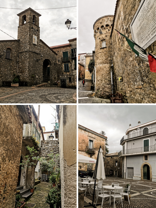
Initially, I follow the coast but the big chunk of today's hike is further inland. I follow quiet roads, pass through, what I would consider as very authentic Italian villages. I stop for coffee and ice cream but generally keep moving. Only in Bosco, my favorite town of today, I take some detour. Such a picturesque place with amazing views. It's also where my feet need some attention. Blisters.
I am then descending back to the sea. Walking down here, along busy roads, is not much fun. However, swimming in the sea and the costal views (that remind me of Norway) are well worth it. My body feels excellent. I probably could go on much further. The sun is setting however, and I pitch it where I had intended to (I checked the place out beforehand with Google street view).
I pitch the tent and end a long, fulfilling day with some delicious smoked cheese.
Day 205: Blue Sky Ahead
Vatolla to Torrente Fiumicello
Distance: 35km
Müesli with melons and apricots, scrambled eggs, bread with homemade marmelade, fruite juice and two capuchino. I take my sweet time today.
After saying goodbye to my wonderful hosts, I hit the trail just after 09:00. The rain has stopped and the sky looks rather friendly as I make my way through picturesque villages along quiet roads. A pleasant walk. Eventually, I am leaving the hills for the coast again. Busier, generally uglier looking. Still, the sea is nice and I go for a quick swim. As the coastline is steep, the road climbs again. According to Google maps it's closed. I am slightly worried because if couldn't walk the road, it would mean a looooong way round. An additional day at least. The road is closed indeed. Big concrete blocks blocking the way. But on foot, easy to navigate through.
Since it's already 18:00, I decide to use this quiet stretch of road to camp. Unfortunately, a heavy rain shower is passing through just before I want to start pitching my tent. I wait. I get soaked. I curse. Such an unlucky timing. However, I am glad I waited. To soil is hard as rock. I am not able to hammer my pegs into the ground and need to improvise. In the end, after hard work and getting bloody fingers, the tent is standing. Nothing more. If there's going to be wind... That won't be fun.
Anyway, for now, I am happy to have found a spot. Not an easy undertaking when following the coast here. And I am also happy and relieved that the weather should finally improve. No more rain, no more thunderstorms. And it should already be like this from tomorrow onwards! Fingers crossed it will really happen!
Day 204: Hike And Swim
Salerno Camping to Vatolla
Distance: 45km
As the previous night, my sleep is not good at all. I stay awake most of the time. And I can't really figure out why.
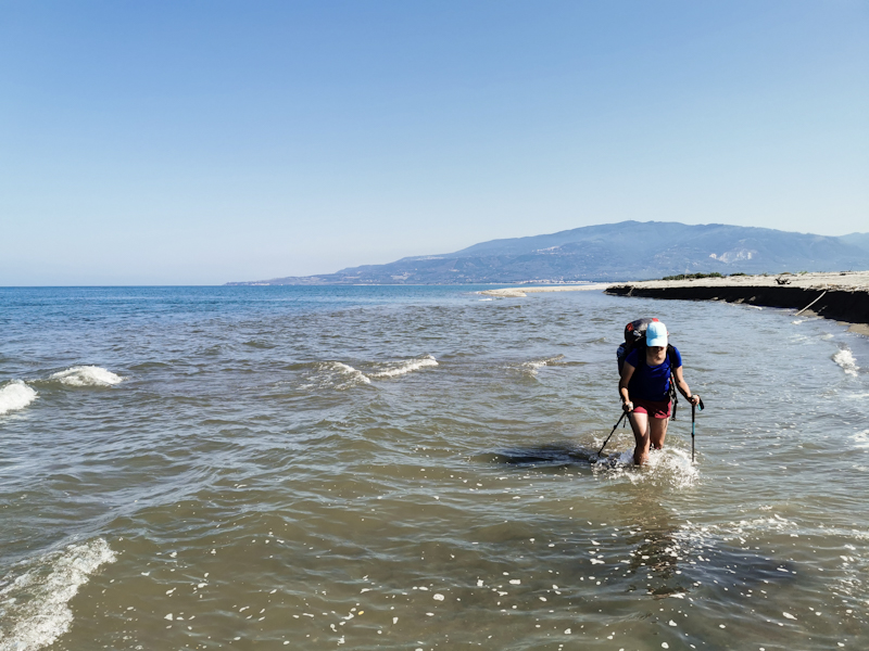
I hit the beach shortly before 05:00. Everything goes well until I want to cross a first river. On the satellite image it looks like a harmless enough crossing. In reality... Not so much. I do a trial run without backpack. I make it across but I am in the water waist deep. On the way back, I get swept away by the current. It needs quite an effort to swim back ashore. And this all happens before 06:00. What a start into my day.
Crossing with the backpack is a clear no go. Since the beaches are mostly private, there's no access to the road. I backtrack. A 30 minutes detour. Not what I need. I cross the river via the bridge and rejoin the beach. But only for a wee while. A small port is blocking my way and again no way out. I squeeze under a gate. Rejoin the busy road. Narrow, no side walk. A terrible walk. My hiking spirit reaches a daily low. Not what I expected my beach walk day to be like.
But I don't give up. Rejoin the beach once more. This time it's a wonderful beach walk all the way to Agropoli. Several times, I go for a swim. The beaches slowly but surely become busier. I wonder what people think of me walking the beach with a big backpack. I come to the conclusion they probably think I am just another guy trying to sell fake clothes or watches. Totally fine with me.
I leave the beach at Agropoli, head inland again. Spontaneously, I decide looking for a dry roof. The weather forecast for tonight and tomorrow morning is getting worse by the minute. I get lucky, find a very affordable bed and breakfast close to the trail. A short backtrack but I am used to that already.
I arrive 30 minutes after making the reservation. The hosts, a outgoing Austrian couple, welcome me their lovely place with great views. They offer to cook me dinner. I am glad I accepted because it's delicious. After some nice talk and self made liquor, I excuse myself and head to my room. I'll take it slow tomorrow. The last 6 days have been rather long ones and I don't feel like heading out into the rain that early.
Day 203: Getting Wet By Choice
Ospedaletto d'alpinolo to Camping Salerno
Distance: 50km
I wasn't able to find the apparently best chocolate in Italy while strolling around the town yesterday. A shame but life goes on.
After a light sleep I pack and leave my room just before 05:00. As I stumble through the lobby, half asleep, the night portier (yes, I am as surprised as you that there's one) offers me an espresso. What a nice surprise and lovely start into the day.
A hiking day, which begins with walking some quiet back roads through hazelnut plantations. As I learnt yesterday, Nutella is made out of hazelnuts from this region. As I get closer to Salerno, the area gets more densely populated, the roads busier. Initially, it's interesting walking through all these busy villages, observing the locals. Eventually, as the I approach the suburbs, it's not too much fun anymore.
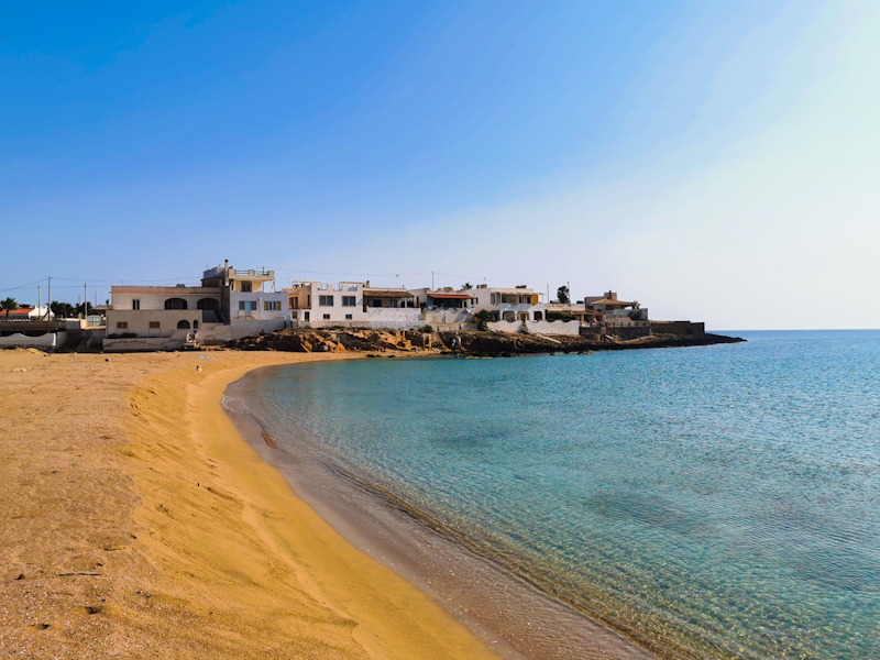
Therefore, I am relieved once I arrive in Salerno and full of joy once I see the sea. It's been a long time on E1 since I have walked the beach. In the region of Kiel in Germany if I remind correctly.
It's drizzling. What else would you expect. Nevertheless, I head straight for the beach, go for a swim. Feels so good. All the struggle of this morning forgotten. I continue walking. Not on the beach. Soft terrain and private beaches make it impossible. So I walk on the road towards Salerno Lido Campground. While doing so, the weather improves dramatically. I go for another swim.
I wouldn't consider the beach, nor the shore as particularly pretty. Dirty, run down, lots of deserted buildings. But I don't care. As long as there's beach access every now and then, I am happy.
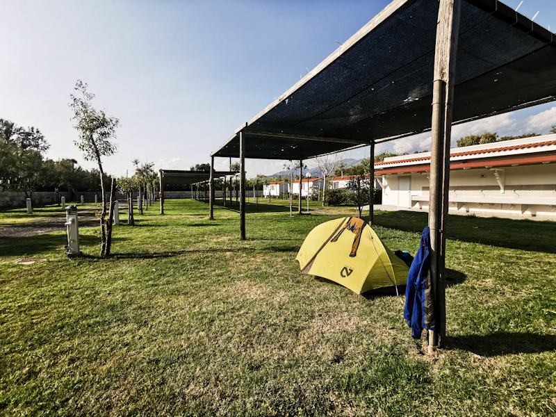
I arrive at the campground at 18:30, get placed next to a girl cycling Italy. It's a decent campground with direct access to the beach, where I enjoy another swim and a spectacular sunset. My second night on a campground on E1. The first one was day 1 on E1. It's been a while!
Day 202: Drenched
Taburno to Ospedaletto D'alpinolo
Distance: 45km
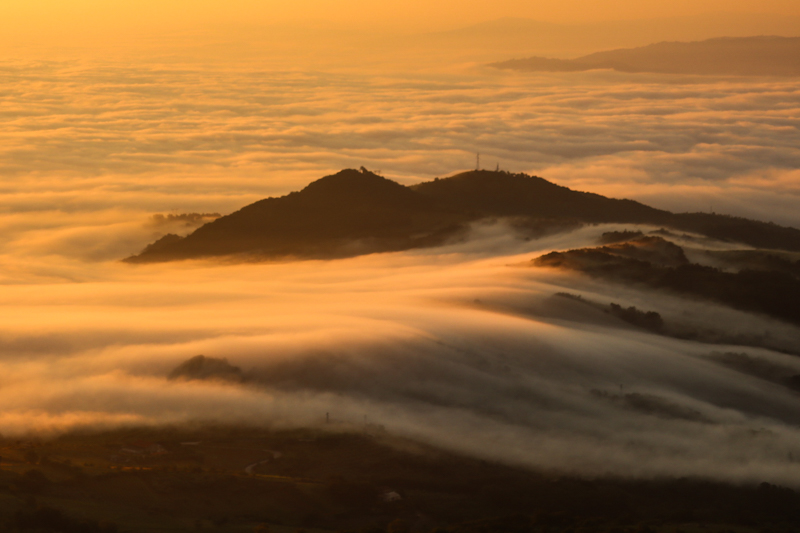
After a very peaceful night I continue my walk through the beech forest. The scenic views are rare but the once I have are wonderful. Fog swapping over the hills below. A special sight.
Once down in the valley, I enter the city of Montesarchio. Utterly depressing in its appearance I think. Things are not getting better as I follow a busy road.
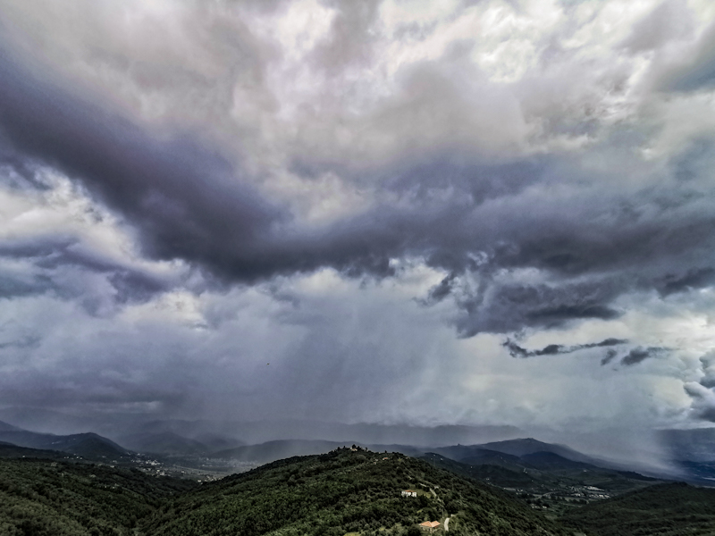
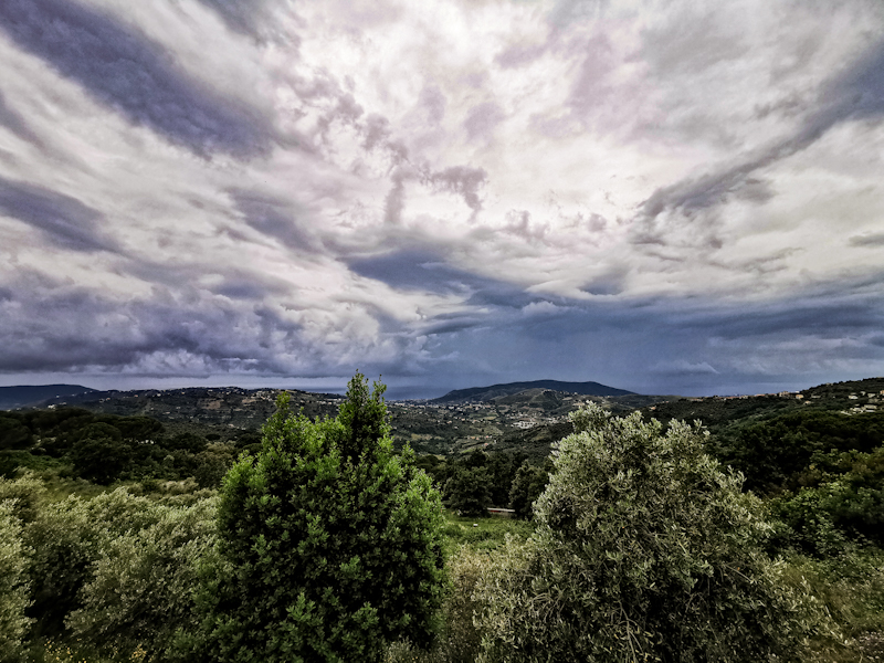
Things change once I enter San Martino. A cute town, perfect for a break. I then enter Parco Partenio. The only road through the is closed and I am a bit worried I might have to turn around. But I don't. It's a lovely walk. At Lago Maggiore (not the big one in Switzerland) I meet Donato and his nice family. They offer me a pannini, which I gladly accept. During our conversation, dark clouds are rolling in, the smell of rain in the air. They offer me a ride. As much as I would like to accept, I can't. No cheating. So I continue and shortly after get into a nasty thunderstorm. Heavy rain leaves me soaked within seconds and coffee bean sized hailstones hitting my head hurt. Dripping wet I enter the Cafe at Santuario Di Montevergine. Quite a famous place. While I sip an espresso, the thunderstorm keeps raging right above the sanctuary. I'm a bit clueless what I should do. It doesn't seem like the weather is changing anytime soon.
I don't really feel like camping tonight so I check for hotels. There's one around 10 kilometers away and it sounds and looks luxurious! At 40 Euros quite a bargain. I pull the trigger.
With a hot shower waiting for me, I am flying down the steep but well maintained track. Still raining, still thunder and lightning. It's amazing how my mindset has changed over the last couple of days. I don't mind the rain. I accept it and see the positive side. Makes my trail life so much better.
Freshly showered and dry now. I'll finish the blog then head out to explore the town. I heard they are famous for their chocolate. As good as the Swiss one or even better. Let's see!
Day 201: A Plane In The Sky
Bocca della Selva to Taburno
Distance: 50km
A wonderful evening and suitable ending of Day 200 with a little bit (too much) local Liquor.
I feel like a train wreck, when I pack my stuff. It's only 04:30 when I have coffee with Umberto, who kindly gets up early to say goodbye.
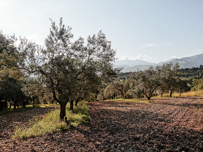
The day starts with a steep descent, with spectacular views of the foggy valley below, followed by a mostly flat middle part, walking through vineyards and the odd olive trees. I am listening to music, with my eyes chasing a bright orange easyJet Airbus lazily descending towards, what I assume, Napoli. It's at this very moment I somehow feel fully at peace. Happy. Maybe the combination of these factors make me feel this way. This feeling comes quickly, unexpectedly. And as quickly as it came, it disappears again. And it's definitely gone, once I am stuck in a massive construction site. New highway or rail road it seems. A déjà-vu. Happened to me just south of Hamburg.
The site is fenced in, I throw my backpack over the fence, then climb under it. Twice. I don't like doing it. Feels wrong. But walking back feels even more wrong.
I reach buzzing Solopaca in time for the daily lunch time downpour. Just before it starts bucketing, I have a chat with some local kids playing football on the main piazza. Then we all seek shelter. Once more I use the time wisely. Writing the blog for my trusted followers ;)
Then it's up again. Back above 1000 meters above sea level. As always, these last kilometers are tough. It's drizzling but nothing dramatic. The forest left and right of the road is full of picnic areas. Finding a place to camp is super easy.
I settle in. Perfectly flat spot within beech forest, no cell phone reception. A welcome change.
Day 200: 200!
Castelpizzuto to Bocca della Selva
Distance: 50km
I haven't reached my destination for today. I'm halfway through the day, 30 kilometers down and at 20 kilometers to go. Since I am currently stuck in Campitelli Matesi, a skiing field, due to a heavy downpour, why not using my time wisely and write a bit for my blog.
200 days! Day 1, my start at Nordkapp, is still present. It feels like yesterday. A wonderful day, leaving the cape just as the sun rays break through the fog. One of my, if not my most favorite, days on the trail. Then Day 100, reaching Smygehuk. A mostly sunny day, even though I got caught in a rain shower. The first one in two weeks. Gosh, that was some stunning weather I had back up there in southern Sweden.
These memories, in situations like this, being stuck under a tiny roof from a deserted restaurant, which help me keep going. Yes, I might be unlucky with the weather right now, but I also had the pleasure to enjoy some fabulous weather along the way. In fact, looking back, I was incredibly lucky. Also this bad weather period will eventually dissappear. Maybe not today, maybe not tomorrow. But it will change.
I have a good sleep. Only disturbed by a passing tractor and some light rain in the morning. Rain always feels respectively sounds worse when inside the tent, than it actually is. So when I get out of my tent, it's not nearly as bad as I have feared and I can pack without getting to wet. After a bit of a rough 4WD track in the beginning, going is easy. Up and down but never too steep. I decide on following roads. Adds kilometers but better for my nerves. The light rain eventually stops only to start again, this time heavy, just as I reach Campitelli Matesi, where I luckily find some shelter. Sooner than later, the rain stops and I am on my way again. Following a scenic road, closed for vehicles. The views improve as I go. It's a pleasant walk, if it wasn't for the live stock guard dogs (or however you call them), acting quite aggressively as I pass by cows, goats and sheep. Obviously, they just do their job, nevertheless, I feel a bit uncomfortable.
Day 200. Not as spectacular as the previous "anniversaries", yet an overall pleasent day on the trail. But wait...
I have just passed the 50 kilometer mark, when someone is waving from me from a porch, inviting me for a cafe. Gladly I accept. A bit of socializing is exactly what I need. Once dark clouds are rolling over the hills, Umberto, a very friendly police officer from Bologna invites me to spend the night at his place. Trail magic!
While it's pouring down outside, I enjoy a hot shower, a delicious meal and a good time in front of the fire place. Well... after all a day to remember!
And what about day 300? Unsless I turn into a snail, day 300 won't happen. My optimistic plan is that I will finish within the next 30 days. But that's still far away. Until then, I take every day as it comes. Step by step.
Day 199: A Little Bit Of Fighting
San Pietro Avellana to Castelpizzuto
Distance: 50km
Despite camping right next to the cemetery, no ghost was visiting me last night. Or at least I didn't notice. My sleep was wonderfully deep.
Well rested I hit the trail on a chilly, foggy morning. The first 20km are along quiet roads. Unspectacular. Highlight: a fox being chased by a cat. Somehow, I don't really find my rhythm and going is a bit rough. Anyway, I make good progress, only slowed down when leaving the road, following, or trying to follow hiking paths. Whenever I do so, it's a struggle. No marking, no visible path at times, muddy. I waste time and battery using GPS to navigate. With each of these experiences, I'm inclined to choose road walking when I have the choice.
I pass through busy villages, trying to talk with locals, who wonder what I am doing. With hands and feet I try to explain and sometimes I have the feeling people actually understand.
As the hours are passing by, I still feel a bit powerless. At least the wonderful views towards the end help me to keep going. After 50km, I feel my energy level drop to zero. Mentally and physically exhausted. Time to pitch my tent. Luckily, I find a suitable, well actually perfect, spot right beside the road. Flat, sheltered, decent view. I cook and eat my porridge, brush my teeth and as soon as I have finished the blog, I will call it a day. Time to recharge my body.
Day 198: Whatever The Weather
Sulmoma to San Pietro Avellana
Distance: 50km
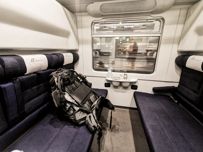
Only thanks to a sprint across Milano Centrale train station I made the connection. The train was already pulling out of the station, when the train staff is showing me my private "suite". If I hadn't made the connection, it would have been a miserable 9 hour wait in Milano.
I got offered linen and a free snack, then made myself comfortable for the 6 hour ride to Pescara.
While I didn't sleep much, it is still a very pleasant experience on board the sleeper train. I get off at 04:00 in Pescara and take a bus to Sulmoma. Shortly past 06:00 I am on the trail again, walking through a Sulmoma, which is waking up. Cafés are opening, old men gather around Tabacchis, reading newspapers. It's a lively city and also a pretty one. Nonetheless, I keep walking, just stopping for a couple of photos. The urge to continue is immense.
So I walk and walk and walk, mostly roads initially. It's 12:00, I am close to Pescoconstanzo, when I feel the first rain drops. I say to myself "there won't be a lot of rain" and I keep walking. Then out of nowhere it starts pouring down. I find some shelter under roof, watching the road turning into a river. As the rain eases, I continue. With my changed attitude towards rain, walking in it goes easier. Nevertheless, when it gets too strong, I seek shelter.
People that I meet along the way are all smiling at me. It seems like thru-hikers are a rare sight and the people seem genuinely interested. Once past Roccacinquemiglia, the tracks are getting terrible. Overgrown, muddy (it literally feels like the Northland forests on Te Araroa), not a single marker. Rain keeps coming. Ticks and mosquitoes join the party as well. I start feeling tired. Strangely, I manage to most3keep my hiking spirit up. Shortly before 20:00 I make it out of the mud hell. Pitch my tent at the first possible location right behind a cemetery. Nothing amazing but practical. My first campspot with a water source since Firenze!

Relaxing, Recharging, Replanning
Last week, I spontaneously decided to take a couple of days off trail. I wouldn't call them zero days but people I stayed in regular contact with knew, I was struggling a bit mentally on the trail in the beginning. Eventually, I got into the flow. Nevertheless, I then spontaneously decided to take a break. Mainly because of the weather but also to gather my thoughts. I'm still not sure whether it was the right decision or not. In the end it shouldn't matter I hope.
Now, four days later I am sitting in a EuroCity train inbound Milan, where I will board a night train to Pescara. If everything goes according to plan, I will be back on trail by 06:30 tomorrow morning.
The weather has been amazing over the last few days and I spent my time, when not planning, running and swimming in the lake, where I could completely forget the challenges my Italy-thruhike is throwing at me.
Tomorrow, I will start facing then again. The weather hasn't improved that much but I tried to mitigate the other challenges by amending the route, mainly following roads, avoiding hiking tracks. It took time to do so and I have no idea how it's going to play out. I will see tomorrow. For now, I sit back, relax some more and enjoy the ride.
Day 197: A Change Of Plan
Nucleo Area Artiginale (Raiano) to Sulmona
Distance: 10km
Sleeping in a recording studio means absolutely no outside noise. Good sleep? Well, not really. My head is spinning. But I'll come back to that later.
At 06:00, I leave my Airbnb, bound for Sulmona, where I would catch a train to Pescara for a quick beach getaway. It's flat, straightforward.
On the way there, I rewind my overnight thoughts. Should I take a couple of more days off trail than just a day? The daily thunderstorms, which commence around noon, and the not better looking outlook make me think that way. Obviously, the trail is still walkable but it's also a bit of a pity always getting tense as soon as I tilt my head up and look at the clouds, never knowing if I get into a storm.
In Sulmona I board the train, taking me to Pescara. Still not sure what to do. As soon as I arrive in Pescara, I head straight for the beach. Walking in the sand feels amazing and so does the quick swim in the warm water. As soon as I come out of the sea, I decide to take a week or so off trail. It's not an easy decision since I just recently found great pleasure again in walking. This will certainly disrupt the flow but my respect of thunderstorms and plenty of time on my hands outweight it.
Spontaneously, I book a train north, back home. Stable weather and better options to recharge.
Already now, as I am sitting in the Eurocity Train, I am looking forward to rejoining the trail. That's the way it should be. I'll be back!
Day 196: Down Into The Heat
Castelvecchio Calvisio to Nucleo Area Artiginale (Raiano)
Distance: 35km
No church bells, no barking dogs, no rain. After an uneventful night, I leave for lower lands. Mostly along back roads and farm roads I make my way towards Popoli then Raiano. There really is not much to write about today. After spending the last couple of days generally above 1000m, today I spend most of my day between 250 and 350m. The sun is shining relentlessly, going is though as I pass plenty of vineyards and olive trees.
I booked an Airbnb for tonight. Nothing fancy. Just practical. With internet, a small kitchenette. Nothing more.
After a bit more than 35km I arrive there at 15:00. Settle in, dry my wet tent and start my planning for the next few days.
As of now, I intend on roughly following Sentiero Italia/E1 until the vicinity of Napoli but then, instead of going inland again, follow the coast. Yes, it's going to be plenty of road walk. But honestly, I have seen enough of the hilly Italian inland. I miss the sea breeze, the beaches, the swimming in the sea. It's still a couple of days until I will reach the sea. Until then, I continue the up and down inland.
Tomorrow I want it to be a bit of a different day. I will start at 06:00, walk to Sulmoma, where I am planning on boarding a train to Pescara. A short getaway from the trail. Just for a few hours. Just to stand with my toes in the sand, before returning back to the trail later tomorrow. Beating the heat and hopefully the thunderstorms which are still making my trail life a lot more complicated.
Day 195: Wide Open
San Pietro della Ienco to Castelvecchio Calvisio
Distance: 35km
03:33 - in a Big Ben fashion, the little church's bell start playing a melody. My pulse goes from 50 to 150 bpm until I realize, what is happening. From that moment on, the bells are announcing every quarter of an hour. That's it with sleeping.
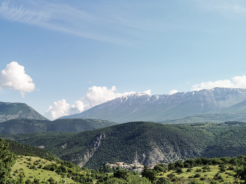
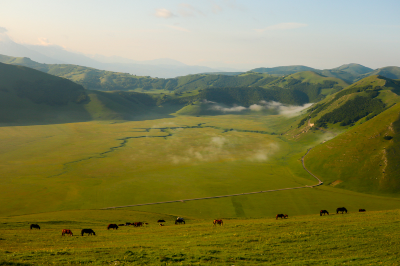
Everything is still damp and it's an uncomfortable start into my day. The weather looks nice though. Only some high stratus like clouds. I continue along the road and eventually join Sentiero Italia, which I didn't want to follow yesterday due to weather and possible snow along the way. The walk today is on high plains, predominantly above the treeline. The views therefore spectacular. Despite Corno Grande, the highest peak of the Appenine, engulfed in clouds, I still get some decent views of the snow covered mountains.
As I make my way down, as usual, cumulonimbus clouds are building up. They are not an immediate threat though. I pass by two middle age looking villages. Pretty spectacular in fact. I decide to have a coffee in the second. Bad decision. The second village looks like a ghost town though. No coffee no nothing. At least I find some water in the cemetery. Like in good old Germany.
Shortly after having filled my bottles, I find a sweet spot to pitch my tent. Sheltered, yet still some good views. A rare combination. It's only 16:00 but my body says: enough! So I pitch my tent. Good decision. Shortly afterwards, a heavy rain shower passes through. With plenty of time left, I start planning the next couple of days. It's straight forward. Only the continously unsettled weather is worrying me a bit.
Day 194: Straying
San Tomaso to San Pietro della Ienca
Distance: 50km
How does one say: the higher you climb, the harder you fall?
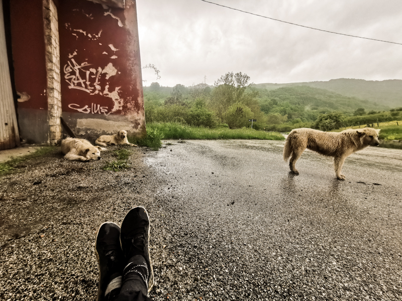
After the previous two amazing hiking days with plenty of highlights, today is a tough day. It already starts when I wake up to the sound of rain. A sound I dislike a lot in the morning, in a tent. Reluctantly, I pack my wet tent and leave my campspot. The rain makes me feel cold instantly. By the time I reach Amatrice, yet another village basically completely gone, I feel very uncomfortable. After a quick resupply in a temporary barrack, the sun quickly comes out as I walk a muddy, rough trail towards Lago di Compotosto. The first lake in 10 days! I can't resist and jump into the water before continuing my walk. The weather turns bad again. Along the road, I meet three straying dogs. Initially, they make me feel a bit uncomfortable as they are following me but I soon recognize they are really friendly. Once the weather goes from bad to worse, I find shelter in a ruin next to the road. The dogs join me and together we hold a who-looks-the-most-miserable-competion. Eventually, I carry on, leaving the dogs behind. I look back over my shoulder several times, secretly wish they'd follow me, as I really start to enjoy their company. In fact, it's this encounter was my today's highlight.
I think the weather can't get any worse. But it does. It pours. Heavy, heavy rain. I feel exhausted. It's just too much rain. A try to change my mindset. Seeing something good in the rain. It's not easy but it makes it a bit more bearable.
Eventually, I reach a small settlement. I pitch my tent. I do it in front of the church. Probably highly illegal but I couldn't care less.
It's still raining. My tent is barely coping with the water. From above and below. I really hope it will eventually stop.

Day 193: Spotted!
Poggio di Fonte Chiusa to San Tommaso
Distance: 40km
A cold night. Therefore, my sleep wasn't that good.
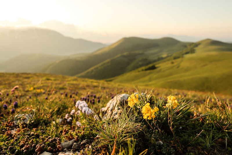
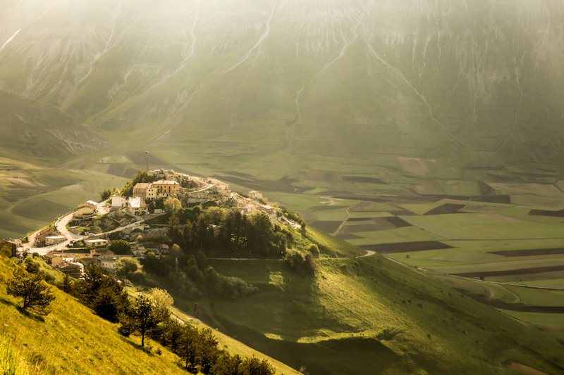
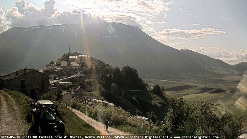
I wake well before 04:00 and eventually get ready to leave. The walk is continuing as it ended yesterday: spectacular. After 3 hours I reach Castelluccio. A bit of a detour but worth every extra step.
While the village itself got mostly destroyed by an earthquake and thus is off-limits, the view down a massive flat area are breathtaking. And then there's the live webcam of Castelluccio. While I initially stand at the wrong place, too close to the camera, I eventually move into the picture and get spotted by some of my most trusted followers.
Since the cumulus are towering again, even earlier than yesterday, I keep on walking. Thunderstorm cells everywhere. Just as one comes very close, I enter the temporarily relocated village of Accumoli, where to my surprise, the Cafe is open. Inside I meet Francesco, a wonderful hiker and firefighter from Trento. He's doing a hike connecting different areas, all affected by earthquakes. As it turns out, we both are avgeeks and spend probably 2 hours talking about aircraft. It feels great to have a longer, deeper conversation with someone after hardly talking to anyone for over a week. By the time we say goodbye, the rain has stopped and I continue my hike. The last couple of kilometers are rough and the trail not always easy to find. Luckily, it's surprisingly well marked. Which I appreciate because due all the earthquake damage, the maps I am using are not always accurate.
Good places to pitch my tent are rare and before getting into populated areas again I pitch it just a short distance from a farm in the forest. The farm dog is barking and I have already spotted four boars. I'm not convinced I'm going to have a peaceful night.
Day 192: A Little Bit Of Luck
Colfiorito to Poggio di Fonte Chiusa
Distance: 40km
A barking dog wakes me up shortly after 3 in the morning. I close the window. Quiet. But I can't fall asleep again. Bugger. Instead of just lying around, I pack and hit the trail at around 05:30 on a chilly Monday morning. A bit of road walk (I follow the road a bit longer and join E1 a bit later) before I continue following grassy ridges again. Especially the second part of today is spectacular. Great trails, even better views with snow covered peaks now slowly appearing.
Today, it is more up and down though. From 1200m down to 500m and up to 1400m again and then some more up and down. My body feels well and I cover the vertical meters without too much hassle.
What causes me some headache is the weather though. Cumulus clouds are towering quickly and soon enough I am surrounded by Cumulunimbus clouds. But I am lucky. First there's a big cell ahead of me. Thanks to the north easterly winds it gets blown away from me. Then there's one behind me, catching up quickly. Since I marked some sheltered spots on the map yesterday, I know it's not far anymore to one of them and decide to camp there despite only being 16:30. The next sheltered spot is 8 kilometers away. Too far to make it today and don't really feel like getting into storm in the middle of it.
I'll start early tomorrow again, trying to beat the thunderstorms.
But for now I made myself comfortable in my tent. The thunderstorm disappeared and all that was left of it were some rain drops. Nevertheless, it was the correct decision for me and in the end I am happy I didn't end up all miserable in the middle of a thunderstorm.
Day 191: The Shower Is Calling
Passo del Termini to Colfiorito
Distance: 20km
Rarely have I sleep so well in my tent. 1 only wake up once and therefore hit the trail well rested. It's a straightforward walk today. Not too many vertical meters and mostly along roads.
I am taking it slow, timing my arrival time in Colfiorito at 10:30 - the check-in time at the hotel. After some long, physically and mentally challenging days, I decided to treat myself with a hotel. To relax a bit, collecting my thoughts. And of course: take a shower. I'm not too picky when it comes to not washing myself for a couple of days but after 7 days in the heat, sweating like a bull and without any lake or river to wash myself in, I'm in desperate need of a shower.
Besides the mentioned things, I will resupply and plan my next couple of days (the Abruzzo mountains still look like off limits to me because of the snow). Also the weather is worrying me a bit as daily afternoon thunderstorms will make my trail life a bit harder.
Other than that, there's really not much to here in Colfiorito other than just Dolce far niente without feeling guilty of missing out on something.
Day 190: Flower Power
Punta Sassopecoraro to Passo del Termini
Distance: 40km
It was very windy yesterday evening, when I pitched my tent. I was sure, the wind would decrease, once the sun sets. I was wrong. It kept rocking my tent throughout the night, making a good sleep impossible.
Not surprisingly, I wake up early. Tired from the noise of the wind I start packing. Quickly, as the wind chill is unpleasant.
Soon after I hit the trail, which starts with a steep climb up Monte Cucco. It's not on the E1 but despite adding some vertical meters, it is quicker than walking around. And the views: fantastic. However, I can only enjoy them for a couple of moments, before the clouds are engulfing the mountain. Without tracks nor markings, finding my way down is a bit tricky. Eventually, I make it and continue my way south. Markings are mostly non-existent and I have to rely on my phone. With a few exceptions, the tracks are generally in good condition. It's a continuous up and down and I am amazed with what my body can achieve.
Highlight of today: the walking along shallow, grassy ridges. In fact, they are so shallow it feels like on a high plateau. A bit like the stretch between the Nordkapp and Kautokeino in northern Norway. It's a spectacular walk through Alpine spring with millions of flowers in all different colors and sizes. It's a pleasure to walk and I wish it would never end. My plan camping up there gets literally blown away by the wind. So I make my way down, where I quickly find a spot for the night.
Tomorrow is a comparably short day to Colfiorito, where a hotel room with a hot shower is awaiting me.
Day 189: The Road It Is
Monte Castellaccio to Punta Sassopecoraro
Distance: 45km
After yesterday's experience, I am a bit weary when it comes tracks leading nowhere. So today when, shortly after leaving my camp, a sign posts shows directly into the undergrowth, without any clear path visible, I decide on taking back roads instead today. Adds a bit of distance but it saves my nerves. Therefore, there's really not much to tell about today's hike. A mix of forest, farmland and small settlements. All of them looking run down a bit. While roadwalk means good progress, it's also hard on the body. I feel stiff, when I reach Scheggia. After 11 hours in the hot sun, I treat myself to an ice cream and refill 5 liters of water, before tackling the last climb, leading me into the Monte Cucco Regional Park. As I climb higher, the views become spectacular. I find myself a spot to camp. Not many suitable places but eventually I get lucky. It's windy though but after being on the trail for 13 hours, I walked enough. Enough water but too much wind to cook. Oh well, so a cold dinner it is. Anyway, the views easily make up for it.


Day 188: Lost And Found
Bivacco Paolo Massi to Monte Castellaccio
Distance: 35km
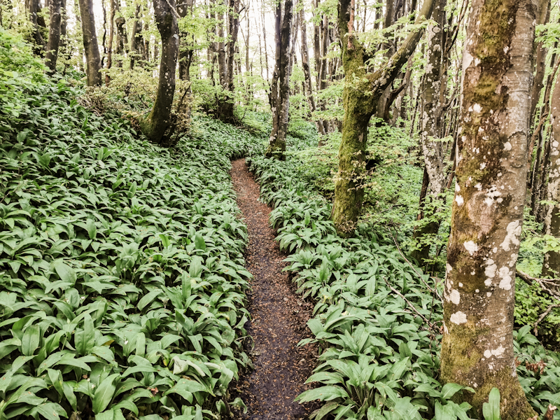
As expected, I leave the bivacco well rested. It's a magnificent start into day, as I follow a beautiful track through Beech forest, wild garlic on both sides and great vistas every now and then. Soon enough though, the track gets steeper and overgrown. Hiking gets tiring. After Bocca Trabaria, the track eventually completely disappears in the forest. I check the map, GPS. Should I return to Bocca Trabaria and find another route or should I just push on, bush bashing. I decide for the latter, which in hindsight turns out to be one of the worst decisions taken on any of my hiking trips. Long story short, I end up in steep slope and dense bush, legs bloody, shorts torn. I make it out obviously, otherwise I wouldn't be writing this blog, but the experience broght me close to my limits. Especially mentally. Being completely lost or stuck in the bush. The ticks didn't help.
Anyway, after being back on terra firma, I completely undress, check for ticks and need a couple of minutes to wind down.
From there it's mostly forestry roads and farm tracks all the way. Muddy at first, firm and rocky later. The hike actually turns out rather nice.
Best experience however, and a well needed motivation booster, was in at Bocca Serriola, where I an old man, sitting in front of Bar La Cima, approaches me with some beans. Despite not speaking the same language, we somehow manage to understand each other. As I am running out of water (water supply h really is challenging, with no water source for nearly 80km) I asked him if I could refill my 3 bottles. He leads me into the bar, fills them up and even hands me out a 4th 1.5l bottle. Very kind!
While having a coffee and ice cream, I have a lovely chat with the (I guess) owner's son attending the bar. Well rested, I continue my hike. The terrain is changing. Drier, less dense forrest. A welcome change. Since my feet start hurting and I shortly after a nice camp spot, I decide to call it a hiking day. An intense day. Which tought me a lesson. When in doubt, better retreat your steps. I know, easier said than done. But the next time I will be in such a situation, I will certainly remember this day.
Day 187: Coffee And Cake For Motivation
Passo Serra to Bivacco Paolo Massi
Distance: 35km
Rain, thunder, rain... It was pouring down well into the night. While my tent kept me from getting soaked, all the water still left my stuff damp. Once the rain stopped, I got woken up by a "sniff, sniff, sniff" sound. Sounded like a cow eating grass. I'm quite sure it wasn't a cow. Probably a wild boar. Maybe a bear... I will never know. After a "shhhh" from my side, the animal ran away into the night.
After this eventful but not very restful night, I hit the trail shortly before six. The trail is a mess, as I make my way down towards Verghereto. Fallen trees, mud, slippery clay. Rough. Not exactly what I like to start my day with. 2 hours and 5 kilometers later, I finally reach the bottom. From then onwards it's a mix of road and (more pleasant) tracks. I pass several villages, some busy, some completely deserted.
After the rough start, I'm not able to fully recover for most of the day. I feel stiff, powerless. Still, I keep on going. Fredy, with whom I exchange a voice message, suggest me to stop for a coffee. While I initially dismiss the idea, I quickly change my mind as I pass by an inviting looking Café on Passo di Viamaggio.
While enjoying an espresso and a piece of cake, I check for places to stay for the night. Google maps shows a bivacco not to far away and right along E1. Perfect!
Well rested and motivated, I tackle the last 500 vertical meters climb to Monte dei Frati. After an initially quite rough and super steep part, the track through Beech forest becomes a pleasure to walk, I'm flying toward the top.
Like yesterday evening, the sky looks grim again, smell of rain is in the air. Therefore, I'm delighted, when I spot the cute, little hut. 2 beds, a table. My favorite kind of hut.
It's just before 1800. An early finish. Plenty of time to make myself comfortable and enjoy the hut.


Day 186: Ticks And Thunder
Fiera dei Poggi to Passo Serra
Distance: 40km
Right after finishing writing yesterday's blog and putting my phone away, I fell asleep. A deep, well needed sleep. A bear could have eaten my food supply and I wouldn't have noticed it.
Well rested, I pack my stuff and hit the trail just after 06:00. Weather wise another picture perfect hiking day. Also the tracks I walk on are an improvement compared to yesterday.
I spend the day mainly walking through beech forest. Yet, sometimes I can catch some nice views of the scenery around. To my surprise, I bump into several other hikers, who apparently also make use of the lovely weather.
Progress is good. While checking for ticks regularly slows me down, bending down to check is also a good stretching exercise. Well, at least I try to think that way. Stay positive...
For this stage, I don't really have a plan where to spend the night. Once past Badia Prataglia I start looking for suitable camp spots. A challenge! I keep on walking for more than 10 kilometers until I find something more or less suitable. Basically on the trail. Doesn't matter. There won't be anyone passing through. Just after I finish pitching my tent, it's starts dripping, then pouring. A massive thunderstorm out of nowhere. Good timing! Unfortunately, no time for cooking dinner.
The thunderstorm cell seems stationary right above me. Lightning and thunder keep making me flinch while writing this blog. Not exactly pleasant but not much I can do. It will pass. Eventually.
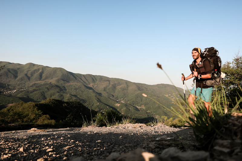
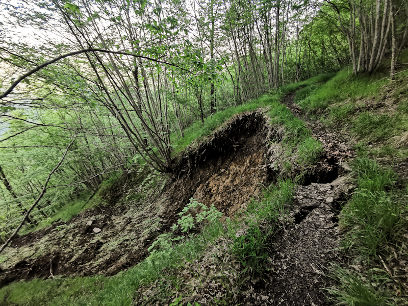
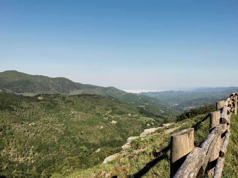
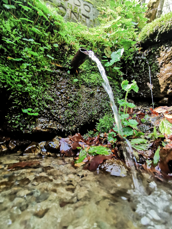
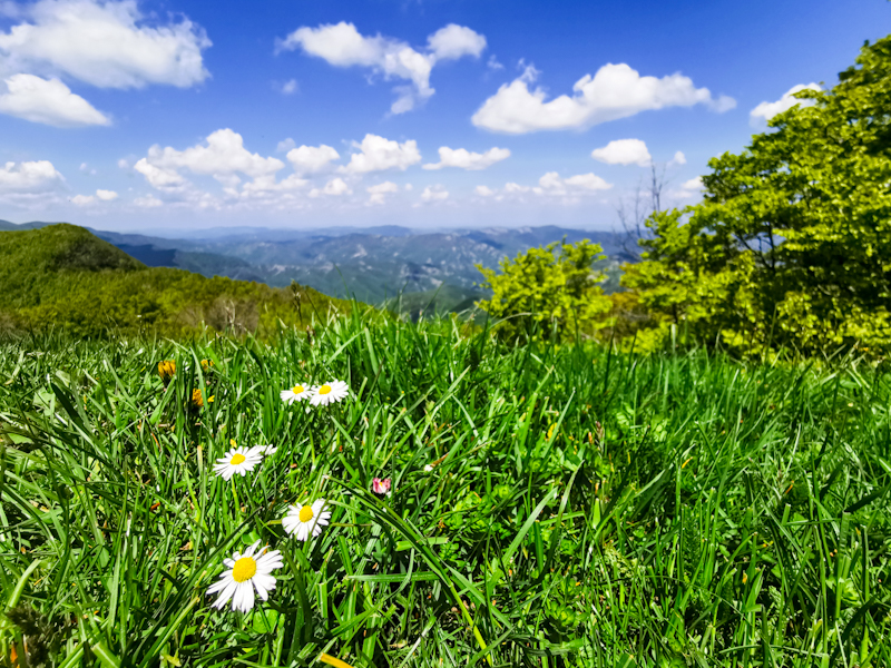
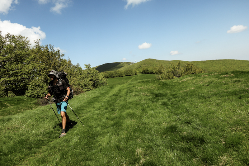
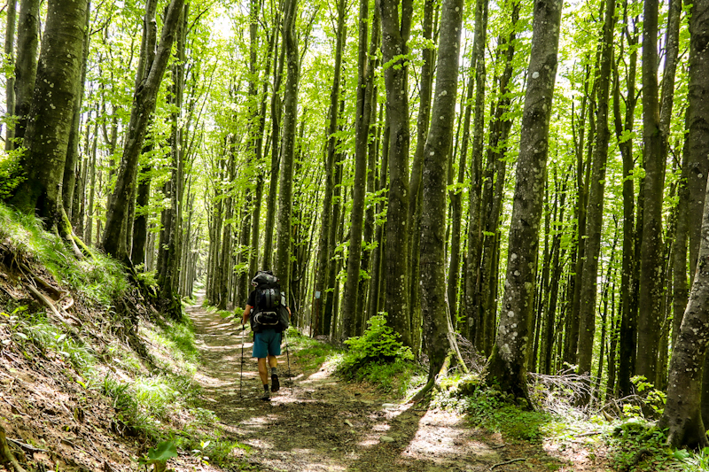
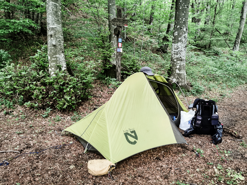
Day 185: Here We Go Again
Passo del Giogo to Fiera dei Poggi
Distance: 30km
40 hours without sleep. I'm so, so ready for bed, or sleeping bag I should rather write. Hence, I will keep it short.
The bus ride to Florence has less delay than expected. After an uneventful ride, I get off the bus only 15 minutes late. With the tram ticket already on my phone, I can hope right into it. Destination: Florence central train station. There, I board a train to Sieve San Piero. Again a 10 minutes delay. My 10 minutes connection to my bus to Passo del Giogo is basically gone. Luckily, this bus is also delayed by a couple of minutes, so I barely make it.
Just before 0900, I'm back on the pass. Already exhausted from all these delays. In hindsight, it might have been a bit less stressful if I arrived a day earlier.
The pass with its ristorante is still looking deserted. Good for me, as I can use one of the tables to quickly repack.
Then I'm back on the trail! After exactly 8 months. It's perfect hiking weather. Sunny, around 20 degrees Celsius, a light breeze.
The trail: well it continues as it ended last year. Plenty of forest, overgrown in parts but generally easy to walk. This time though it's a lot wetter, muddier. And then the ticks. While I was lucky enough not to encounter any last year, today, well, I wasn't so lucky and got my fair share of ticks. A bummer, really, as they somewhat ruined an other wise quite nice day.
9 hours of walking. 30 kilometers. My body feels ready, fit. My mind... Not just yet. My thoughts kept wandering around aimlessly. Anyway, I'm too tired to go into detail. I rather catch up on some sleep. Getting my priorities straight. The camp spot I picked is nothing fancy. Nicely sheltered inside a picnic area,hopefully allowing for some good, well needed sleep.
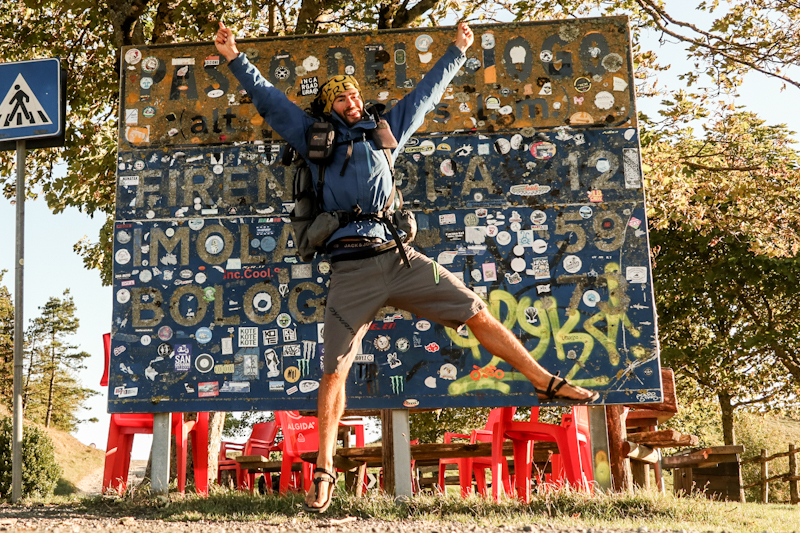
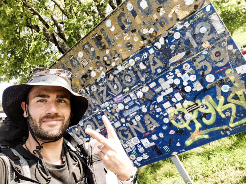
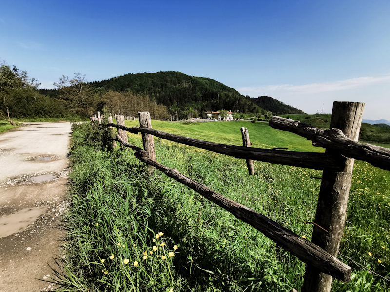
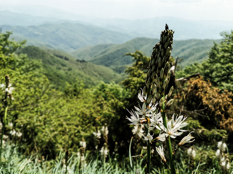
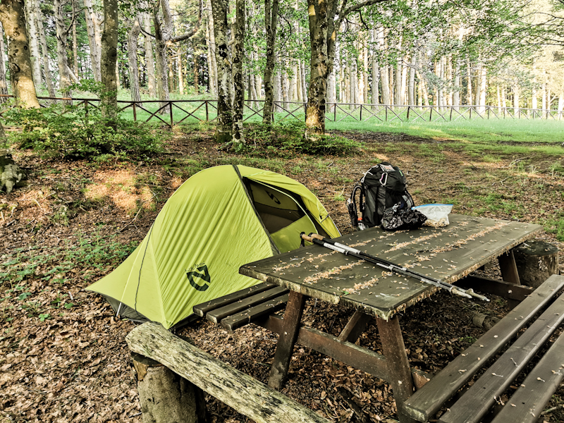
Here We Go Again
8 hours until I will board a local train to Zurich. I just came out of the shower. Probably the last one for at least 10 days. As always before embarking on a new adventure, a certain tension becomes noticeable. The psychological and physiological challenge, the unknown,... It's always the same,uncomfortable feeling. I don't think I will ever get used to it.
In Zurich, I will catch a Flixbus to Florence and then 2 other overland busses to Passo del Giogo. If everything goes according to plan, I should be back on the trail tomorrow Monday before lunch time.
If... I'm not very confident I'll be making it there on time. Maybe I should give the Italian public transport system a bit more credit. But I am realistic.
Despite reading through trail notes and checking maps, I honestly still don't know what exactly to expect. How well marked and maintained will the tracks be? Do they even exist? What about animals, like wild dogs, bears, ticks, water sources? The snow situation in the Abruzzo mountains? Many open questions... Also in regards of the recent floodings just northeast of where I will be walking.
Luckily, I was able to gather some hiking experience in the Appenine last autumn. Still, as I make my way down south, still following the Appenine (sometimes along E1, sometimes along Sentiero Italia), I'm quite certain that the characteristics of the hike will keep changing.
For this stage, I have not set a goal. It's a rather quick stage though as I have to be back at work early July. That leaves me a bit more than a month to walk. 30 kilometers a day seem realistic. Add 2 maybe 3 zero days and you'll end up with 1000 kilometers. Just a rough estimate. The many unknowns... It would take be down somewhere slightly northeast abeam Naples and leave me with another 1000-1500 kilometers to Sicily. But that's the future. Thinking too much about it doesn't really help my tension.
For now, I'll enjoy the sunny and mild Sunday afternoon as good as I can, maybe watching a movie, and then eventually hit the road to Italy later tonight.
Day 184: Tutto Posto
Croce di Geppe to Passo del Giogo
Distance: 35km
A freezing cold night. But after eating a lot of food yesterday and wearing everything I have, I wasn't feeling especially cold. In fact I had such a wonderfully deep sleep. A rare thing when camping.
Getting out of my sleeping bag and especially packing the dripping wet tent is a different story. Highly unpleasant as my fingers are getting numb. Anyway, eventually I am on my way. Similar to yesterday, trail wise. But unlike yesterday, I feel highly motivated. At least mentally. Physically, well not so much. My body needs some rest.
My last day on E1 this year. From the German-Danish border well into Italy. While walking, memories keep crossing my mind. Many wonderful places, encouters. It has not always been a walk in the park though. Especially during the last part across Northern Italy, I was struggling finding my motivation at times.
Time flies and after 10 final, surprisingly demanding kilometers, I reach Passo del Giogo - the end. For now at least. How do I feel you might wonder? Emotionless, really. I guess I am just tired, the sun already low on the horizon. The emotions probably will follow later. As it's getting cold, I quickly continue for another kilometer up Monte Altuzzo, where I am planning to camp - and it is a lovely site to camp. A flat, grassy top and fantastic views. A worthy place for my last night.
As I watch the sun slowly disappearing while eating my porridge with an extra serving of chocolate (somehow I have to celebrate, don't I?), the nice feeling of satisfaction overcomes me. Tutto posto - all good!
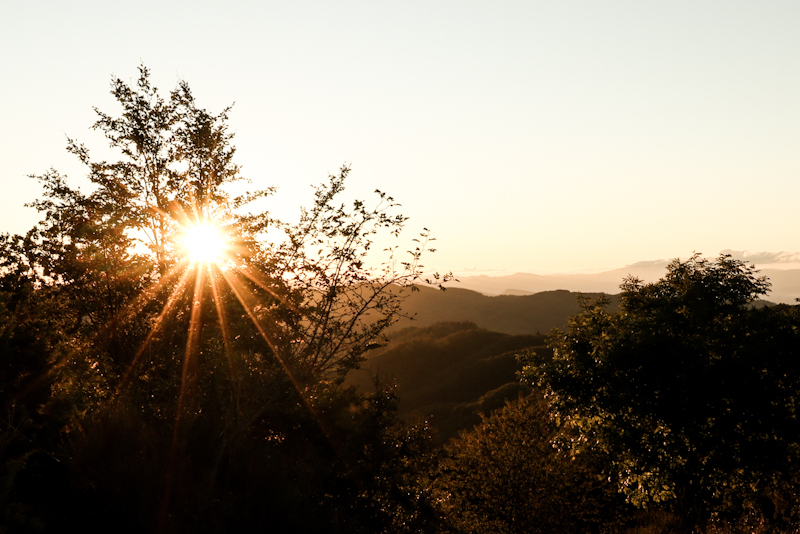
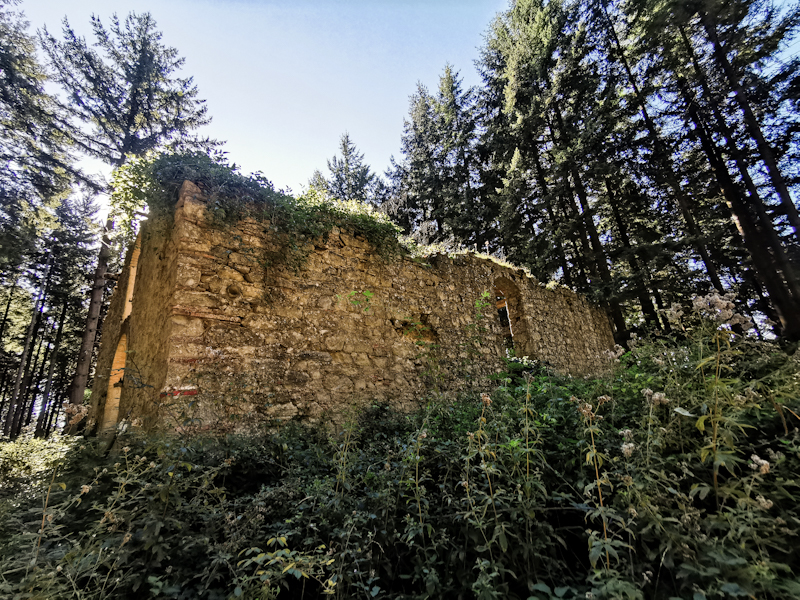
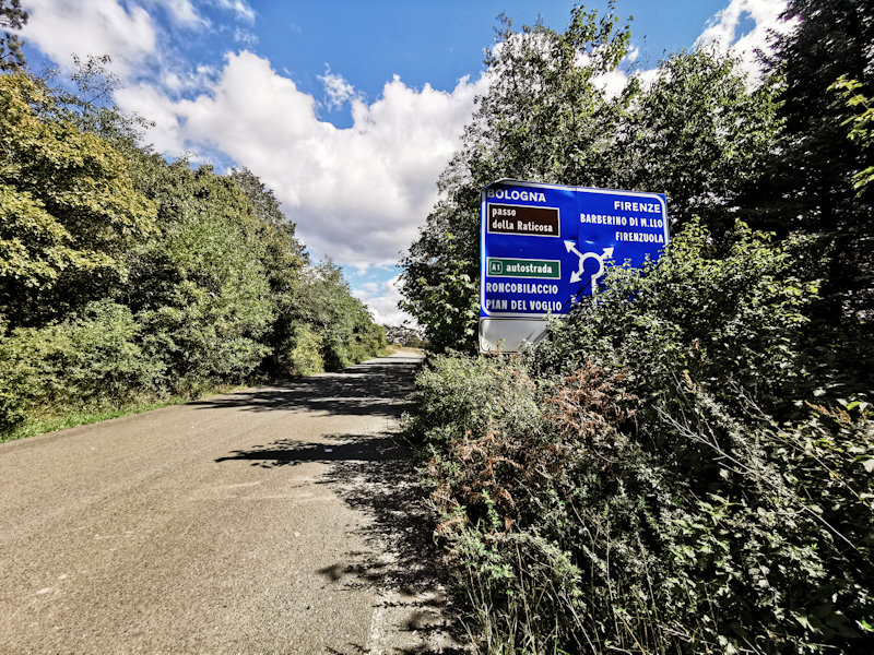
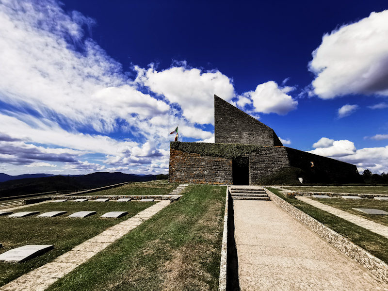
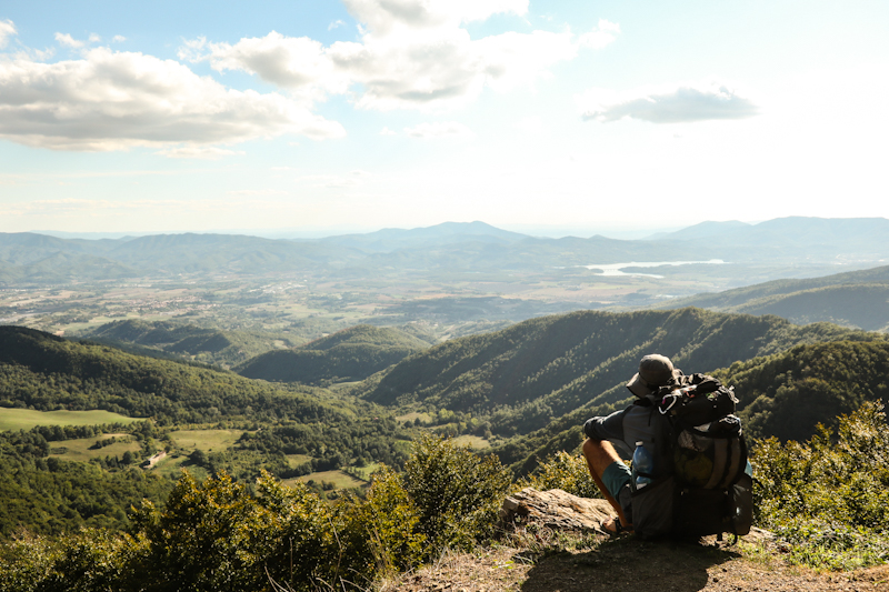
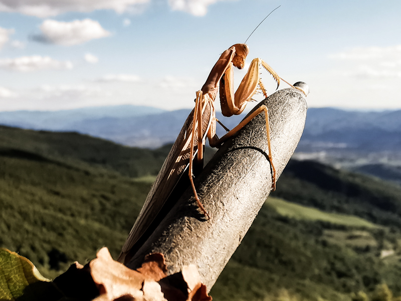
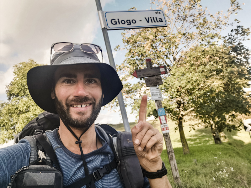
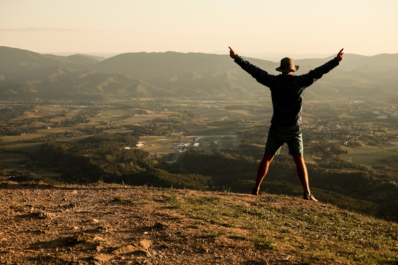
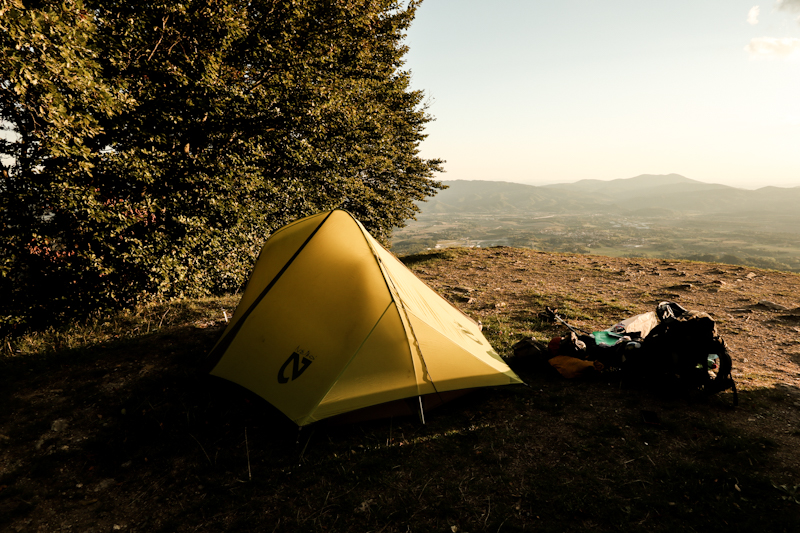
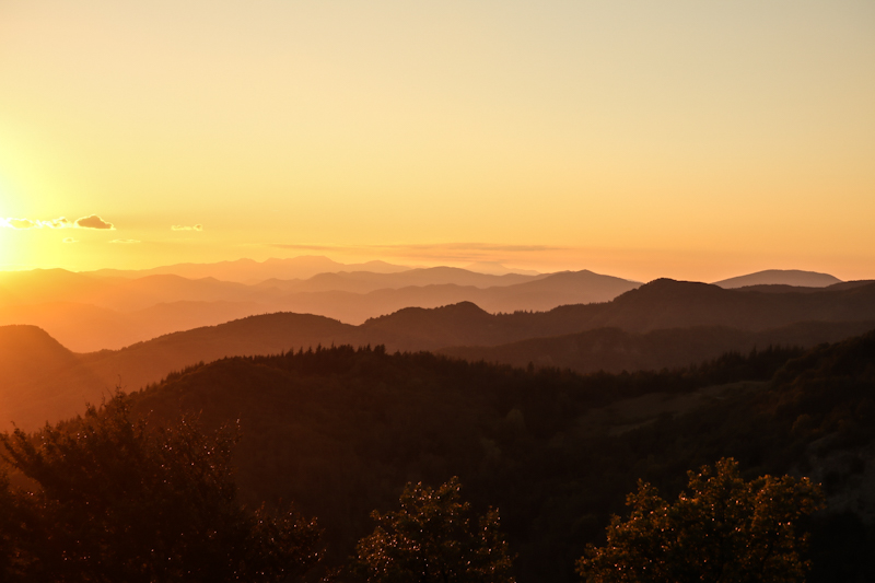
Day 183: Ready To Call It A Thru-hiking Year
Pracchia to Croce di Geppe
Distance: 35km
A single stag kept roaring throughout the night. Yet, overall I got quite a descent sleep.
There's really not much to write about the trail today. Plenty of 4WD and ATV tracks in the first half of the day, proper hiking trails with more Ups and downs than in the morning. Most of the hike is in the forest. Only the last bit leading over a rocky slope, offers some decent views. It's also where I pitch my tent. In fact, I even go a bit off track until I find something that pleases me.
After the last couple of days, which have been a bit like fireworks, today, in contrast, has been a pretty down-to-earth day. Also my body feels like a deflated balloon. No energy left. I felt it especially during the climbs. It was hard work.
So it fits nicely that, two weeks ago, I made the decision that tomorrow Thursday (maybe Friday if I am too slow) should be my last day on the trail this year. 183 days so far on E1 all together. Hald a year. However, there are other things in life than hiking. In fact I will meet up with a friend in Firenze and do a bit of sightseeing and other stuff that I
missed out on the trail. Like eating my first Gelato in Italy. I know, unbelievable. Isn't it.
But let's not get carried away. Tomorrow's another day. And it's a tough one.
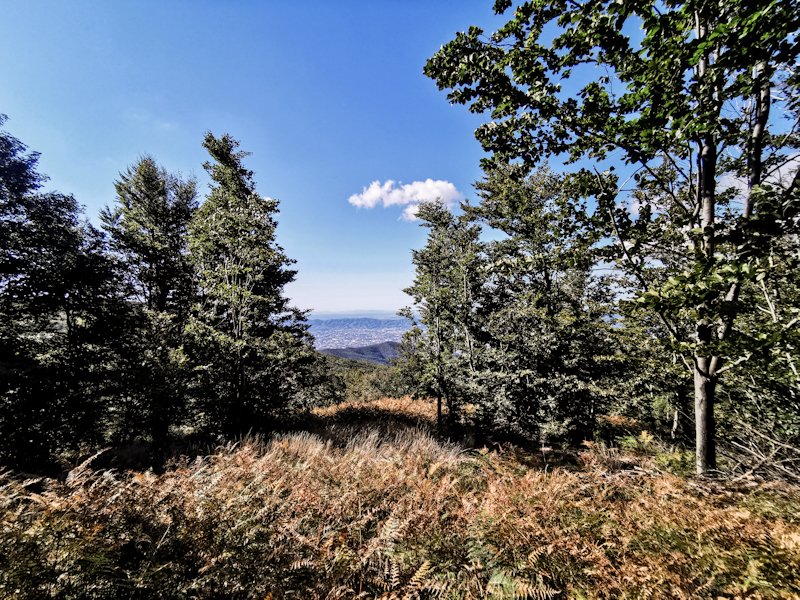
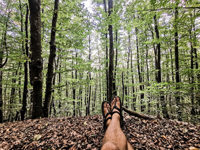
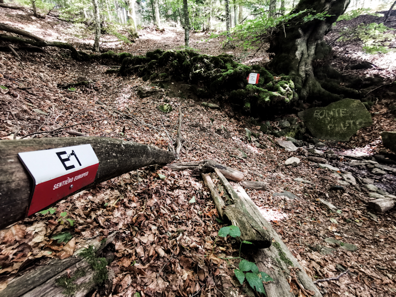
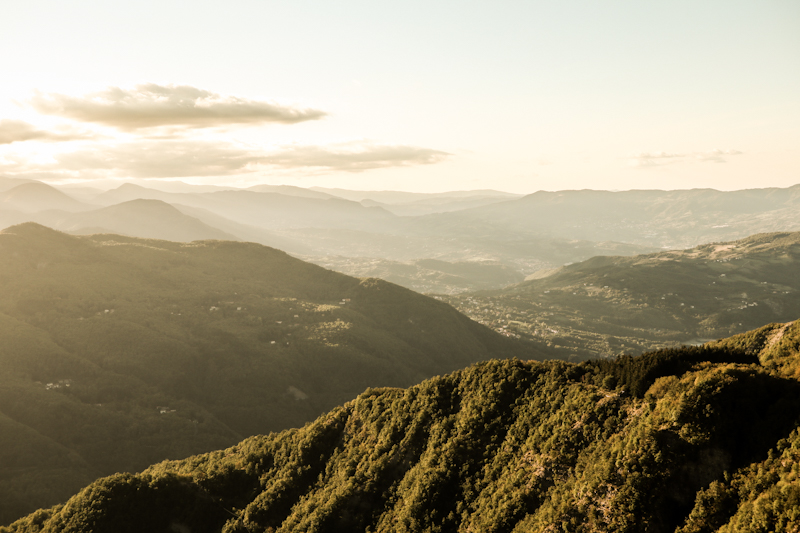
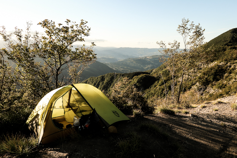
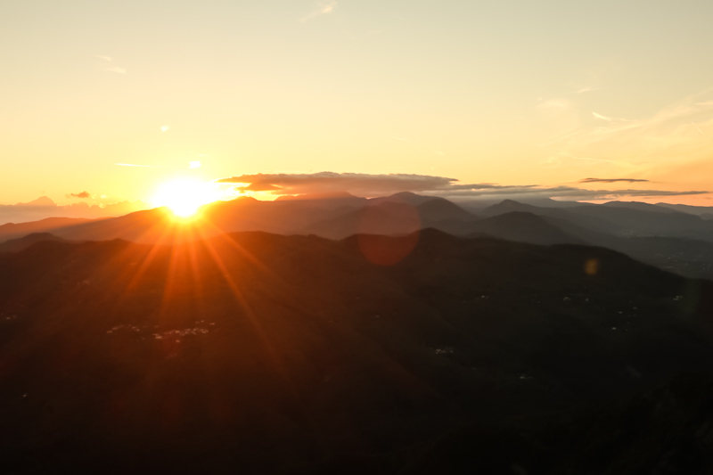
Day 182: Libro Aperto - The Open Book
Picnic Area Abetone to Pracchia
Distance: 25km
Despite being rather anxious about today's demanding hike, my sleep was deep and long. No wind, not cold, dry and a flat surface. Perfect condition for a good night's sleep.
Libro Aperto - the name of the first of many mountains I will climb today. It is a steep, long climb. But so early in the morning and with well rested legs, the progress is good. Libro Aperto means the "open book". Apparently, because it looks like an open book. Whatever that means. While climbing I try figuring it out. But it seems I am lacking the imagination. All I see are some horses grazing at the very top. They look wild, without any tags or other markings. It's still too early for a break and I want to keep on going anyway, so that's what I am doing. Down on the other side. It's steep, dangerously steep down over a 5 meter vertical drop. I have to go down backwards because of my backpack. I'd consider this the most difficult part of any thru-hike I have done so far. With legs as rubber I continue once I master the challenge. But the direction seems odd, I check the GPS that saves the day and tells me I missed a V-turn on top of Libro Aperto. So that hole climbing stint was for nothing. Stupid. Annoying. At least I can avoid it and skirt below the summit as I head back to the right side of the peak.
Back on track I follow a ridge for three hours. It's a spectacular walk. Some technical demanding parts but I never feel outside of my comfort zone. The views are fantastic and I would consider this stretch as another of E1. Right up there with some of my favorite stretches in Norway and Northern Sweden. And that means something!
And then there's the weather. It's incredible, how lucky I have been with the weather so far. Since starting E1 two years ago, the weather God has been very kind with me. No exception today.
Eventually, I leave the ridge and the trails are getting busier. I meet three lovely ladies from Bologna. Together, we chat and walk for 30 minutes before I start my long descent to Pracchia. As I get closer to the treeline, I start feeling a bit melancholic. After three wonderful days in a surprisingly spectacular, mountainous part of the Apennin (I was extremely surprised by how beautiful these mountains are - and I say this as a Swiss, who is spoiled by the Alps) , the trail takes me into the forest again. Gone are the sweeping views, the lovely mountain trails. Did I enjoy the views enough? Did I make the most out of my time on these mountains? I sit down, soak up the scenery for one last time. I look back at what I have achieved today. And now, finally, I think I recognize Libro Aperto!
As the show must go on, it's then back into the forest. My plan: to camp somewhere before reaching Pracchia. I gamble, ignoring several good spots hoping to find something closer to the village. But there is nothing. I loose. So I continue through the depressing village, feeling exhausted. And there's nothing suitable to camp in sight. Unti the road I am following suddenly stops because of a landslide that must have happened years ago. Luckily there's a narrow path and after the path a flat spot. Directly on the road - thru-hiking style. Perfectly fine to pitch my tent. There's definitely no risk of getting hit by a car.
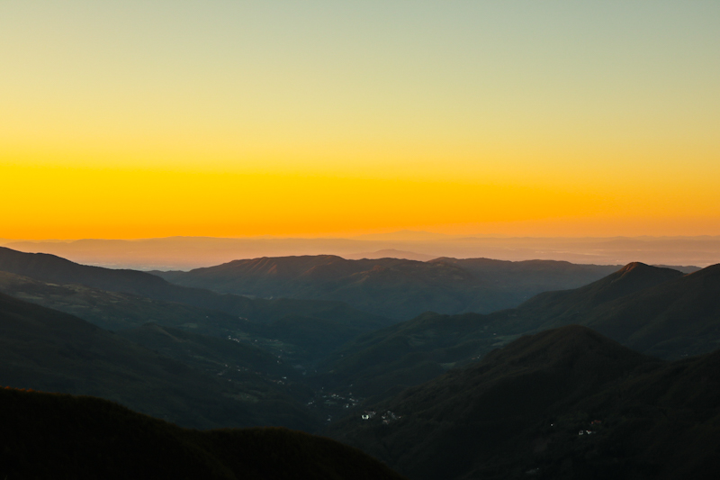
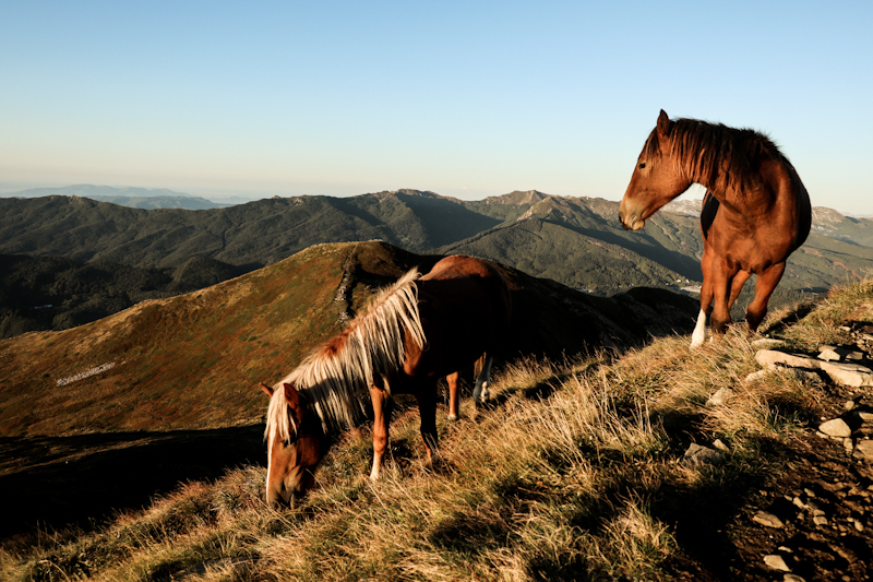
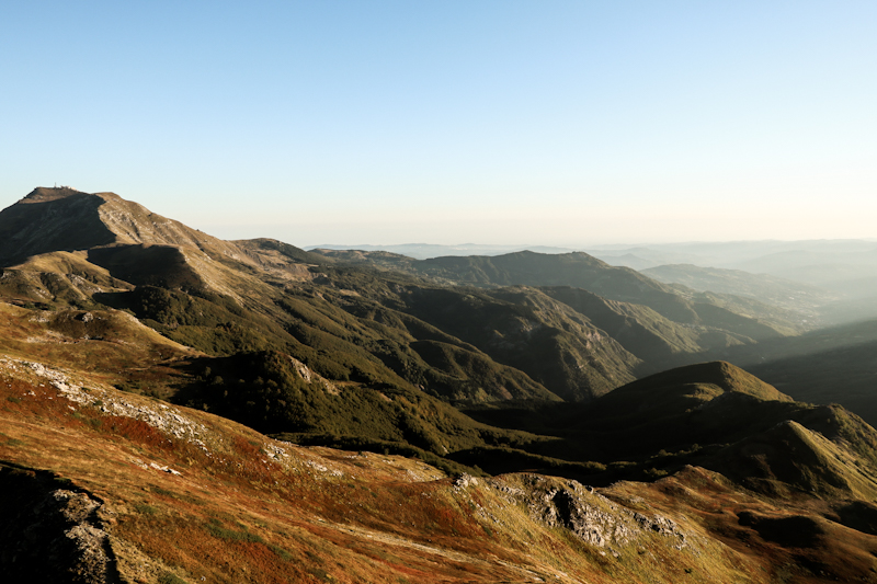
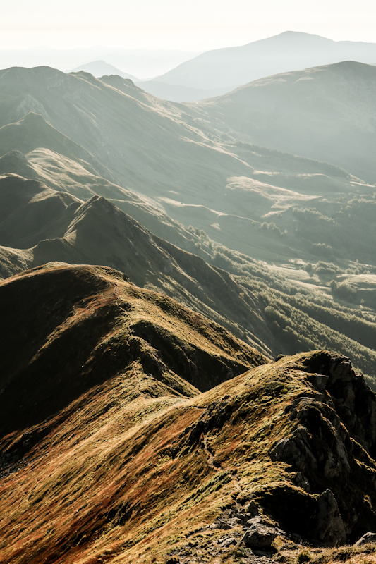
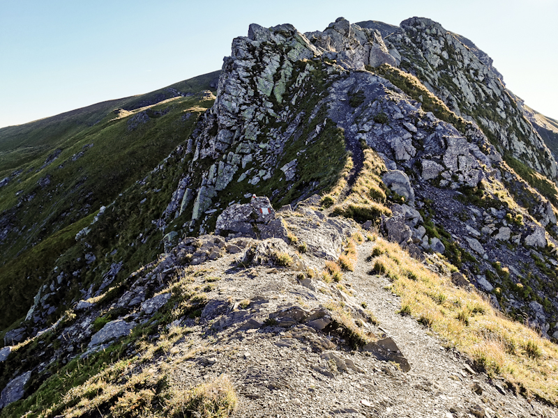
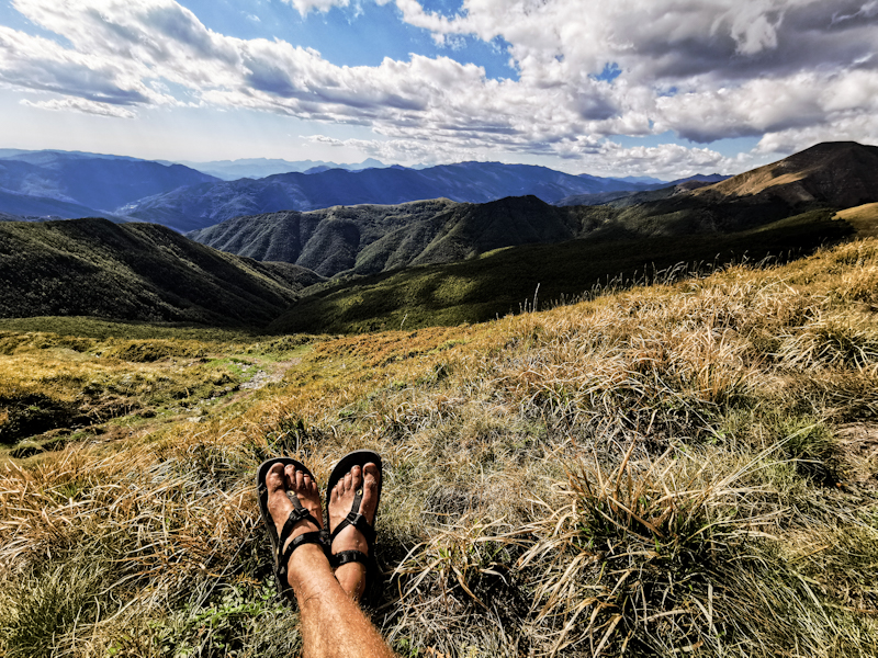
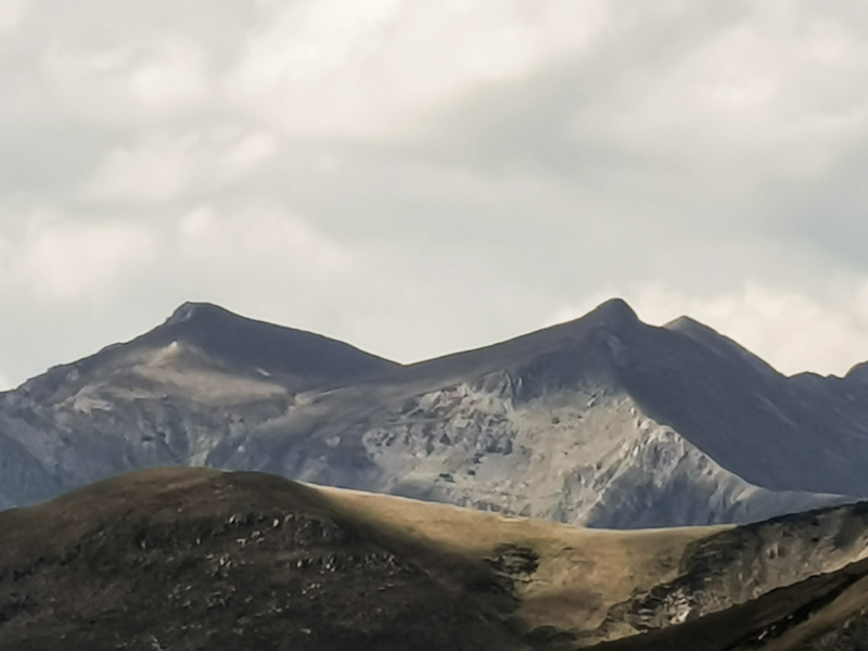
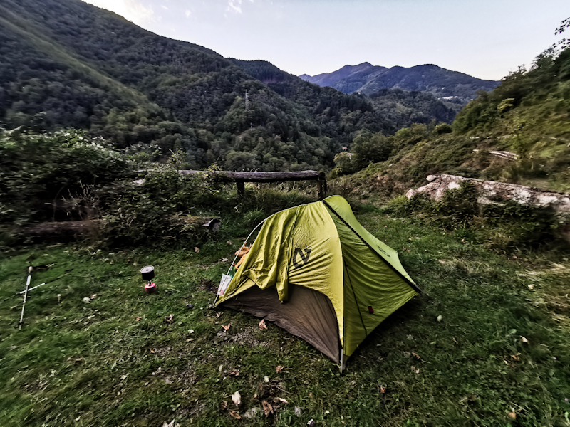
Day 181: Keeping On Going
Bocca di Massa to Picnic Area near Abetone
Distance: 35km
The wind was challenging my tent tonight. Gusty, from all directions. Sleep? Hardly. At least the wind helped against low temperatures.
Yet, I am surprised how well my tent was holding up against the wind. Surprised I am as well that I find myself surrounded by fog when I am struggling to pack my tent in the gusty wind.
The clouds soon lift and lead to some wonderful morning light effects. It's fast progress. Up and down, yes, but generally on better tracks than yesterday and not as steep. There is a bit of an airy, exposed ridge walk but other than that straight forward. However, as the clouds increase, I skip Monte Rondenaio. This allows me to reach Abetone today, do resupply and tackle the last mountainous section this year straight away tomorrow. My legs, especially my knees, feel the many vertical meters of the last couple of days. They are not hurting, yet they are getting tired. Still, I am in a good flow at the moment and I feel like keeping on going. Maybe I should take it slower but it's easier said than done.
After the scenic but windy camp spot yesterday, today's spot is perfectly sheltered, flat and even has a water source. Hopefully, I get some good sleep in order to be fit for the demanding stretch tomorrow.
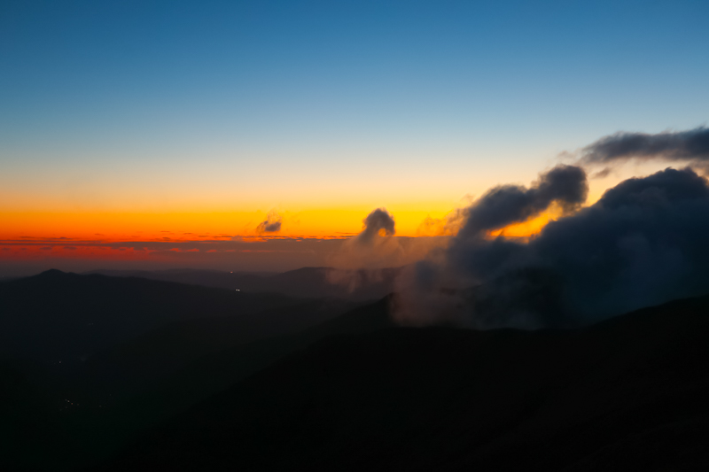
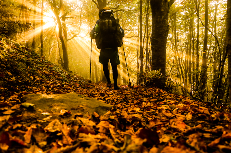
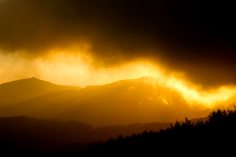
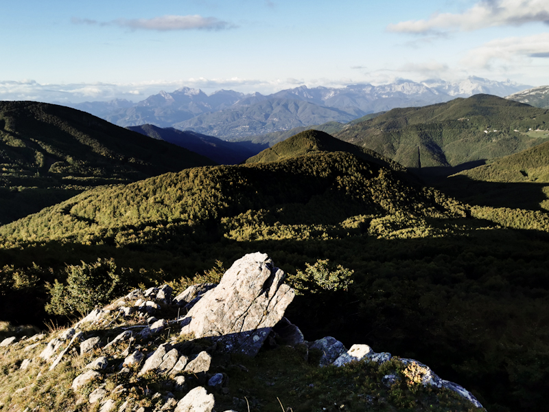
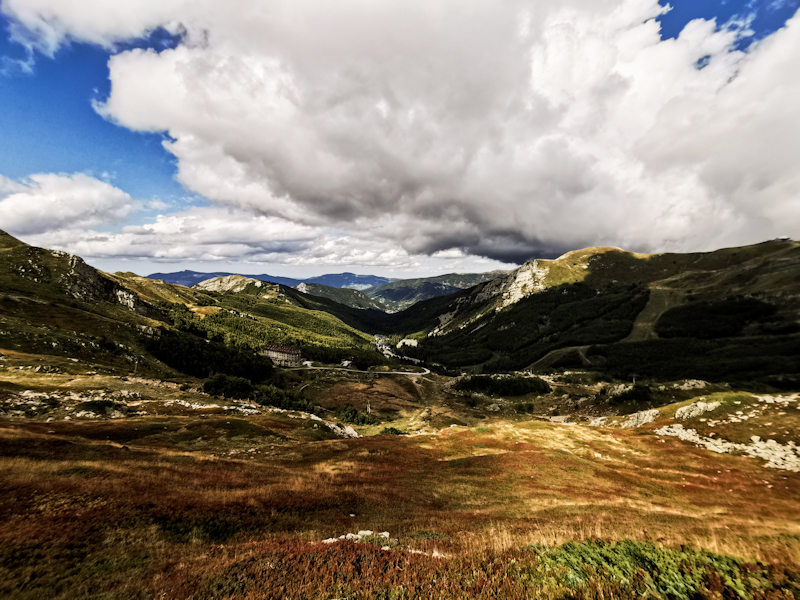
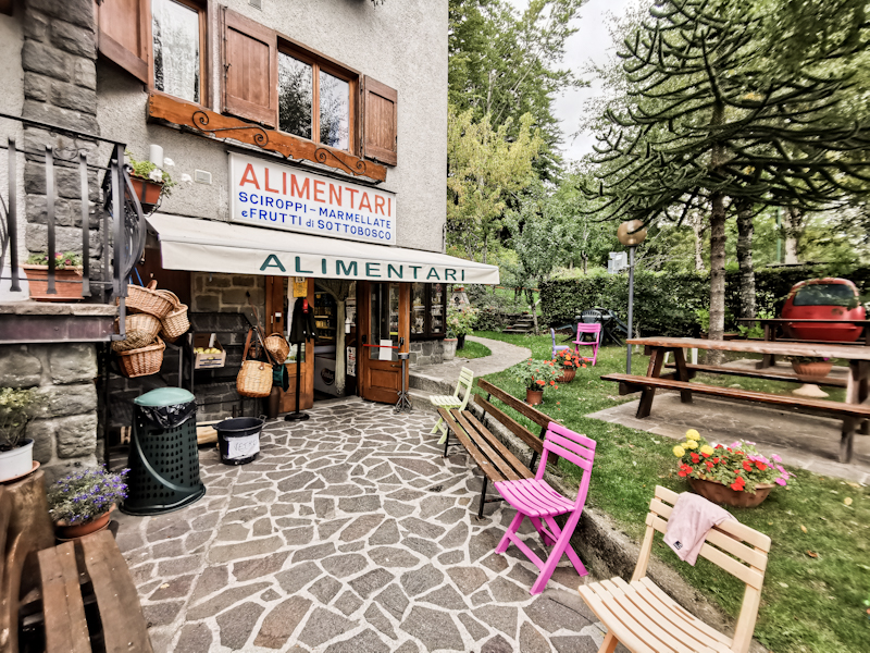
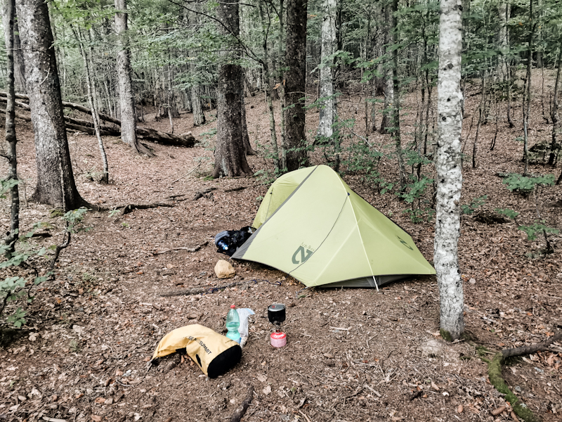
Day 180: Up High
Bivacco I Ghiaccioni to Bocca di Massa
Distance: 25km
Dinner was finally served at 22:30 (it was well worth the wait). After two glasses of red wine and some strong liquor, I finally made myself comfortable on the bench, were I fell asleep rather quickly.
5 hours of walking, less than 10 kilometers covered. The trails this morning rough and steep, the progress painfully slow.
Especially the climb up to Monte Nuda is so steep I have to stop several times. I use the breaks to pick blueberries, which there are millions of.
After Monte Nuda, the trail and scenery changes. For the better. Much smother, faster tracks and the view... Exquisite. It gets better every day. Again, the air is crisp and clear. I can see all the way to Piz Bernina, home, on the other side of Milan. Quite crazy and a bit emotional.
Thanks to the fast track, Monte Prado, with more than 2000 meters the highest mountain so far in Italy, is reached earlier than expected. As the wind picked up again on the climb, I don't spend too much time up there but rather head down, looking for a spot to pitch my tent. Not easy as there's hardly a spot without wind. Eventually though, I find a lovely spot, still in the sun, not too windy and with a great view. I decide to call it a day. My legs are toast. The last two days have been demanding.
I prepare myself for a cold night. Temperatures just above the freezing point are awaiting me. As I only have my thin sleeping bag, I put on most of the clothes I carry with me. Hoping but not expecting they will keep me warm.
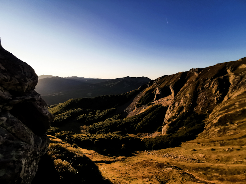
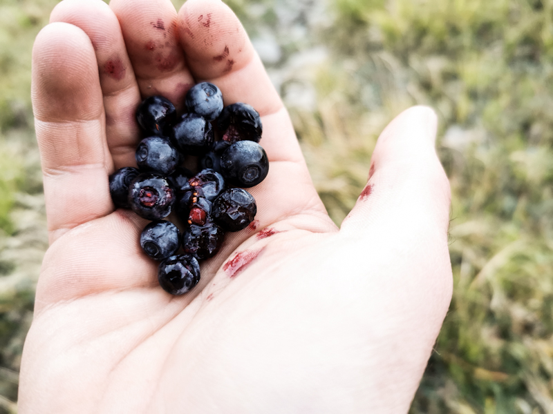
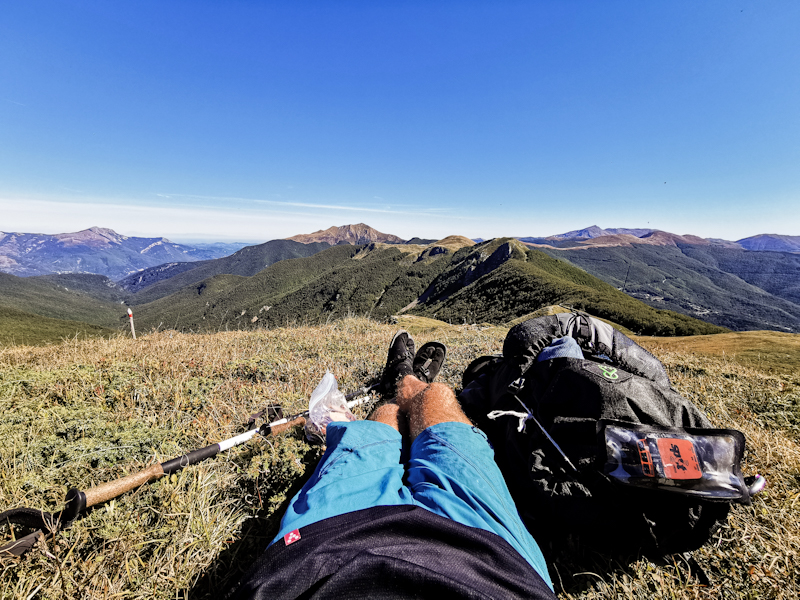
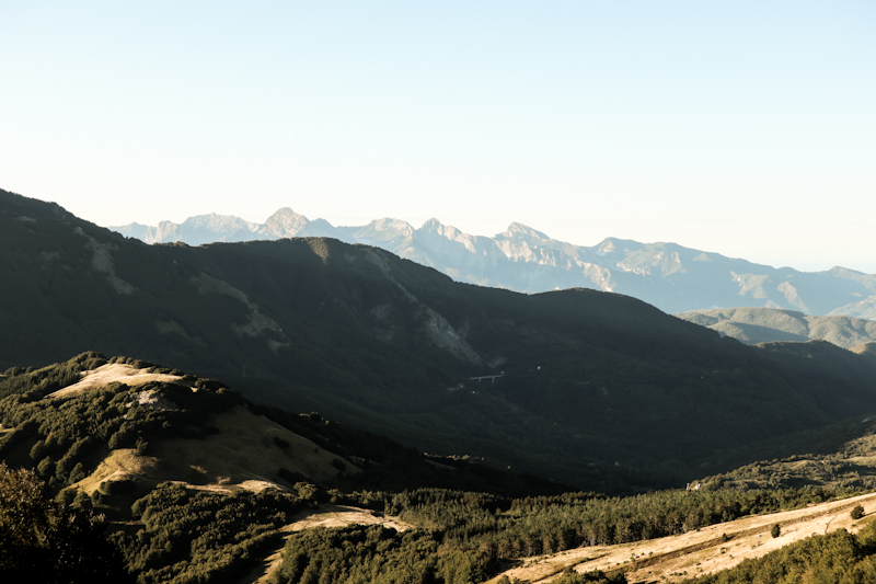
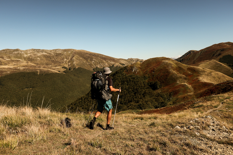
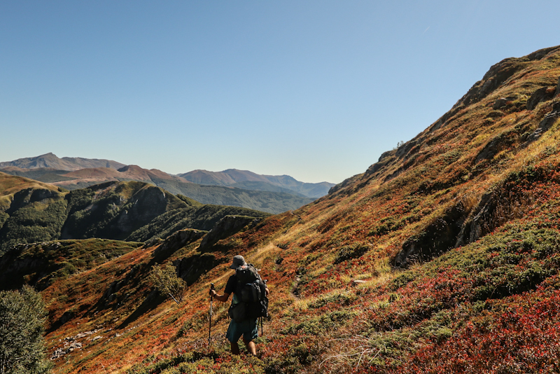
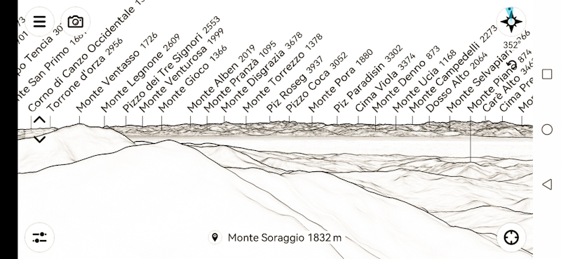
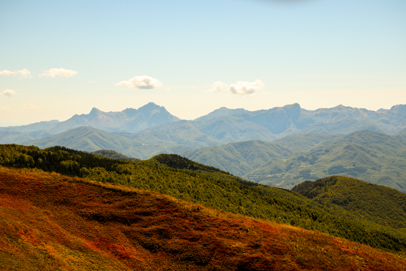
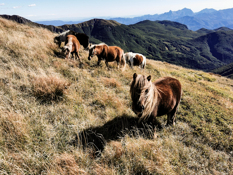
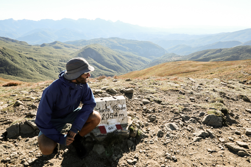
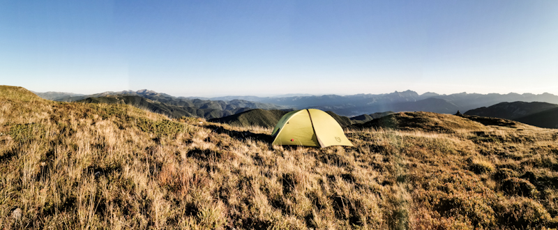
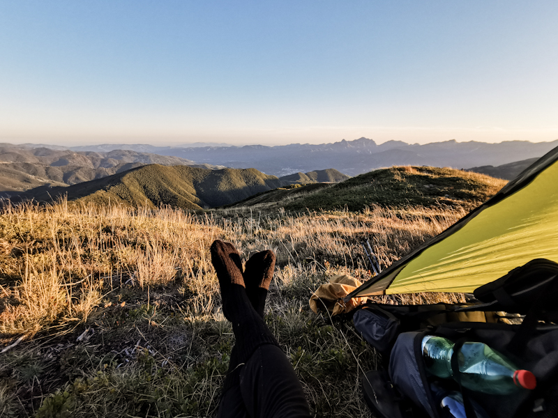
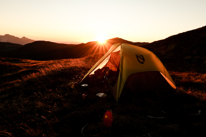
Day 179: What A Ride
Passo della Cisa to Bivacco I Ghiaccioni
Distance: 30km
Same bus, same driver. But he nearly misses me standing there at the stop in the dark. I wave like a maniac and luckily he finally notices me as he is directly abeam.
At 07:00 sharp, he arrives at Passo Della Cisa and wishes me "Buon Camino" - happy trail.
The weather is surprisingly okay. No wind, no rain as I start into my hiking day. It feels good to be back on track.
Soon enough, the weather changes. First from okay to bad with gale force winds then from bad to worse when rain joins the party. As I climb higher, I start getting uncomfortably cold, I push hard on order to stay warm. Yet, slowly but surely I start worrying about hypothermia once I become completely soaked. Oh the misery. Not often have I suffered like this on E1. I say to myself "keep moving and everything will be alright"
At around noon, I approach the ridge, the highlight of the day. However, the wind blows me right back down. It would be plain stupid to continue. So I retreat, follow a shitty but sheltered trail parallel to the ridge. It's where, out of nowhere and only the way it can happen in the mountains, blue sky appears above me. Magical! I take the next link up to the ridge. Still windy as shit but with the sun bearable. With parts of the mountains still covered in clouds, the mood is mystic. Once these remaining clouds evaporate, the views are becoming fantastic and slowly my clothes start drying. The storms must have cleaned the air. Even Corsica's mountains are visible.
Walking the ridge is a big highlight on E1. Despite the wind I thoroughly enjoy this exquisite hike. Demanding but rewarding. Amazing how close misery and happiness can be.
As all good things come to an end, so does the ridge walk. The rest of the day is pretty mediocre on very rough trails. No views, slow progress. My feet tired. More than once I hit roots and rocks. A sign that it's time to finish the hike. After a last crazily steep descent, I reach the hut, that I eyed to spend the night in. After such a day I don't feel like pitching my tent. Being weekend it's full, as expected. But I find a spot on the floor. Good enough.
The fire is going and the four Italian keep on talking about food while they are cooking their dinner (which takes hours. It's now 22:00 and they are still cooking. So Italian). Even though I understand just a fraction it's quite interesting to listen to their conversation. I'm curious how their meal turns out.
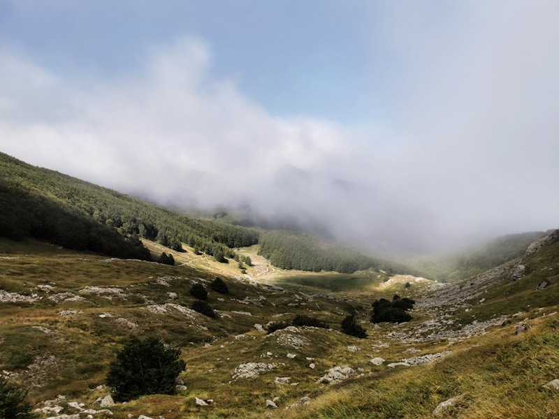
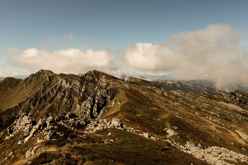
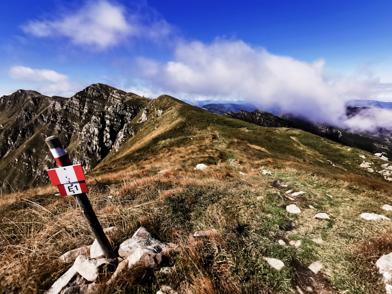
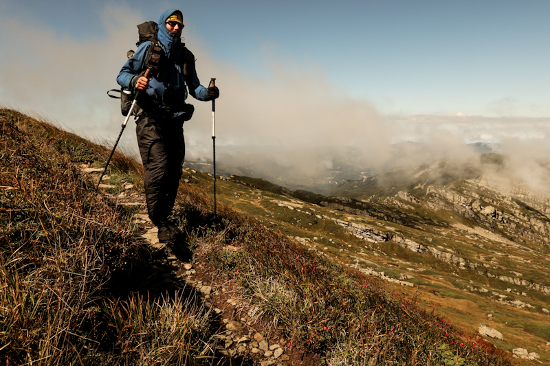
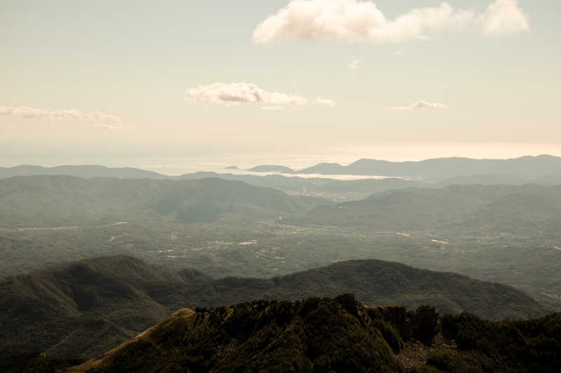
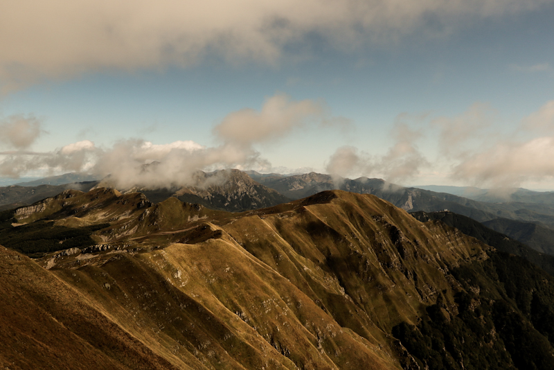
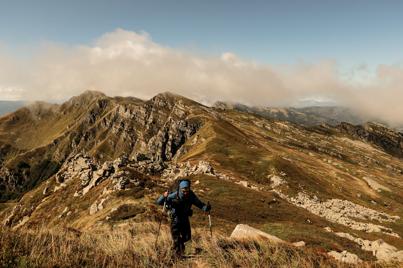
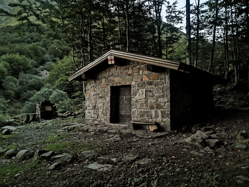
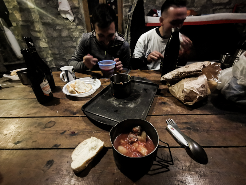

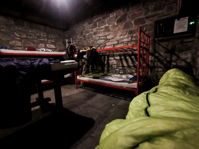
Day 178: Zero Day 2 Pontremoli / Riomaggiore
Second rest day with a side trip to the Cinque Terre region at the Mediterranean. After a good night's sleep, I board a delayed train to La Spezia and on to Riomaggiore. The second train is awfully busy and so is Riomaggiore. It's crawling with tourists but then again, it's a charming little seaside village indeed.
Eventually, I make my way back to Pontremoli. I'm feeling a bit restless. The next stretch on E1 is going to be mountainous, technically challenging as I am heading deeper into the Apennin. Exciting but I also have a lot of respect for this section, especially with the changeable weather that is expecting me.


Day 177: Zero Day 1 Pontremoli
Seven sharp the bus emerges from the mist. Somehow I doubted it would but luckily I was wrong.
I'm the only passenger all the way to Pontremoli, a lovely medieval village.
As it is pouring I head straight for a cafe. Then at 10:00 I am able to check into my airbnb room, which has everything I need. Internet, plenty of power outlets and a bed.
The rest of the day: sightseeing, resupplying and eating. It continues to bucketting down with the occasional thunder in between. I feel relieved not being up in the mountains. Tomorrow, on my second zero day, I'll head to Riomaggiore in Cinque Terre for a day trip before resuming the trail on Saturday.
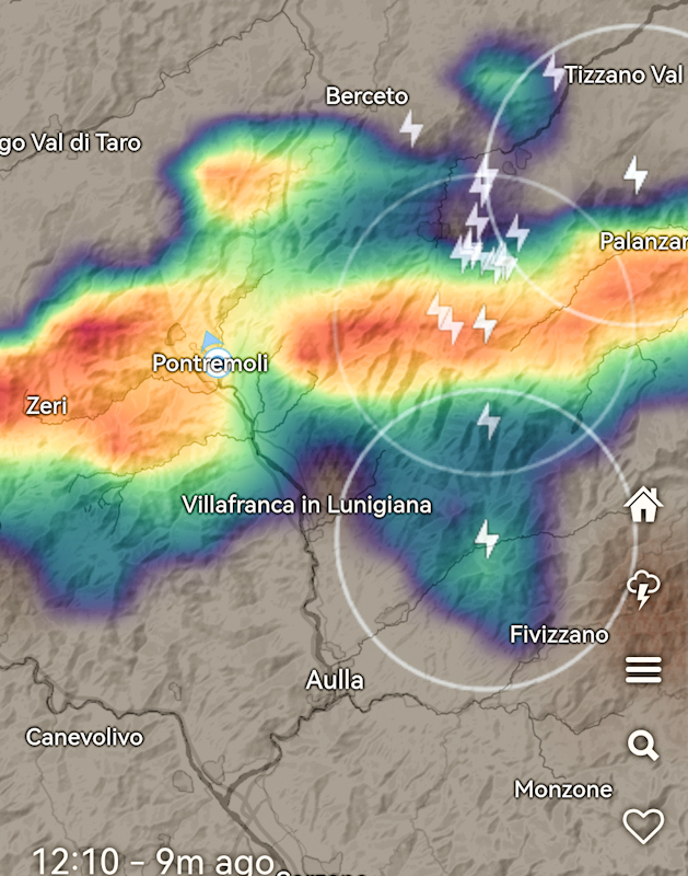
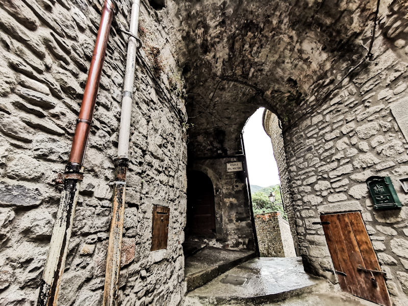
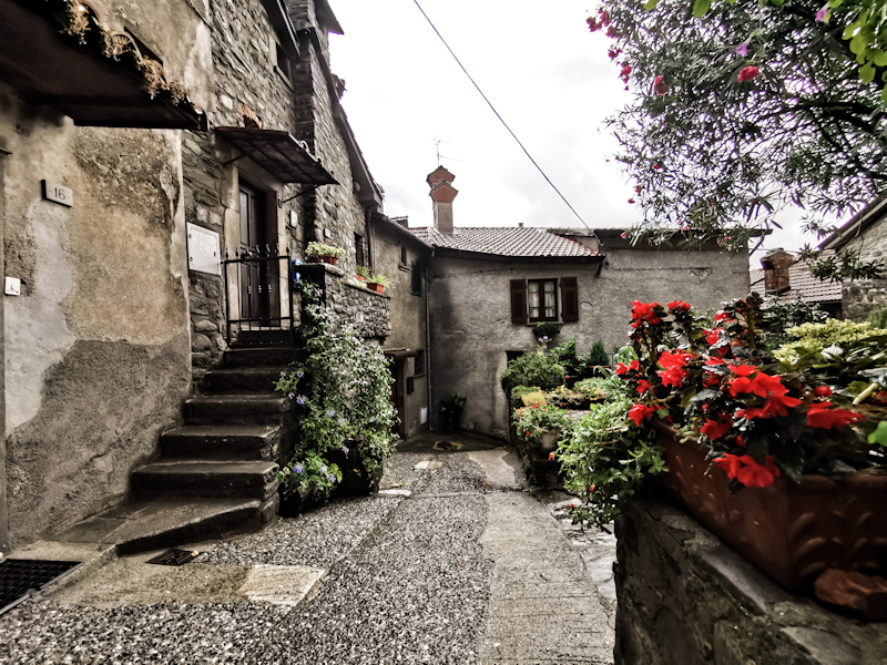
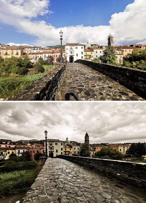
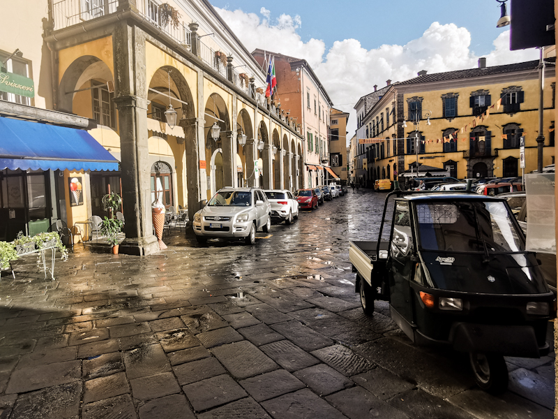
Day 176: Wind Of Change
Passo del Lupo to Passo della Cisa
Distance: 35km
At precisely midnight, wind gusts started hitting my tent and the trees behind. Not that I was worried it might damage my tent but they robbed my precious sleep. Windy nights in a tent is never fun for me.
Anyway, also a sleepless night eventually is over and I set off into a damp, foggy and windy morning. It's the first day since the Black Forest that I have a wet hiking day. Crazy how lucky I have been so far on E1 weather wise!
Inside the beech forest it's dark and my headlamp helps quite a bit. Still, navigating is tricky: the poor visibility makes the markers hard to spot, the leaves on the ground hiding the trail. It takes some effort not to get off track.
Eventually, I pass Zum Zeri, a mini ski field. Even though, it looks like a scene from a horror movie, it's a welcome change. From then on it's mostly along forestry tracks. I don't mind as it needs way less concentration. Still, parts of these tracks are in terrible shape and hard to walk. So not as easy as I initially thought. One short, airy ridge walk, which pops out of the blue, makes a nice exception. Shame there's zero visibility. Then it's back into the forest mostly all the way to Passo della Cisa, the wind staying with me all the way. Especially the last bit is zigzagging without a reason. Tiring, unnecessary after a long day.
As I approach the pass, I look for a place to pitch the tent. Not easy in the wind. Then I spot a little hut with the light on. It says "Capanna Twin" on it. There's a French girl there and I ask her if one can just stay here. Apparently one can, just leave a 20 Euro bill on the table. Electricity, a shower and... Sheltered from the nasty weather. A great deal.
It's only a short 2 minutes walk from the bus stop, where I will catch the bus to Pontremoli for two Zero Days. Firstly, I need to resupply, secondly my legs need a break and thirdly, with the unfavorable weather forecast for the next two days and the scenic stretch up ahead it would be shame to keep on pushing.
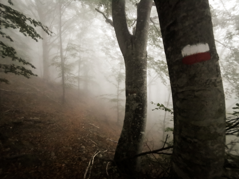
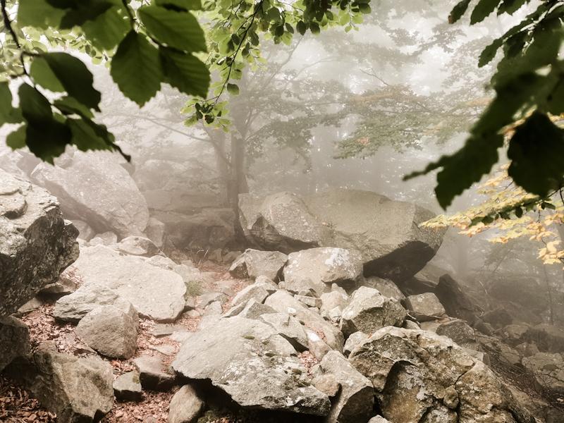
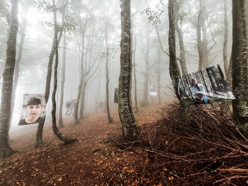
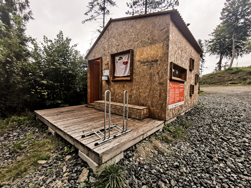
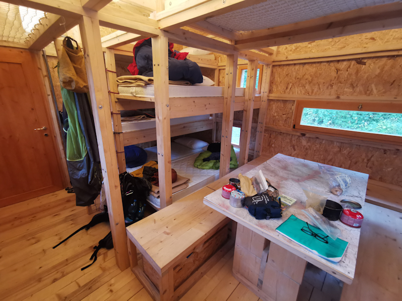
Day 175: Norway? New Zealand? Italy!
Near Passo delle Lame to Passo del Lupo (Monte Bertola)
Distance: 40km
Getting up certainly is not getting any easier. Yet, today I have a good motivation: Monte Aiona. With 1701 meters above sea level highest point in Italy so far. And looking at the map, the area up there seems attractive.
And it sure does not disappoint. After a long stretch of beech forest, I emerge from the forest and step into an open, wild landscape. No paths only markings leading the way across the partly rocky, partly grassy plateau of Monte Aiona. It's an immediate Norway flashback and a reminder why I loved hiking the Scandinavian country so much. I take my sweet time, visiting the northern and southern summit. The latter offering spectacular views of the Mediterranean.
No other soul around, I enjoy every minute up there until I start my way down, where it gets busier. Mushroom picking season has started and from experience (from the Engadin), Italians go crazy when it comes to picking mushroom.
I deviate slightly from E1, cutting two corners and leaving out Monte Zatta, which is starting to be covered in clouds and thus would only end up in disappointment.
The second part of the day is completely different to part one. Open dairy country. A New Zealand flashback! The walk is offering good views, despite the clouds, which took over control of the sky. Flatter terrain, swift progress. Progress, which is appreciated as I want to cover as much distance as possible since the weather turns sour tomorrow and will stay like that until Sunday.
Therefore, I decide to walk to Passo della Cisa, where I should arrive on Thursday morning, take the bus to Pontremoli and take a Zero Day on Friday before returning to the trail on Saturday afternoon. Nothing is booked yet but food and batteries are running out. So there's some action required.
Other than that, well, today as I was hiking across the dairy country, it felt like I finally arrived in my hiking mode. I hope the feeling stays. It took me awhile but good things take time.
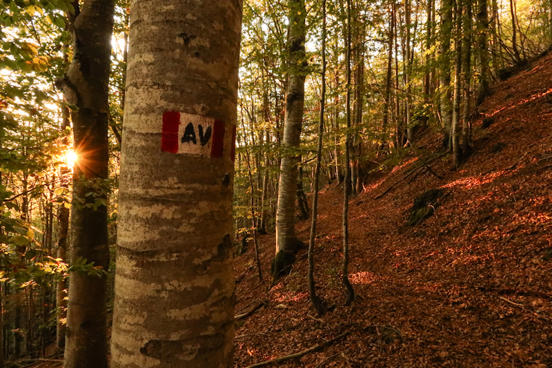
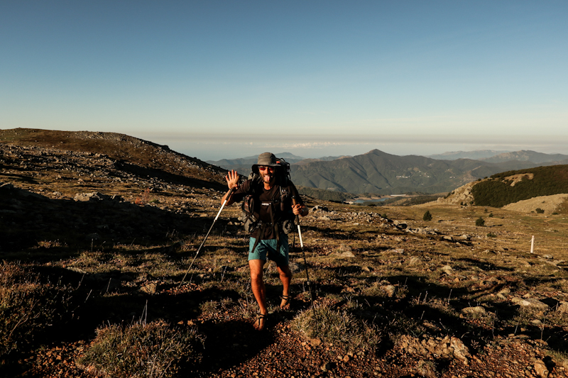
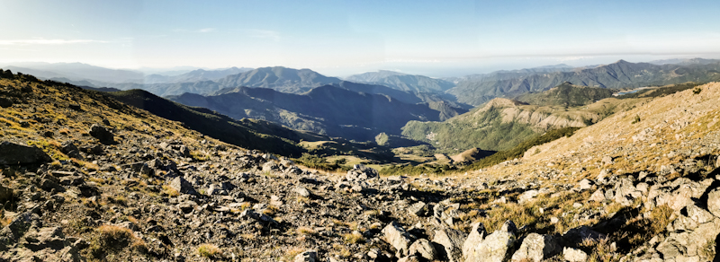
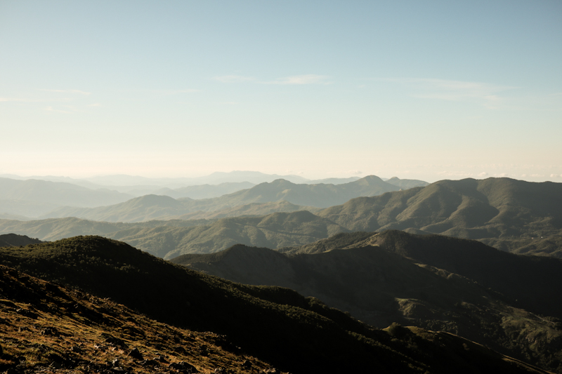
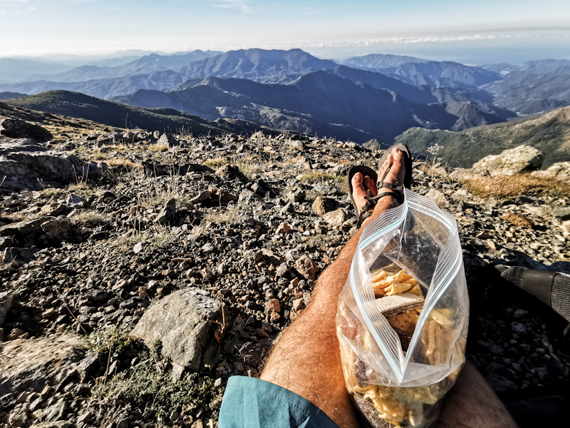
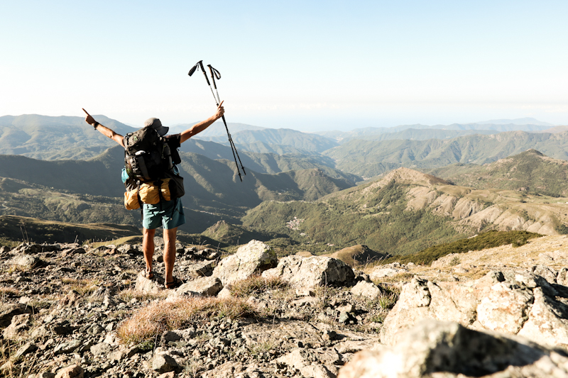
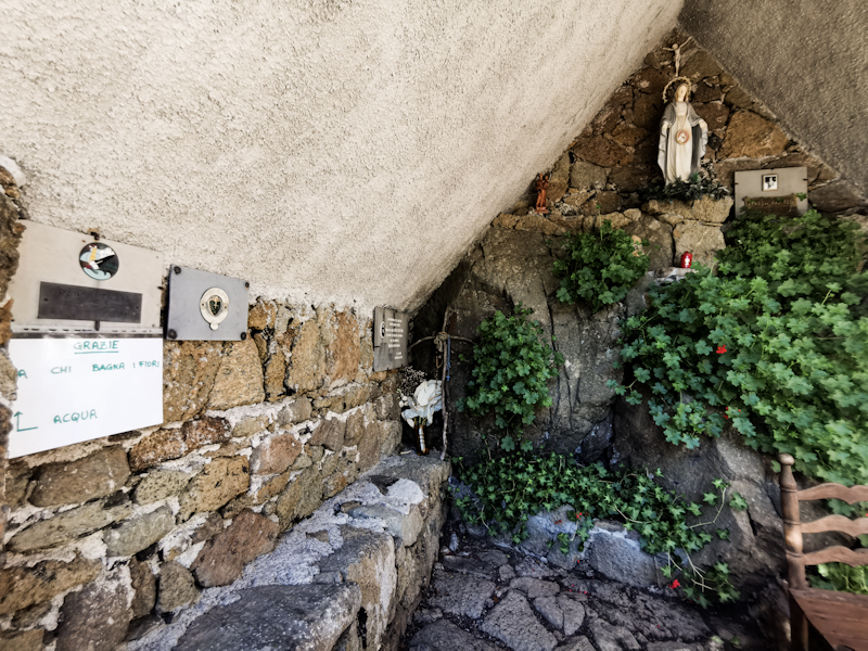
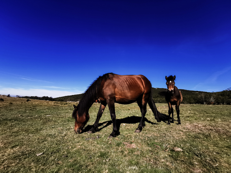
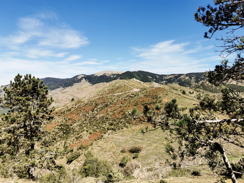
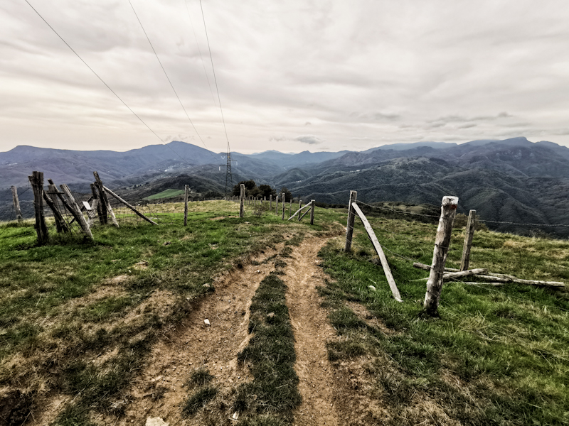
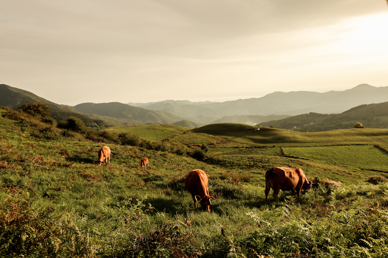
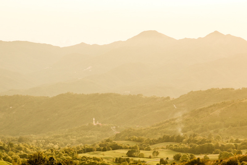
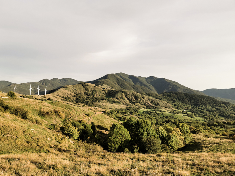
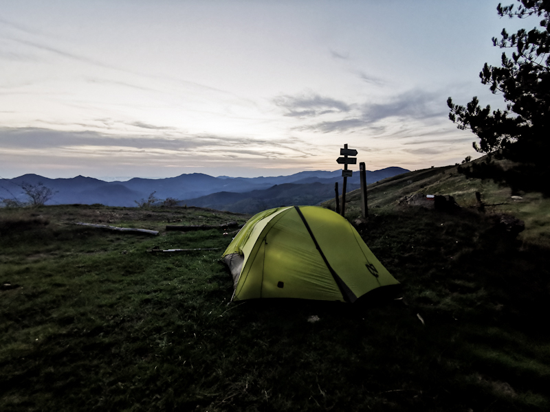
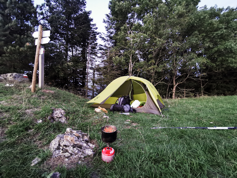
Day 174: Ups And Downs
Monte Lavagnola to near Passo delle Lame
Distance: 35km
I'm lacking the motivation to get up this morning. Rather do stay in my cozy sleeping bag, looking down at the glittering lights of the coastal town Sestri Levante. Eventually, I find the courage to deflate my mattress, which makes it all instantly uncomfortable.
Packing is a breeze and by 06:30 I am on my way. First stop: Barbagelata where Massimiliano told me I would find a fountain. And after a bit of looking around, I find it near the refugio.
After Barbagelata things go wrong. I take a wrong turn. Looking at the map I should be able to follow the road, than taking a hiking trail back to E1.
Well, that hiking trail does not exist anymore. I'm furious, somehow my nerves are a bit tense. Backtracking 3km or continuing along the road, adding another 6km? As I hate backtracking, I go for the latter. Surprisingly, I find another hiking trail connecting Priosa with Ventarola. It's a lovely, fast hiking trail. With 4km extra, I make it back to E1, which then climbs incredibly steep up Monteramaceto. Beautiful views, which certainly boost my motivation. The track then gets rough as it follows the ridge. While the views keep being spectacular, I have to keep my focus on the rocky ground. Progress is slow on the way down too.
Eventually, the trail gets smoother, as I climb to my designated camp spot. It's a huge horse paddock on sloping terrain. Luckily, there's one, just one, flat spot. Perfect to pitch my tent. Prime location with views of what must me the costal town Lavagna.
Emotionally, it was quite a ride and also physically, the trail with it's up and down remains challenging. Yet, the views that keep getting better each day, are well worth the effort.
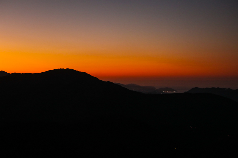
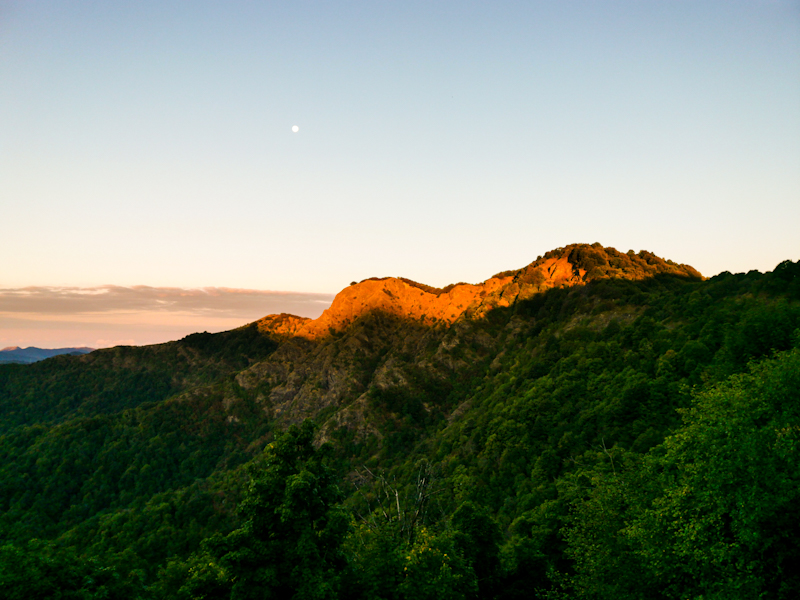
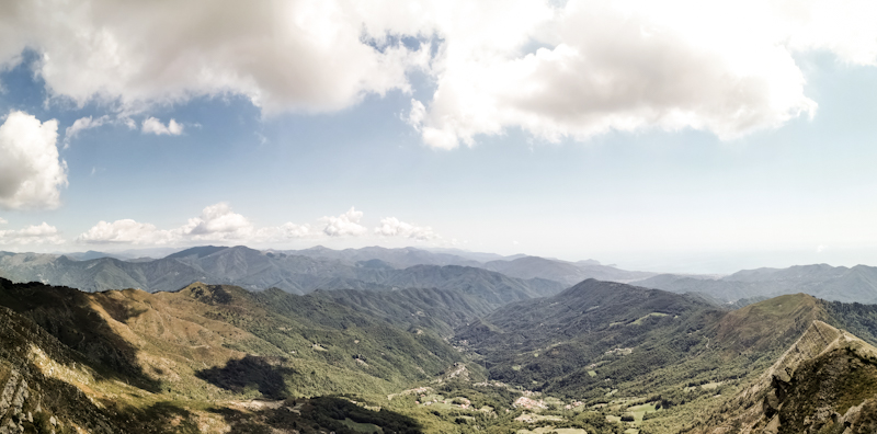
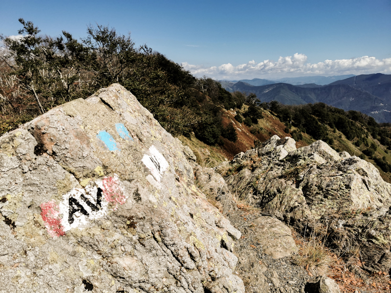
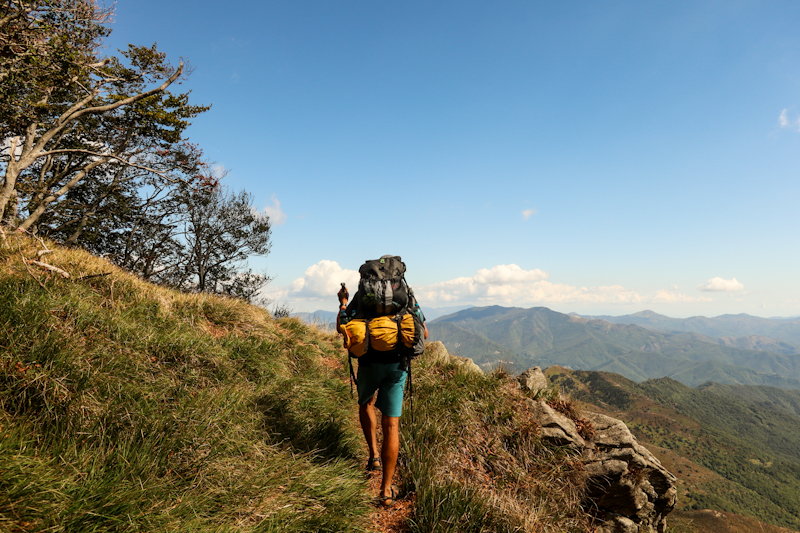
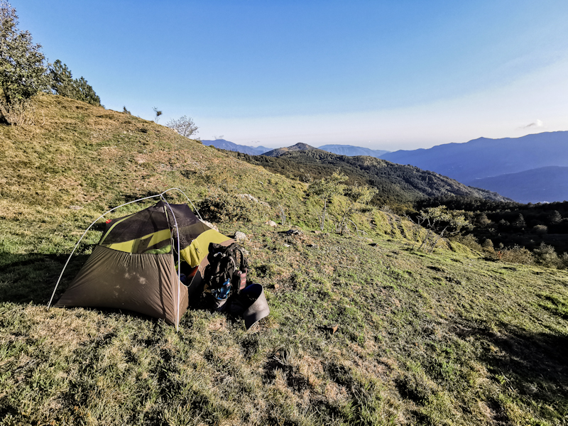
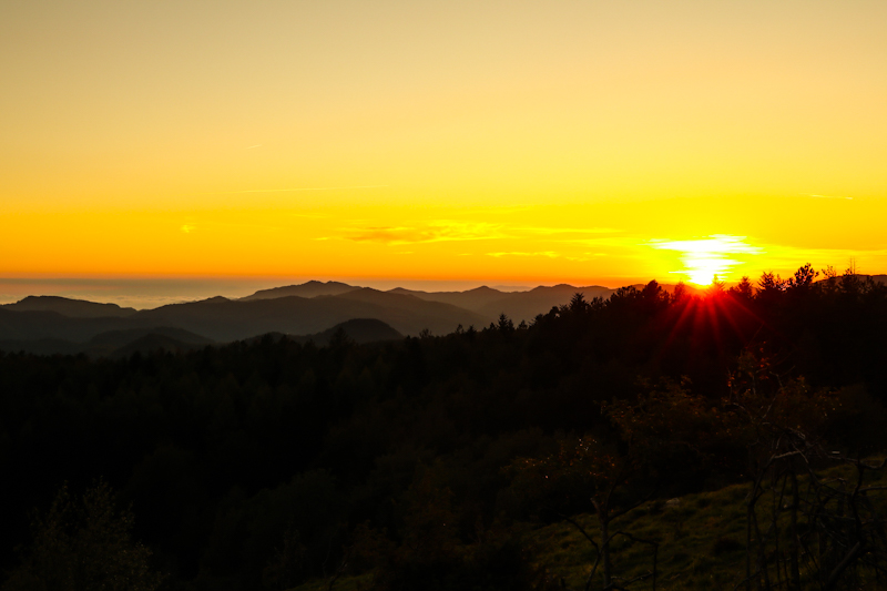
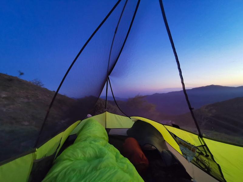
Day 173: Mediterranean Moment
Monte Telegrafo to Monte Lavagnola
Distance: 35km
Fortunately, I didn't wake up with a third leg. So the radiation from the nearby antenna wasn't all that bad.
It's a chilly morning and for the first time I wear my merino long sleeve as I start into a new hiking day, which is a constant up and down. Gentle in the beginning, rougher towards the end. I'm fighting with the vertical meters, the heavy backpack and the temperature. Yet, the effort is well worth it and I get rewarded with spectacular views throughout the day.
For the whole day I follow the Via Alta Monti Liguri (and the E7 that runs from Lisbon to the Balkan), which is well marked and in good shape for most of the time. Yet, there are some exposed parts, where I need full concentration.
I was mentioning the views before. While not the most spectacular, the most emotional sight I have in the morning, when I spot Genova with the Mediterranean behind. I pause for a view minutes and I can't hold back some tears. Yes, it's just another sea you might think but still, it makes me realize once more how far I have come on my E1 journey.
Shortly before starting my last steep descent to Passo della Scoffera, I meet Massimiliano, a very friendly hiker from Genove. We get into a conversation and he gives me some valuable tips (like water sources) for the next few days. We are hiking together for a while until our paths split. It felt good having had my first conversation after staying with Pierangelo a couple of days ago.
Well motivated, I tackle the last climb of today. While nothing is hurting, my body feels exhausted. The trail is really taking its toll. Once settled in for the night, I do my planning for the next couple of days and it seems like the trail will keep me challenging.
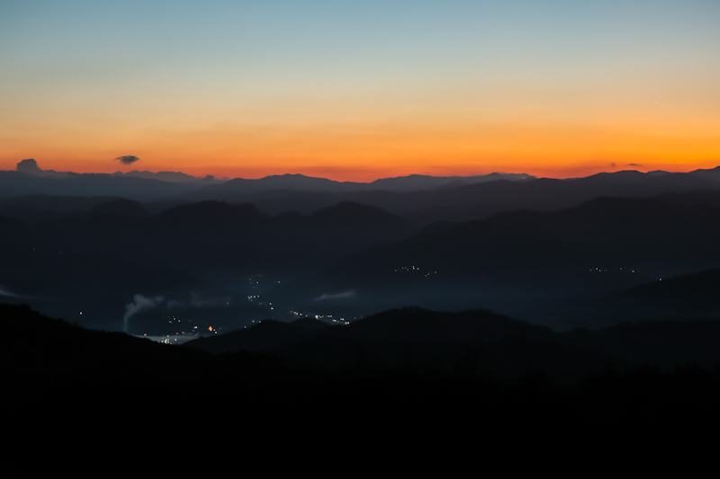
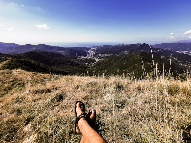
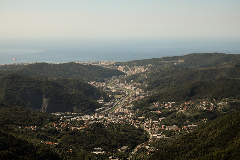
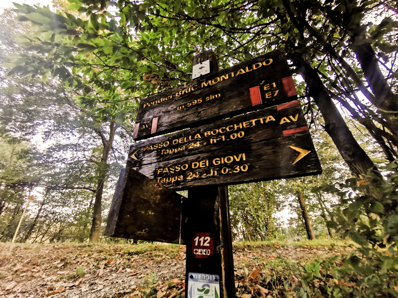
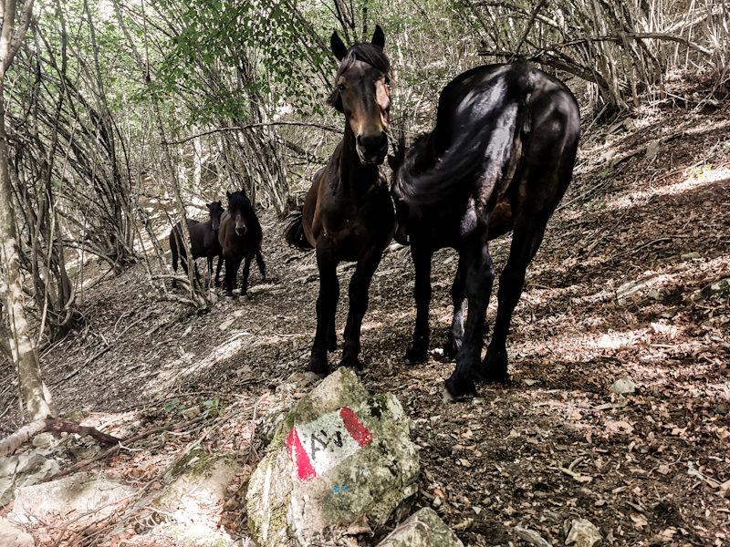
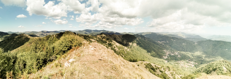
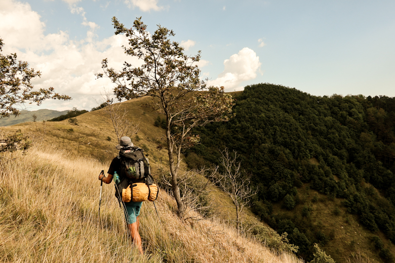
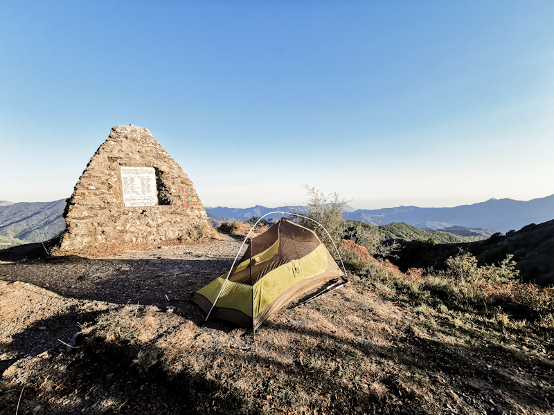
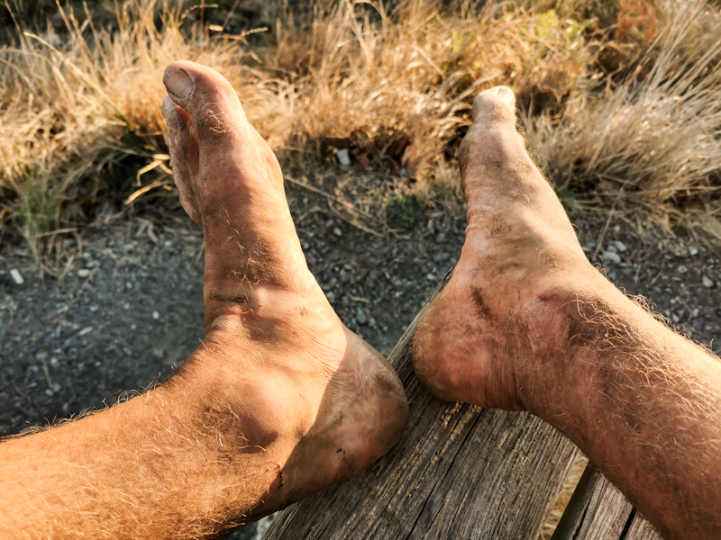
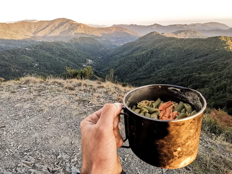
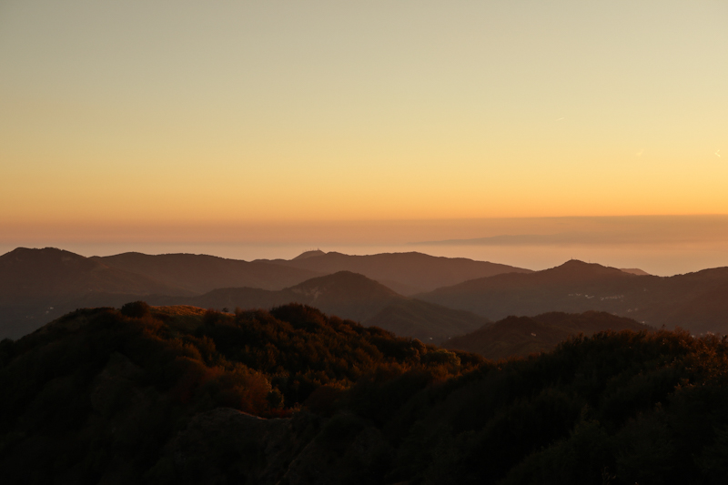
Day 172: The Hills Are Calling
Near Monte Ronzone to Monte Telegrafo
Distance: 45km
A nice morning, an even better late afternoon. Everything in between is to forget. That sums up today pretty much.
The day starts with a bit of up and plenty of down. I leave E1, which is not really marked anyway, and follow the trail 203 to Vignole. Saves me a 4km roadwalk. No idea, why E1 is not taking this route.
Vignole is down in the valley, where I cross the Scrivia to Arquata Scrivia. Another depressing town but it's full of supermarkets. Being Saturday morning, they are crawling with people. Being Italy, people combine shopping with socializing in the aisles. It's a mess. Two hours and two supermarkets later, I am finally on my way again. With food for six days and six liters of water, my pack is painfully heavy.
There's not much along the trail when it comes to food. When I run out of it, I have to go off trail for resupply. I consider six days worth of food as a good amount. Gives me some time away from the hustle and bustle and after six days I need to recharge my battery pack anyway.
And for the water, well, I rather play it safe in the beginning. Running out of water with these temperatures is not that cool.
Anyway, with a heavy pack I fight my way back up into the hills of the Apennin. Overall it's a pleasant hike through bushland and forest on nice, sandy trails. Only the markings are inconsistent and unreliable for most of the time.
Some of the hill tops offer spectacular views. The best view is definitely from Monte Alpe.
My plan is to set up camp around 18:30. However, as there are no spots I like too much, I keep on going and going and going. At 20:00 finally, I reach Monte Telegrafo. The sun has long gone, there's a nice flat grassy area and the views are beautiful. Only a mobile phone and some other antennas a couple of meters away are scaring me (well their waves do). But I am done. My body is aching. Physically, it's been the most challenging day so far. So I pitch my tent and eat my pasta while looking at a spectacular evening sky, looking forward to exploring more of the Apennin tomorrow.
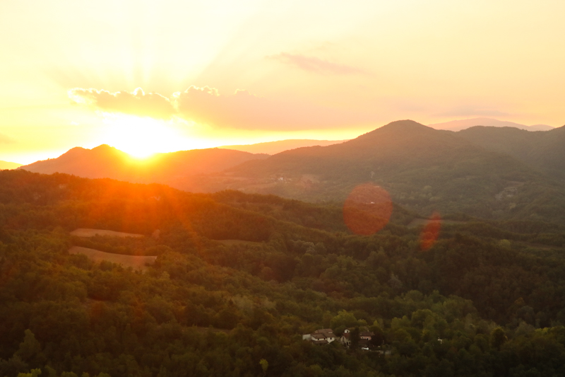
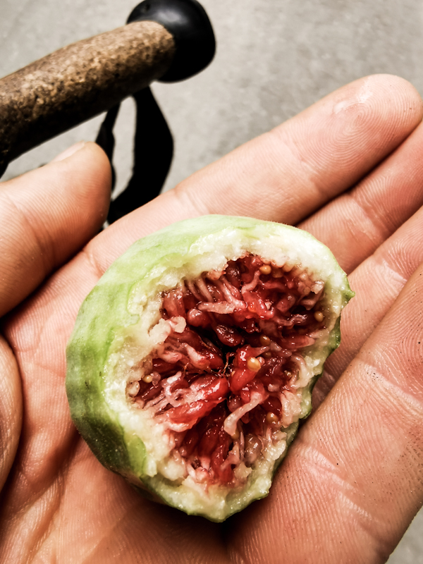
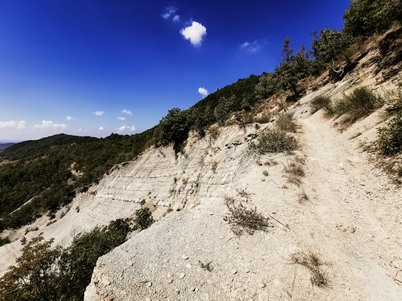
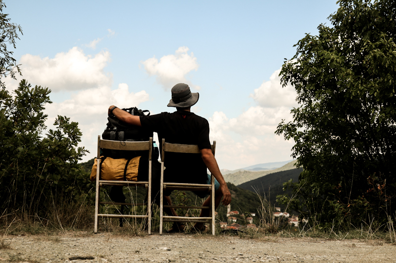
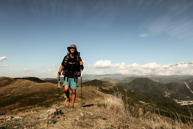
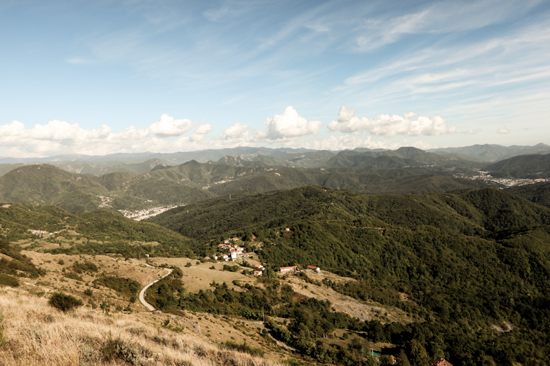
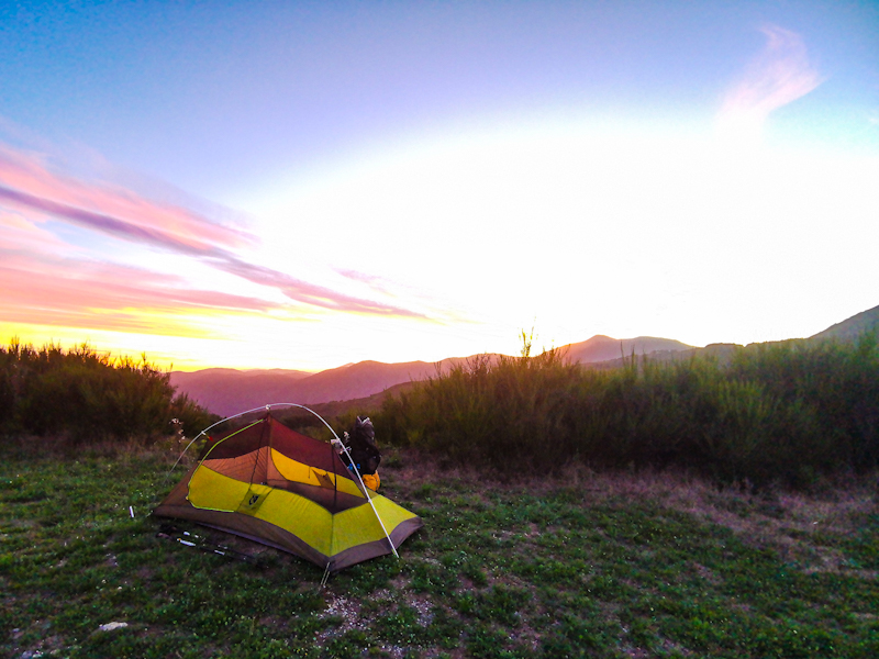
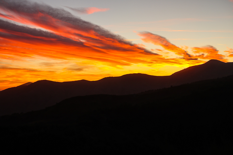
Day 171: Contrasts
Po River to near Monte Ronzone
Distance: 45km
No thunderstorms but the heat once more made sleeping difficult.
Since the road is closed and I don't have to worry about cars I leave just before dawn, leaving the Po behind for good. It's hazy, humid and the visibility poor. The first half of the day is depressing walk. A mix of gasoline and the foul smell of rubbish fill the air.
All together somehow reminds me of my vacation in Laos. In fact, I don't feel like being in Europe anymore.
I don't envy anyone who is living here. And it shows me once more how lucky I am to live in one of the most beautiful regions in Europe.
Obviously, the people here have their reasons why they live here. Yet, it kind of makes me sad.
The trail, well, beside two random signs, it's not marked at all. Sometimes overgrown, sometimes hard to find. And plenty of roadwalk until Tortona, yet another sad looking town, which I cross as quickly as possible.
Then, the surrounding changes dramatically. The terrain gets hilly, the air clearer and drier and vineyards replace the rice paddies and corn fields.
It's harvesting season and the vineyards busy. Together with the sweeping views, there's a lot to see. Quite the contrast to the morning. A pleasant, most welcome change. The undulating terrain and yesterday's long hike make me finish early today. With a bit of luck I find a neat spot, overlooking the Po flat with the Western Alps clearly visible behind. As it's only 18:00 there is plenty of time to plan and organize the next few days, which mark the beginning of my Apennin adventure.
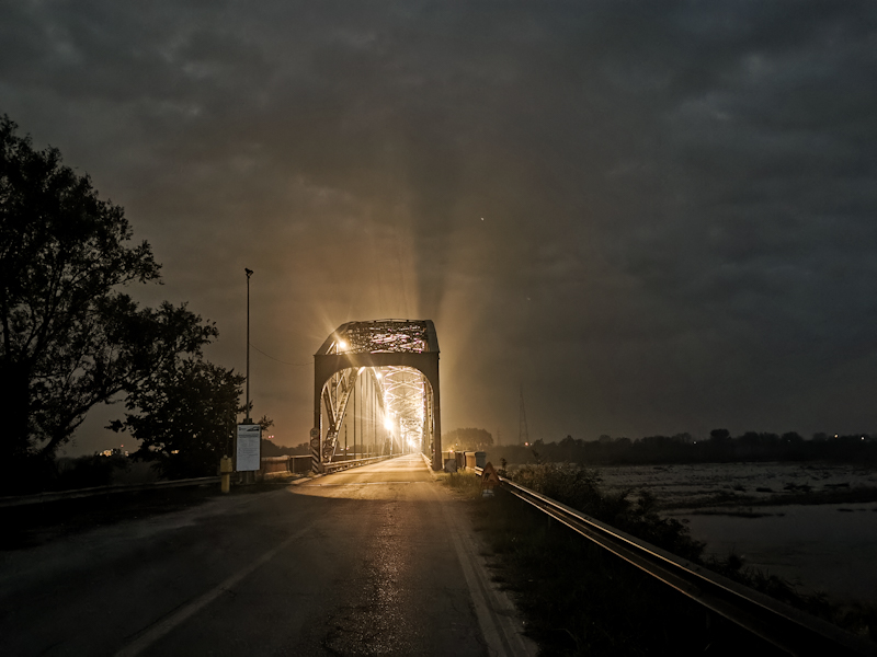
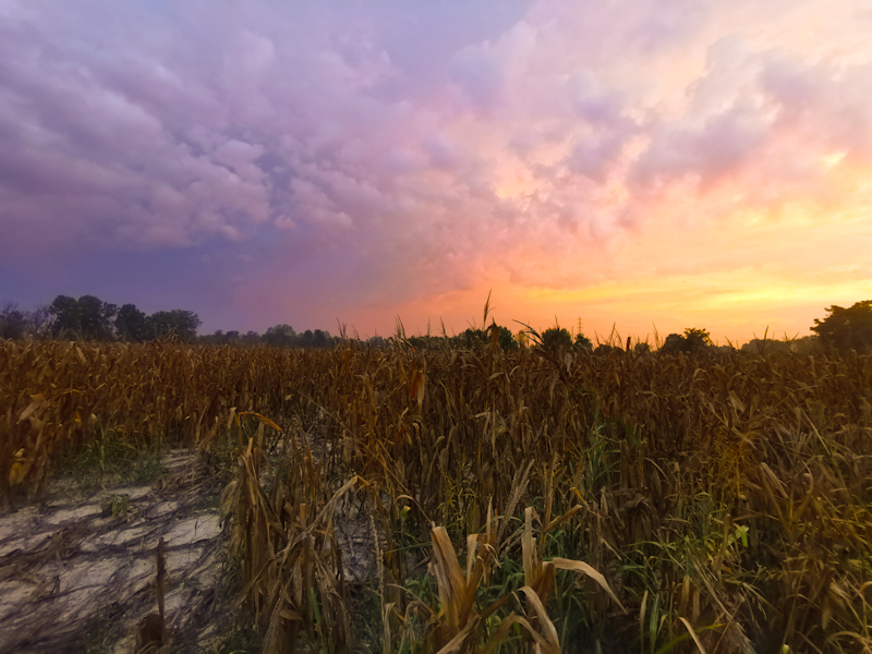
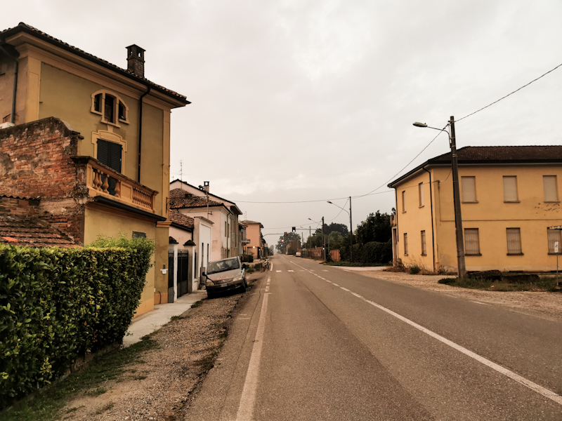
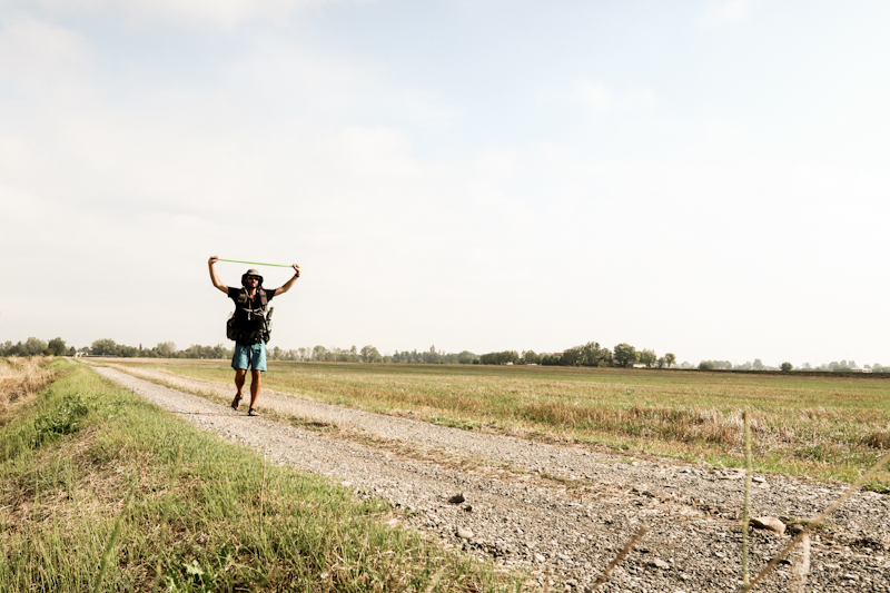
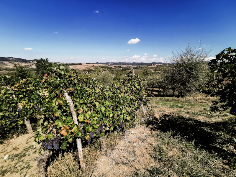
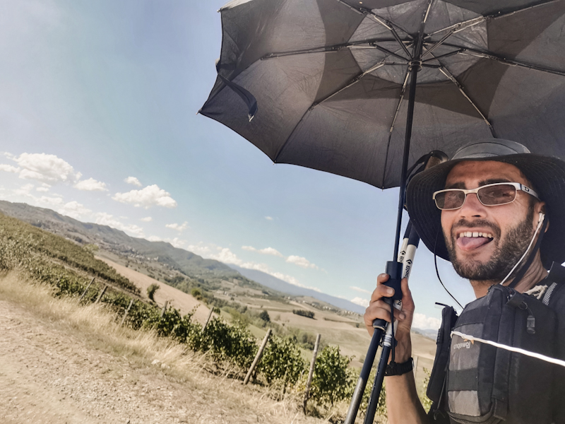
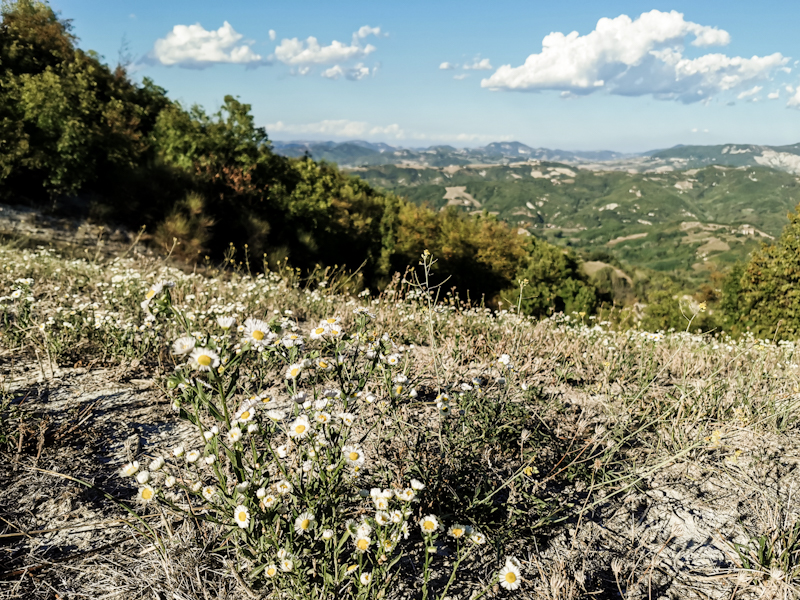
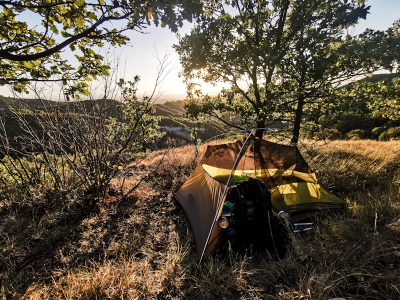
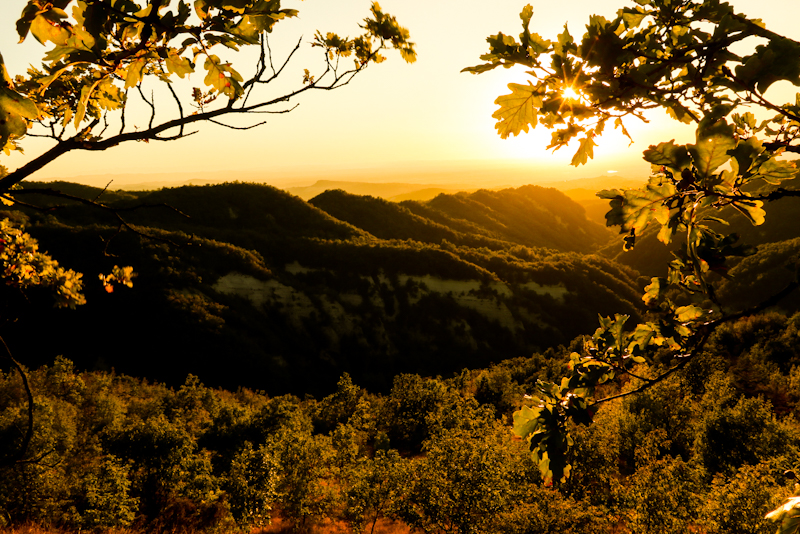
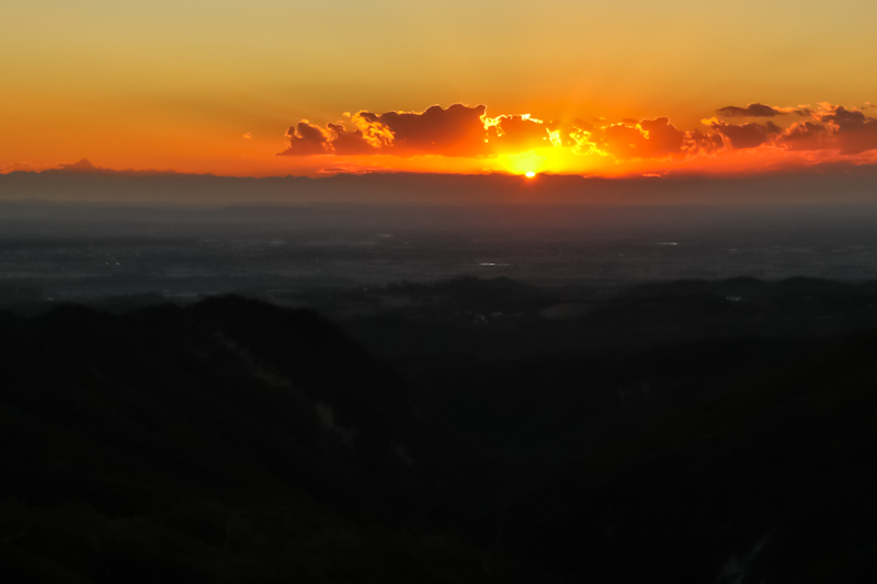
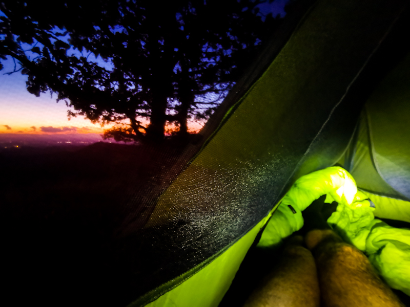
Day 170: Long And Lucky
Bernate to Po River
Distance: 60km
A short but deep sleep. More or less well rested I make my way out of the studio and into the kitchen, where Pierangelo prepared breakfast for me the previous evening.
At 05:30, after some bisquits and an espresso, I am on my way. I do not have a certain place to reach but I want to stretch my limits today. So I try keeping a good pace, which is easy along the canal. As it's slowly getting day, I watch the small villages waking up and the path along the Canal Navagio Grande coming to life with people running and walking their dogs. My legs feel strong so I keep on going. Nearly 20 kilometers non-stop until my first break. Some bread with Pierangelo's delicious fig marmalade.
Even though I'm not following the "official" E1, there are E1 signs along the canal. No idea why. Doesn't matter. Eventually, I leave the canal, cross the Ticino River via a ponton bridge and make my way towards the Po River. It's hot and humid. Feels like Hongkong or even somewhere in South East Asia. Luckily it's all completely flat and walking doesn't require much effort.
Once I walk past a Kiwi fruit farm and a couple of minutes later find myself amidst rice paddies I realize once more how far I have come. Up north, where nothing but grass was growing. No tress, no bushes, no nothing. And now...
My legs wouldn't get tired, so by 16:00, I decide to keep pushing to make it across the Po River today. After a resupply in Sannazzaro di'Burgondi I walk past a sign saying Ponte Gerola is closed for maintenance. Shit. I completely missed that during my planning. So what should I do now? I was taken a bit off guard by the sign and I initially just keep on walking on the highway, which obviously is fairly quiet. No roadwalk from hell. But I have other things to worry. While walking the 5 kilometers to the bridge, I quickly run through the option. I'd definitely try to cross the bridge anyway. Being 19:30, the workers must have left for the day. And even if it was not possible to use the bridge, maybe I could ford the river, considering the little precipitation this summer. If that won't work either, well then it's either an additional day walking to the next bridge (if that is even possible) or hitch around. But I'd worry about that later.
As I approach the bridge, I get super nervous. The nervousness quickly goes away though once I realize, it's no problem crossing the bridge on foot. All they do is putting on fresh black top, while side walk is left untouched. With no cars at all, I cross the bridge, the sun setting to my right, the Apennin Range suddenly appring on my left. Magical. On the other side, I quickly find a good spot to pitch my tent.
What a lucky ending of my long day. Now all I hope is that the predicted thunderstorms won't actually happen.
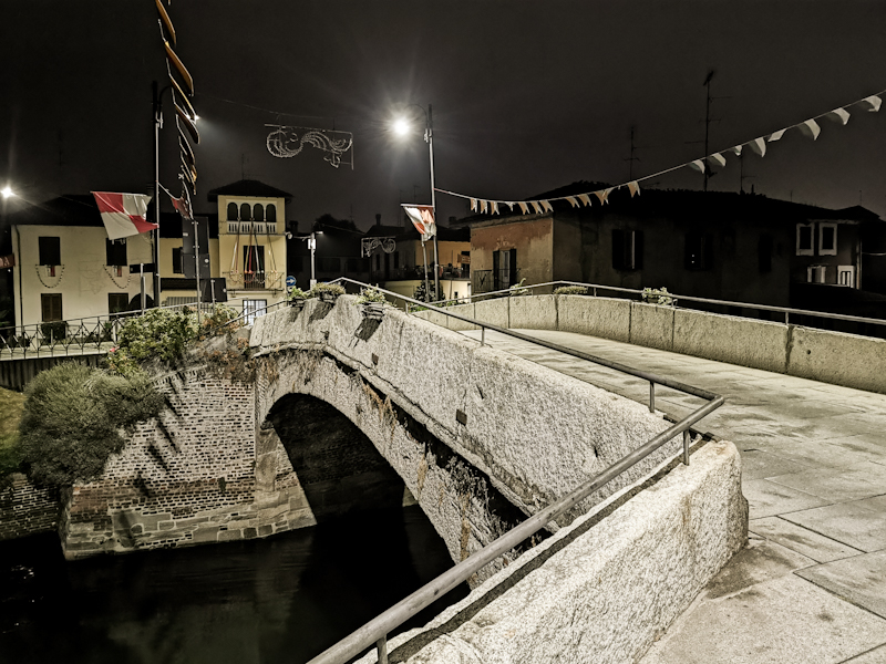
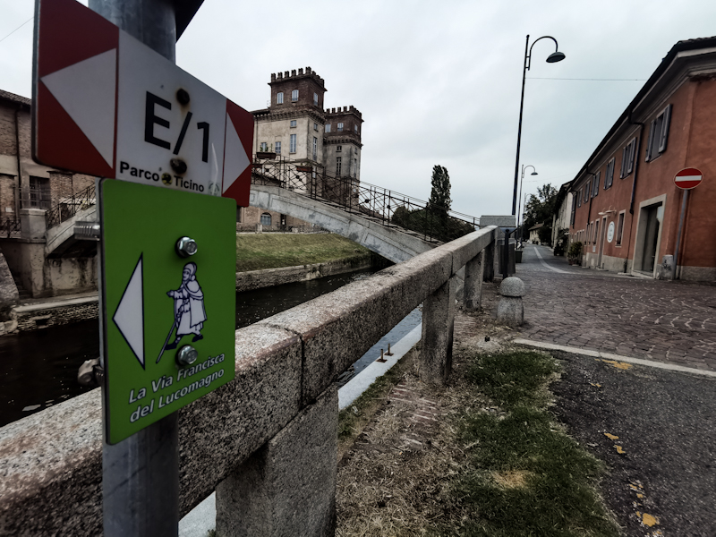
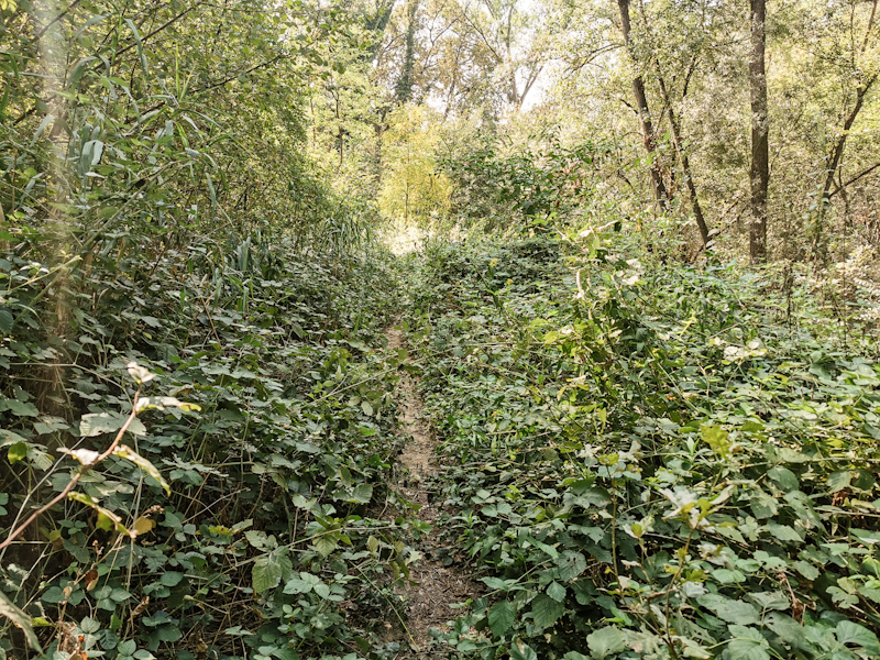
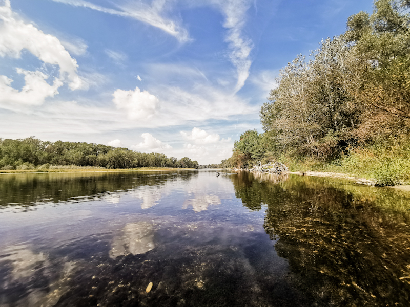
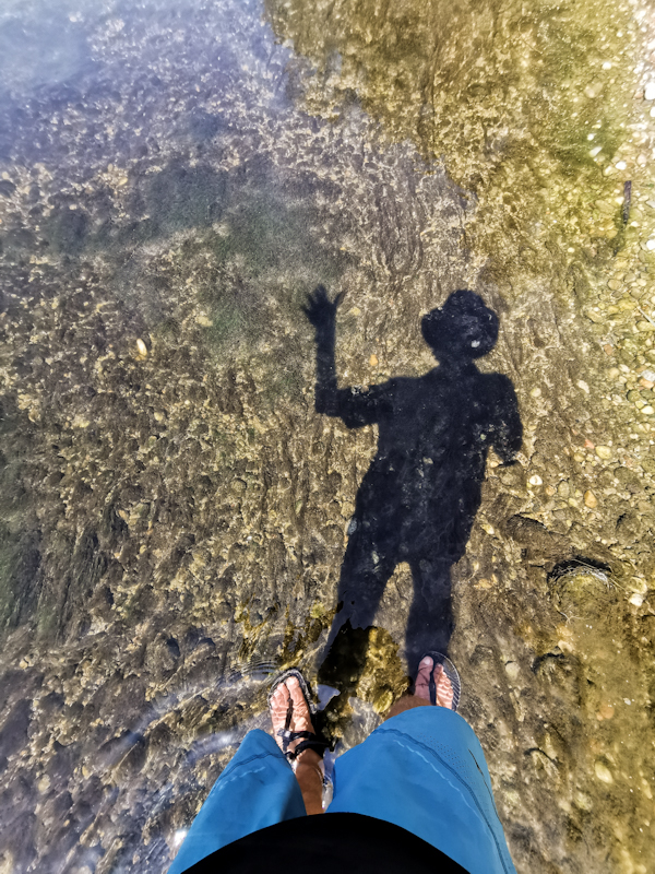
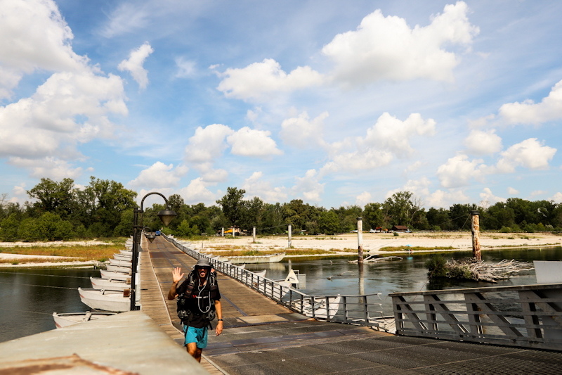
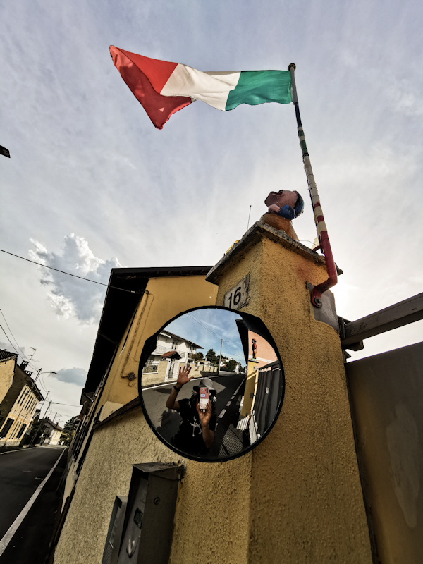
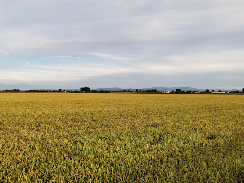
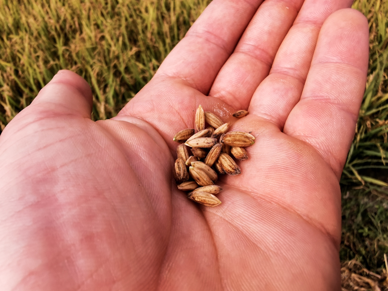
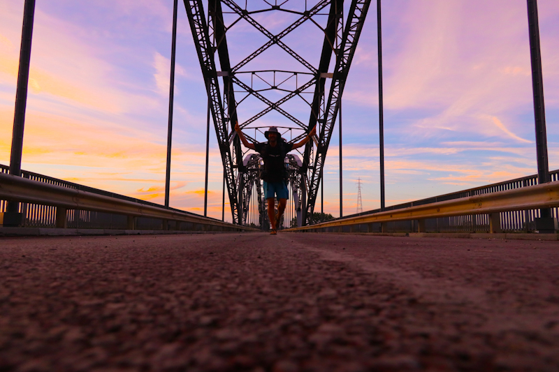
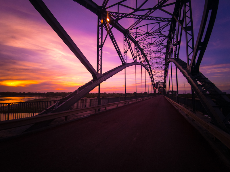
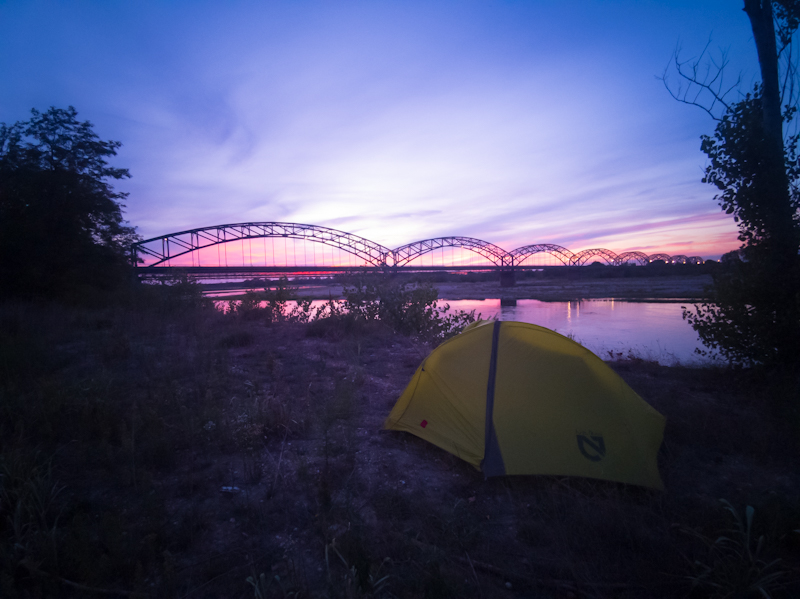
Day 169: Going With The Flow
Island near Tornavento to Bernate Ticino
Distance: 18km
First thunder, than the fisherman departing shortly before midnight than at the ungodly hour of 02:30 a series of departing aircraft. Most probably cargo planes. It was a noisy night, warmer than the one before so no sleep bag needed.
The day starts as it ended. Following the canal, the weather muggy. Yet walking goes a bit easier compared to yesterday and sooner than I anticipated I arrive in Turbigo for my first resupply in Italy. A first resupply in a foreign country generally takes a bit longer as I am overwhelmed by the different layout and the different choice. Which looks delicious indeed (well it's Italy) but does not offer the trail food variety I am used to. Doesn't matter as I only need food for two days and some fajita bread and bisquits do the job.
After using the free wifi to download some maps, I am off again along a rather busy canal. Planes approaching Malpensa keep me busy for a good part of the morning.
I decide to follow the canal instead of the official E1, whose layout doesn't make too much sense for me. Weirdly enough I stumble across several E1 signs, despite being away from the official track.
Anyway, eventually I approach the town of Bernate Ticino, where I chat with two Vespa riders. My first real conversation in Italy. Feels good!
A couple of steps further down the canal, still in Bernate, two people are calling me from the other side of the canal. Asking me where I am coming from and where I was heading. Kind of funny and typically Italian having a conversation with a canal in between. Anyway, they end up offering me lunch in an hours time after they finish their pottery lesson. My initial reply "I think I should continue, I still have a long way to go". They say if I decide otherwise, I should just know on their door.
Once they have left I say to myself "Sandro, don't be bloody stupid. Don't miss out on this opportunity. Being invited for lunch in Italy can only boost your motivation."
Without further thinking, I backtrack, crossing the canal and heading back on the other side. Before I know, I have sit on the table, trying myself in pottery together with his friend and student Simona from Milano. Turns out my talent is rather limited.
Lunch is delicious as expected. Homegrown peperoni with chicken and bisquits topped with homemade fig marmalade. And finish it up with an Espresso.
While having lunch, Piereangelo offers me to spend the night in his art studio. Since lunch took quite a while and I am in no hurry I happily agree. After a tour around town we are back home for dinner. Pesto Piere aka Pesto al Genovese with potatoes and beans. Simply delicious.
This relaxing afternoon away from the trail felt good. A well needed insight into the Italian culture and with Piereangelo a new friend. What a wonderful person.
I hope this experience will help to lift my hiking spirit for the next.
Anyway, for now, I am a well fed, happy camper ready for some well needed sleep. A long day is awaiting me tomorrow.
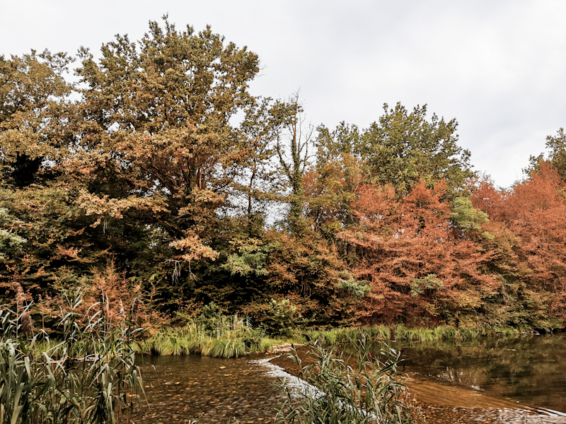
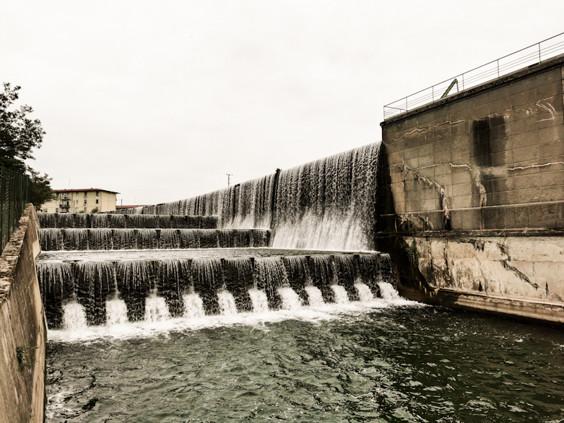
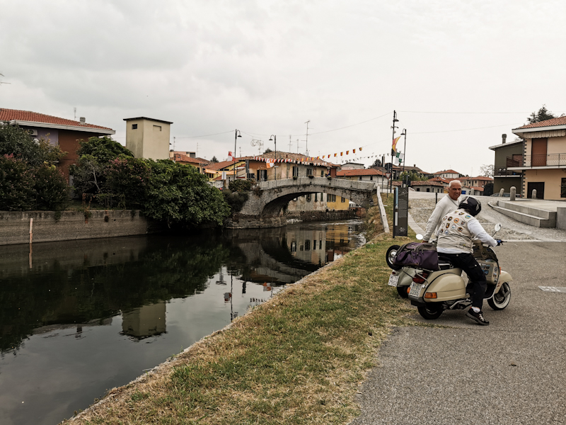
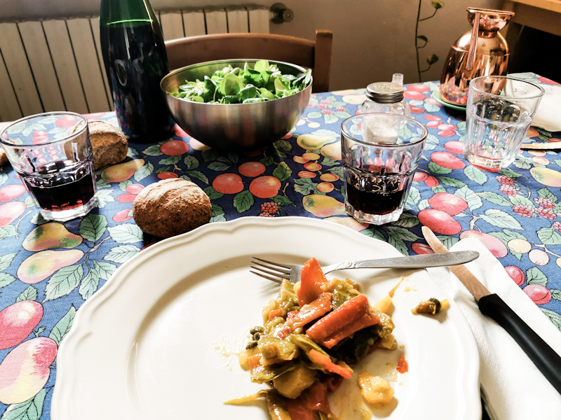
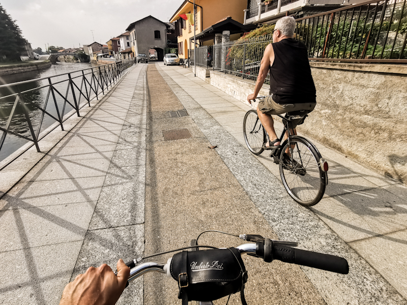
Day 168: Rivers, Lakes And Little Motivation
La Motta d'Ora to an island near Tornavento
Distance: 40km
The temperature last night was challenging me: too cold to sleep without sleeping bag, too warm to sleep in the sleeping bag. As a result I kept on waking up, slipping in and out of the sleeping bag. Otherwise, it was a peaceful, uneventful first night in Italy. Not that I expected anyone to show up in the middle of the forest.
Under the dense canopy of the chestnut forest, it is still pitch black when I leave and only gets a brighter once I step out of the forest and into the city of Gavirate. I navigate through the morning rush hour, take a wrong turn eventually, which takes me to Lago di Varese. I like it there and instead of turning back, I decide to follow the lake on a cycling path. As the trail notes are warning me about overgrown, impassable tracks further down, I continue along the cycling path even longer. I'm already lacking motivation (I'll get back to this shortly) and definitely don't feel like bush bashing my way through. Therefore, I follow Lago di Comabbio on its eastern side to finally rejoin E1 on the Ticino River.
Except for the first part along the river, where I have to walk on the road, the hike is rather nice. Easy to walk, straightforward to navigate and plenty of aircraft to admire flying in and out of Malpensa Airport. Only finding a suitable place to camp is not that easy. The first place, which looked promising on Google Earth is way too exposed. After checking Google again, I mark some possible locations. Luckily, the second place I marked seems to be a bingo. A hidden, quiet parking lot on a island near Tornavento. Only a single fishermen is around and I can't imagine he would bother.
Coming back to what was bothering me today: my lack of motivation and enthusiasm. While the first days on the trail are never easy for me, this time is particularly difficult to motivate myself. To be honest, deep down I wish to have finished this autumn's hike already. And I am not sure why. Maybe it's the next couple of days laying ahead of me. Flat, boring, plenty of roadwalk, dogs. Maybe it's that stark contrast to the amazing hiking experience at the beginning of E1. Maybe I simply hiked too much lately and done with it for the moment.
Having been barked at at least a hundred times and nearly been run over by two Fiat Pandas during the last two days doesn't help to boost my hiking spirit.
But for the moment, I just keep on tracking. I'll give it a few days (when I will hopefully reach the Apennin) and then reevaluate. Many things can happen until then.
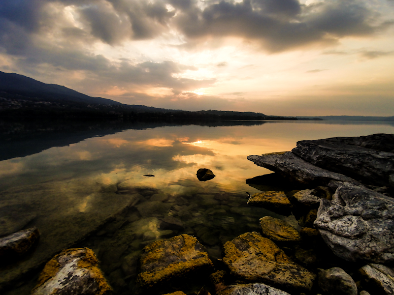
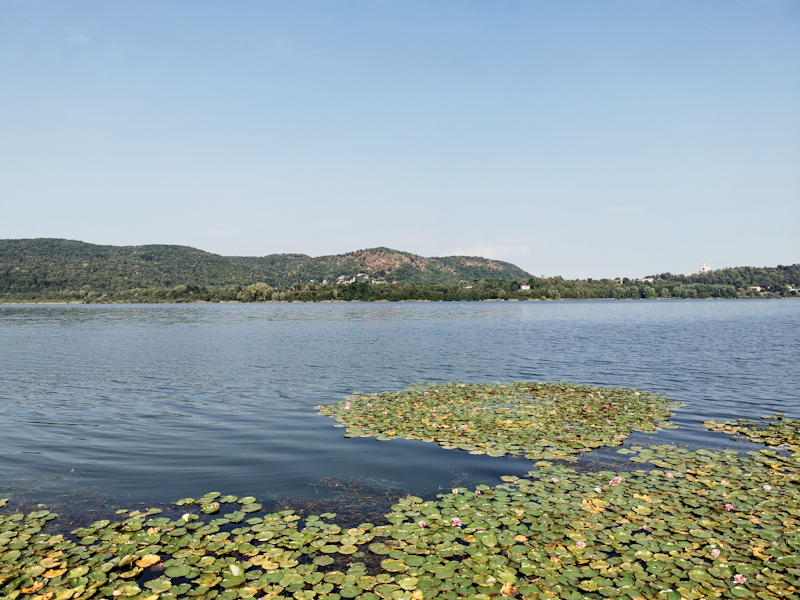
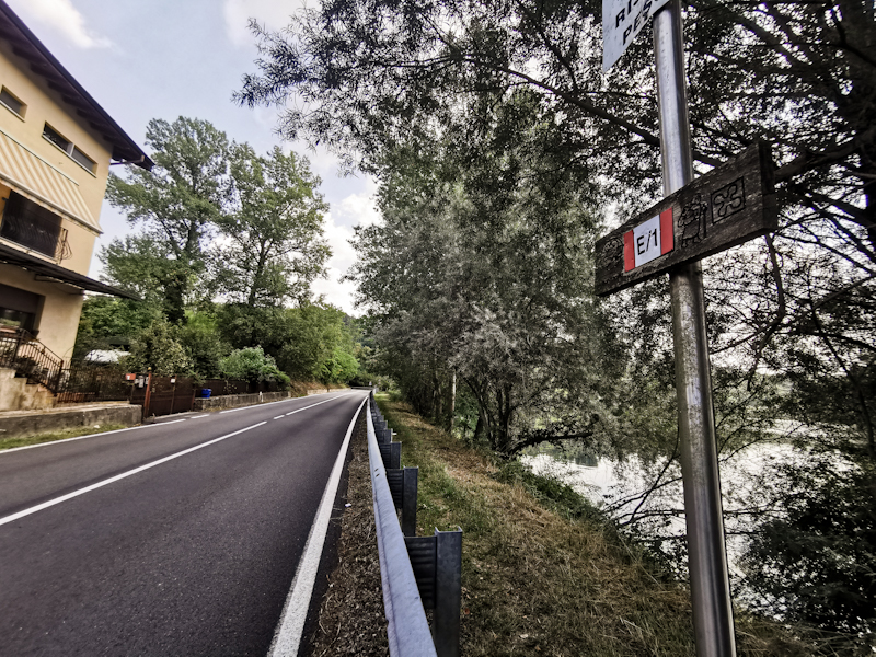
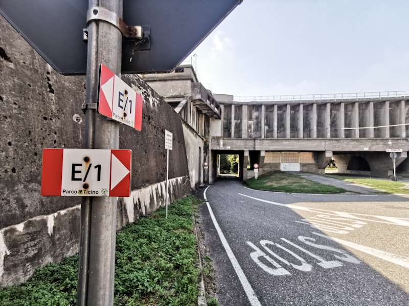
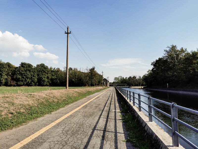
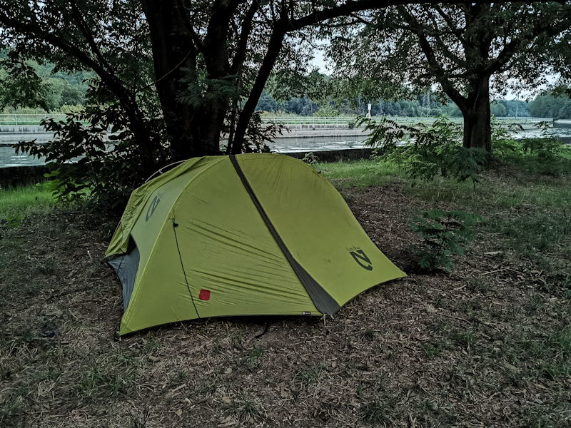
Day 167: Tackling Country Number Seven
Porto Ceresio to La Motta d'Ora
Distance: 30km
06:32, the packed Eurocity to Milan and Venice is slowly pulling out of Zurich. Buried deep in my thoughts, I don't really realize it. It's the unknown, which keeps my mind busy. Despite having done quite a thorough planning, I still don't really know what to expect in Italy. And it is something I don't like too much.
Eventually, the train reaches rainy Lugano, where I connect to a local train to Capolago, where I board a post bus to Porto Ceresio. I get dropped off right in front of the pier, the starting point of E1 in Italy. While the town seems to be worth exploring, I am not in the mood to do so. I rather prefer to hit the trail as soon as possible. After the mandatory photo, I'm back on the trail. After a quick stop to turn on my tracking device (which I completely forgot), the trail soon leaves the road, climbing steeply away from the lake. With loose rocks and tree fall not very nice to walk and not a very nice first impression. Luckily, the trail improves quickly. Yet, my knees feel like jelly. I suspect that it is more of a mental thing than a physical thing. All that thinking earlier probably didn't help.
It's a permanent up and down. Mostly through forest, with the odd village and some places that would offer good views, if it wasn't for the poor visibility. Kind of sad because according to a info board, the highest peaks in Valais as well as the Piz Bernina would be visible from Forte Orino on a good day. Yet, the view towards Milan is not too bad and gives me an idea what to expect. It's going to be flat...
It would be a fantastic place to camp up there at the Forte. And being 18:00 it sure would be more than suitable option. Yet, my feet feel more restless than ever and I decide to descend towards Gavirate. I take a shortcut here via the trail 13, risking to get stuck because of a massive tree fall visible on Google Earth. Luckily, the trees have been cleared, which must have been a massive effort. Thanks whoever did it. Saved me a detour and lifted my hiking spirits. Generally, the afternoon was much easier to walk, mentally. I guess it takes some time to be back in the thru-hiking mode.
Nightfall comes surprisingly quickly. Gone are the days, where the sun was still up at 22:00. By 20:30, a couple of minutes after pitching my tent, it's completely dark here in the middle of the forest.
My hiking days definitely will be shorter than in Germany. But more sleep isn't too bad either.
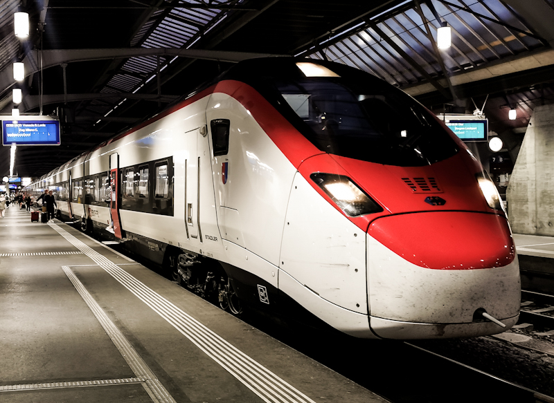
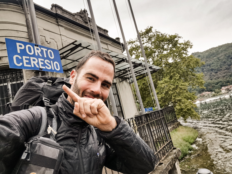
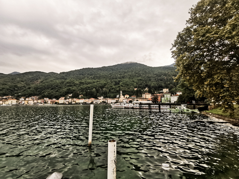
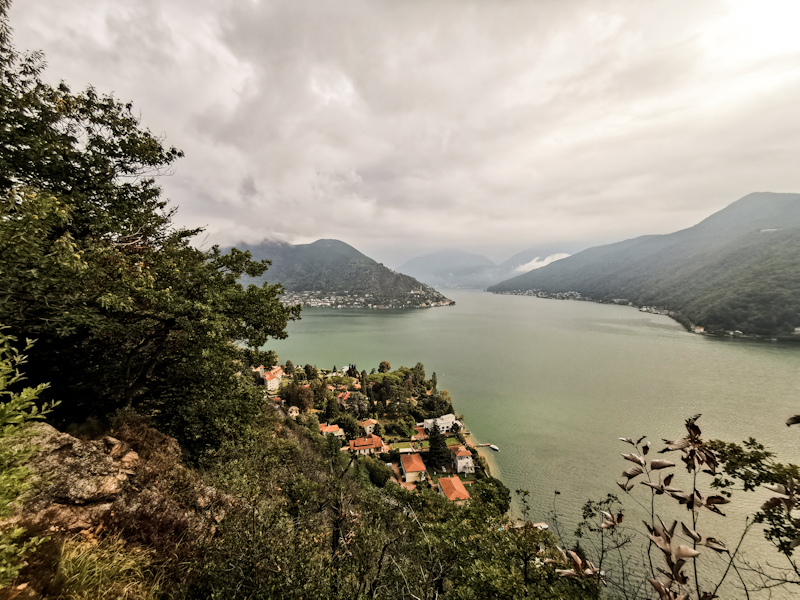
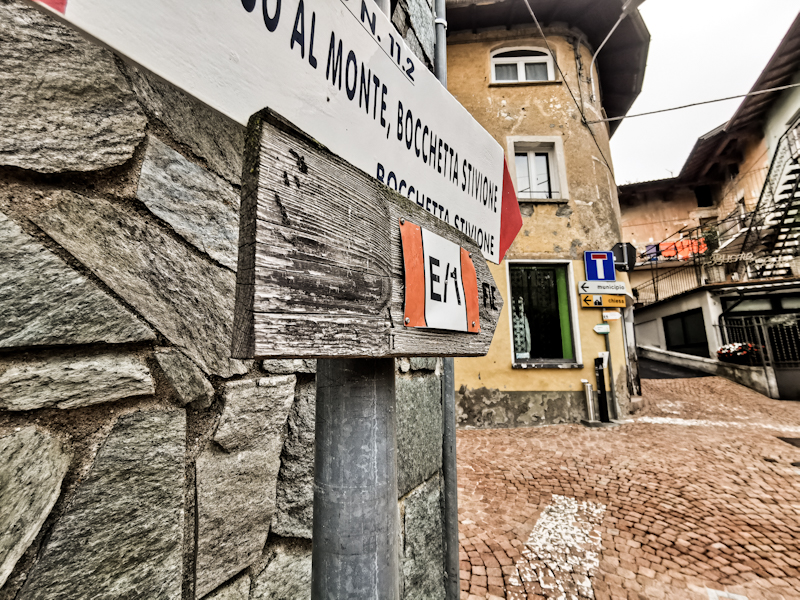
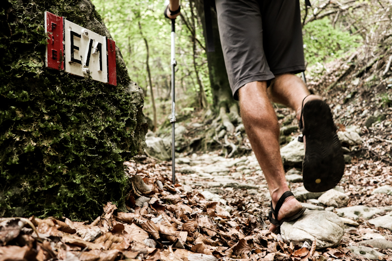
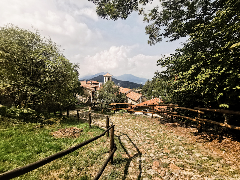
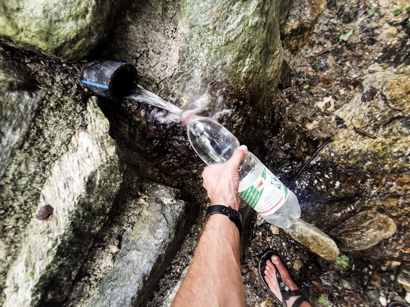
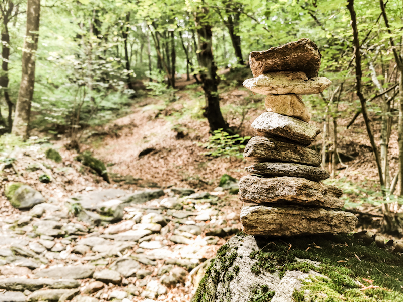
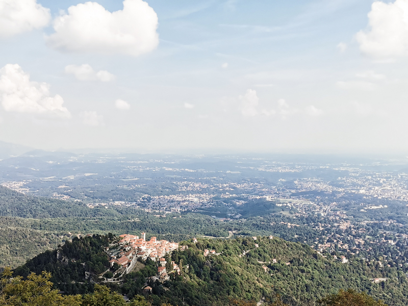
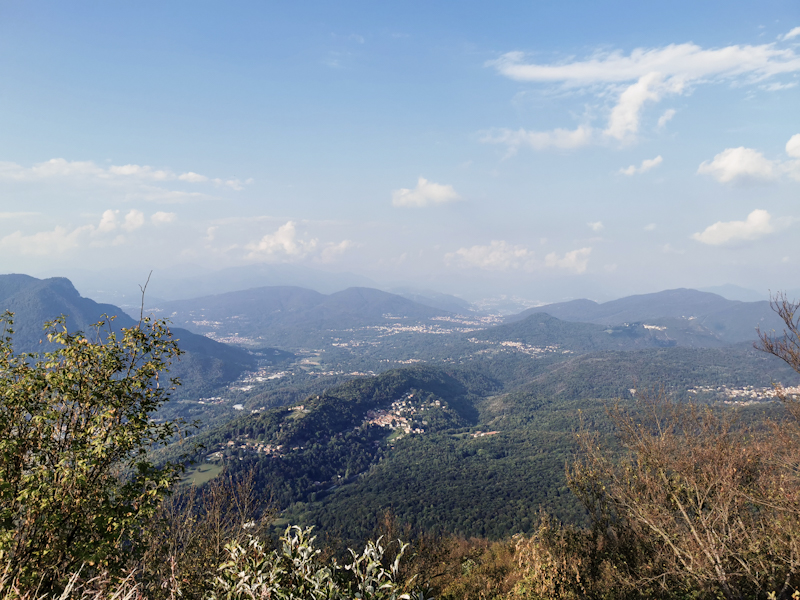
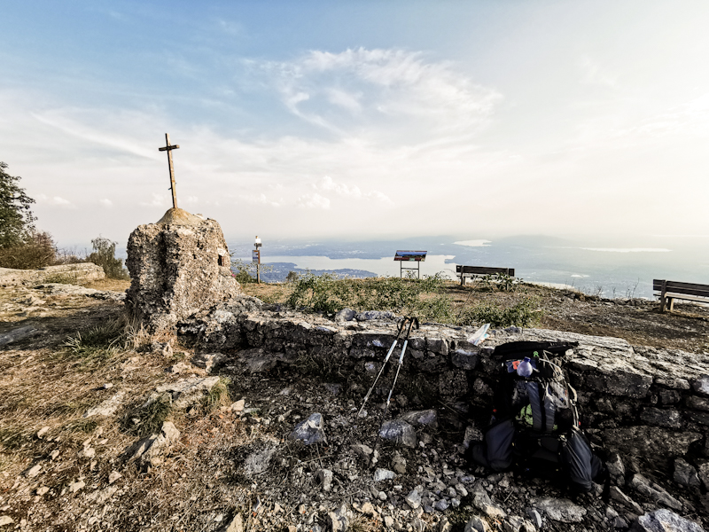
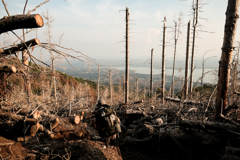
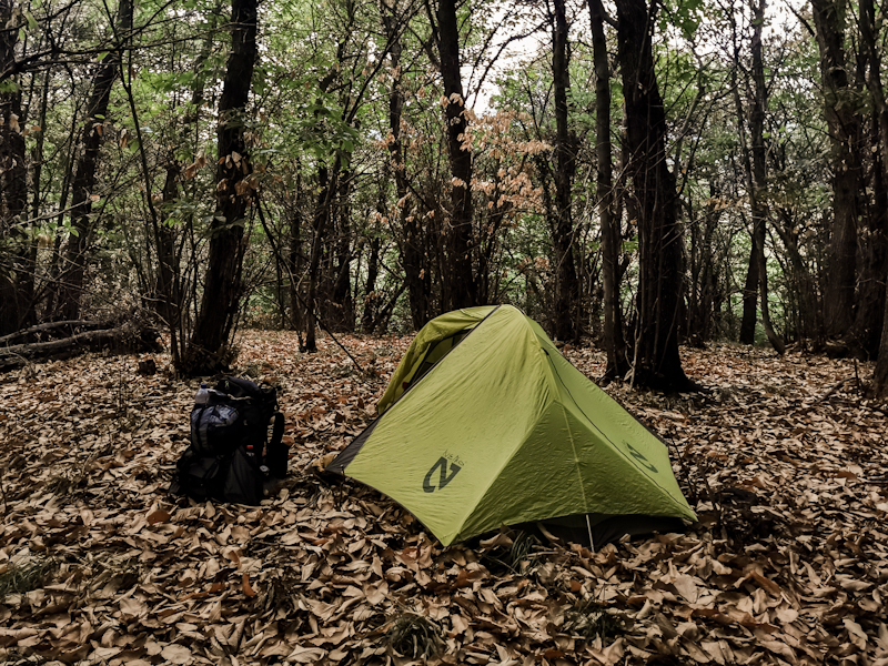
And The Show Goes On
After spending a very busy August at work in the Engadin, I am lucky to have September and October once more available for my project. While I am initially debating whether I should continue E1 in Italy or do something completely different during the two months off, I end up to opt in favor of E1. It's my third summer on E1 and somehow I am ready to complete it next year. This however will only be possible if I hike some kilometers of Italy this year. Otherwise, Sicily would be out of reach next summer most probably.
A good motivation, a needed motivation. After hiking 2000 Kilometers this year already, my body's batteries are not as full as they could be anymore.
This does not sound like a great preparation and start into a hike, does it? However, the closer I get to packing my pack and head south, the more I am looking forward to the challenge. Not because of the apparently terribly marked and maintained trails, hair-raising roadwalks up north and strawing dogs. But because Italy something completely different again. Drier than Scandinavia, hillier than Germany and by looking at the map surprisingly remote in the Apennin, which I will follow nearly all the way to the bottom. Resupply needs a bit of planning though. But that's nothing new.
E1 takes me along a part of Italy I'm not familiar with. Like so many other foreigners, all I know of Italy are some of its many cities like Venice or Rome and some of the most famous costal stretches. E1 is giving these places a wide berth as I stay up high in the Apennin. Yet, I hope there's the one or the other place to grab a Gelato or Pizza ;)
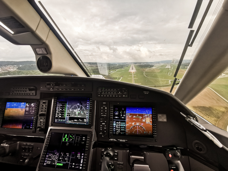
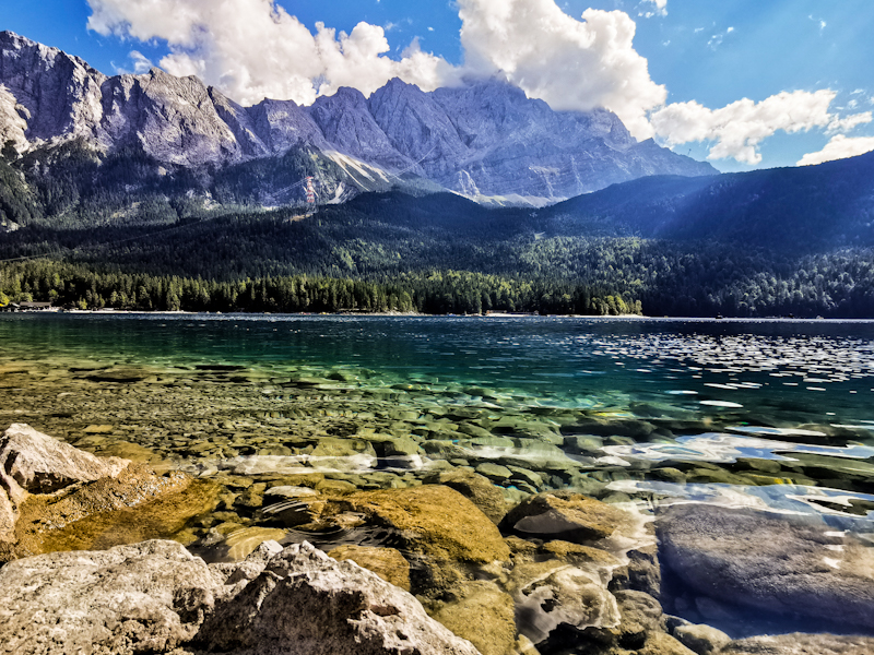
Summer Memories
Let's be completely honest: I did not have high expectations. Lots of forest, flat terrain, cocky Germans. Things I thought would be awaiting me hiking Germany.
As a result, I don't feel overly enthusiastic when I start my hike in Flensburg on a wet and cold spring day. But my not too optimistic mindset is actually helping me to be positively surprised more easily. By the trail, the scenery and by the people. In fact I very much enjoy my hike across Germany.
Yes, the terrain is flat for most of the first three weeks. A hill of more than 200 meters is the exception. A highlight even. Yet, the walk from Eckernförde to Kiel along the Ostsee is one to remember. Especially day two, in wonderful late spring weather, along a beautiful, deserted stretch of rugged coastline that I have all for myself.
After this highlight, things are getting back to normal as the trail is meandering across Schleswig-Holstein towards Hamburg. At least plenty of lakes are offering a nice change and with the warmer temperatures inviting me for a swim.
The temperatures stay high, however, unfortunately, the lakes disappear as I cross the Lüneburger Heide and make my way towards Frankfurt. All the dead forest caused by the previous dry summers and a bug killing the trees make the landscape look desolate and the heat unbearable at times. Sleeping places were sometimes hard to find. Yet with 1nitetent and basic shelters I am always lucky enough to have a somewhat okay place to overnight.
Luckily, during this rather difficult period, I meet some wonderful people on my journey, who make my walk way more enjoyable. Great talks, plenty food and a dry roof over my head every now and then. Trail magic at work.
Once past Frankfurt and the Odenwald, I enter the Black Forest. While physically challenging I get rewarded with one spectacular sunset after another. And once I spot the Swiss Alps in the far distance, my hiking spirit soars.
The good weather and the mostly easy trails across Germany make progress good and since I have plenty of time left I decide to continue to the Swiss Italian border. These last 250 kilometers across Switzerland are different to Germany. First and foremost, they are on home Turf, then the terrain: mountainous with lakes every couple of kilometers. The way I like it.
Furthermore, there's the great company of Fredy and the wonderful surprise of meeting Klaus and Gisela. This all adds to a lovely 10 days Switzerland. Yet, I am happy to reach the Italian border. My feet feel tired and the the hot weather too, has left its marks.
To cut a long story short:
On E1 in Norway, the trail, the journey was the destination. The spectacular, mountainous scenery, the solitude, the remoteness, the untouched nature, the hospitality of its people are unbeatable. But also extremely challenging.
In Sweden, after hiking through forest most of the time, the amazing shelters or vindskydd (as they call them), which were usually nestled close to pristine lakes and provided firewood and comfortable sleeping possibilities, were undoubtedly the highlight, the destination of the day.
In Germany, well, dispite being quite charming after all, neither the trail, including the landscape, nor the overnight places are, as mentioned, able to completely blow my mind. Therefore I mainly considered the Swiss border, home, to be my destination.
Day 166: Switzerland - Done And Dusted
Monte Bigorio to Morcote
Distance: 30km
As during the previous two days, today starts with a hefty descent as well. Via an initially steep and rocky one, which is followed by a more shallow descent, I make my way towards Lugano. The sole of my feet are hurting a bit. The rocky Ticinesi trails have taken their toll. So I don't mind the road walk through Lugano and its suburbs, where the trail is not marked. I navigate by phone even though the way is quite obvious. Down to Lago di Lugano, then along the busy Promenade towards San Salvatore, Switzerland's version of the Sugarloaf, towering on the other side of the city.
The 800 meter steep climb in the noon heat is daunting. I take it slow. Sweat is dripping down. Never would I have imagined my body was able to sweat this much.
There were hardly any people stupid enough to do the hike up there. Yet, there is a heavily tattooed girl climbing it as well and we get into a refreshing conversation once we both took the wrong turn at an intersection. Turns out she's a Kiwi stripper, who got bored with New Zealand and thus moved to the UK. Obviously, I have to object to the "boring" part but she only shrugs and replies she might return once she's old. She asks me why the Swiss are so slow walkers. I say I have no clue but agree that we are indeed slow walkers. I also have to pass on the question, which city she can earn the most money with stripping. The questions keep coming until we reach the top of San Salvatore, where we say goodbye as she continues and I, as a slow Swiss, am enjoying the spectacular panorama from the top, which is reachable by cable car as well. I expected it to be crowded but luckily I am wrong. I have the observation tower all to myself.
Once I have soaked up the views, I continue along the ridge, passing through two lovely villages. I bump into the stripper again. Seems like she's not that fast of a walker at last. While she is staying, I continue along the shallow ridge, through a botanical garden and into the forest again. When only a short but steep descent is parting me from Morcote, and I spot the sand colored roofs, I start to realize how close I actually am to my goal of this summer's section. This makes me feel a bit overwhelmed. The well know being-torn-between-happy-and-sad-feeling. Sad that my wonderful time on the trail is over, happy to enjoy the amenities of the "normal" life. Proper food, more shade, a real bed,... But my hike is not over just yet. The last kilometer I descend via a steep stair, making me feel each and every muscle on my feet and legs. I look down at the emerald green Lago di Lugano. Knowing that I will be swimming in it in less than 15 minutes gives me a last energy boost.
After a quick stroll through the picturesque Morcote, I find a spot on the lake, taking off my shirt and jump in. I feel like a red-hot fire poker dipped into the water. It feels great. However, with a water temperature of 28 degrees Celsius it takes me a while to cool down. Doesn't matter. I've got 2 hours until my boat departs back towards Lugano.
I thoroughly enjoy my time on the lake. The happy-to-have-finished-feeling is now the prevailing one. Eventually, I make my way to the jetty. I feel like a "normal" person in a clean, good smelling set of clothes that I have been carrying across Switzerland.
At the busy jetty, the official ending or starting point of E1, I am looking for any kind of plaque honoring this fact. But there's none. Not even a sticker. Oh well, maybe I need to hike across the country again and take some stickers with me.
The boat leaves more or less on time. To my left, I see Morcote slowly getting smaller and smaller. On my right I see Porto Ceresio. The starting point of E1 in Italy. But that's for another time. Now all I am looking forward to is an air-conditioned train carriage taking me back home.
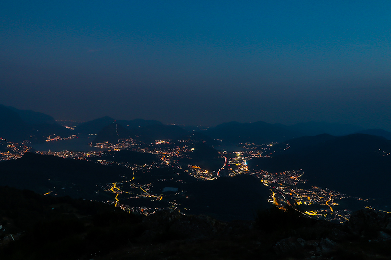
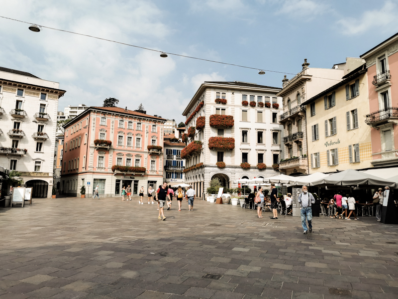
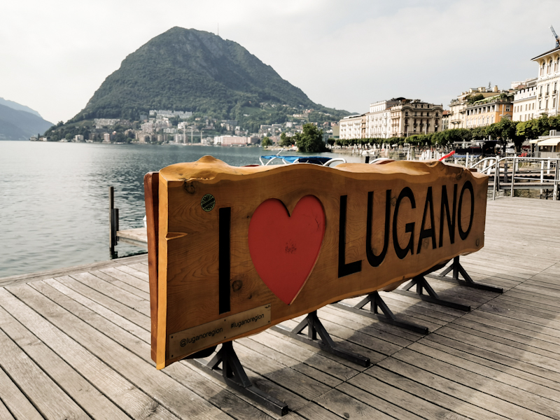
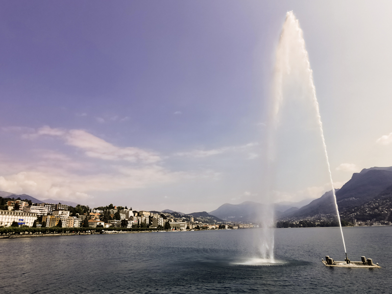
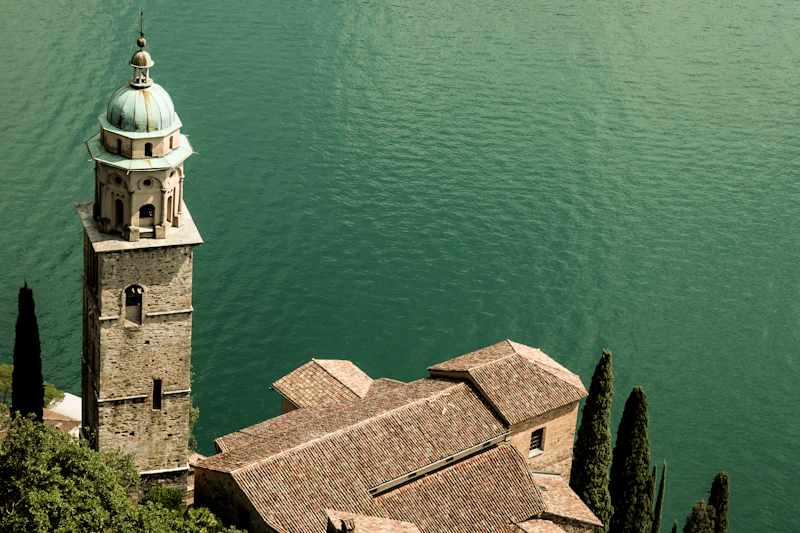
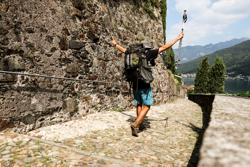
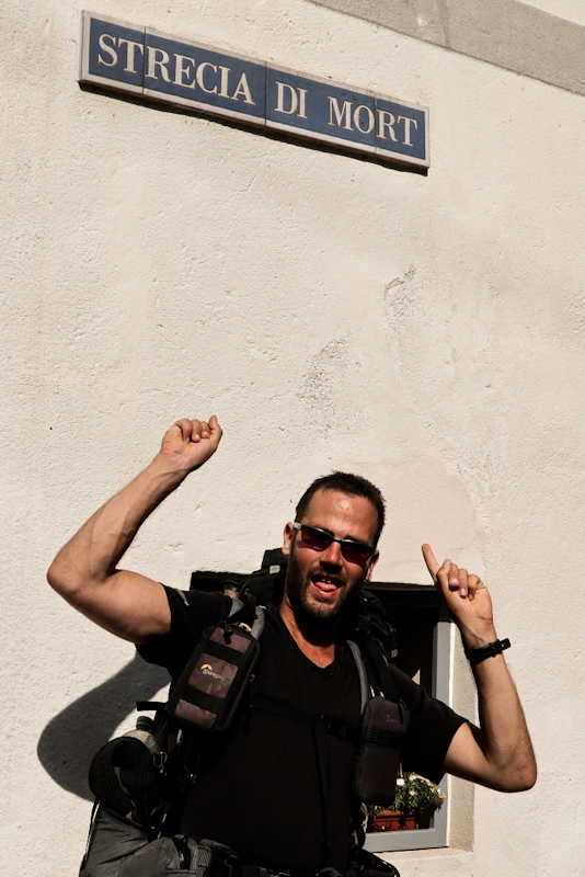
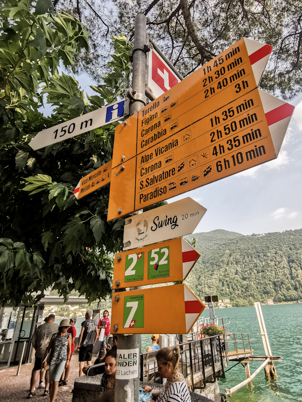
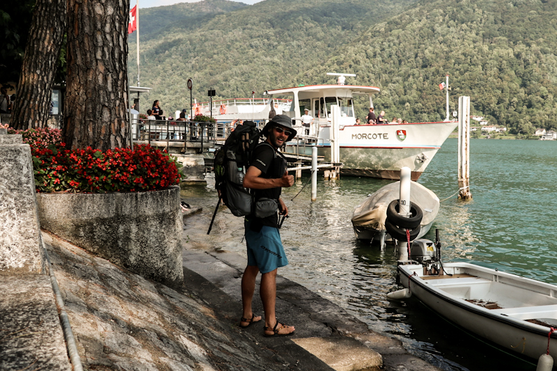
Day 165: Having The Legs
Corecco to Monte Bigorio
Distance: 45km
After a good night's sleep, I feel full of energy. Energy, which I will definitely need today.
Not for the first descent though. It's not as steep and rough and thus more pleasant to walk than I was expecting.
Once down at the bottom, I follow the Ticino River for 5 hours. There really is not much to say about this stretch. At one point, when I couldn't stand the heat anymore (temperatures reached up to 35 degrees Celsius by then), I jumped into the river, my clothes on. It will give an extra cooling effect. I sit on the river bank, admiring the massive mountains around me while drying. Therefore, I don't immediately notice the river rising rather quickly (probably one centimeter per minute). Only when my feet suddenly get wet again I realize it. I look at my backpack. It's sitting a few centimeters in the water. Shit. Out of my stupidity, I do an unplanned water resistancy test. It seems to work. The dry bags at the bottom of the pack are only a bit damp.
After a resupply and carbo loading in Giubiasco, I start my first climb of the day. Unfortunately, I over-ate and I have some discomfort in my tummy. This might sound a bit gross but with every fart and every burb I feel better again. And that's a good thing, because I can use all the energy for the steep, rough 800 vertical meters climb. At one point the trail, narrow and covered with dry leaves, puts me out of my comfort zone. The leaves are making it slippery and there's nowhere to hold on to. A small error, a slip and it's a long way down. I try not to think too much about it but rather focus on each and every step. After a couple of meters, going gets easier again. This must have been the most dangerous stretch of the whole E1 so far.
On top, I enter the training area of the army. Plenty of signs state things like "Danger", "Do not enter", etc..
According to the email I received upon requesting the status of the area, they are not practicing today. With anyone else around, I enter it. Neither do I get arrested or shot. That's a welcome thing.
Descending to Isone is much more pleasant than the climb before. Once in the village, I fill up my water bottles. There has been an abundance of fountains today, so water was never a problem. But this most probably will be the last opportunity to refill for today. With 3 liters I climb up the other side of the valley. Today, I already walked for 40 kilometers. Yet, my legs don't seems overly tired. So I keep on going. Way past the point I planned to camp. I check the map for places to stay and stumble across a promising looking place with nice views. I push hard as I want to reach it before sunset. And I succeed. A spectacular view of Lugano is awaiting me. Still not feeling too tired, I prepare my bivy, eat some bread with humus and then simply enjoy the view. I'm so happy to have found this spectacular spot. What a worthy place to spend my last night on E1 in Switzerland!
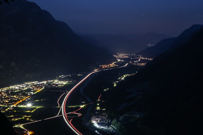
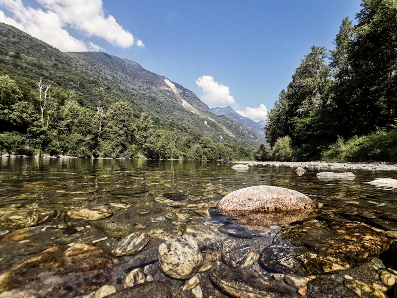
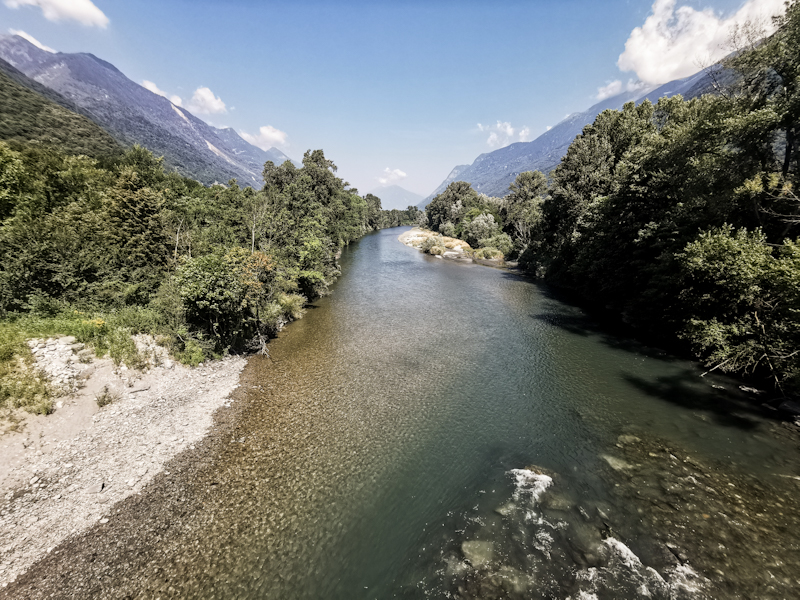
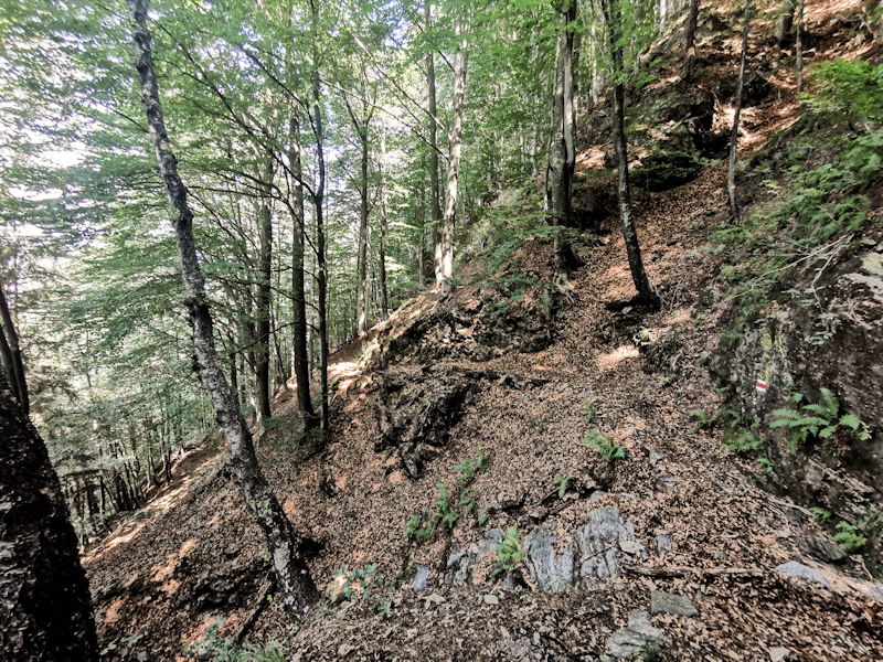
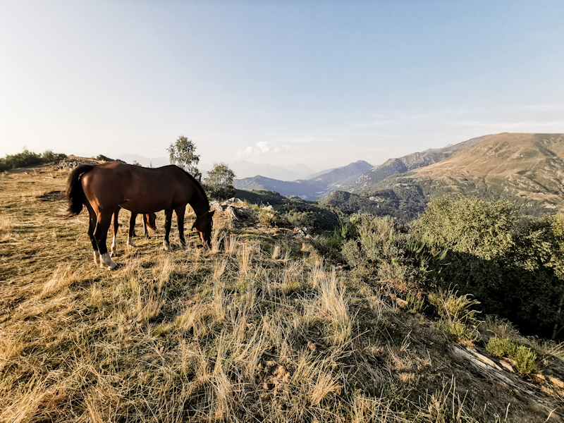
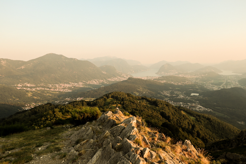
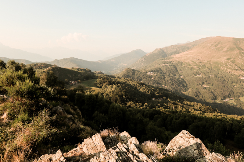
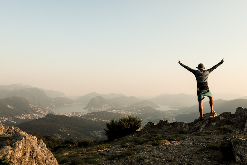
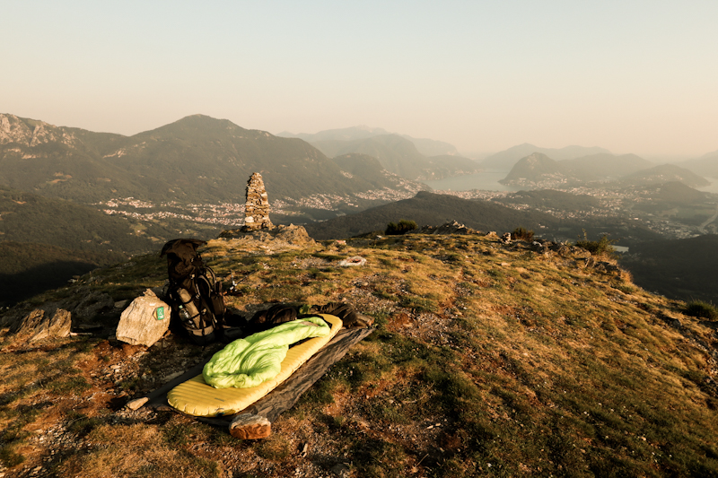
Day 164: Buongiorno Ticino
Gotthard Pass to Correco
Distance: 45km
Instead of the car noise, I fell asleep to the calming sound of a nearby stream. Albeit not warm, the night is not as chilly as expected and overall I had a decent sleep.
Gisela is already boiling water for her morning tea or coffee when I find my way out of the tent at 05:15. As usual, I skip breakfast, pack my tent and get ready to hit the trail. Now it's time to way goodbye to Klaus and Gisela. It's been a wonderful couple of hours with them and I'm still quite impressed how they managed to surprise me!.
More or less along Via Tremola, the old cobblestone road over Gotthard Pass, I steeply descent towards Airolo. My legs feel full of energy and I hardly notice the nearly 1000 vertical meters. One in Airolo, I follow La Strada Alta di Leventina, a continuous up and down, sometimes along roads, sometimes on hiking trails. Some of the quite rough with some exposed parts.
I hiked in the Canton of Ticino many times before and therefore, I am familiar with what to expect. Yet, I always find it interesting, how drastically the look of the villages change, once you are crossing the boundary. Less wooden houses, more houses made out of stone. Narrow alleys and generally a bit of a taste of italianita.
There's a lot to see and hence time passes by rather quickly.
After 45 kilometers I approach the spot I decided to stay. There really aren't any other options as the trail will soon start a steep descent into the valley. And after 1600 vertical meters climbing and 2800 descending I don't feel like walking anymore. Luckily, it's a wonderful, flat, grassy spot, overlooking the Leventina. There are houses behind me, but they seem empty. And even if there is someone around, I don't think they care too much. There's no road going here. Only a hiking trail. Therefore, I don't think they have many people passing through.
I am not really looking forward for tomorrow. There's the mentioned descent, which according to the map and Fredy is steep and rough. Then there's a 20 kilometer walk along the Ticino River. It will be stinking hot down there. Hopefully, there's a place to swim. Also there's the uncertainty if the military shooting ranges are active. I was told they would not be but this might change. A detour would add another day. Not what I am looking for...
Last but not least it most certainly (depending on the military) will be my second to last day in Switzerland. Per default I will have difficulties to keep my hiking spirit up.
But hey, let me worry about these things tomorrow.
There's a beautiful view to enjoy!
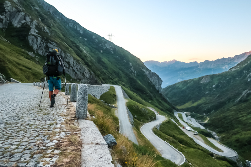
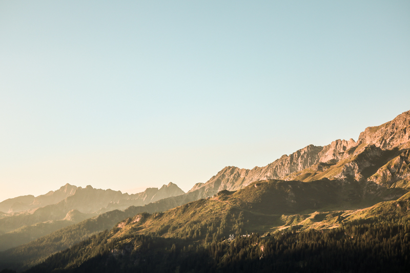
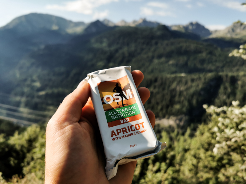
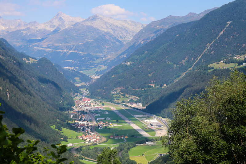
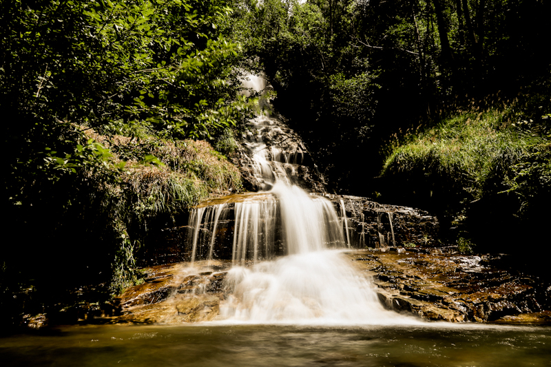
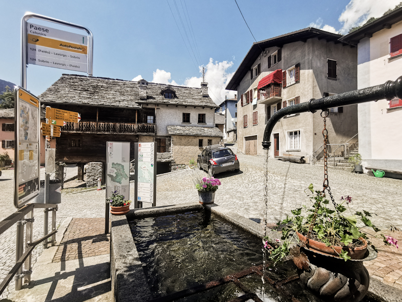
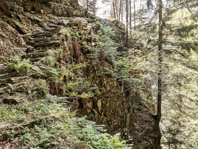
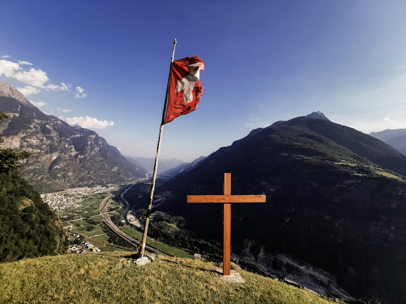
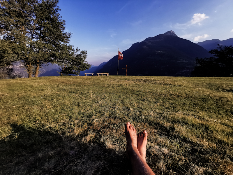
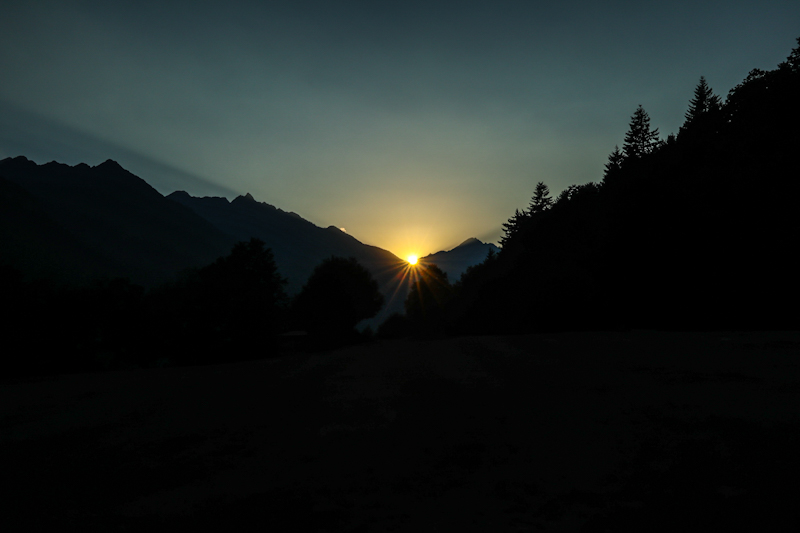
Day 163: A Wonderful Surprise
Meitschligen to Gotthard Pass
Distance: 30km
The stream of cars continued throughout the night. Yet, I get a good night's sleep, without paying the noise too much attention.
After a somewhat late start I continue my climb up to Gotthard Pass. Initially, the trail follows the highway. Not very enjoyable with all the traffic. I pass the time looking at the number plates. Mostly Dutch, German and Belgians, who probably drove through the night. In Wassen, I buy breakfast and lunch. I overhear two locals complaining about the traffic, which makes it hard for them to sleep. Completely understandable in my opinion.
Once past Göschenen, I enter the Schöllenen Gorge. A stunning stretch of walk. One of the, if not the most interesting walk on E1 so far as the trail is making its way up, past the Devil's Bridge and military defense bunkers towards Andermatt.
Andermatt is well known to me as I spent several weeks in the village during my time in the air force. So I skip sightseeing and only do a quick resupply for tomorrow. Soon I am on my way again. Shortly after leaving town, I notice two hikers sitting in front of a shed. They look familiar. Might it be... No, it can't be. So I continue. But I look again. They stand up, looking back at me. Then I clearly recognize Gisela. And Klaus! Two very good friends and hiking companions from South Tyrol. They were following my hike and decided to surprise me. Well, they sure were successful. It's an absolutely wonderful surprise. It feels so good to see them!
After a long hug and a beer, we continue to Hospental together, where they have parked their car. We agree to meet later on top of the Gotthard pass and camp up there together.
The following three hours to the top are special walk. Not only because of the sparse, rocky landscape but also because I am looking forward to meeting Gisela and Klaus on the pass again. My motivation for the last 500 vertical meters is high. Obviously...
Gotthard pass is super windy and busy. People from all over Europe are enjoying the views on their way to Italy, where they will spend a week or two on the beach.
At 16:00 I meet Gisela and Klaus again. After a drink we start looking for a place to camp. The wind is limiting the options. Yet, compared to Germany, there's an abundance of great spots. We settle in near Lago dei Morti. A bit more than 2000 meters above sea level. By far the highest point I have camped on E1 so far. Great views. A tranquil place away from the hustle and bustle.
What a wonderful day it has been with this unexpected surprise. Trail magic!
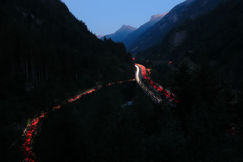
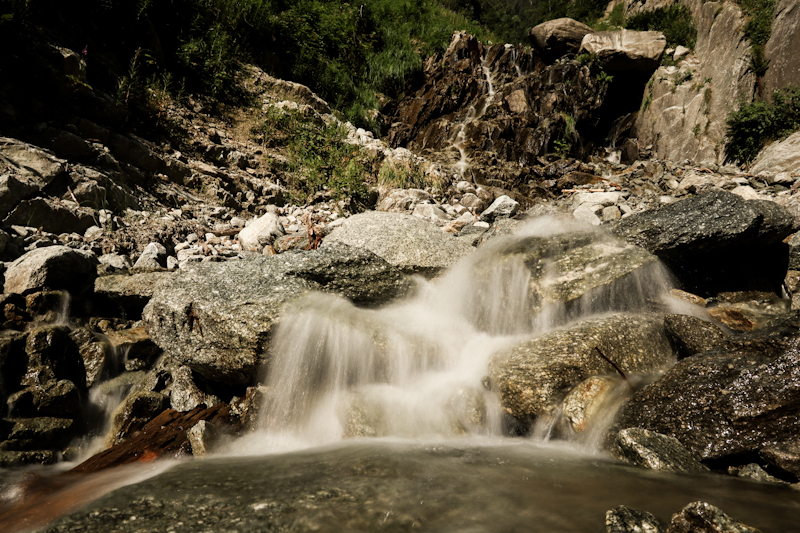
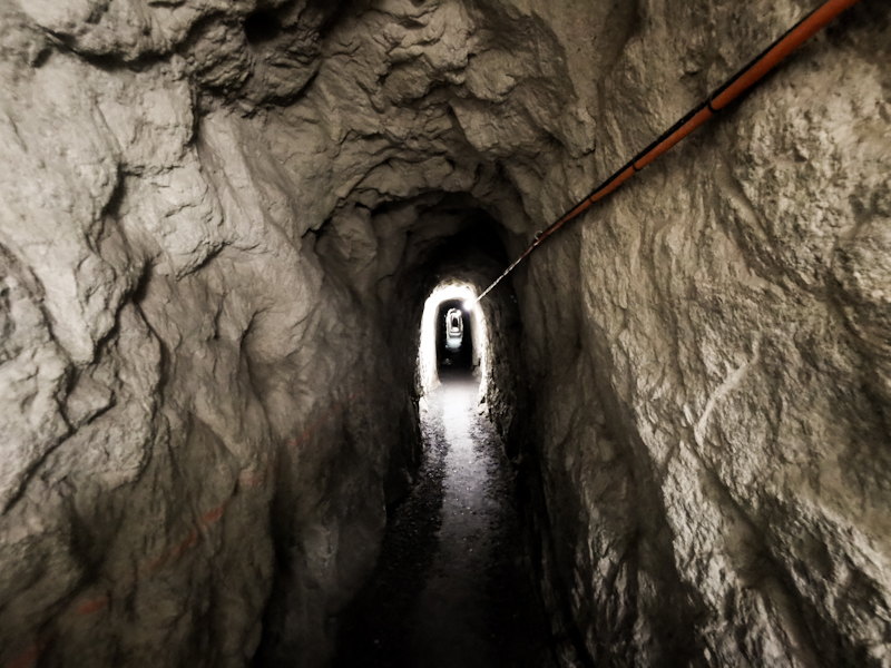
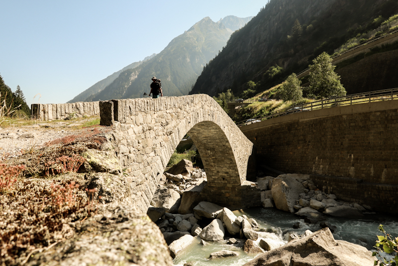
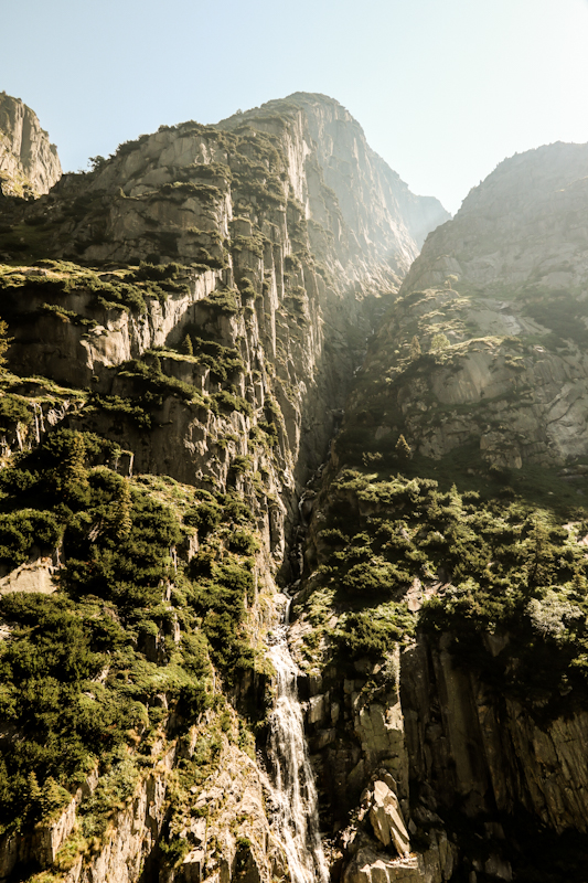
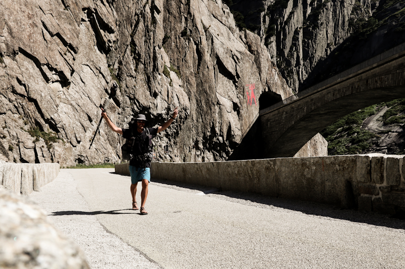
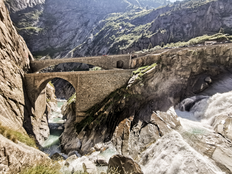
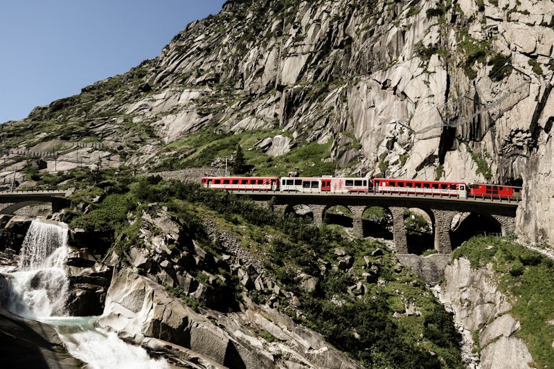
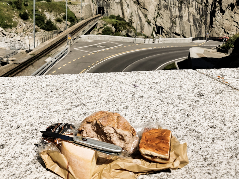
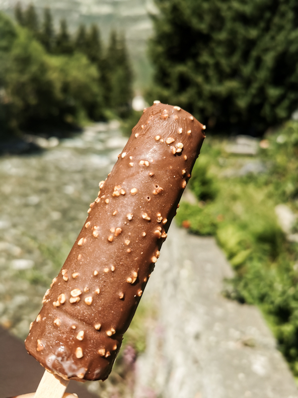
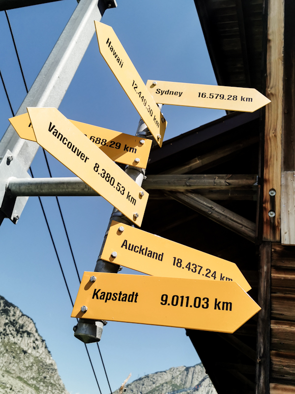
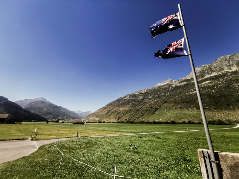
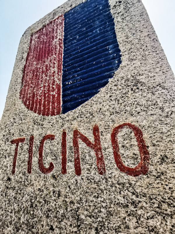
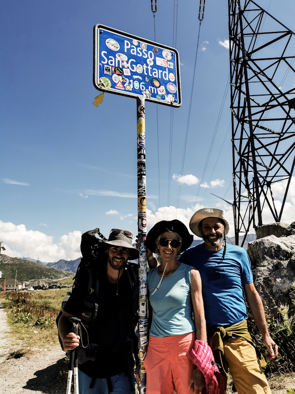
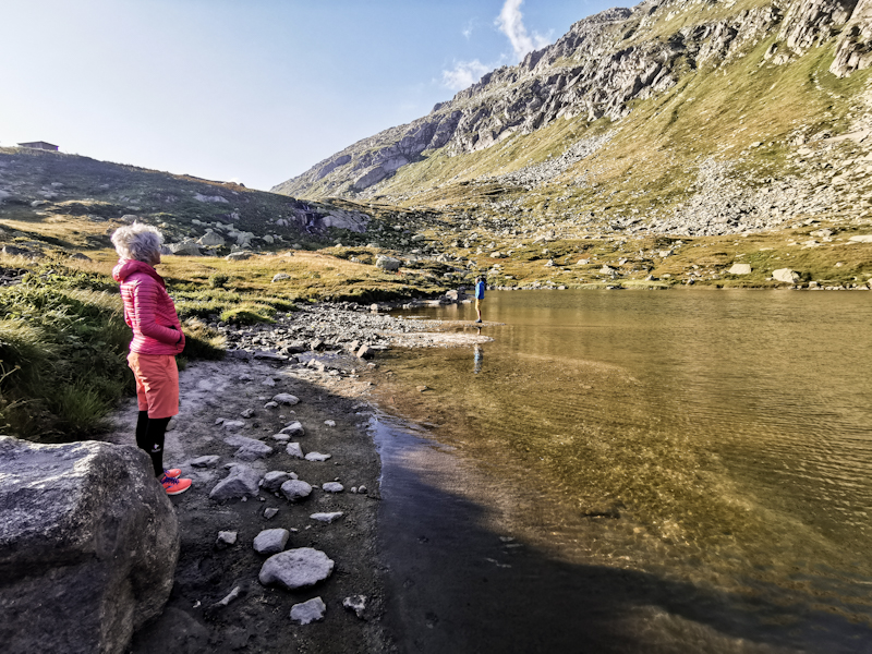
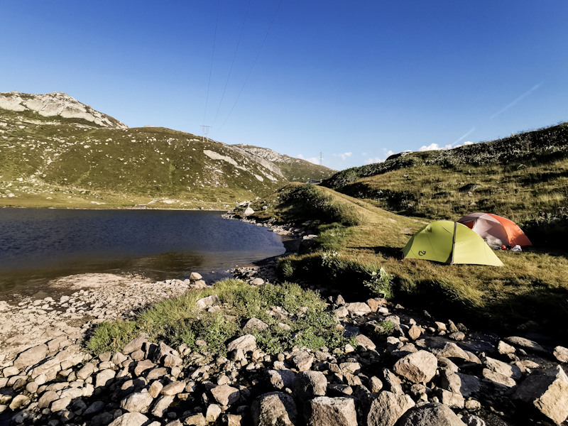
Day 162: The Heart Of Switzerland
Holzegg to Meitschligen
Distance: 45km
A surprisingly chilly and windy night doesn't make me sleep well and, lying awake in my sleeping bag, I decide to leave with first light.
The hiking day starts with a steep, 1000 vertical meters descent. It takes a lot of concentration. Dim light and after so little sleep. An unfavorable combination. Still, I eventually make it. A somewhat boring stretch follows. Up and down and up again. 3 hours after hitting the trail, Lake Lucerne comes into view again, far below me, shimmering in a wonderful Caribbean like emerald green. I take my first break, soaking up the view before descending steeply to Sisikon, from where I follow the Trail of Switzerland to Flüelen. The trail is notorious for being closed as this part of the lake is prone to rockfall and landslides. Luckily, I can walk it all the way. Sometimes along the busy Axenstrasse, through tunnels, along the lake or trails carved into the sheer rock face. All in all a great, diverse, enjoyable stretch with a lot of Swiss history in it. The Tellsplatte is right by the path, the Rütli on the other side of the lake. To my surprise there's hardly anyone on the trail. Good for me.
Right before leaving the lake I pass by a gravel beach, especially made for swimming. Obviously, I can't resist the water and go for two swims. A great feeling with the walls of rocks around me.
From there it's a quick hop to picturesque Flüelen, where I follow the Reuss River upstream. A flat, easy 20 kilometer walk along the river bank until Amsteg, where the valley is turning into a gorge and the trail is climbing away from the river. Yet, it remains easy to walk. I don't mind. The first half has been tiring.
Being a Friday afternoon and beginning of the public school holidays in many parts of Europe traffic is heavy. On the motorway as well as the adjacent the smaller highway. Dutch motor homes and cars with trailers are fighting with the climb, slowing down the traffic. I'm impressed how the engineers were able to fit two roads and a railway line into the narrow gorge. A technical marvel for me.
I pass by small mountain villages. The motorways visible and the cars noisy. It feels a bit weird. My camping spot is the same. The motorway and railway are to my right, the highway to my left. And there will be plenty of traffic throughout the night. But I don't mind. It's a suitable, honest ending to an interesting day.
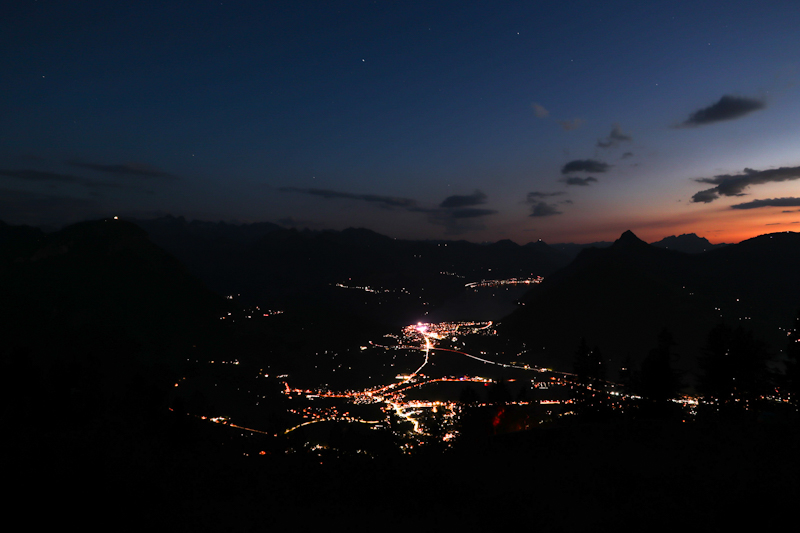
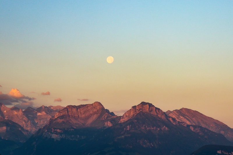
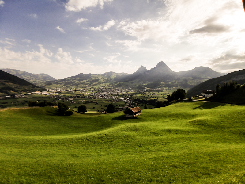
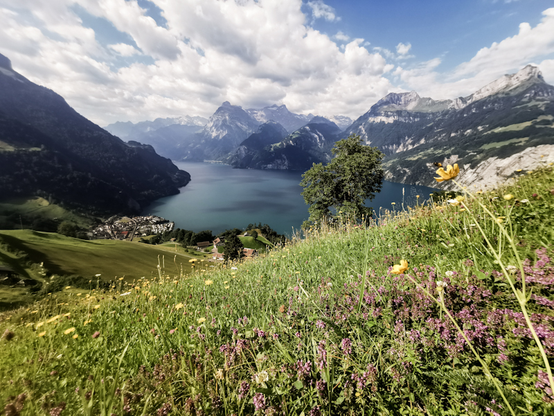
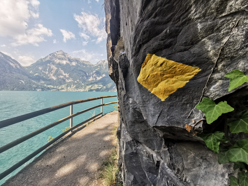
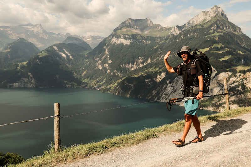
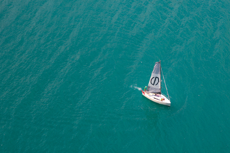
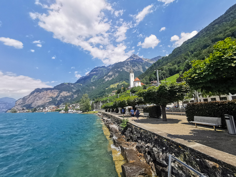
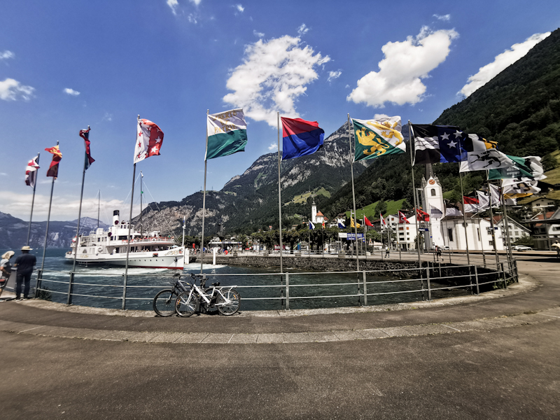
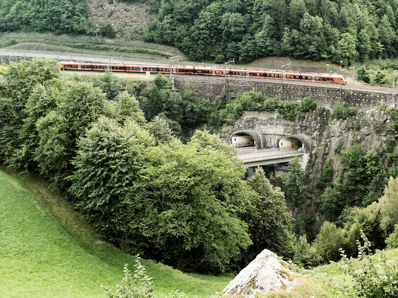
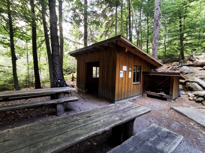
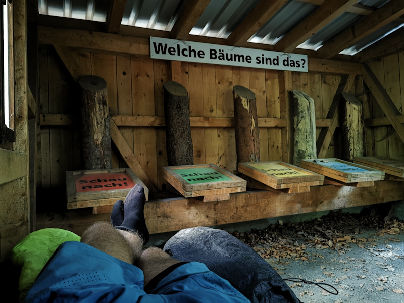
Day 161: The Mountains Are Calling
Wetzikon to Holzegg
Distance: 45km
After two days of dolce far niente I hit the trail well rested. Leaving home is generally not easy and there's no exception this time. However, it's only a week to the Italian border and a big chunk of it through spectacular terrain. The icing on the cake one could say. Therefore, I am actually in a good mood as I make my way towards Rapperswil. It's an easy start, the trail gradually ands gently descending to the Lake of Zürich. The dramatic early morning clouds give way to the sun as I cross the lake via one of, if not the, longest wooden footbridges in Switzerland.
The first climb to Meinrad Monastery goes surprisingly easy. Only my arms feel a bit tired. Maybe too much swimming the previous two days. After another descent I pass by the Lake of Sihl. There's a free bathing place but it's crawling with people. Car and bicycles parked scattered on the pasture around. I give it a wide berth and find a nice bench a bit further down the hiking path. I have the place for myself. I jump into the refreshing water. With an air temperature of 30 degrees it really does feel good. A long, mostly flat stretch takes me past Einsiedeln with its famous monastry and onwards to Brunni. The mountains are getting closer with every step. After hiking in flatter terrain since Norway, it feels quite exciting but I do show a lot of respect.
In Brunni the valley ends and I steeply climb towards Zwyschet Mythen, which offers fantastic views of Lake Lucerne and the Central Swiss Alps. It's windy up here. Yet, I enjoy every moment of it before making my way down in search of a good spot to camp.
.

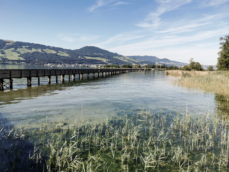
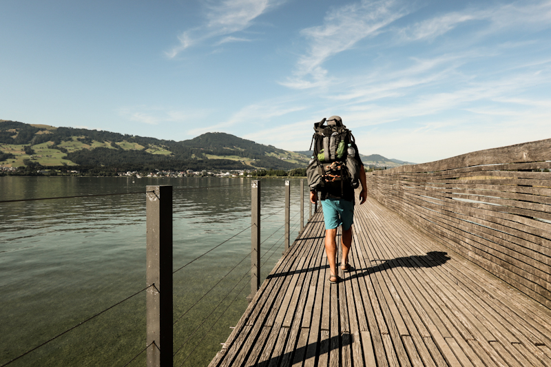
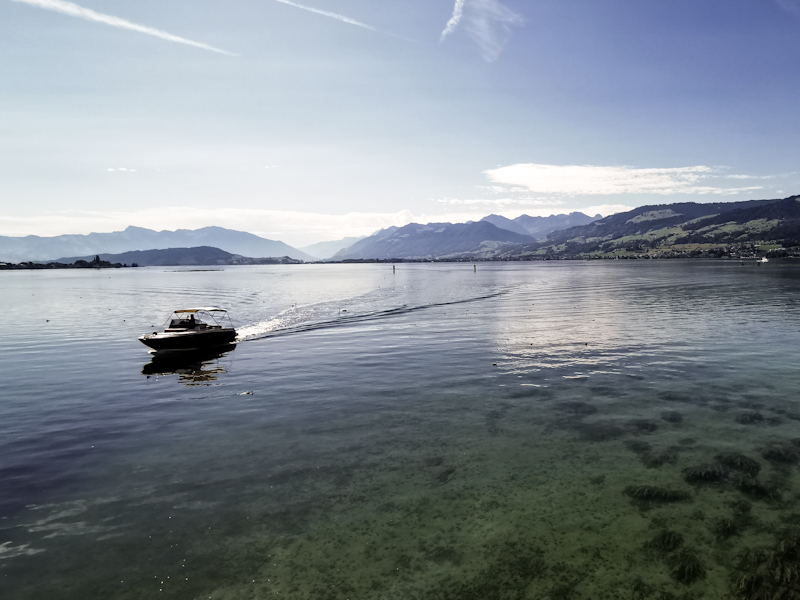
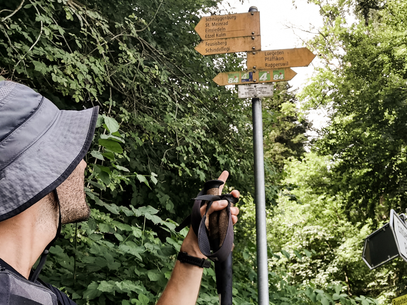
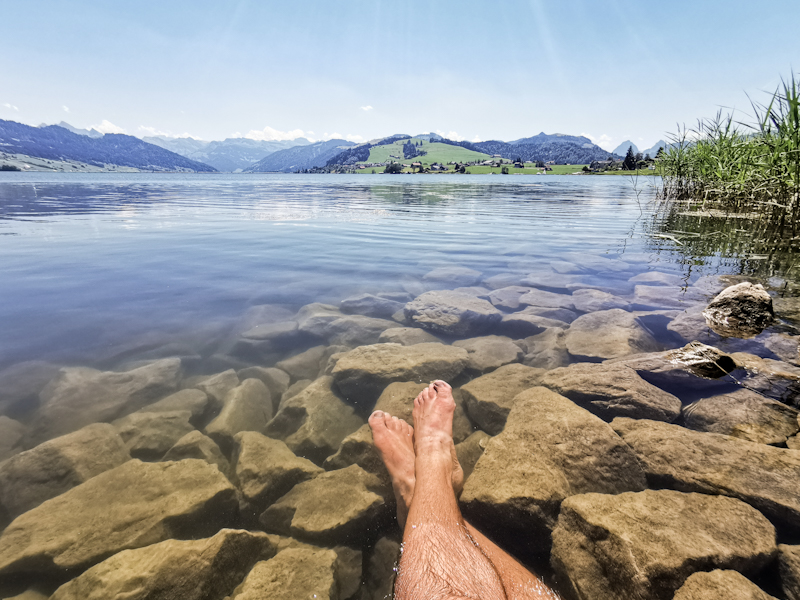
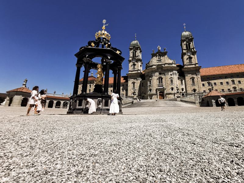
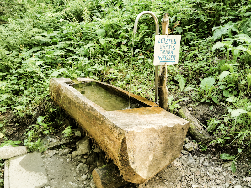
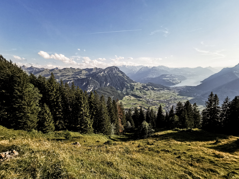
Day 160: Zero Day 2 With An Ode To My Backpack
I'm not in a rush. I have got to be back at work on the 29th. And it's only 250 kilometers to the Italian border. So I decided on taking another rest day.
To keep my blog alive, I thought I'd write a few lines about my old backpack.
Spring 2016: in anticipation of Te Araroa, I am browsing the web for a suitable backpack. As it is my first thru-hike, I don't really know what I am looking for. The only criteria is to fit my full frame camera. That narrows my search down considerably. I stumble across a review of a photographer and thru-hiker. He praises a backpack of Seekoutside. The Unaweep Panel Loader. It's somewhat love at first sight and I pull the trigger. Buying it without ever actually wearing it. Naive? Probably. But my gut tells me I will have a good time with it.
I pick my pack up while on vacation in Florida. I get rid of my suitcase and use the new backpack instead. Seems to fit perfectly. Yet, I'll have to find out on my training hikes.
The backpack fits. Its aluminum frame makes it rigid, which goes well with my hollow back and makes it feel lighter than it is.
That's good because it's not exactly lightweight. Neither is my other equipment.
It's not waterproof either. Not then and definitely not now. I learn it the hard way on one of my training hikes when I forget to attach a rain cover. Remember... I was a greenhorn back then.
Te Araroa is rough. I fall dozens of times, mostly right onto my backpack, I have to bush bash, crawl beneath fallen trees, throw the backpack over fences. Many times. I am not treating it gently. Yet, nothing ever breaks or tears on the trail. The company usually builds hunting packs. They are made to withstand the beating. And so is mine.
Many more hikes follow. A broken latch. Nothing else.
So far it probably joined me up to nearly 15000 kilometers. It could do more kilometers. That I am sure of. However, wear and tear is getting a bit of a problem. The cushioning on hip and shoulder straps is hardly existing anymore. I have to use a cut up camping mattress around my waist to still be able to wear it comfortably. Also I am worried something might break, something that might not be possible to properly fix. And on a thru-hike this is not what I want.
Therefore, I decided on purchasing a new backpack. Same company but this one is designed with thru-hiking in mind. Once more it is a bit of a gamble but the gut feeling is good.
The new pack is already waiting for me at home. Transferring my stuff from the old to the new one makes me feel a bit melancholic thinking of what I went through with it. All the ups and downs. It's become a part of me. A very important part.
Even when retired, it always will keep a special place in my heart.
It makes a first good impression. Sturdier than I thought (a good thing for me). The waterproof UltraPE fabric is not flimsy at all looks durable. The frame is familiar to my old one and it rides good even without the adjustments, which I still need to do.
The following 250 kilometers will be a good opportunity to this and to get familiar with it. I am pretty excited!
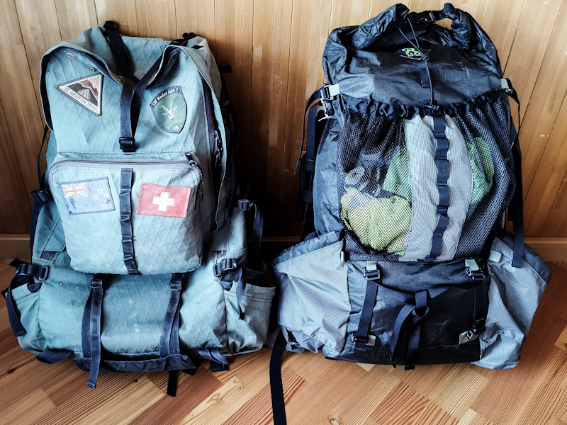
Day 159: Zero Day 1
A typical Zero Day. Not much going on. Chores, planning, relaxing. Giving my body some well needed rest.


Day 158: Home!
Gfellacher near Hörnli to Wetzikon
Distance: 20km
The sunrise does not disappoint. The early start was well worth it.
Looking east and south, a wonderful mountain panorama is nicely lit by the early morning sun. The mountains seem close. So close, it feels like I can touch them. With such a view, walking goes much easier than yesterday. It's familiar territory. Terrain I know, terrain I have been walking and running around for years. Thru-hiking it feels special. In Scandinavia and Germany I initially felt like an explorer in inkonwn territory. Here I feel at home.
As it's a short day to Wetzikon, the place I spent my years as a teenager, we are not in a rush. We take plenty of photos, soaking up the views. Yet, as we get closer to Wetzikon and the legs start feeling heavier, both of us are looking forward to putting our feet up.
I am feeling less emotional than I thought I would, when I finally arrive in Wetzikon and spot the house. Most probably it will take a while to really realize than I just completed a walk from Nordkapp. 6000 kilometers. Obviously, I split up the walk in three sections. Yet, it's still a bit of an effort. A rewarding one with a wast amount ofmemories. And these, mostly great memories, make we want to hit the trail again and head south as quickly as possible.
My itchy feet need to stay still for a day or two though as I want to savour the moment. Savour home. There won't be another "home" on E1.
However, it's business before pleasure. Laundry, resupply, exchanging backpacks,... . Especially the exchange of my backpack consumes a bit of time. The first impression of the pack is very good. Still, it's also different to my now retired pack, which I carried for roughly 15'000 kilometers and which I got so used to. Every strap, every pocket had its own purpose. I have to rearrange myself. I'm looking forward to it, but it will take a while to customize the pack until it fully suits my need.
Eventually, I need a break. Time for an early dinner. Rösti with broccoli, eggs and Fredy's famous bean and Feta salad. My first real meal after nearly to weeks. I very much appreciate it.
The rest of the day I do what I do best at home: feeling comfortable. Feeling at home.
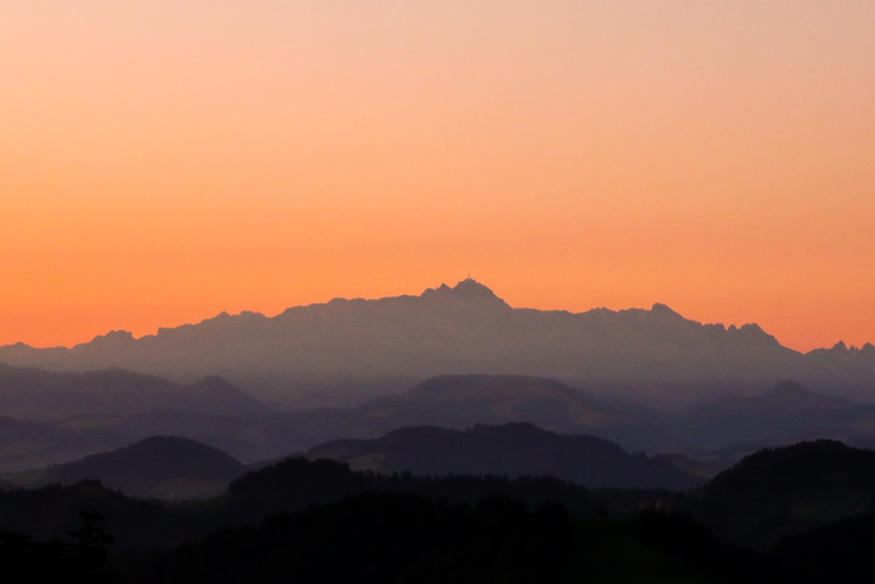
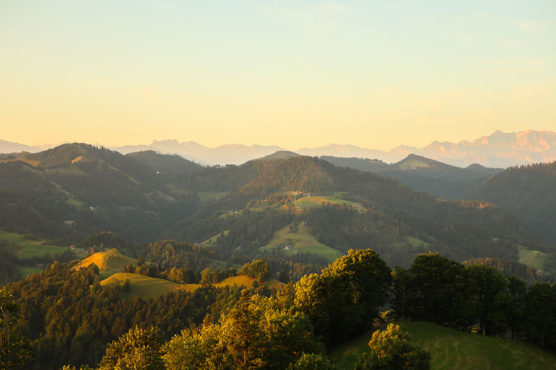
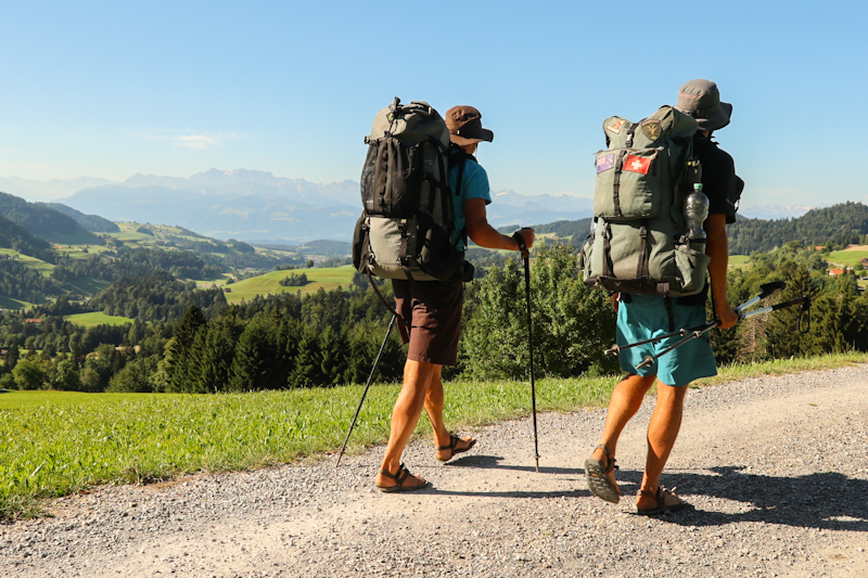
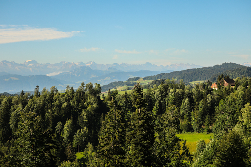
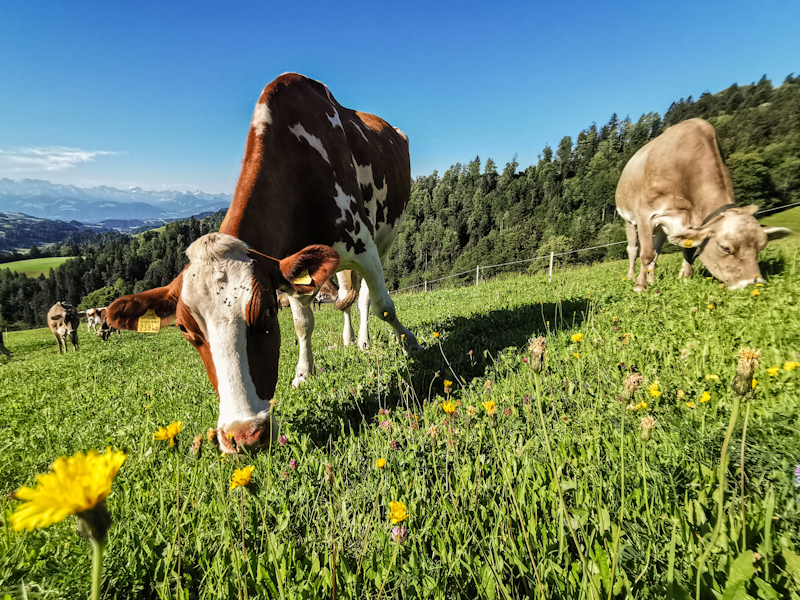
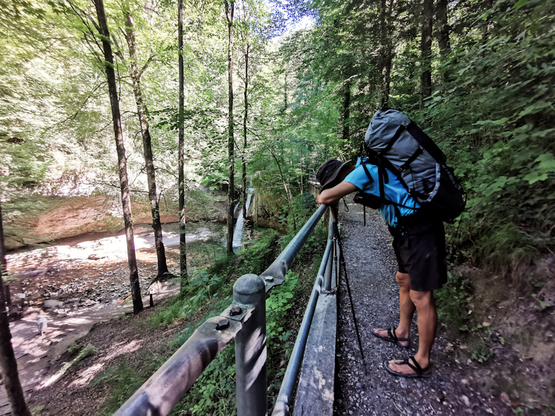
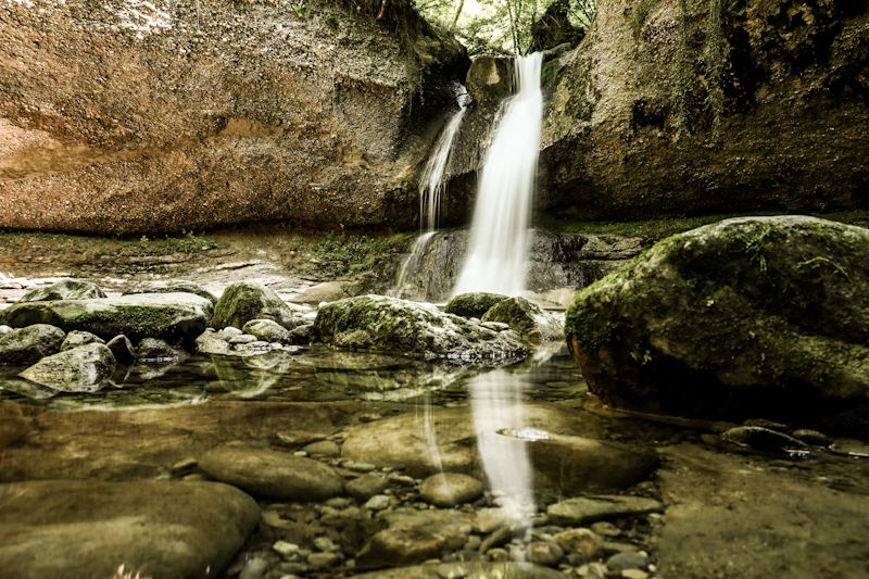
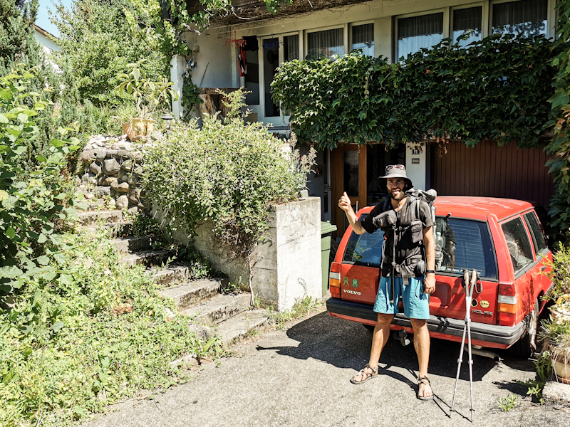
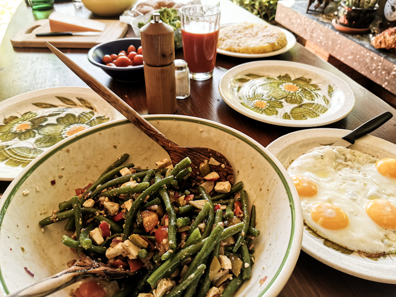
Day 157: A Tough Job
Lippoldswilen to Gfellacher near Hörnli
Distance: 35km
Do we make it to Wetzikon in two days or one day? That is the question.
After the first couple of steps the answer is clear: two days. After the two long, tough previous days, my legs still feel tired and, after discussing it with Fredy, we have to admit another 55 kilometer day would put me close to my limits. And there's really no need to do hurry. And I have the impression Fredy is secretly relieved with the decision as well.
The weather is muggy. Cloudy, warm with only light winds. The scenery a mix of farmland and forest. Nothing special.
As we get closer to the Hörnli, a 1100 meter hill located in the highlands of Zürich, the scenery gets more interesting, the terrain steeper. Also the clouds give way to the sun.
Progress is good but, despite the good company, it is a bit of a constant fight for both of us. Second to last day for me until reaching another milestone. Home. These second to last days have never been easy for me mentally. I made this experience on other hikes before. Once we arrive at our designated camp spot, I am mighty grateful. It's clear at first sight though that fitting two tents there will be a tight fit. As the forecast predicts a clear sky for the night, I decide to bivy. But until we can settle in for the night, it's still a while. We have a nice fire going, cooking dinner over it. At some point a family of four is joining us for two hours. It's something I got used to while sleeping in shelters for the last couple of weeks. For Fredy, the greenhorn however, it's mildly annoying. Completely understandable.
Once they have finally left, a spectacular sunset follows. More or less right in front of it: Feldberg. The highest hill of the Black Forest. Feels great to see it again so clearly 5 days after watching the sunrise from up there.
Slowly but surely we are getting ready for the night. Once in my sleeping bag, I realize how happy I am with the decision not to rush and split the hike into two days. Otherwise, we would not have seen this fantastic sunset.
Tomorrow, it will be an early start. Watching sunrise from Hörnli. Hopefully as nice as this sunset.
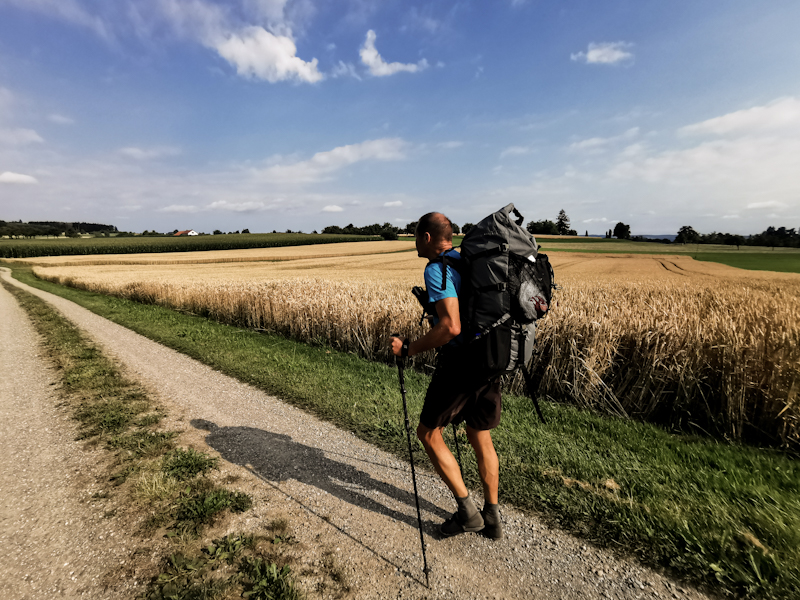
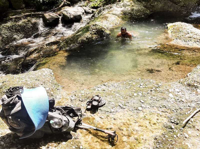
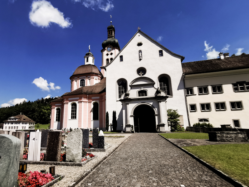
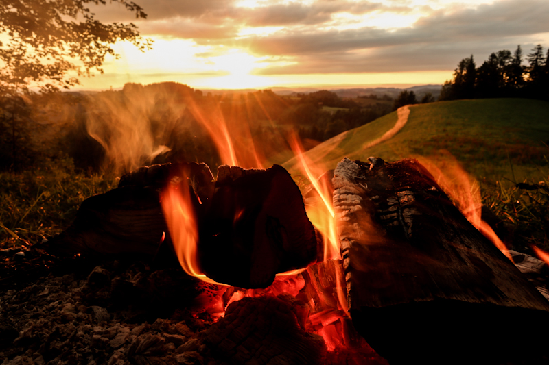
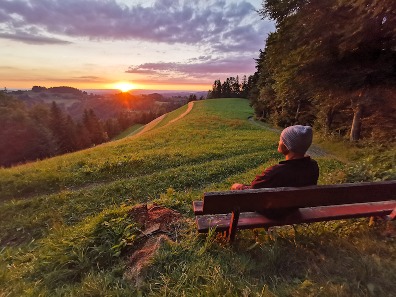
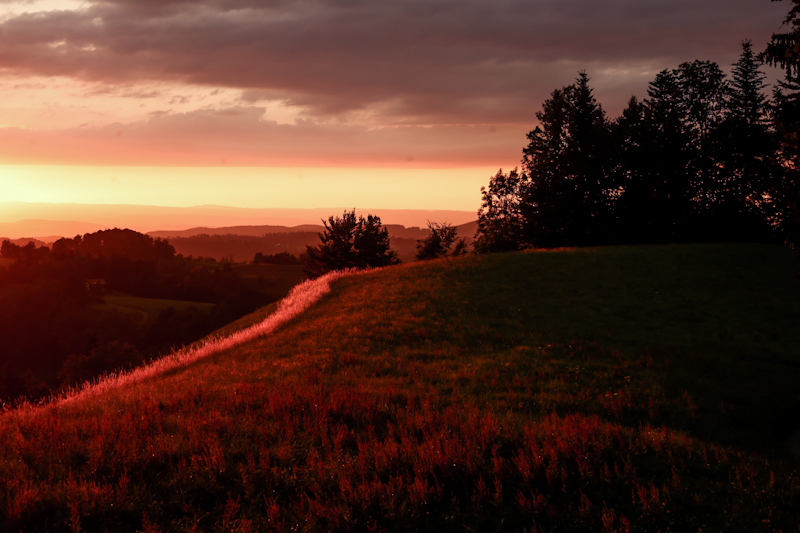
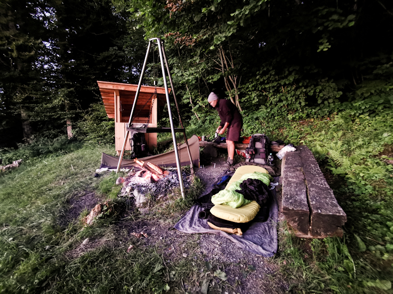
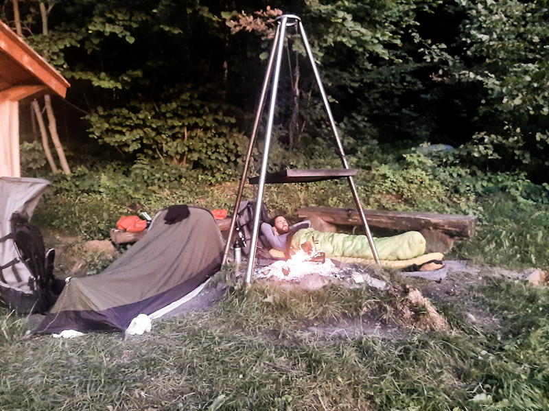
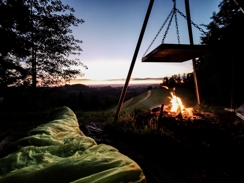
Day 156: Grüezi Schwiiz (Hello Switzerland)
Friedingen to Lippoldswilen
Distance: 55km
My last day in Germany... And it's not an easy start into the day. I am feeling stiff, my legs tired after yesterday's long day.
Still, I plant one foot in front of the other, making my way towards Konstanz.
Only half an hour into my hike, I pass by a inviting looking lake. Swimming with explicit permission of the council only a sign says. Saturday at 07:00 and anyone in sight, I take the risk and go for a swim in the bright blue, warm lake anyway. Oh man, it makes me feel so much better. Energized.
Lake Constance is getting closer quickly. Once close by, I want to follow it as much as possible. So I descend down steeply to the lake only to realize the lake side track is closed due to landslides. After another swim I climbe back up. A 2 kilometer detour. It was worth it though because of the swim in a deserted shingle beach. The detour takes me through a golf course, me not being entirely sure it's so much saver with all the golf balls flying around.
Eventually, it's back to the lake for a kilometer before the trail is closed again. Screw it. I follow the closed track. Initially difficult than unwalkable.
I drop down to the lake, where I follow a narrow shingle beach. A couple of times I have to navigate around fallen trees. Hip deep I tip-toes through the water. My backpack barely above the water. Who would have thought that would happen on E1 in Germany. A Te Araroa flashback. Wonderful. I enjoy it.
After a couple of 100 meters and disturbing the peace of a young nudist couple, who for sure did not expect anyone back on track. 10km to Konstanz.
It's busy. I didn't expect anything else. Saturday evening. I do my resupply then start my search for Fredy, my dad, who. will join me on my hike to Wetzikon. How exciting. Really looking forward to it. Eventually, we find each other. It feels great to see him again.
Together we are looking for an E1 plaque, placed, where E1 has been founded. No luck. We have to go. 19:00 and still 10 kilometers to go. It will be a late arrival. Border crossing is a breeze. It feels not as special as I expected. Maybe because I am in the thru-hiking mode again. Keep going to make it to the camp spot before night falls. Fredy and I do lots of talking. Catching up on what has happened during my time away. Time flies. Unfortunately, we don't make it before darkness arrives. With headlamps on we find our campspot, nicely located near the confluence of two rivers. There's a fire place and being back in Switzerland, it means there's also firewood provided. That's something I love about Switzerland. I have to make use of it and light a fire. After a late night snack we retreat into our tents. I fall asleep almost immediately.
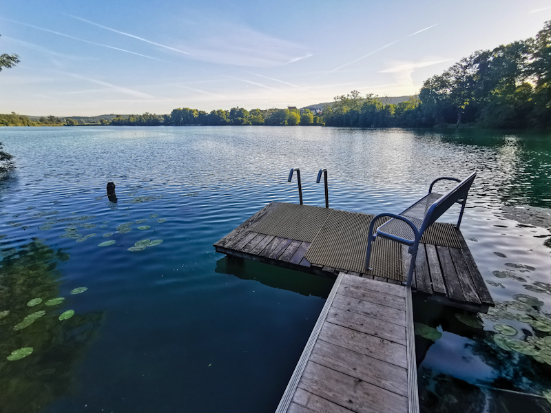
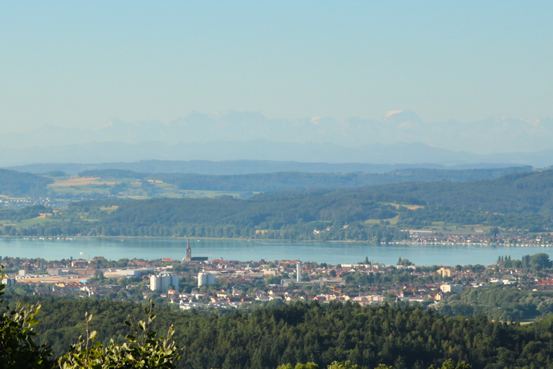
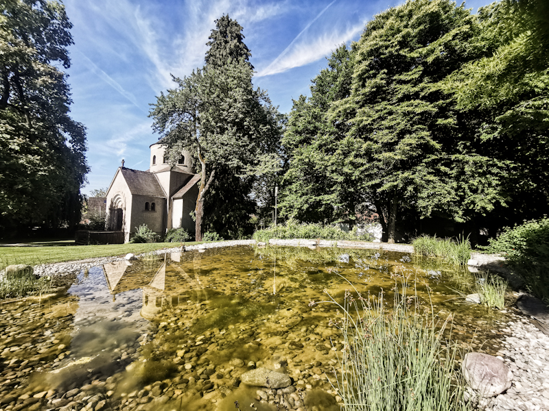
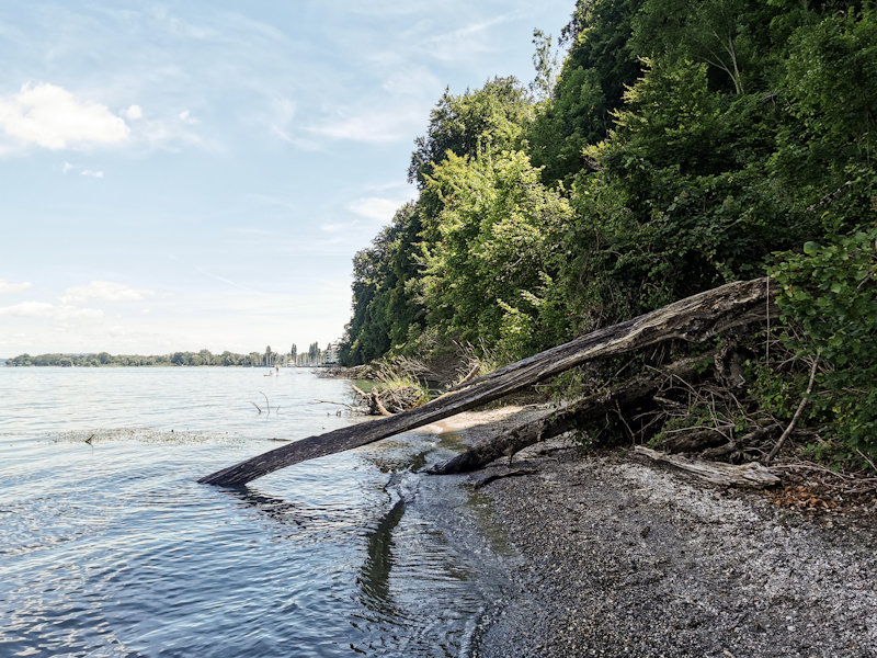
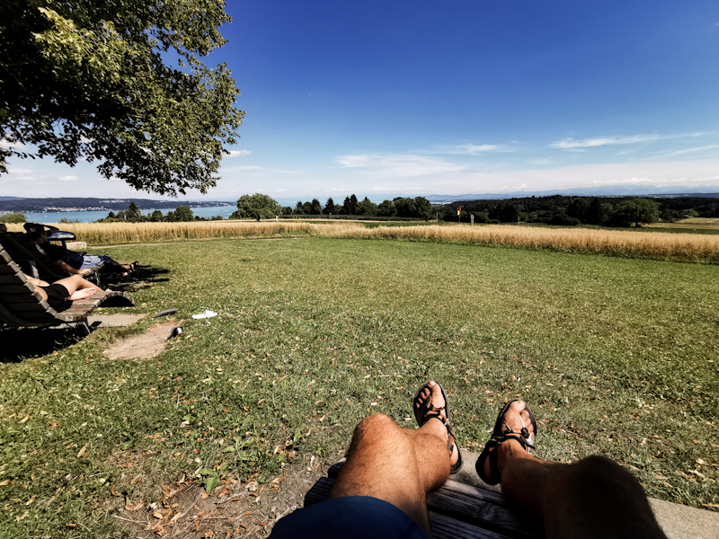
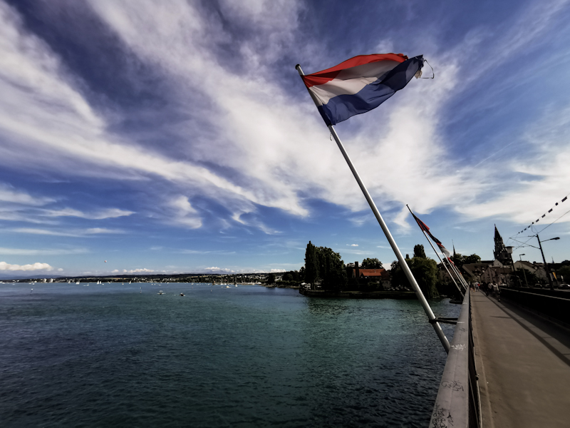
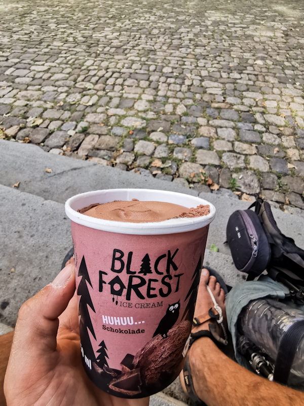
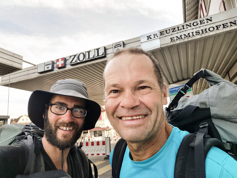
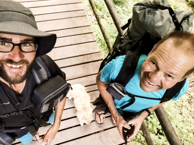
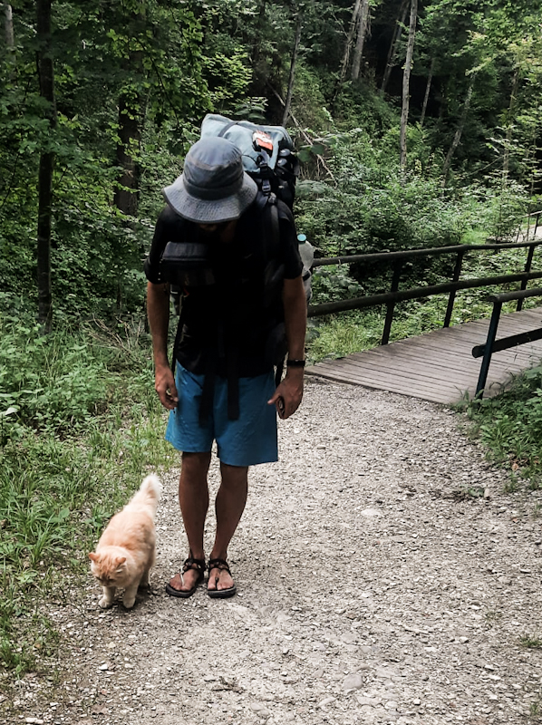
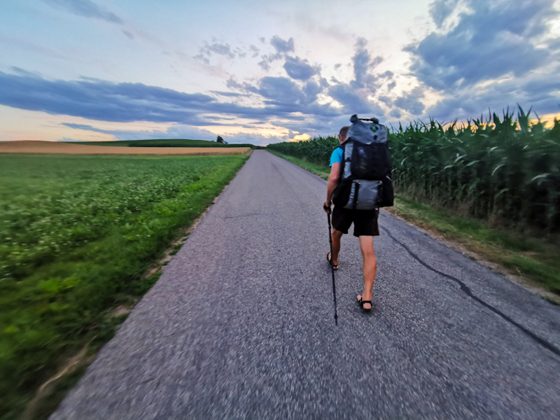
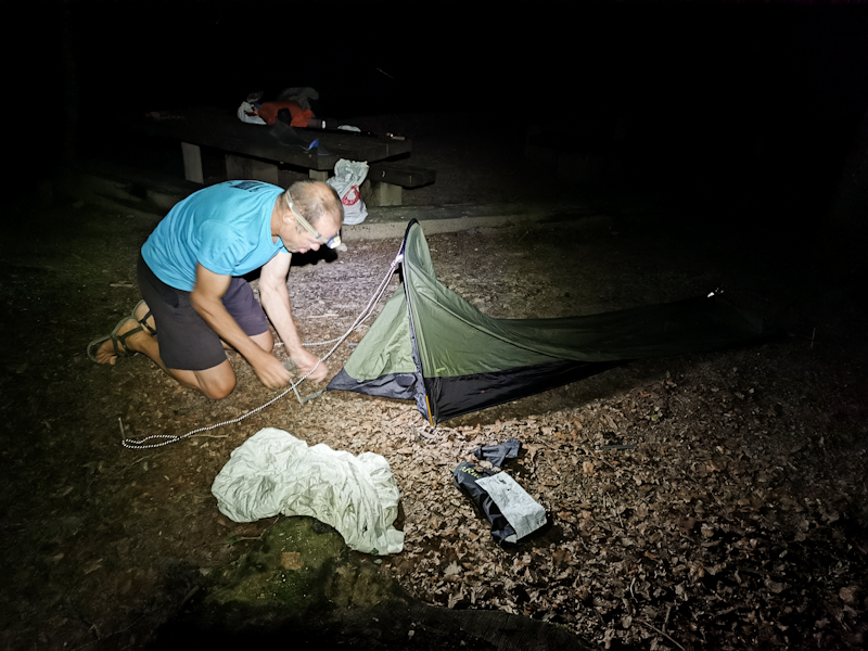
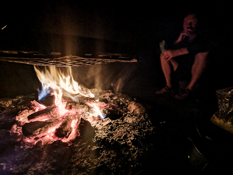
Day 155: Meandering
Buchberg to Schlosshof Friedingen
Distance: 55km
Landscape wise, today could not have been more different than yesterday.
Open terrain is offering great views throughout the day. Walking never gets boring.
My highlight probably the Hohenhewen Hill with a spectacular 360 degree view from the observation tower.
Once I can spot Lake Constance in the far distance, my motivation skyrockets. Home is really getting close now.
All the views come at a price: the trail is meandering through the landscape, leading me over basically every hill and past every ruin in the region, probably adding 15 kilometers to the most direct routing. While it surely adds to the attractiveness of today's hike, I consider all the detours a bit too much. For a hike across Europe I'd expect a slightly more direct route. Yet, I feel good, all the up and down don't trouble me too much today. My legs are working like a charm.
It's already 19:00 when I pass through Singen. A city without an old town, without charm. Not a city I will remember.
From there it's only 5 kilometers to my 1nitetent host on the Schlosshof Friedingen. My host Matthias, in his mid-twenties, is leasing the farm on a 70 year contract, doing social agriculture. I am quite impressed by his engagement and vision. I'm sure his farm will become a success story.
We keep talking for quite a while until I excuse myself. I retreat into a staff chamber, which Matthias kiny offered me to sleep in. My last night in Germany. I'll sleep like a king tonight.
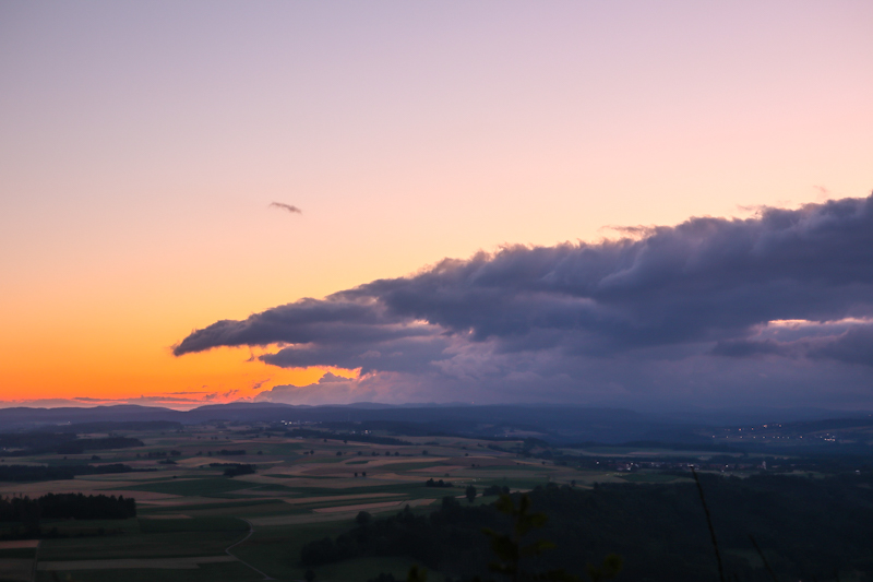
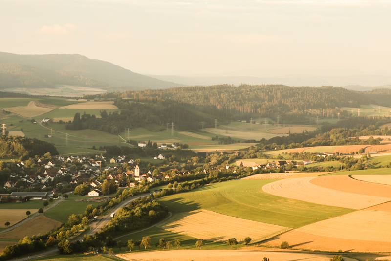
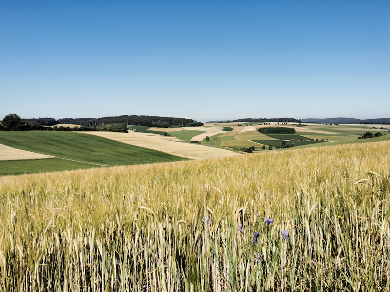
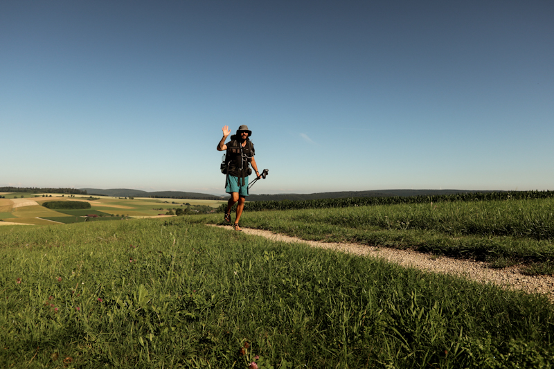
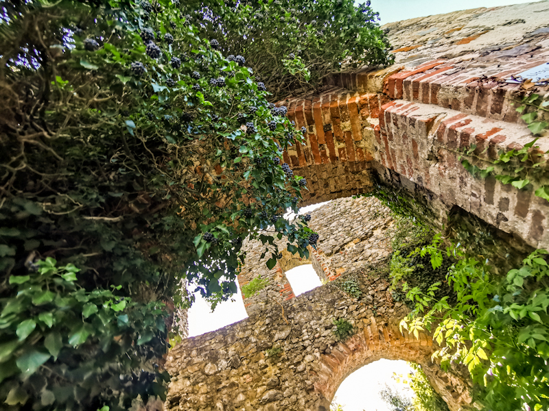
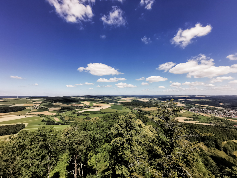
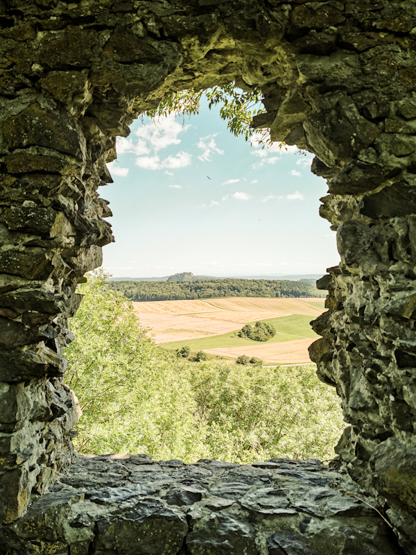
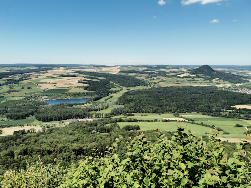
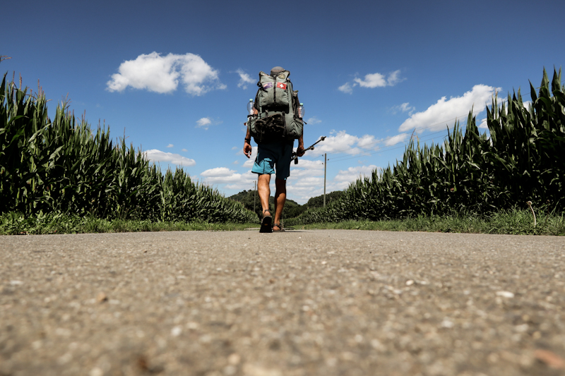
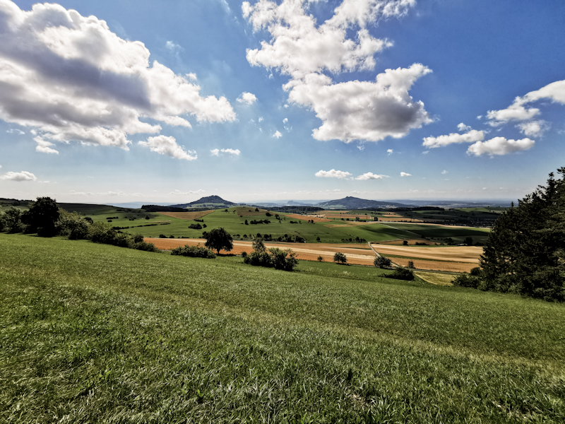
Day 154: The Gorge
Riesenbühl to Buchenberg
Distance: 40km
I fell asleep before the concert came to an end but woke up again, when some French showed up and decided to make a fire and play the guitar. At midnight. I think they didn't notice me until I turned in my sleeping bag so I would face the sky. A busy sky. Full of stars, the milky-way, aircraft, shooting stars and I assume satellites traveling through the space at high speed. Even though I was a bit annoyed with the French in the beginning, the sky was well worth the disturbance. They eventually left and I fell asleep again soon after.
It's a chilly morning as I make my way down to Wutach Gorge. Especially, when the sun is hidden behind the trees. Following the Gorge would make the big chunk of today's hike. Initially, it's rugged, wild. I love it. The trail then gets wider and easier to walk as it climbs away from the river and out of the gorge. Not what I was expecting. Luckily, it descends back down again after a couple of kilometers. It's where the trail gets awfully busy. Old people, young people, scouts, sporty people, fat people. An interesting mix. Some seem to deal with blisters, some are struggling with the trail, which is narrow and steep at times. Overtaking and crossing is not easy, progress painfully slow. At one point, my second pair of Luna sandals bite the dust as well. An unfavorable moment to do that on a busy narrow section. Walking is hardly possible so in a quiet moment, I sit down, do a quick and dirty fix with a cord I have in one of my pockets. Takes me less than a minute but I am actually mildly impressed with the outcome. Looks shity but works surprisingly well. I keep on going until I reach the end of the gorge trail. 15 kilometers of busy madness. And it's only a weekday. Weekend will be crazy.
The rest of the day I am mostly by myself. What seems like a multi-day hiker is walking with a cat on a leash, filming herself with a selfie stick. While I consider myself as a fairly open minded person, I don't really see the point if going for a multi-day hike with a cat.
After a last steep climb up some stairs (or rather a ladder, I'm not sure) I reach Blumberg, where I do resupply and afterwards tackle the last climb up to Buchenberg, only 5 kilometers from the Swiss border. It's mostly cloudy but the views are quite dramatic. I settle in the shelter, getting ready for bed.
It's been a tough day. The gorge was interesting. A welcome change, a interesting walk. Despite all people down there.
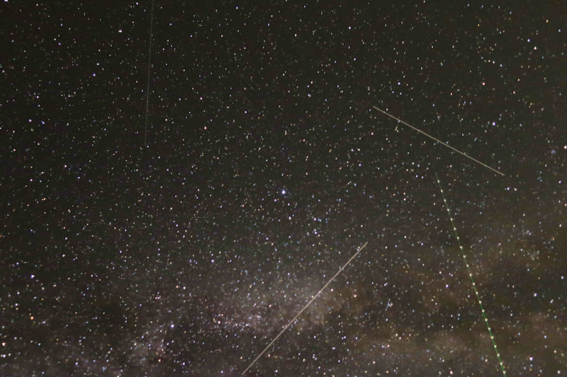
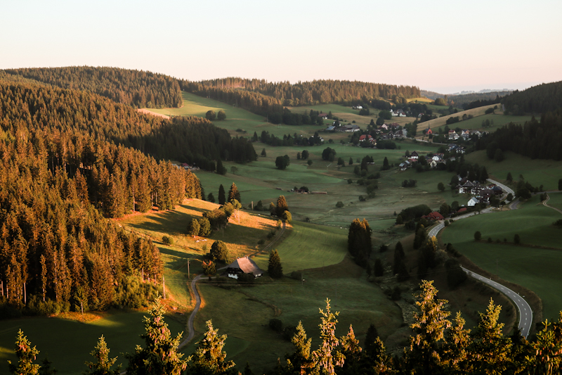
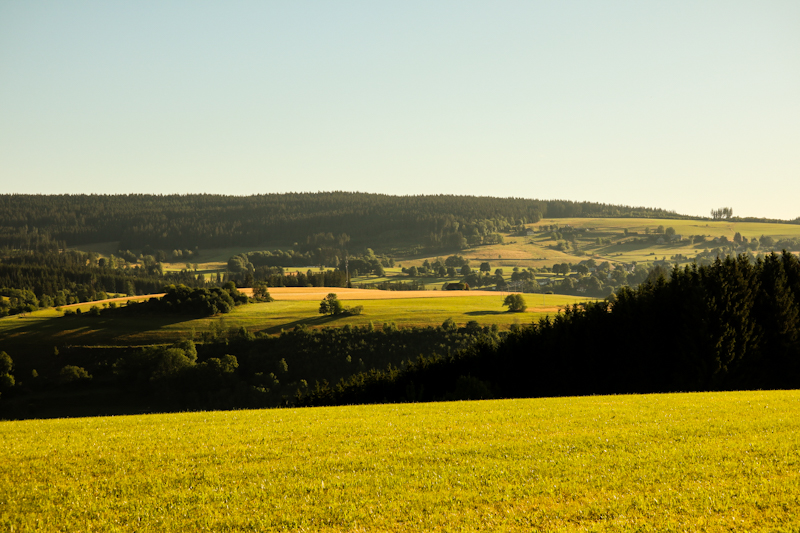
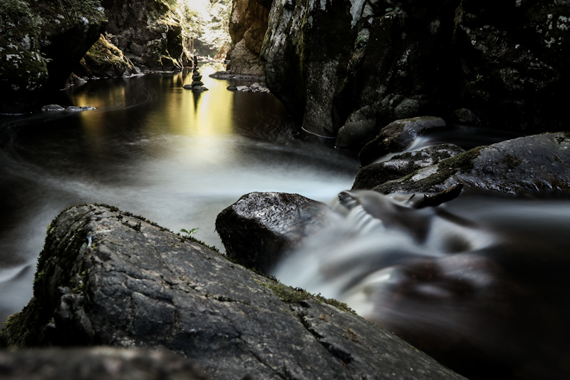
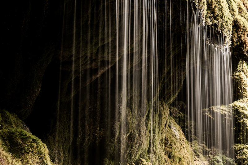
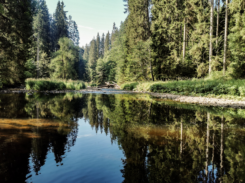
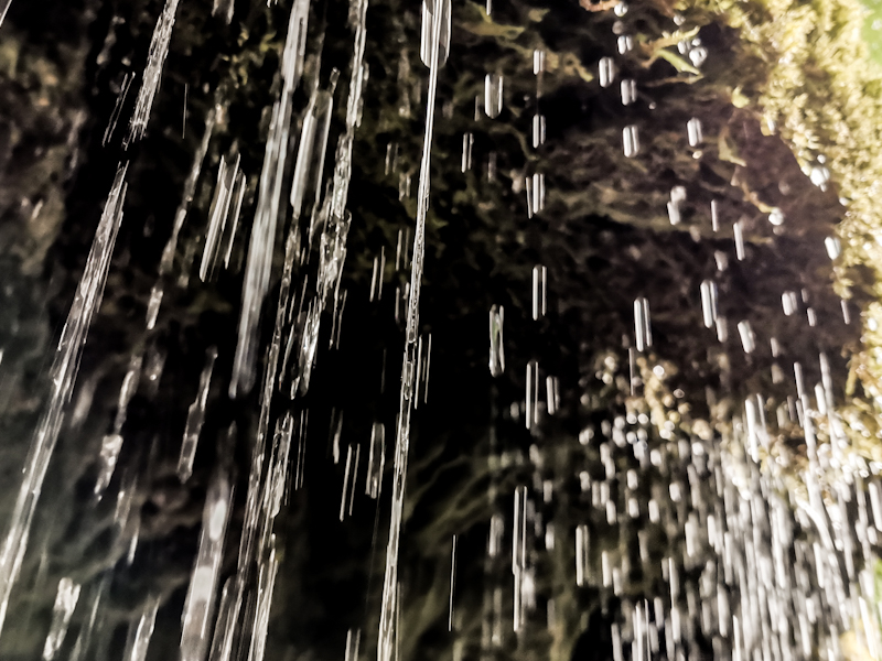
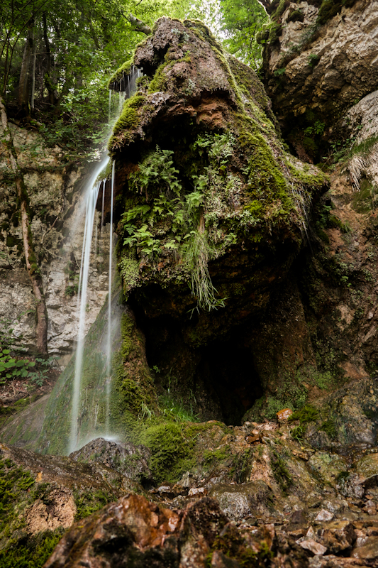
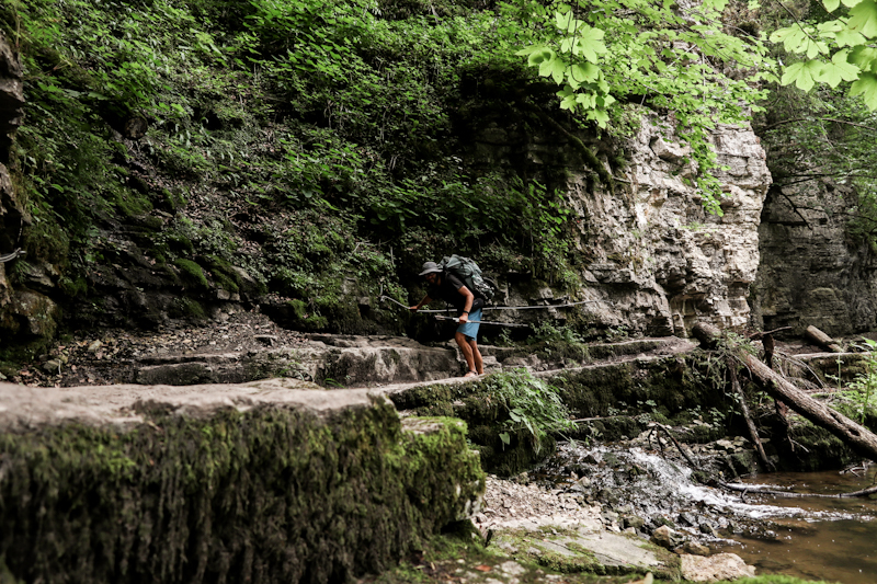
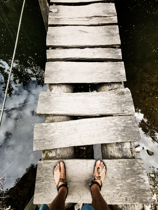
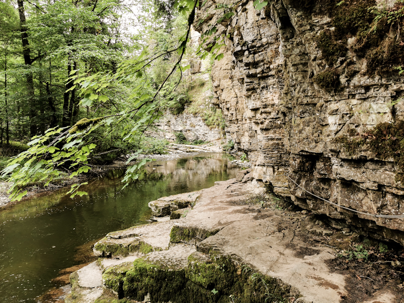
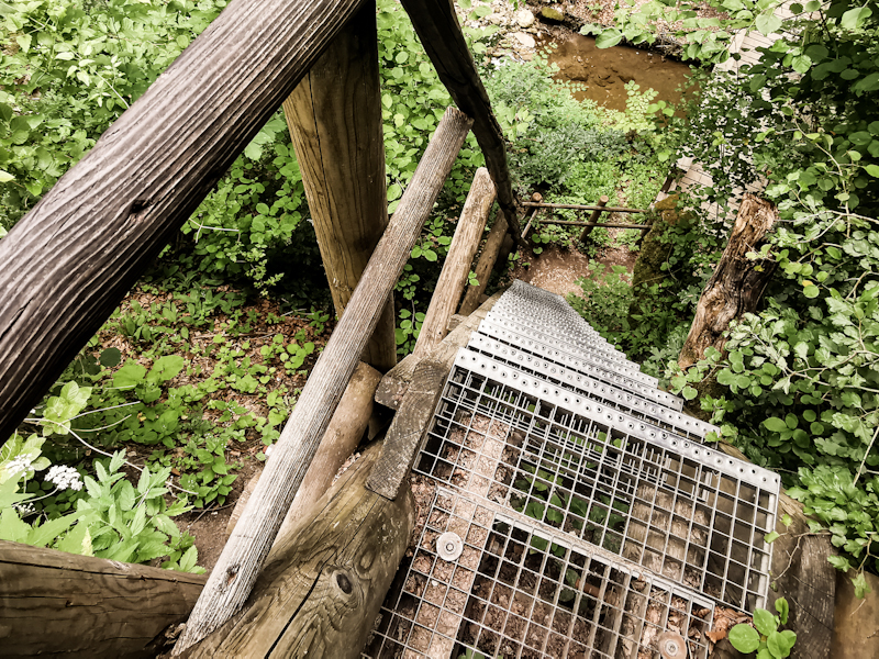
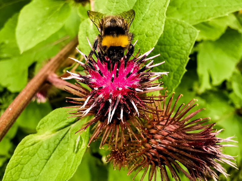
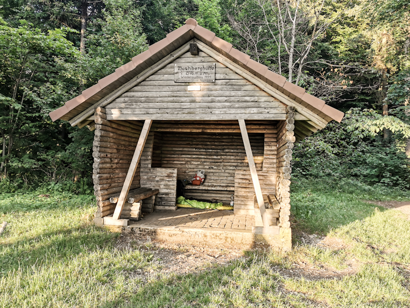
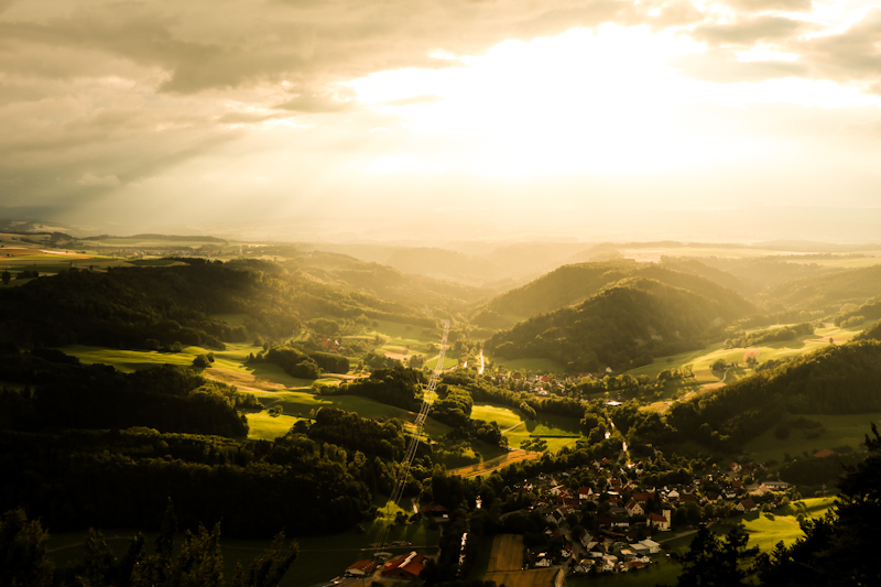
Day 153: Two Early Birds
Rufenholzhütte to Riesenbühlturm
Distance: 30km
02:17 - 17 minutes after waking up we leave our shelter for the top of Feldberg. It's a rocky track with plenty of roots. Care needs to be taken. Yet we have a good pace and at 03:30, we reach the top. The horizon north-east of us is already turning dark blue. A strangely looking, whited colored cloud standing out in the sky, adding a bit of magic.
With 8 degrees Celsius it's chilly. I keep myself warm with some push-ups and a Piz Palü tea, which I have been carrying since Flensburg. Now it's a great time to finally drink it. Up here on the highest point of E1 so far.
After a mediocre sunrise I say goodbye to my new photography and hiking friend and head down towards Schluchsee. A long, shallow descend. In the not-far-distance-anymore, I am able to make out Eiger, Mönch and Jungfrau, some more icon Swiss mountains.
.I'm planning on a sort day today. I take my time, plenty of photo stops and once at the lake, several swimming stops. There are plenty of possibilities along the way. The water of Schkuchsee colder than the one of Titisee though.
As I approach the village of Schluchsee it is getting busier. I have a stop at a public toilet, the post office and at the tourist information, where I find a power outlet on a lower floor. As it's only another two kilometers to my destination and the time is only 15:00, I spend some time planning my next few days while my phone is charging.
It looks like I will cross the border into Switzerland on Saturday evening or Sunday morning, making it to Wednesday by Sunday evening (with a very long day) or Monday.
With my batteries sufficiently charged, I set off again. I get some groceries for tonight and tomorrow and tackle the last climb up to Riesenbühl. Short but steep.
The views from the observation tower are nice, unfortunately the Alps not visible. The day turned out to be surprisingly hazy.
As it's windy as well, I descend again after a quick snack. There's a shelter to spend the night at the bottom of the tower.
There are still some people around as I am writing these lines. But with the sun having disappeared in the haze, I guess it will get quieter soon, which would be appreciated in order to catch up on some well needed sleep after a long day.
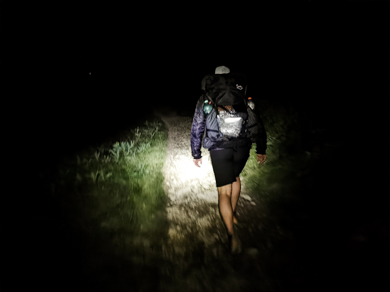
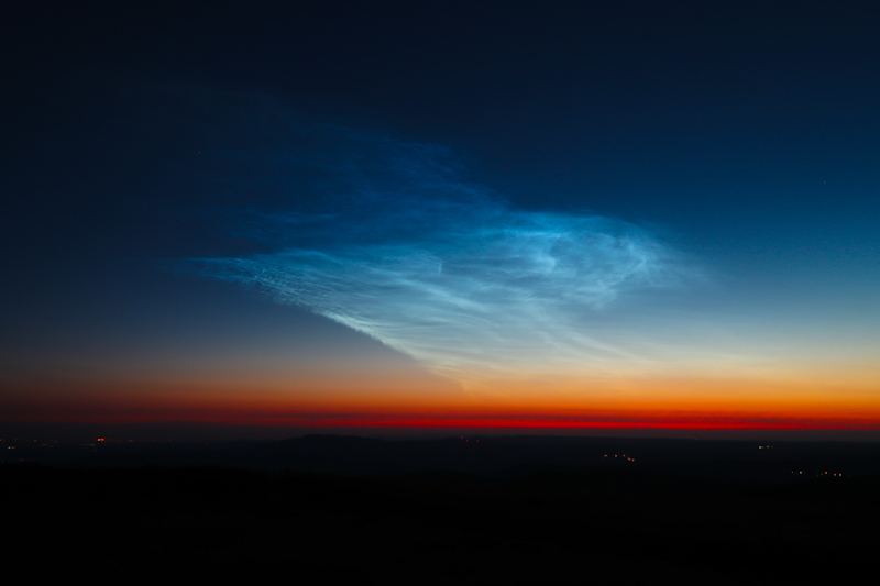
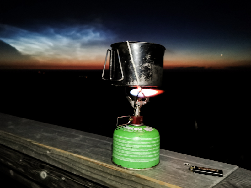
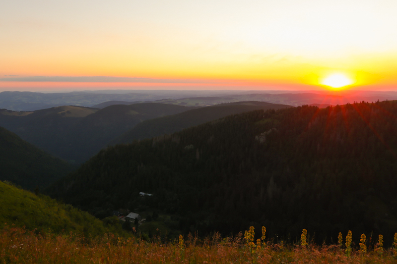
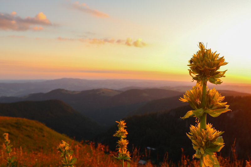
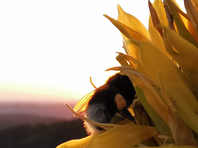
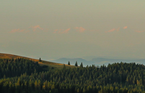
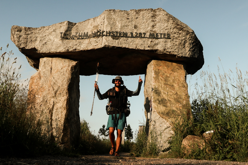
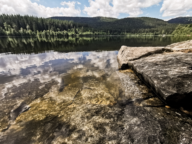
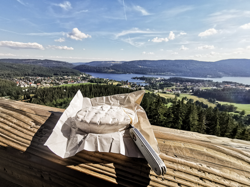
Day 152: The Highlands
Brend to Rufenholzhütte
Distance: 40km
A very talkative photographer kept me busy until late. I fact it was past 23:00 when he finally packed and left. I wasn't really up forstar conversation. The day has been a hard one and all I wanted was enjoying the spectacular view.
Comparably late I start into my hiking day, walking past the shelter 200 meters intoy hike... It doesn't look inviting so I'm happy I decided on camping on the bench.
To my surprise my body was able to recover well. Only in the climbs I feel that my muscles still lacking of energy. Luckily, steep climbs are far and few in between. Mostly, the terrain is gentle as I am still following the high plateau. Only as I get close to Titisee, the trail starts to descend a bit steeper. Cumulus clouds are towering close to the lake, making me push as I am worried about a thunderstorm which would prevent me from going for a badly needed swim.
The clouds disappear as quickly as they have appeared once I arrive at the lake. Being a tourist town, the lake is crowed. Mostly only walking along the promenade. I jump in almost immediately. As anticipated, it feel great. I have lunch and jump right into the lake again, before I continue. My shorts still wet. They keep my cool for a couple of minutes on my way towards Feldberg, with nearly 1500 meters the highest hill in the Black Forest and as far as I remember also the highest point of E1 so far. But I won't head up there today. My goal for tonight a shelter 6 kilometers away. It's a lovely shelter entirely made of massive wood, the wooden smell of it is a pleasure for my nose.
The plan: getting up early tomorrow morning to be there for sunrise.
Funnily, I am not the only one with this plan. A photographer and trust member of the North-South Trail (Germany's national trail) staying in the shelter as well has the same idea. We agree on getting up at 02:00 and hit the trail by 02:30.
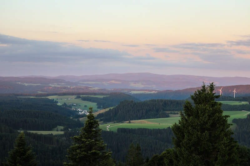
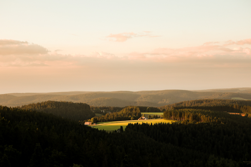
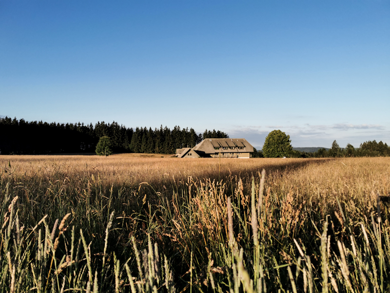
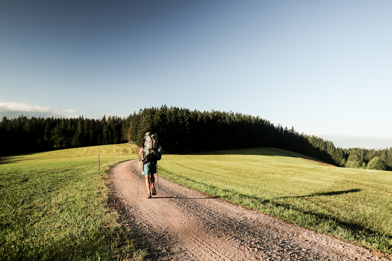
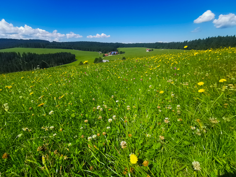
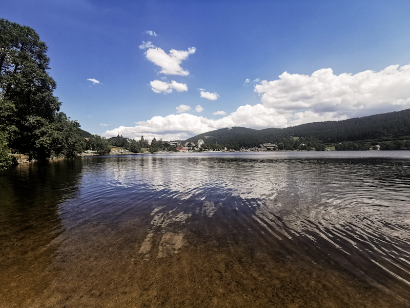
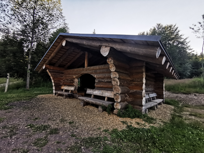
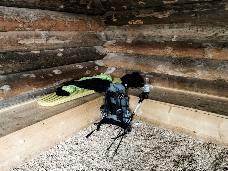
Day 151: Challenging But Rewarding Black Forest
Haaghütte to Brend
Distance: 50km
No idea if there were mice. I slept like a rock and didn't notice anything and my food is still here when I wake up well rested.
After an early start, the day begins relatively gentle on a trail which stays high up on the hills until close to Hausach, where it drops steeply into the village. After my resupply and an ice cream, I tackle the climb on the other side of the valley. It's steep, hot, humid. It's challenging. Whenever I think I'm on top, the trail descends again only to climb another top as I am following the ridge. I feel good, enjoy the challenge initially. After 10 kilometers of this up and down I start feeling tired. And I start feeling my left groin. Something I generally only notice while running.
Luckily, the ridge eventually changes into a high flat. Pastures replace trees, the trails get smoother, the terrain more gentle.
While shelters and huts were everywhere around Hausach, they are getting rare to nonexistent as I head south. I keep on pushing, trying to get lucky on top of Brend, a scenic lookout. I don't. After 50 kilometers and 2000 vertical meters I am done. And the views are wonderful, I decide on staying, picking one of the many benches to sleep on.
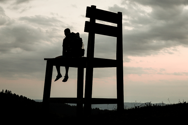
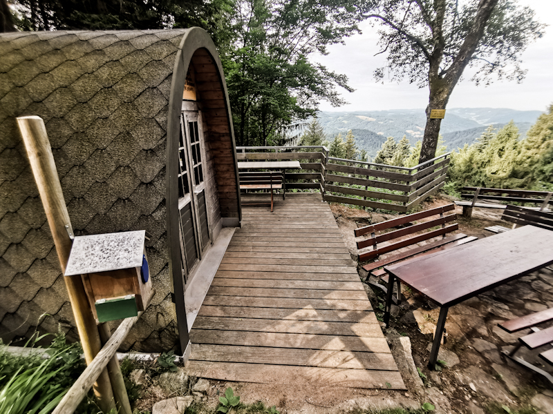
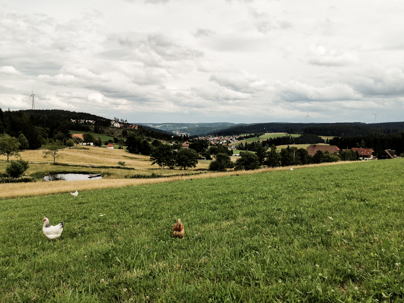
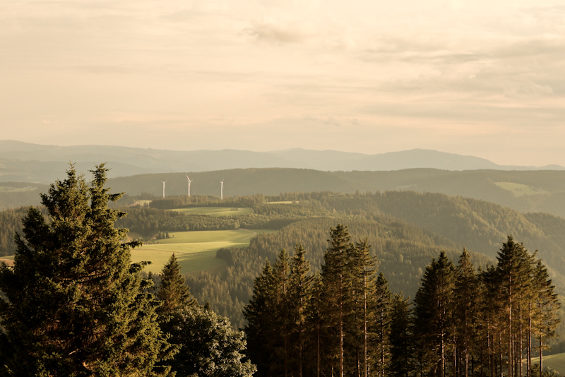
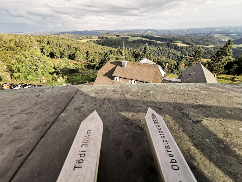
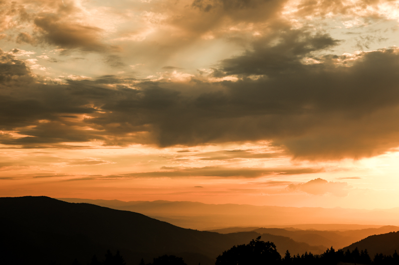
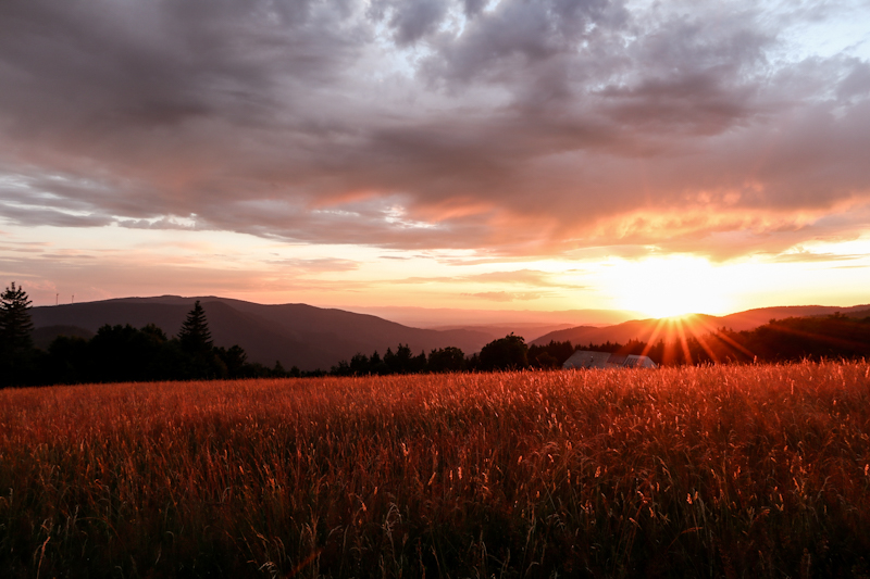
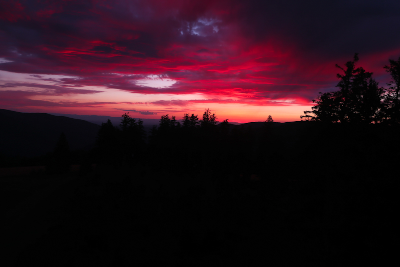
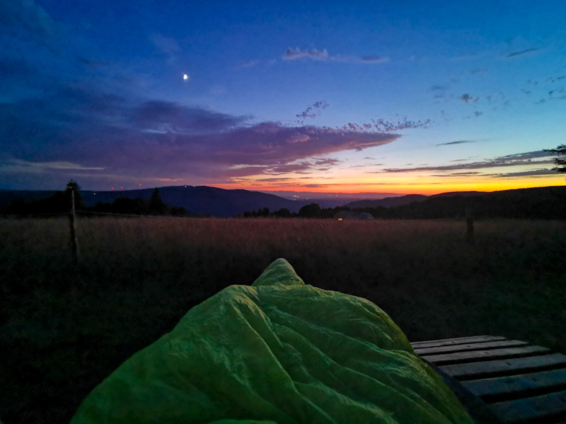
Day 150: Views, Views And More Views
Badener Höhe to Haaghütte
Distance: 45km
212 kilometers... So close to home. 4 days if I could hike as the crow flies. But the thru-hiking reality is a bit different. Double the number and it will sound a bit more realistic.
Not that it matters. Especially, if the views are as good as today. France with Strasbourg and the Vosges to my right, the southern parts of the Black Forest ahead. Today I can even make out one of Switzerland's northernmost mountains, the Säntis, with my naked eyes.
From time to time I need to focus on the things close around me. Mainly on the trail, which is surprisingly rocky. Care is needed as these rocks act like traps. Therefore, I never really get into my hiking flow. Yet, I enjoy my hike on yet another sunny summer day.
I'm not the only one enjoying the weather. The trails are well used, mainly around car parks and restaurants. Unfortunately, the scenic Black Forest Highway runs parallel to E1. Sometimes close, sometimes a bit further away. As a result the feeling of being in the wilderness never comes up.
The Lunas' straps I hoped to have fixed yesterday, are breaking up again. I switch to my spare sandals, hoping they will last.
At one point two young lads are catching up with me. They have a good, quick pace. We start talking and I automatically increase my pace as well. 10 kilometers later, our paths split. Probably my quickest 10 kilometers in a while. Ahead of schedule, I decide to skip staying at the hut I initially planned and continue for another 5 kilometers. I'm surprised to find out that it's actually a proper hut with a door and beds. It's dark inside and according to warning engraved in the walls full of mice. Seems like I need to hang my food.
Speaking of food: I have a lot for dinner. With 2000 vertical meters, tomorrow will be a tough day.
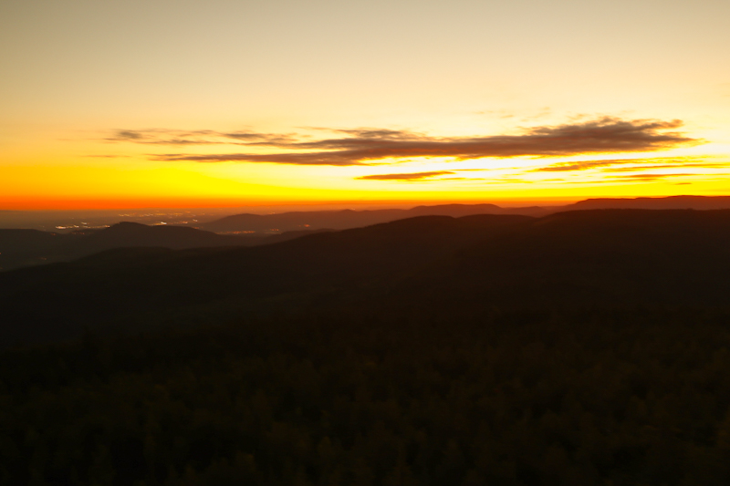
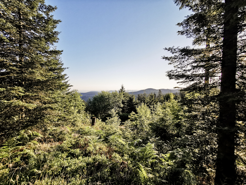
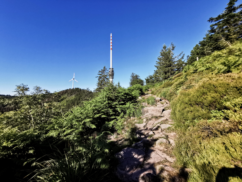

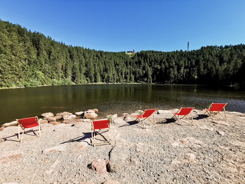
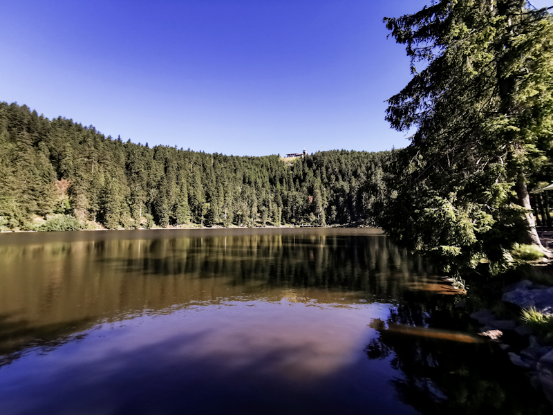
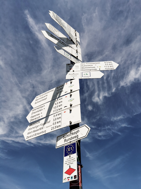
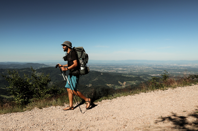
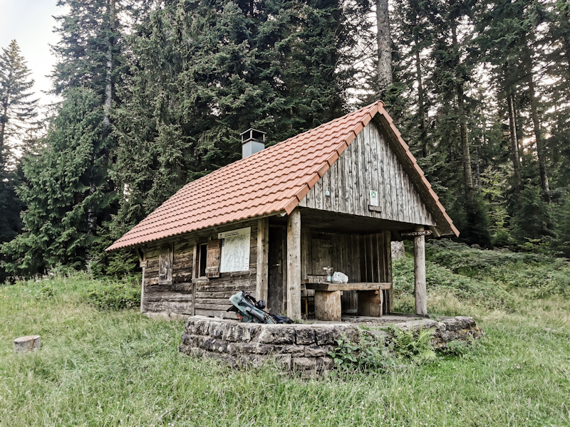
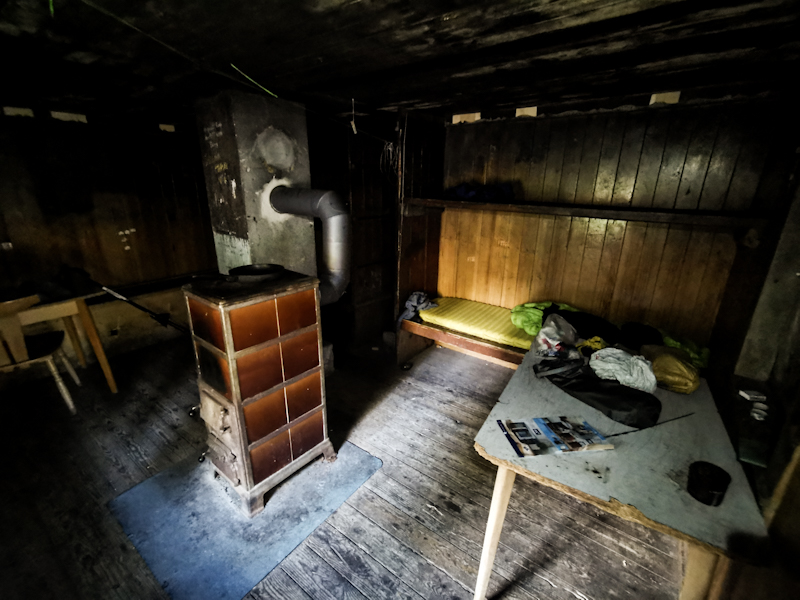
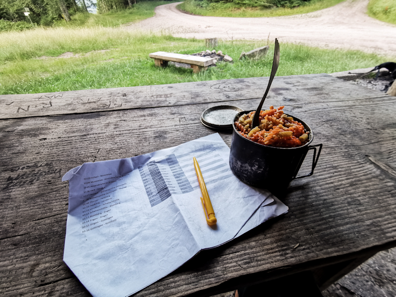
Day 149: A Taste Of Home
Schweizerkopf Hütte to Badener Höhe
Distance: 30km
Two people showed up after I finished my dinner. They seemed looking for something. The phone obviously that I found and handed over to a local a few minutes earlier.
I tell them it's on its way to the lost and found somewhere already. Bad timing, bad luck. But we all agreed they will get their phone back eventually.
It's a calm, quiet night. On the chilly side, perfect for sleeping. Well rested, I start into another sunny hiking day.
The trail offers nice views every now and then before dropping down more than 500 vertical meters to Forbach, where I do some resupply for the next two days and also fill my water bottles. I'm halfway into my hike and already need to carry the water for camping. Not ideal but I don't want to risk running out of water.
Climbing up on the other side again goes surprisingly easy despite the high weight of my pack. It is a rocky trail. Not difficult butbit requires me to stay focused. So not too much daydreaming and no Jack Reacher audio books for me. More than halfway into the climb I pass the artificial lake Schwarzenbach. Officially it's not allowed to swim but it's being tolerated. Whatever this means. I find a path down to the water. Going for a swim. Very refreshing. As it is a short day, I take my time. Going in for a second time.
The trail remains rocky. Too rocky for my old and battered sandals. A strap breaks. With probably close to 3000 kilometers they are beyond repair. I try it anyway. Because my second pair is not in its best shape either. But then again, Switzerland is just around the corner.
At 16:00 I reach Badener Höhe. Despite the comparably many vertical meters, I have only done 30 kilometers. While in the beginning of my career as thru-hiker I would have considered this as normal to long day. Now, it feels super short. Impressive, how my body has changed (for the better).
Still, as the next shelter is too far away to reach, I decide to call it a day. It gives me enough time to write this blog, do my exercises and relax for tomorrow, which aren't such a bad thing after all. And... I have my own observation tower offering sweeping views.
I watch the sunset with to other hikers staying for the night as well. One of them carries binoculars with him. He let's me use it. Without much expectation I look south. I nearly drop them when I can make out the Alps. 212 kilometers away are Tödi and Vrenelisgärtli visible in the mist (Peakfinder app helped me to identify them). 2 iconic Swiss mountains. Never would I have expected to see them so far away. What a motivation boost and great ending of my hiking day!
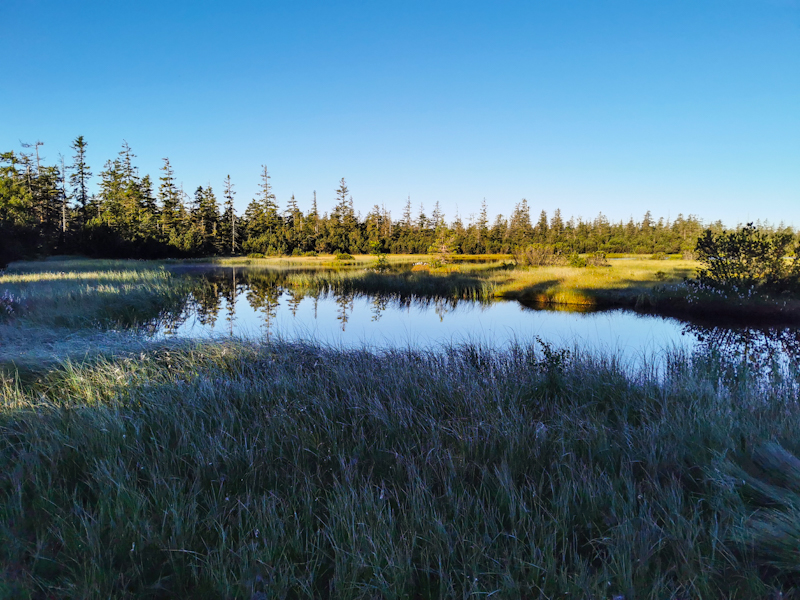
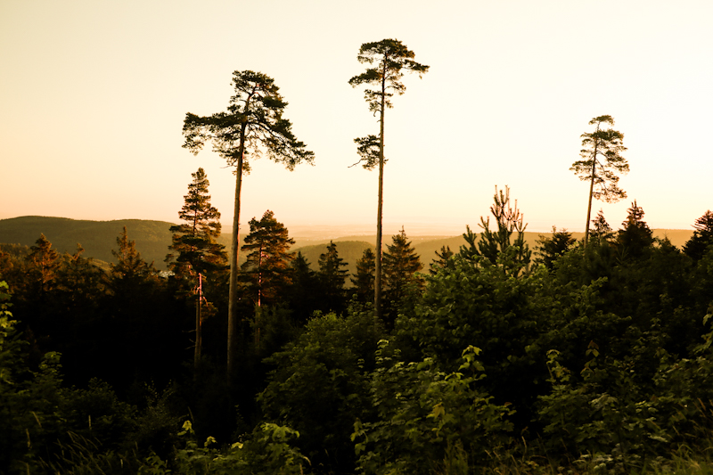
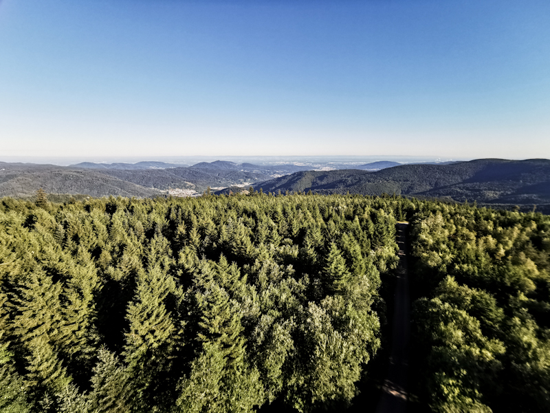
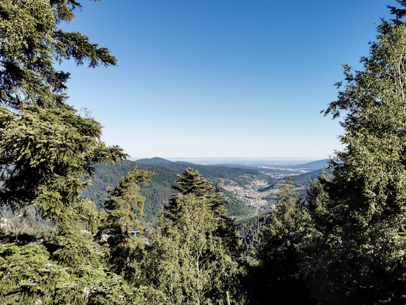
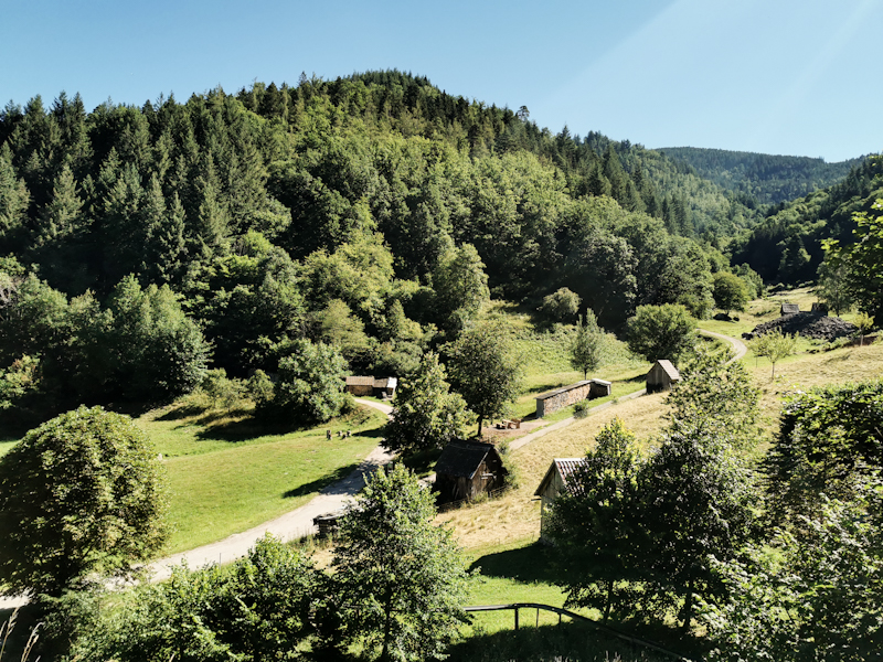
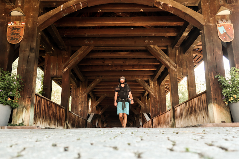
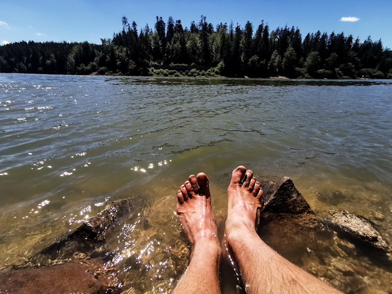
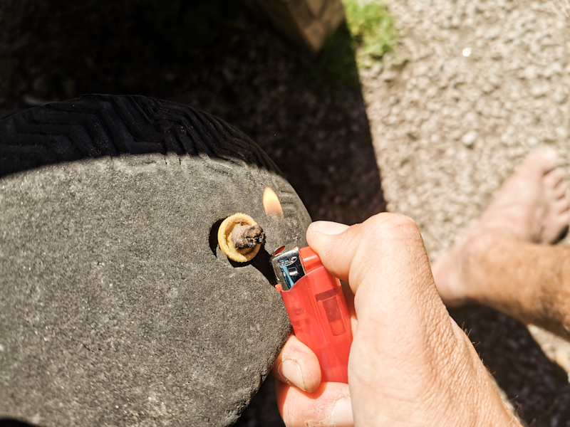
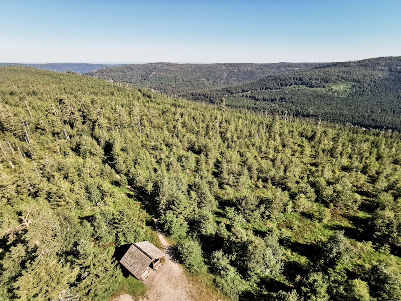
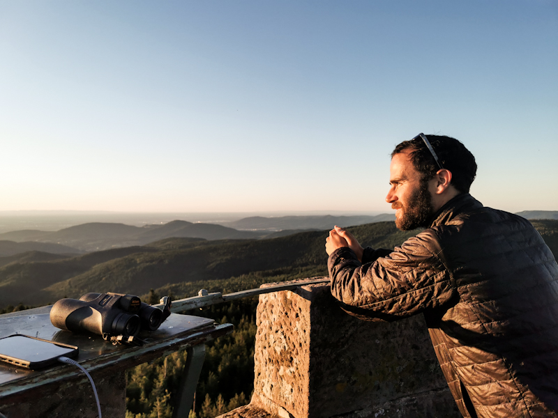
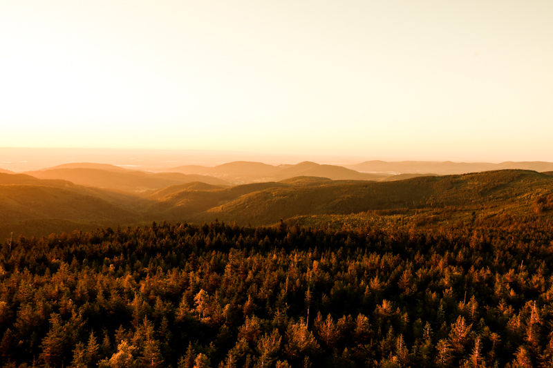
Day 148: Black Forest Calling
Pforzheim to Schweizerkopf Hütte
Distance: 35km
Apparently it has been a wild night weather wise according to my hosts. Heavy downpour and thunderstorm. I slept right through it, not noticing a thing.
Seems like I needed to catch up on sleep.
It's still raining as I am sitting in the living room with Martin, enjoying a delicious breakfast consisting of Müesli, bread rolls and coffee. As I am not feeling like rushing out and into the rain just yet, I am taking it slowly. In the TV they are broadcasting a short documentary about the serious draught in the northern parts of Italy. I watch it with interest as I might be walking this area this autumn.
Lack of rain is no issue here in Pforzheim this morning. Nevertheless, I get itchy feet eventually and decide to start into my walking day. I say goodbye to my wonderful hosts and trail angels, with whom I have had a lovely stay. Their hospitality was amazing and they made it super easy for me to recover. Many many thanks Martin and Silvia!
The first kilometers in the rain are not really spectacular. This changes, once I start following the Enz River towards Neuenbürg. A nice riverside walk, which is getting better with the rain fading away and the sun shyly shining through the clouds.
Once past Neuenbürg, the trail leads me into the forest again. Ahead of me, I spot another hiker. She keeps a good pace and I decide to follow 50 or so meters behind. Eventually, she stops at a cross road. I catch up with her and we say hello. As it turns out she's headed for the same direction, doing the Westweg in sections. We walk together, keep on chatting and chatting. It feels comforting to walk with company, sharing stories. Time flies and suddenly, after walking more than 10 kilometers together, we are in Dobel. She's taking the bus back to Pforzheim, for me it's another 6 kilometers to my shelter. Before doing so, she invites me for coffee and lemonade. After some more talking I continue. I feel good. Not tired. Neither mentally nor physically and walking is a breeze. Especially, once I have some sweeping views towards the Rhein and France.
My shelter offers the same fantastic views. I instantly know I will enjoy a fantastic sunset from this place a couple of hours from now. A lost phone I find at the shelter is keeping me busy as I am trying to figure out how to make out the owner. I give up eventually. A local offers to take it to a lost and found. Good solution I think.
With this out of the way, I'm back to admiring the view while preparing my dinner.
What a great start of my Black Forest section!
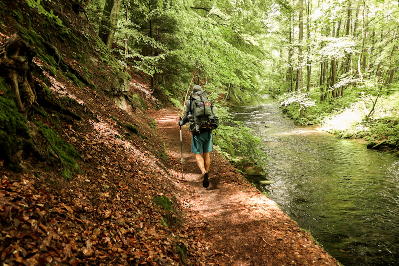
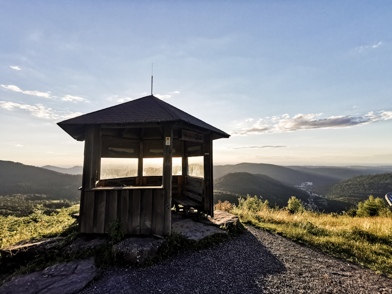
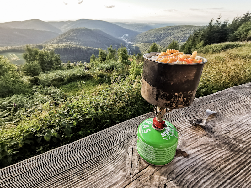
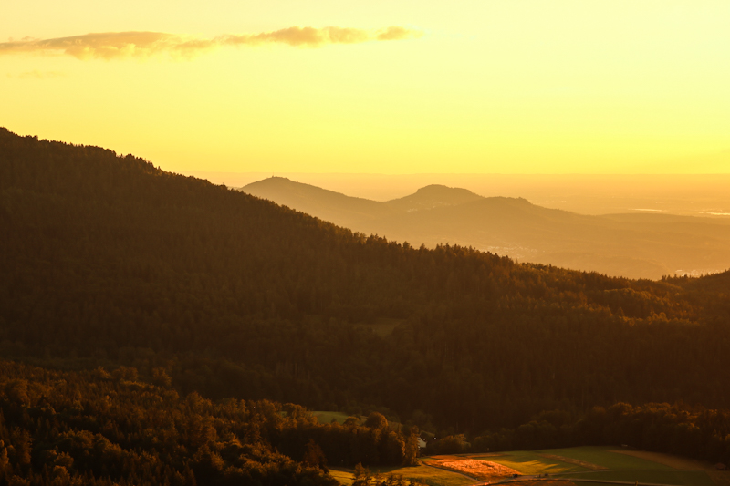
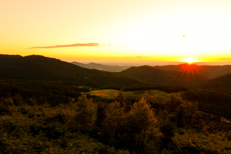
Day 147: Zero Day Pforzheim
My legs and mind needed a break from the trail.
Planning the hike through the Black forest, eating good food, spending time with my wonderful hosts Silvia and Martin and simply just relaxing is what I am doing on this hot Thursday.


Day 146: Same Same But Different
Hühnerbüschle to Pforzheim
Distance: 45km
I did not have to use the emergency slide. Lucky me. It sure looked damn steep...
I'm taking the easy way down via the stairs as I set off after a somewhat restless night without proper sleep. Being just past 05:00, it's still fairly dark. The days are getting noticeably shorter as I'm heading south and away from mid-summer .
Yet, it's quite busy already when I am walking through some I industrial area. 06:00 - the night shifters leave, the early shifters arrive. The night shifters are hurrying to their cars, getting in and accelerating quickly, most probably heading home. It is something I like about E1. The trail gives you a good realistic, faithful insight to the country.
Other than that, it's a similar day to yesterday. A mix of forest, towns and open farmland. Plenty of wild berries to pick along the way. Highlight once more the mirabelles.
Progress is good, mainly thanks to the fairly gentle climbs with less vertical meters overall than during the previous days. Having felt sleepy throughout the morning, I decide on trying to do a quick after lunch siesta. With little success.
I keep on going. As I get closer to Pforzheim, the views get less attractive with deserted looking villages. Most of the shops are for sale. Yet another unfiltered look into Germany. Pforzheim is not much better. Seems like after it got destroyed in the second world war, priority was to rebuild it quickly. And not the looks or design of the city. Maybe I missed it (which might very well the case) but I can't find it's city center, it's identity.
My couchsurfing hosts are living a bit away and above Pforzheim. Being the last climb of the day, I mobilize my last energy reserves. Once on top I do my resupply and write this blog, using the time wisely until it's 18:00, the time I promised I'd be there. Because out of experience I'm pretty certain that once I am at my hosts place, I got other better things to do than resupplying and writing this blog.
Addendum:
Martin and Silvia gave me a wonderful warm welcome, made me feel at home instantly. I took a shower, got my laundry done by Silvia and had a great meal. Plenty of food and nice talks, mainly about traveling.
Martin offered me the possibility of a zero day. I ponderd over it for a couple of minutes then decide it would actually be a good idea before heading into the black forest. Catching up on sleep and staying out of the heat.
So that's what I will do tomorrow. Sleeping in, taking it easy, recovering from the long days that I have recently done.
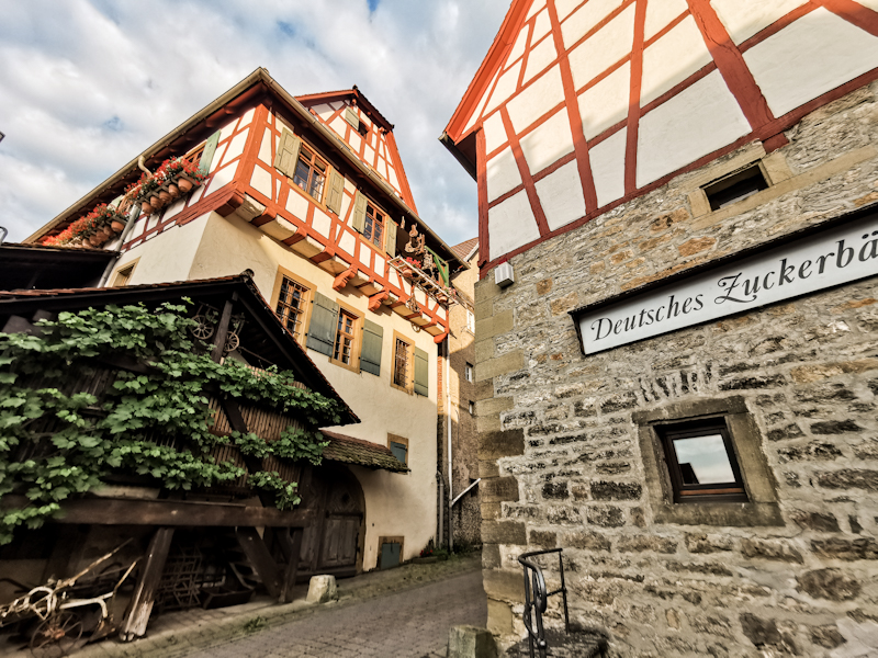
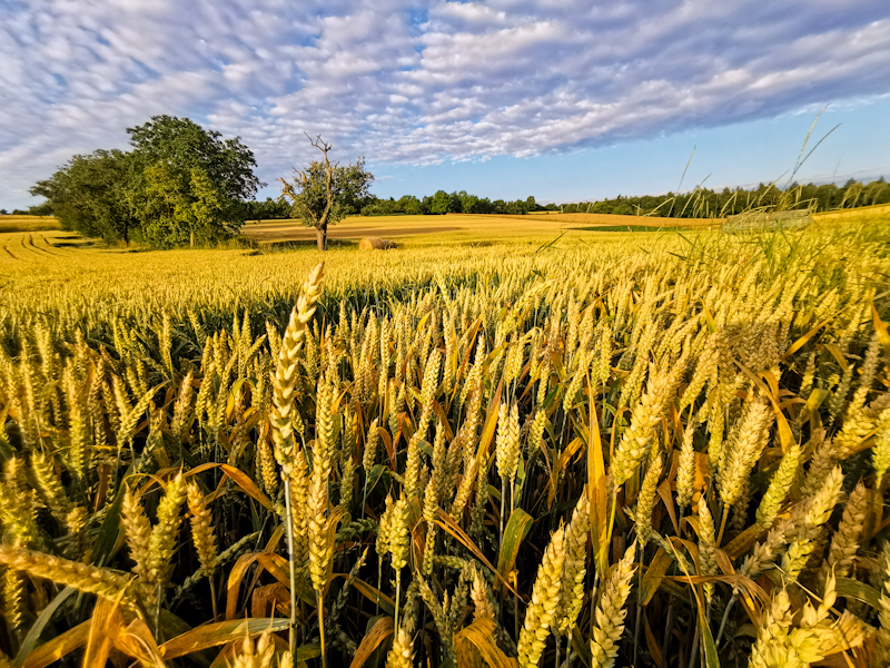
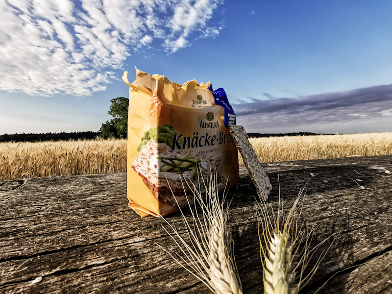
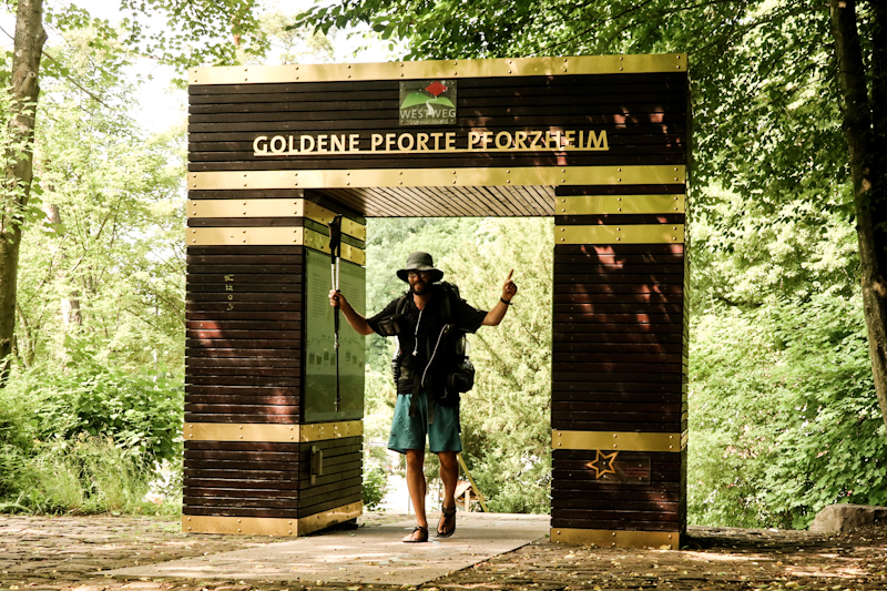
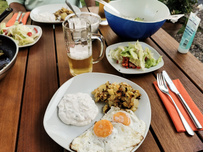
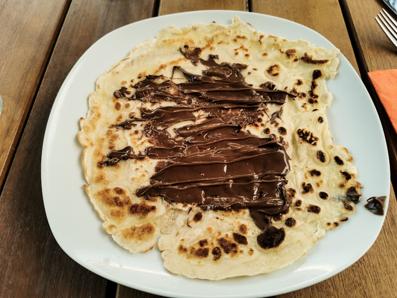
Day 145: Farmland Fun
Ziegelhausen Shelter to Hühnerbüschle
Distance: 50km
A different day compared to yesterday. Firstly the weather: it is sunny throughout the day. And warm. And I have to say: I prefer sweating over rain.
Then there's the landscape: much flatter and mostly farmland. Hardly any forest. The wheatfields are shining golden - a wonderful view. Being quite low, altitude wise, the cherries are mostly gone, replaced by apples and blackberries. Even some mirabelles are ready to eat. One village has a designated stretch of path, where hikers are being encouraged by a sign to pick whatever is ripe. Such a sweet idea!
Other than that there's really not much to tell. I meet a fellow Swiss, nobo from Switzerland to Hamburg. In sections of 2 to five days each. My first Swiss I have met since resuming my hike in Germany. He warns me that the Black Forest will be steep, rough, tough. Sounds like a nice challenge to me.
My overnight spot is located on an outdoor event location with a playground and fitness parcour. Close to the road. Certainly not ideal but there's simply no other option. I'll be up and on the way early tomorrow anyway as a long day but also a nice meal, a shower and a bed are awaiting me in Pforzheim!
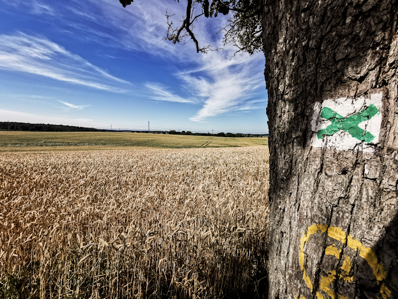
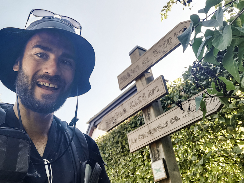
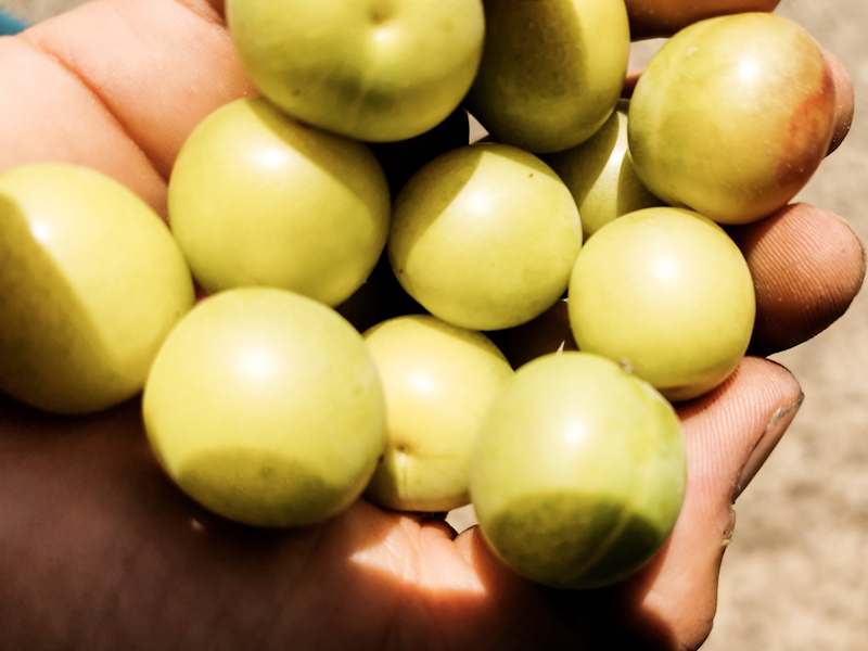
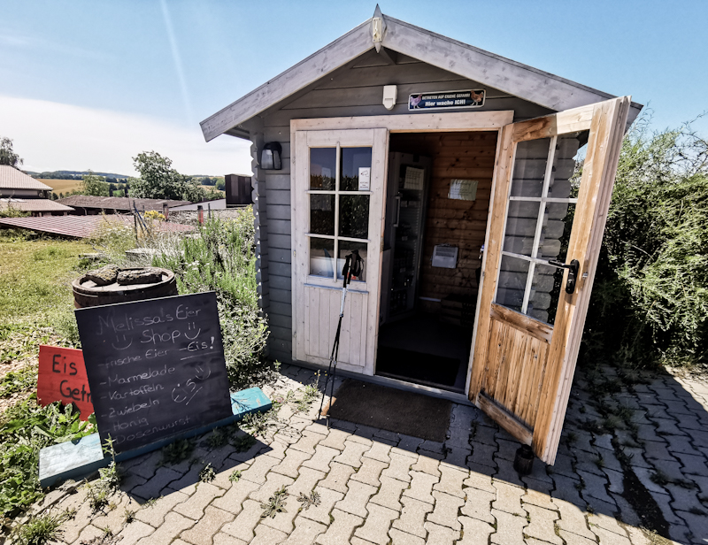
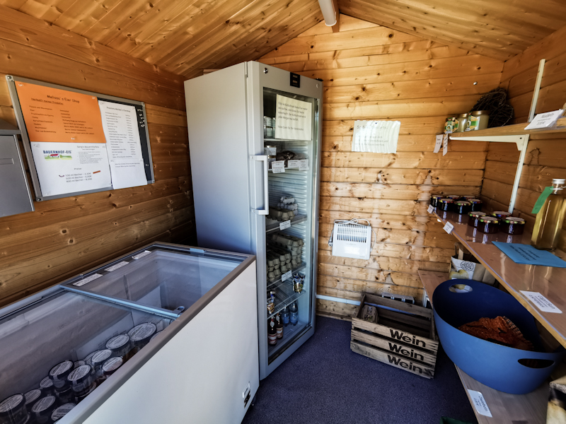
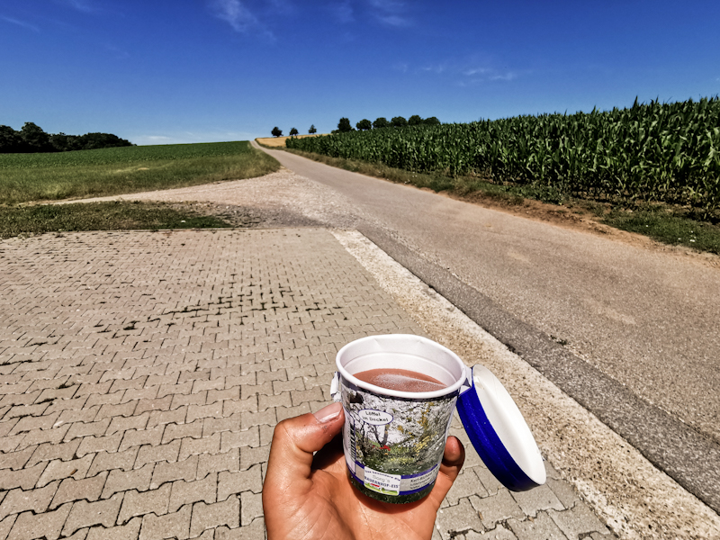
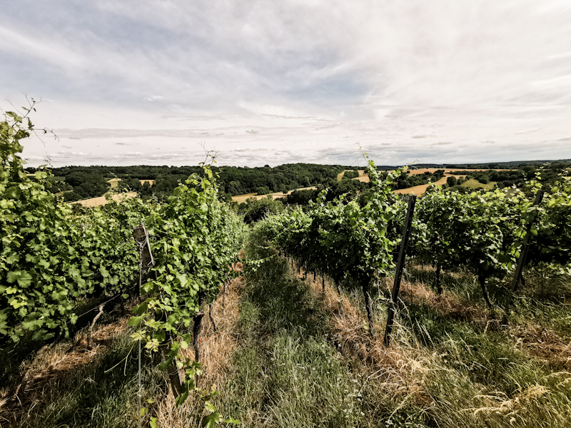
Day 144: Tough Walk In The Rain
Willhelms Ruhe Shelter to Ziegelhausen Shelter
Distance: 50km
Glow worms again! I don't complain. This time however, their light show was soon replaced by a lightning spectacle. It lasted for several hours and robbed me of my sleep.
The shelter wasn't able to keep me completely dry. Strong gust were blowing in some of the rain. But it was really just a little bit and not really a problem. Still, I had better nights.
Fog has replaced the rain by the time I leave the shelter. Felsenmeer (sea of rocks) nature reserve is only a couple of steps away. In the early morning fog it looks mystical. I have the place for myself.
The descent through the Felsenmeer is steep but on good trails mostly. At one point, a bridge is closed, forcing me to scramble over the rocks. Despite being wet, they are grippy and it's a great way to warm up my body.
Soon, I leave the Felsenmeer. The rest of the day is dull. Nothing special to say about the tracks and the weather is pretty unstable. Many rainy phases until we'll into the afternoon. I don't mind the change too much though. The cooler weather makes walking a little bit easier.
Which is a good thing because today, walking needs a lot of effort. It's a constant fight, a battle for each and every kilometer. Despite the lower temperatures.
Maybe it's the lack of sleep, maybe the up and down. I don't know but these days are simply part of it.
Because of the though day, I am especially happy and relieved when I finally make it to my shelter. No thunderstorms are predicted so I hope for some good, well needed sleep.
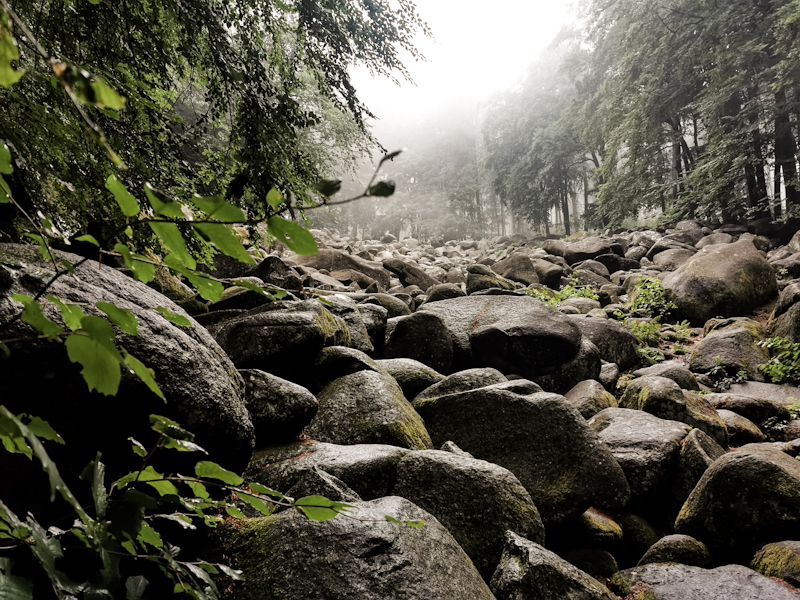
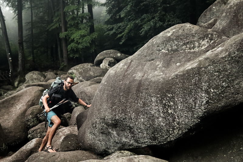
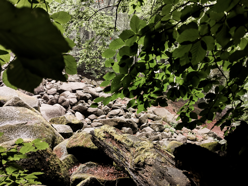
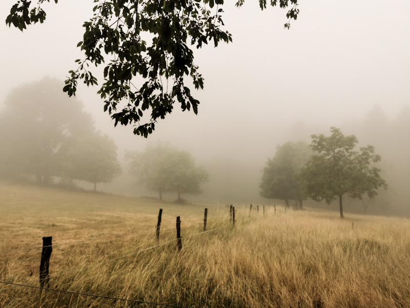
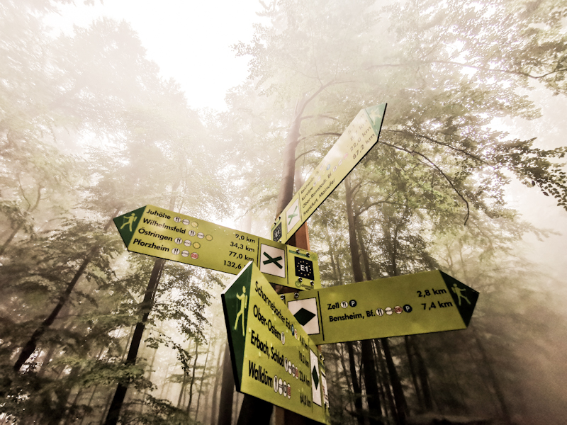
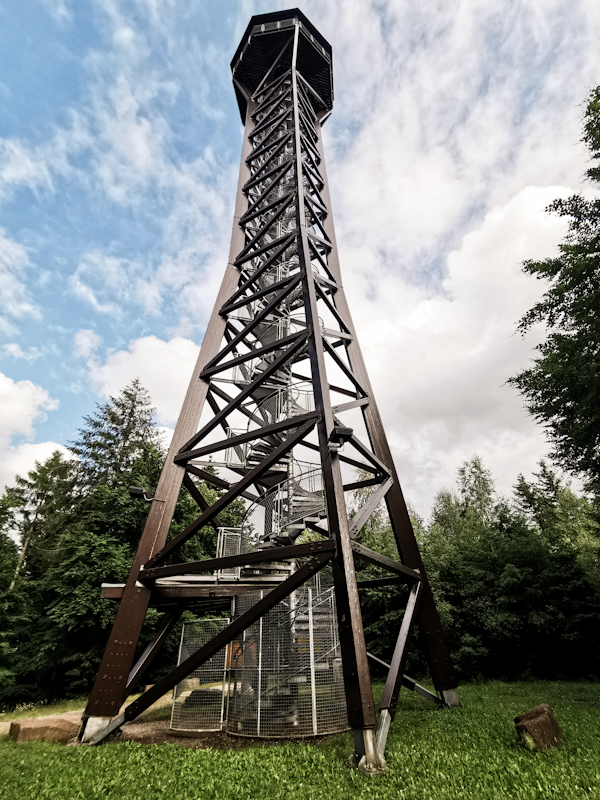
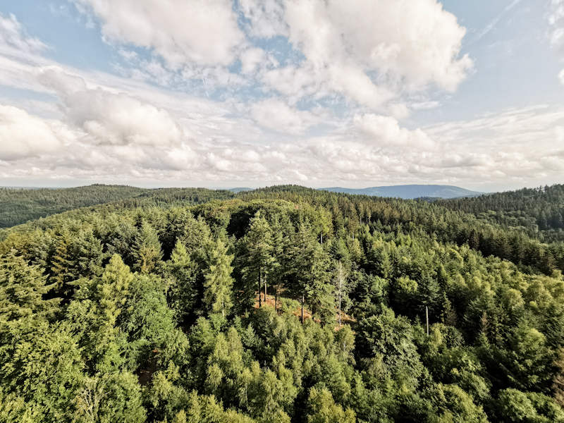
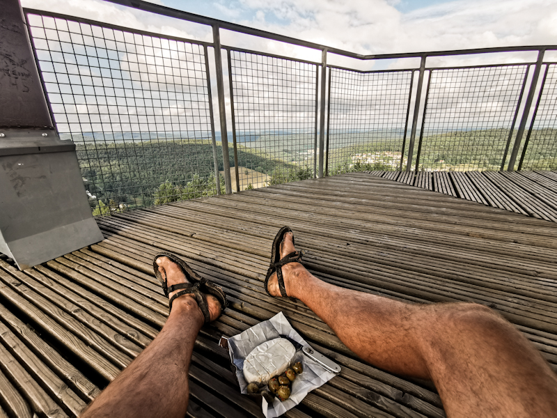
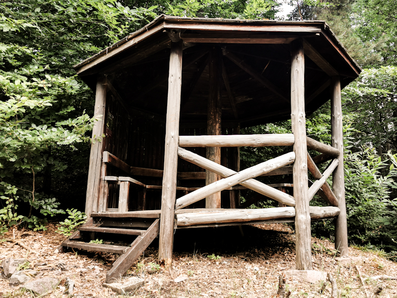
Day 143: Encounters
Gotthard Franke Shelter to Willhelms Ruhe Shelter
Distance: 45km
I'm glad I opted for the shelter and not the cocktail party. As I was lying in my sleeping bag, glow worms started dancing around the shelter. Some even around my head. Magical. Unique. At least for me. Beats every cocktail party and 5 Star hotel.
Lots of forest, flat terrain. That's the first part of the day. I wouldn't consider it boring but after yesterday a bit of straightforward, tranquil walking is appreciated. After lunch time, I leave the forest for some gentle hills, mostly farmland. I seem to attract attention of some of the many people walking or cycling today. People ask me from where to where I am headed. When I answer I started at Nordkapp, people normally get curious and good conversations are taking place. Generally, they are headed the same direction but all are still different and I enjoy these chatting stops.
In Frankenhausen for example I even get invited for ice cream and coffee by a lovely couple that is spending most of the year in their camper van. Next project: Sicily. Same as mine...
And just a couple of minutes later I have a chat with an older couple. I meet them on a rather steep stretch of a path. She's 84, he's a 89 doctor. I'm impressed how well they are still managing the climb.
Obviously, progress is made slow by all the talking and nearly comes to a halt when a clasp on my shoulder strap snaps. My backpack starts showing its age. Luckily there's hardly anything a bit of duck tape can't fix. At least temporarily.
Yet, I'm still very happy with my backpack. With 15000 kilometers and despite being thrown over sheep fences in New Zealand and reindeer fences in Norway, it's still going strong. Eventually, I will write an ode to my backpack as it will be replaced soon. Its state of the art great grandson is already waiting for me in Switzerland.
By 19:00 I reach my shelter. It's super basic but has a cherry tree right beside it. And it should keep me dry during the night, which is supposed to be rainy.
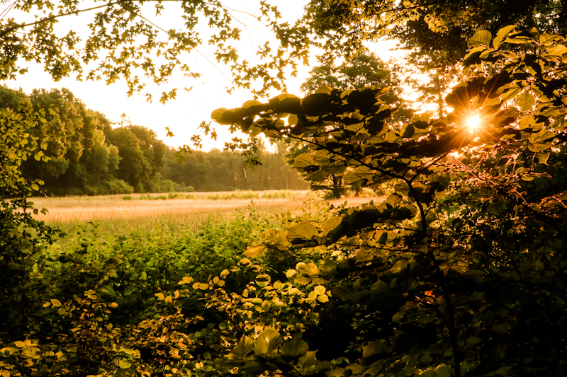
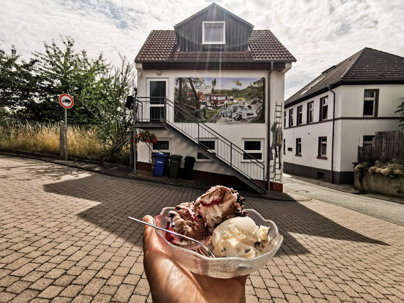
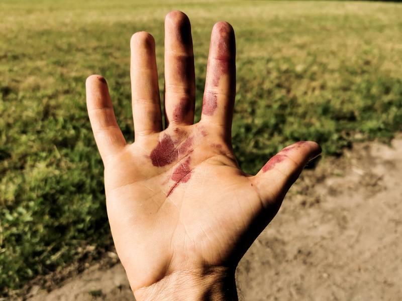
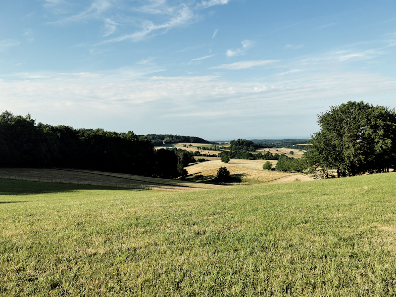
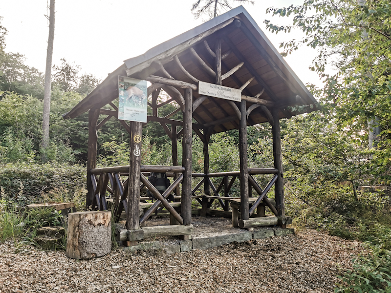
Day 142: Contrasts
Schloßborn to Gotthard Franke Shelter
Distance: 55km
The couch is so comfy. I'd love to stay another hour or even two. But I am on a mission today: firstly, I want to climb the Grosser Feldberg, the highest point in the area, before the Saturday crowd arrives. Secondly, plan to cross Frankfurt by this evening as I don't feel like staying the night in town.
Comparably late but still reasonably early, I head out into the misty morning air, creating a mystical atmosphere in combination with the low morning sun. I manage to take a photo I wanted to take for a long time but never worked out. What a good start into my day!
To the top of Feldberg it's 9 kilometers and around 400 vertical meters. A continuous climb, sometimes steeper sometimes less steep. My legs feel reasonably well and two hours later I enjoye a good view from the top. There's a road up here so access is easy. Yet, I have the place nearly for myself. Goal achieved. I continue to Altkönig, the next hill on my way. I leave E1, take a short cut up a steep and
rocky slope. Unexpected but a nice little challenge. Altkönig is completely different to Feldberg. No building, much wilder and seems to be popular with trail runners. On the way down I choose my own path again. The steeper path takes me down through blueberry fields, full of ripe berries. With the slightly rocky surrounding it feels like to be back in Scandinavia. A good feeling. I take my sweet time, eating berries, enjoying my surroundings. Not a single other soul around. Eventually, I continue my way down. Hard to imagine that in a couple of hours I'd be in a completely different surrounding. Busy, hectic maybe. But then again, Frankfurt is a financial center and it's Saturday so maybe not so busy after all.
Once out of the forest, Frankfurt's skyline with the massive Telecom Tower comes into view. Still far away but getting closer as I cross some farm land. It's hot out here in the sun. Especially compared to the forest. E1 takes an interesting route, passing through some low income places, a massive shopping mall, parks and the telecom tower, which is a bit outside of the downtown area. I think it's where E1 gives you a good insight of the "real" Germany. I find it interesting observing people why I walk through these area. People doing what you do on a sunny Saturday. BBQ on the balcony, celebrating a birthday in the park, playing mini golf...
As I get closer to downtown, it gets bussier and busier. Busier than I expected on a late Saturday afternoon (yup, I'm running quite late. It's going to be a long day walking well into the sunset. Too much time spent eating blueberries).
I'm getting tired. Not physically but mentally. So much going on around me. Looking for the markings (which are sometimes clearly visible and understandable and sometimes not) and looking out for traffic needs a fair bit of concentration.
As I get closer to the Main River, men in their suits and the ladies in their cocktail dress are being dropped off for a party. Bankers maybe, finding ways to spend their money. Gosh, I feel out of place! Doesn't matter though. Somehow, I enjoy watching them living a life so distant from mine. A life I wouldn't want to live.
I do quick resupply as I get closer to the city boundaries. It's an abrupt change: I cross a road, a deer fence and it gets quiet around me. No sign of the city behind me. Only a few people on their evening stroll. It feels good. My brain can wind down again. Especially because the markings, now done by another hiking club, are fantastic: a marking warning of a turn well in advance, one at the turn itself and one afterwards, confirming you are on the right trail. Not some kind of unclear markings by trying to only have one sign for both directions.
Aircraft flying into Frankfurt, one of the world's busiest airports, disrupt the quiet. Some would call it noise, I call it music. Every couple of seconds I look up, trying to identify the aircraft landing on one of the 3 parallel runways. Challenging as the trees are limiting the view. Otherwise it would be too easy ;)
Finally, at 21:30 I reach my shelter. Tired but happy. What a lovely, diverse day it had been!
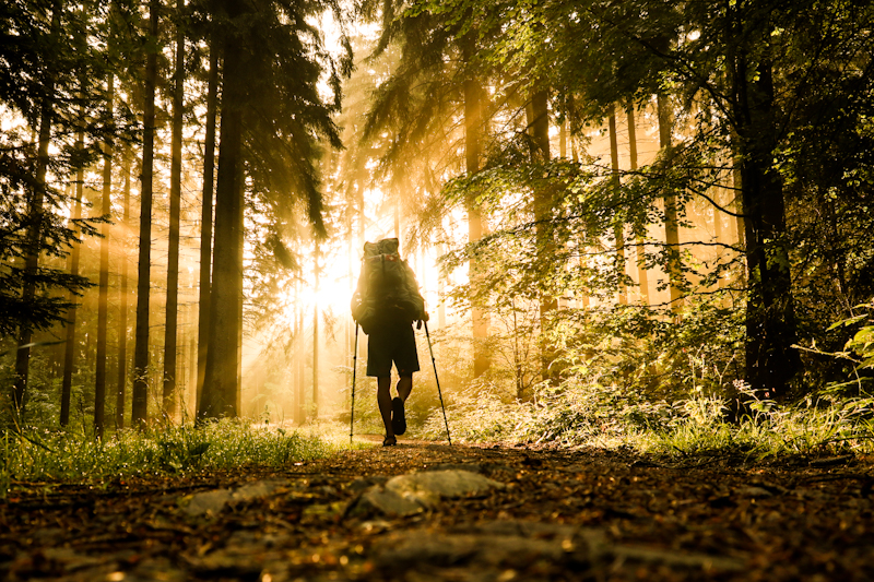
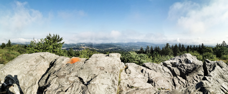
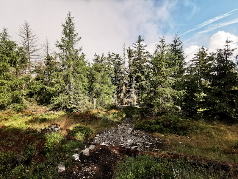
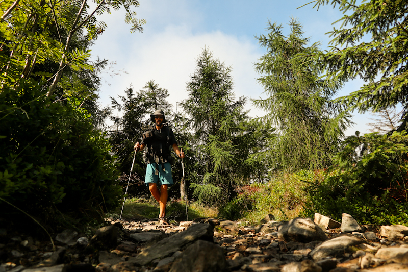
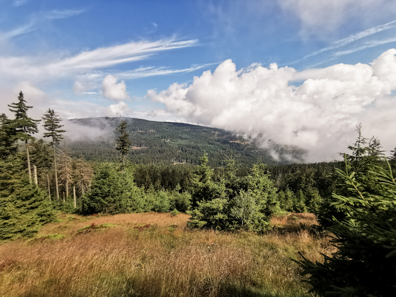
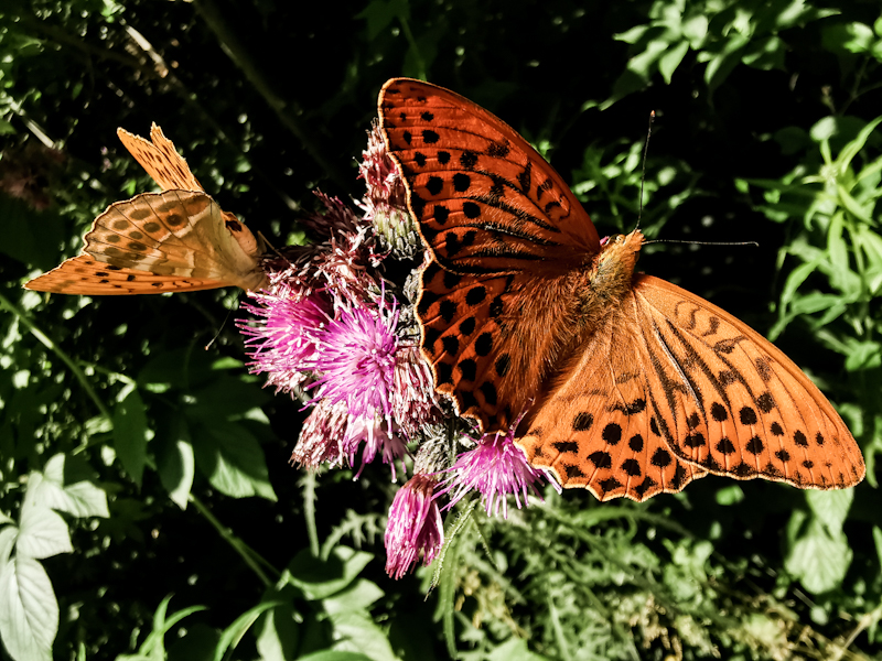
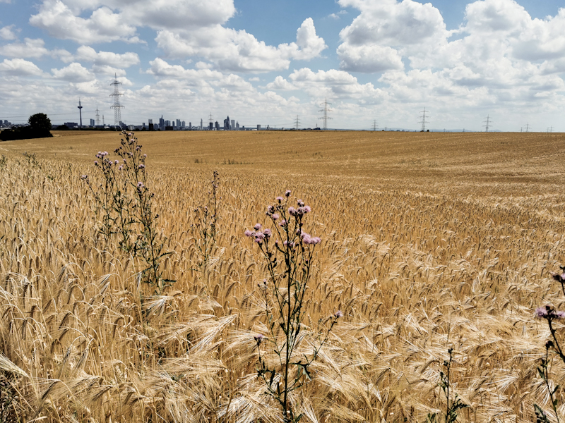
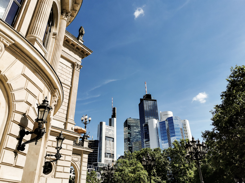
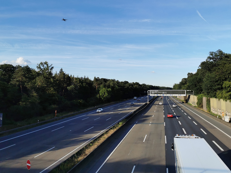
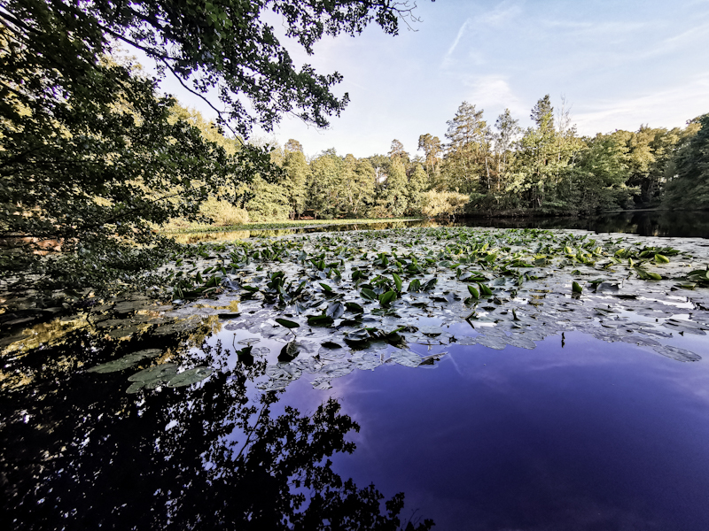
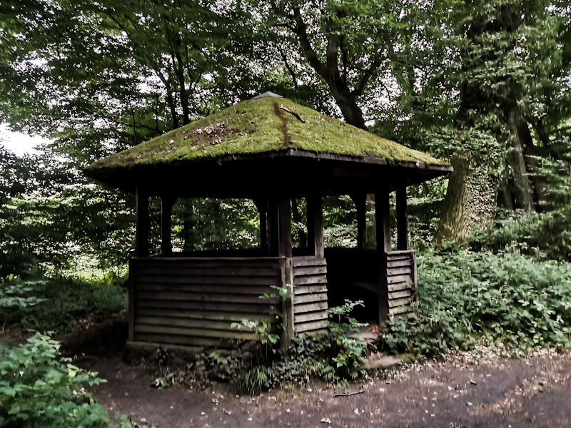
Day 141: An Electrifying Ending
Cramberg to Schloßborn
Distance: 50km
The predicted thunderstorms and heavy rain didn't materialize. I'm a bit angry because if I stayed, I could have witnessed a beautiful evening sky. From the shelter I moved to right after the sunset, I could only get a glimpse of the burning sky.
Anyway, how could I have known. And better be save than sorry.
As there is no rain when I get up either, I decide to hit the trail as quickly as possible. A long day lies ahead of me. A day, which starts with a shameful piece of trail. Overgrown, hardly walkable. Eventually, I make my way through and most of the remaining day is pretty uneventful. Well, Idstein, a village I pass by has a lovely old town. After the strolling through it, I make my way into the forest again. Dark clouds now looming overhead. I'm pushing, trying to make it to my 1nitetent host before things turn ugly. Without success. 5 kilometers before Schloßborn, rain starts pouring down. And thunder. Very close to me. Bad timing means that I am on an mostly open field. I find shelter in a structure on some kind of place used for events. But I am far away from feeling comfortable. 1 second between lightning and thunder is way too close for comfort. The thunders are loud, the shelter shaking. I distract my self by writing this blog as the thunderstorm is going on. Hopefully, it will be over soon.
Addendum:
It took a long while for the thunderstorm to pass. After finishing the blog I was doing my stretching with the storm still going on. Once the aircraft in or outbound Frankfurt started flying again, I decided I'd continue as well. The temperature dropped significantly, making walking quite pleasant, despite the rain.
Shortly before 20:00 I entered the front yard of my 1nitetent host. He let me into his house and offered me his couch immediately, because he's scared his wet lawn might suffer from my tent. I agree ;) Win win!
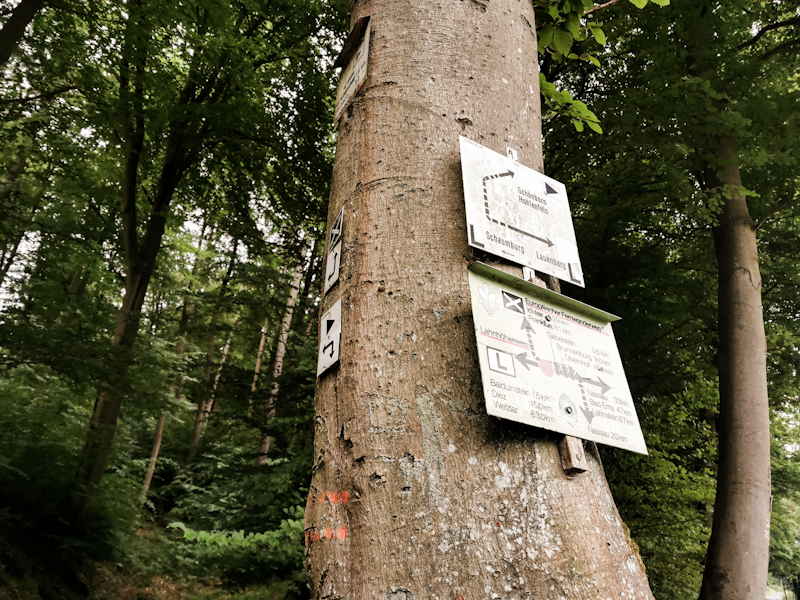
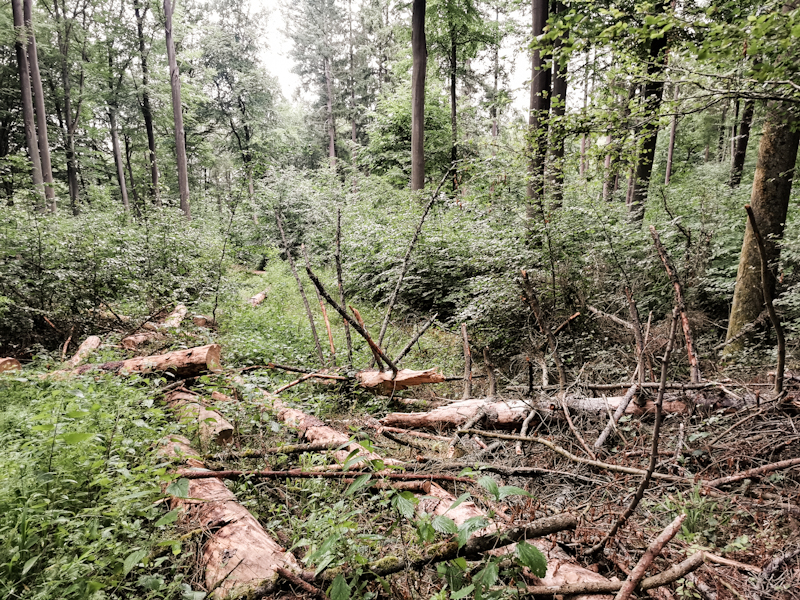
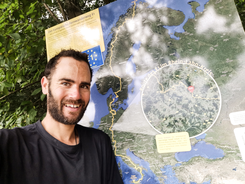
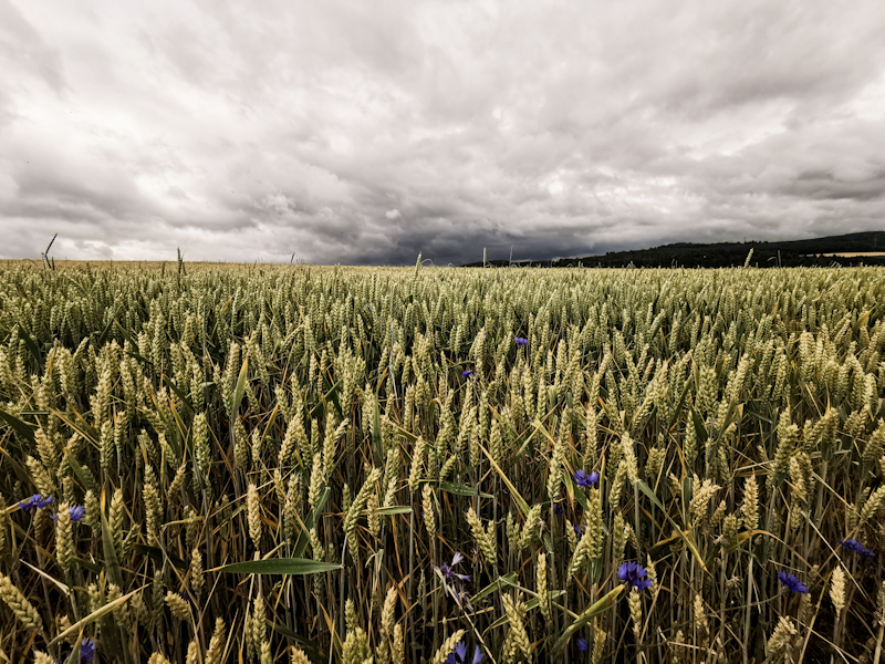
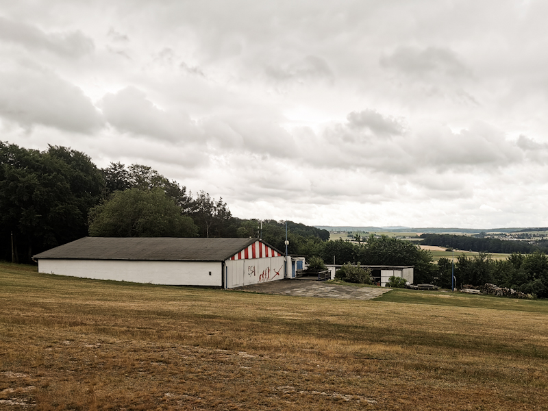
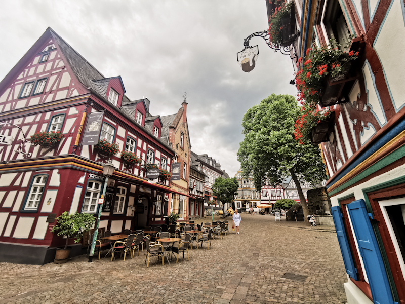
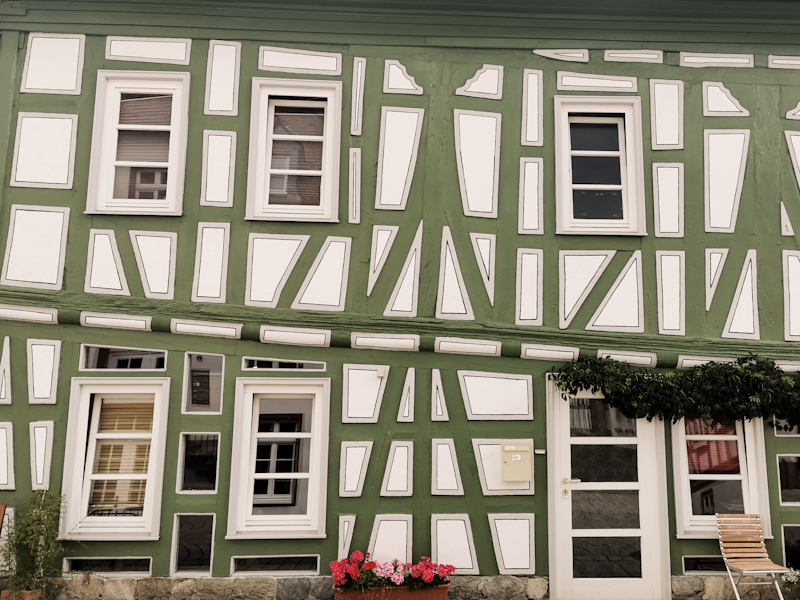
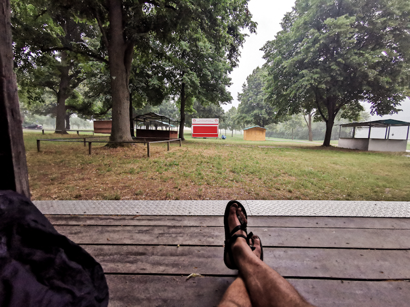
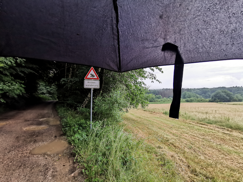
Day 140: Some Proper Hiking
Steimel (Wirges) to Gabelstein
Distance: 50km
It's another warm morning. I start walking at around 05:00, already in shorts and shirt. The morning atmosphere is lovely as I make my way into Montabaur - a nice town but probably I won't remember for long. After Montabaur, the trail would go via Köppel. Since the observation tower is not opening until 10:00 I decide to do a short cut. Big mistake as I end up bush bashing and collecting ticks. It takes me up to an hour to remove all 30 or so. Hopefully, I didn't miss one.
The hike until Nassau is quite boring. Luckily, I remain within cooling beech forest for most of the hike. Eventually, the trail drops down into Nassau, where I grab a big ice cream. As it turns out, I'd need all the energy it contains:
The remaining 20 kilometers along the Lahn River are, after a level start, a constant up and down. Sometimes quite steep but technically never difficult. Only physically challenging. I find it interesting how I generally can squeeze out some extra energy when I need it. Like a booster.
All these climbs make me sweat like a bull. Twice do I need to ask locals for water.
The effort however is well worth it. It's an wonderful stretch of E1 in Germany. Quite rewarding. Especially when I arrive at the fantastic Gabelstein lookout, overlooking the river far below me.
I'm not sure yet if I will stay here to the next shelter, 500 meters away. This one here is exposed and with thunderstorms forecasted maybe not the smartest idea to spend the night. But for the moment I'll be staying, enjoying the sunset.
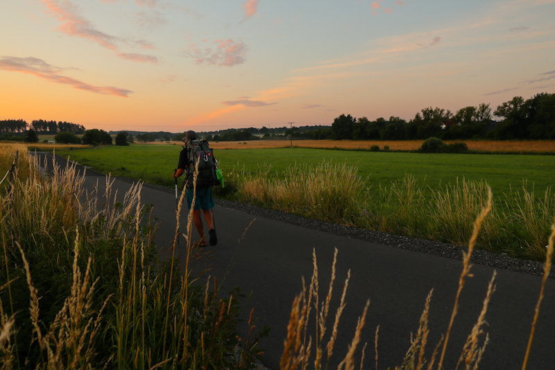
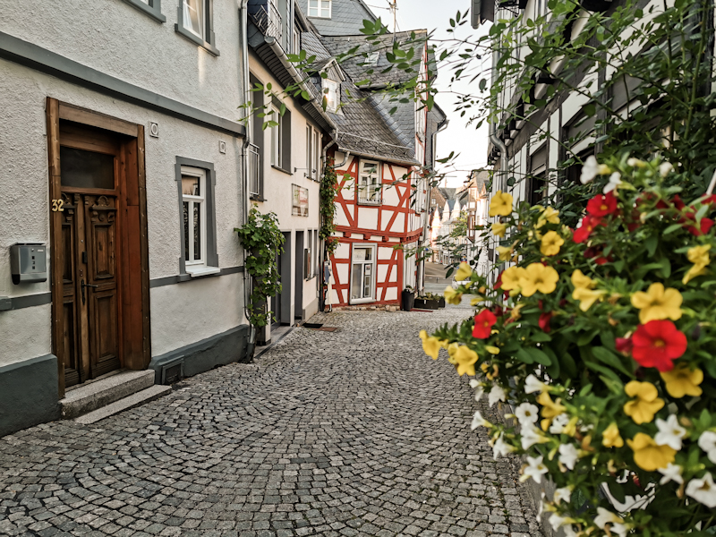
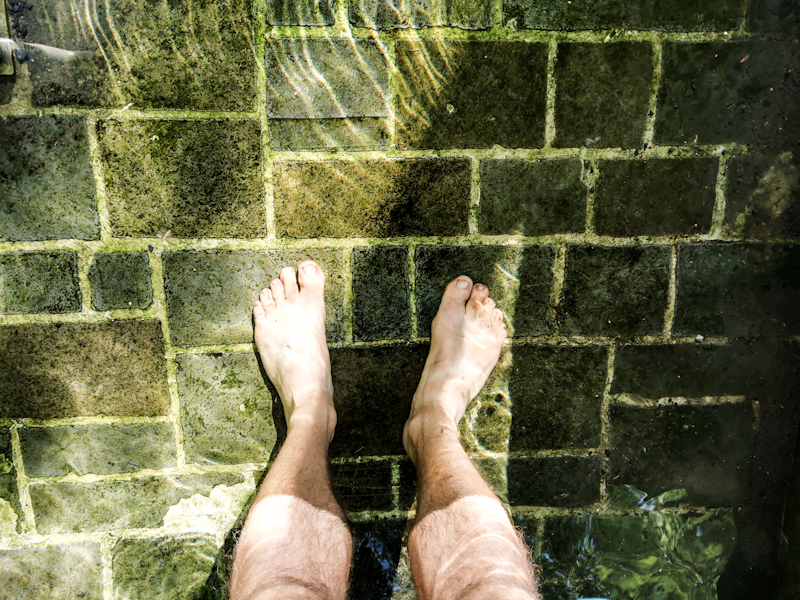
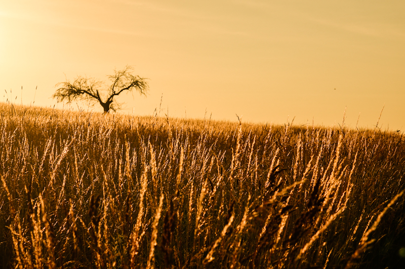
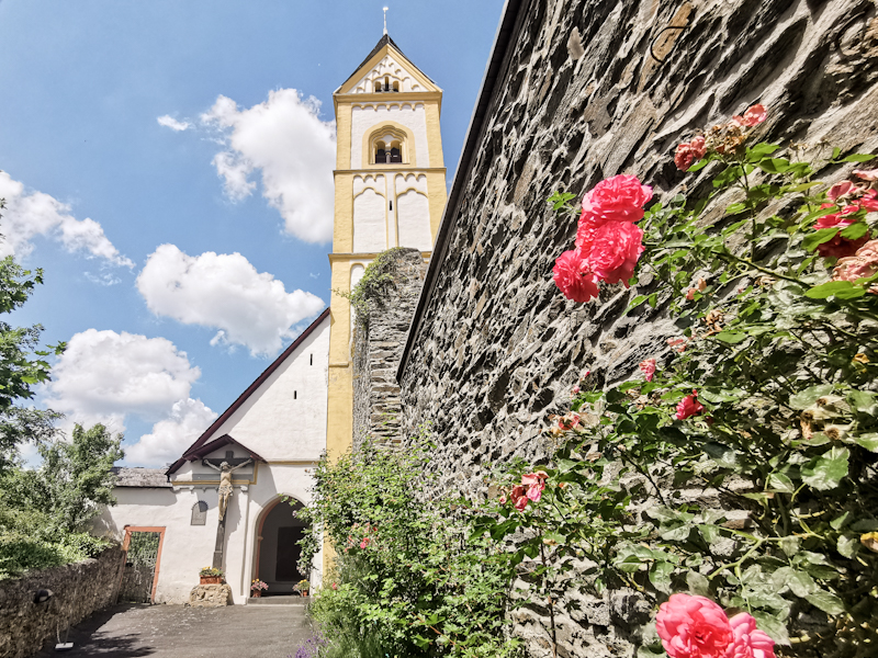
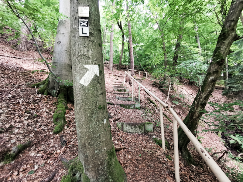
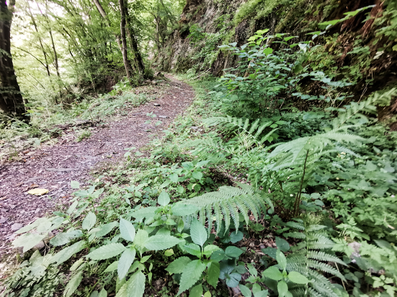
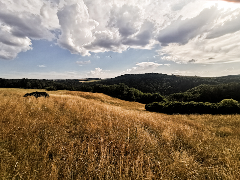
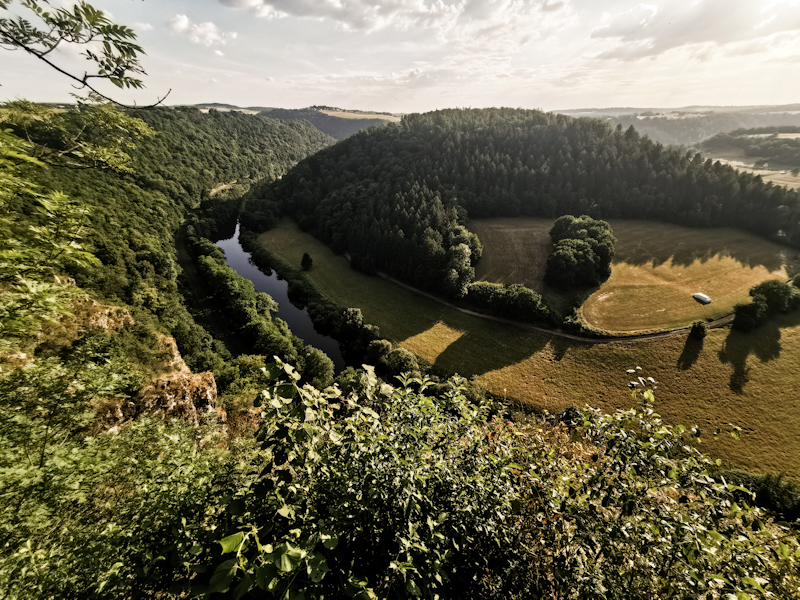
Day 139: Reset Needed
Drescher Fichten to Steimel (Wirges)
Distance: 50km
Seems like I got up with the wrong foot today.
Firstly, I left the camera's wifi turned on overnight, a mishap, which completely drained battery. Then, on the first couple of meters, I pick up several ticks. Then I follow some old, wrong markings and end up on a busy road. An annoying 10 minutes road walk is the result.
After the road walk I find myself a bench. I sit down to eat a bit and to press the reset button in my head. And after the reboot things go smoother, much smoother.
No more getting lost, the battery is still drained. But this I can't change anymore.
The views are lovely at times. At one point I climb the observation tower of Alpenrod. With 33 meters, the observation platform offers sweeping views. Towards the south, were I am heading, the terrain doesn't look too hilly. Only in the far distance one can make out the higher hills of the Taunus Range near Frankfurt, where I plan on being on Saturday.
The day gets better when I reach the Westerwälder Seenplate, some lakes scattered in the Westerwald, and find a good place to swim. All legal (I think). After not going for a swim for days, I am a bit hesitant. No idea why. Too many "no swimming" signs floating around my head.
But eventually I go in, it's so tempting with the air temperature being around 30 degrees Celsius. And it's beautiful! I swim some circles, enjoying the refreshing water. Surprisingly, I have the place to myself. I'm wondering where everyone is but don't exactly care.
The next lake is 5 kilometers away. And guess what, I have to go in again. Go swimming whenever you can, I say to myself. It might be the last swim for a long time.
The remaining 15 kilometers are fairly unspectacular again. But it seems like everyone wants something from me: ticks, mosquitoes and horse flies on this last kilometers.
Doesn't matter, my day has already been a success and I won't let them spoil it. Yup, I have definitely lowered my standards compared to Scandinavia, where I could have gone swimming 20 times a day ;)
My legs eventually start lacking energy. I decide to camp on top of a hill, next to chapel under some oak trees. Most probably I won't pitch my tent. The weather is good. It won't be tomorrow night though, with heavy rain und thunderstorms predicted.
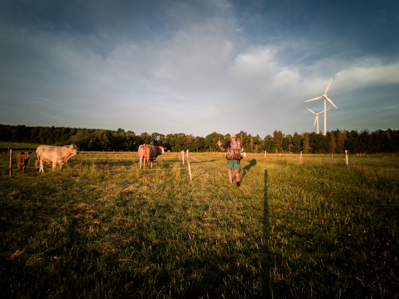
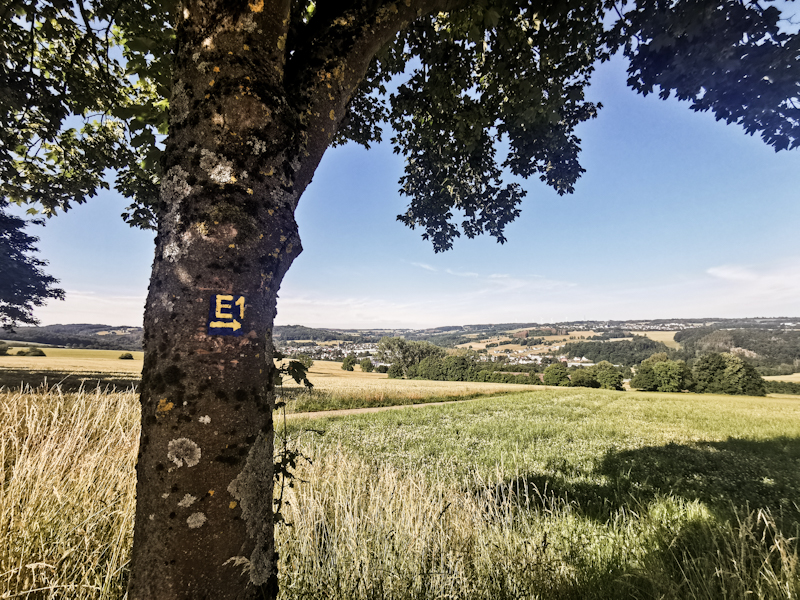
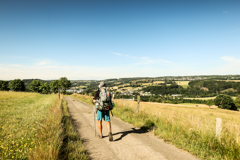
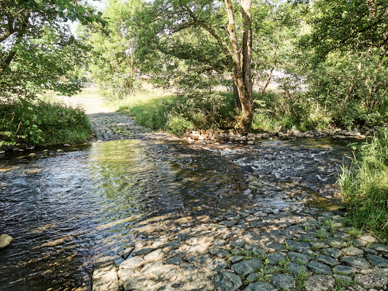
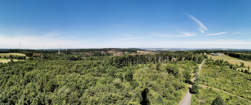
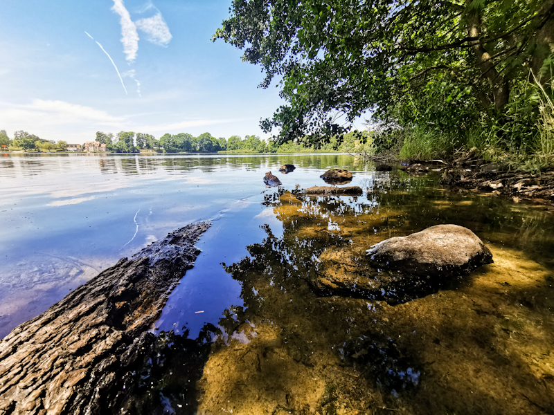
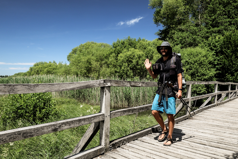
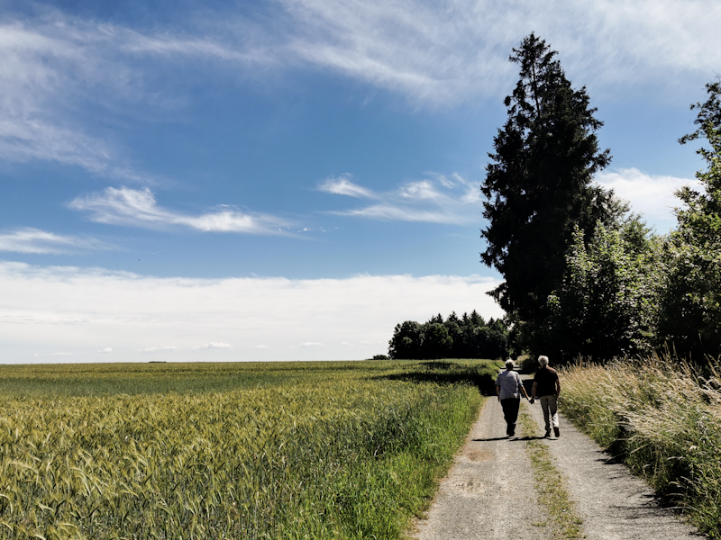
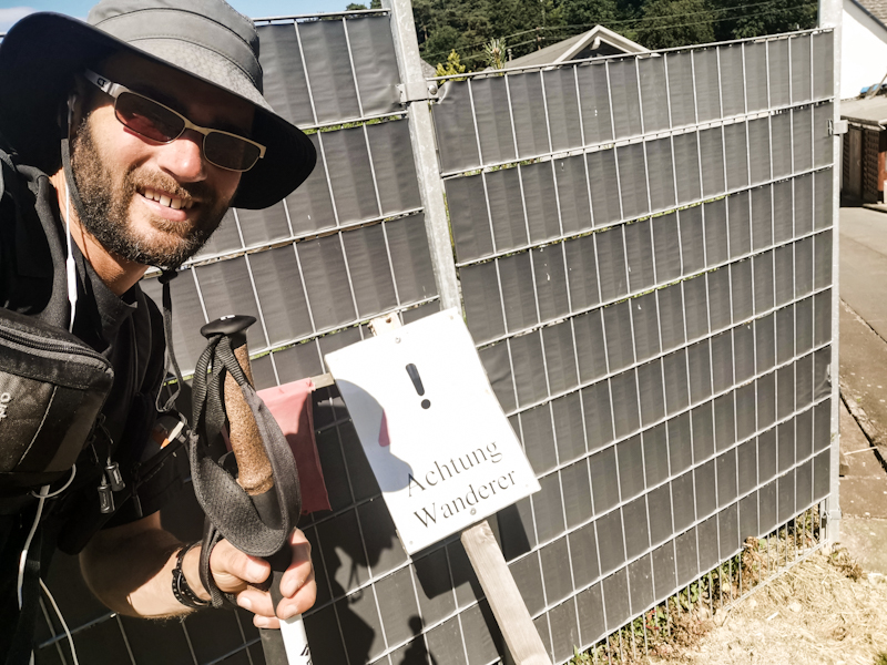
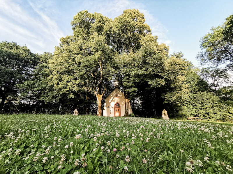

Day 138: Mid-summer Berry Heaven
Siegen to Drescher Fichten
Distance: 40km
Continuous change while being on the trail. That's what I wrote a couple of days ago. Well, to be honest, some things remains the same over the years. Like leaving trail angels. It's still difficult for me. No difference today. Therefore, I keep the goodbye brief and hit the trail once I am ready. No good in dragging it out.
It's a lovely, with 8 degrees Celsius pleasant morning. The hike itself is more diverse than the previous days have been. Different kind of forest and cute little towns. Best of it all are the berries though. Seems like they all waited for the longest day to ripe. Until today, besides the blueberries, there wasn't really anything to pick. Which made me a bit sad, made me think if I should have started my hike in Flensburg a bit later.
No such thoughts today! Raspberries, wild strawberries and to my delight also Juneberries I find along the way. Not heaps of them but in combination with the cherries I nearly could grab something sweet permanently. And what surprises me is how sudden they all became ripe.
But... I also have some walking to do. Up and down and up and down and up.
Towards the end of the day, I decide to deviate from E1 and follow the Westerwald Trail number 5, which would take me from Herdorf to Bad Marienberg more direct fashion than E1, which is deviating way towards the east. And I don't really feel like doing that today.
Shortly before reaching my spot for the night, I have a super funny, somewhat sarcastic chat with two older ladies. In the end they press me a 10 Euro bill into my hand. A first for me. Do I really look so shabby already? :D Anyway, I don't say no of course. This will buy me a lot of well needed ice cream!
The spot I picked for camping is, well, okay I guess, so I decide on staying here. It's a massive BBQ hut but lacking of chairs, tables and the like. Staying there is probably not tolerated but it's past 20:00, I am hungry and tired and don't expect anyone showing up anyway.
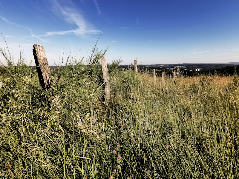
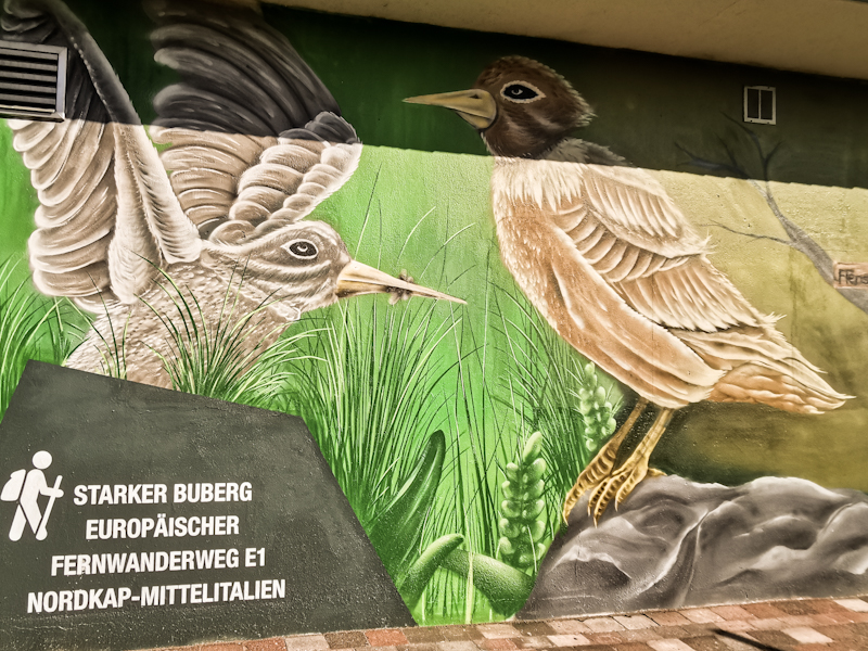
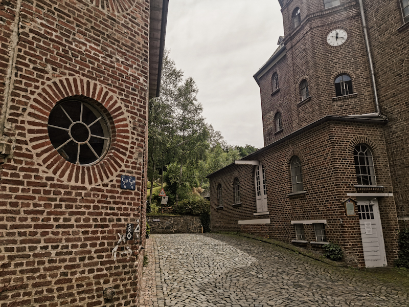
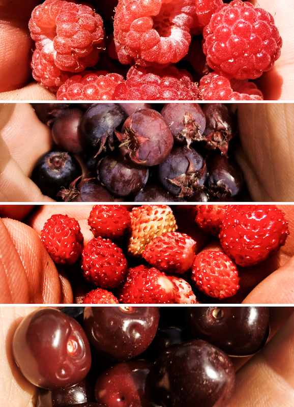
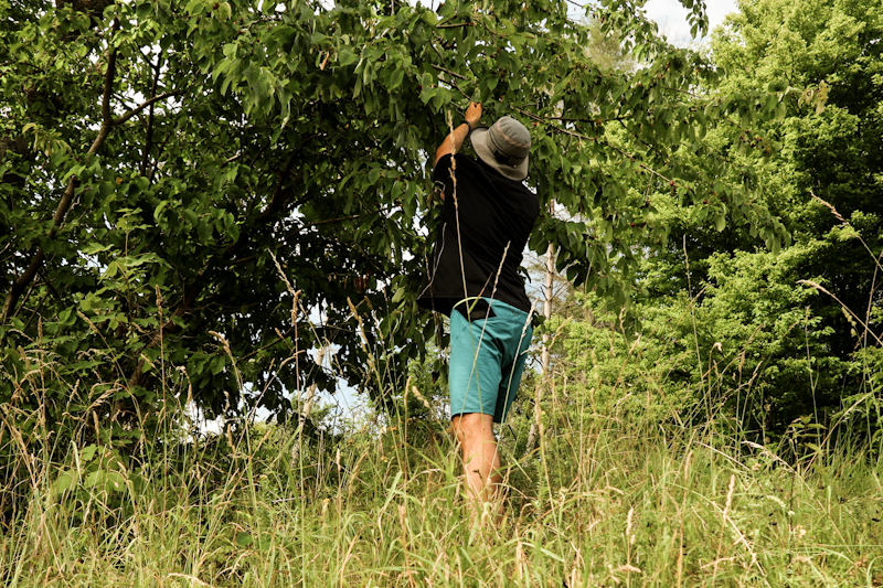
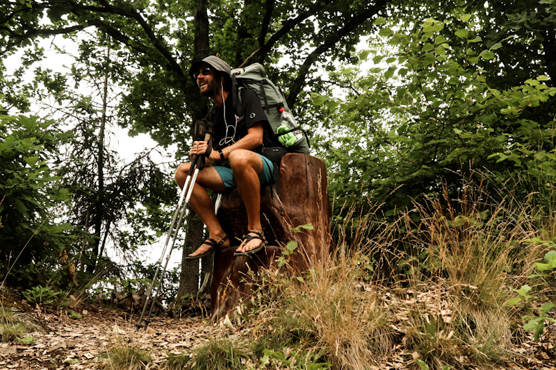
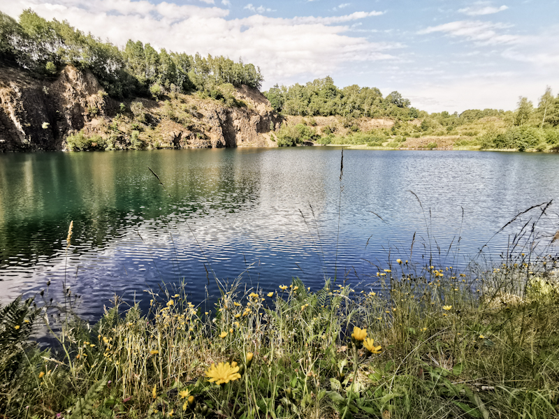
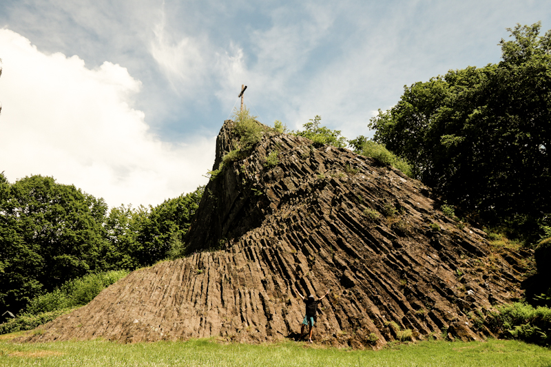
Day 137: Zero Day Siegen
Day 137: Zero Day Siegen
Gegwallde Geschdallde - this was they typically Siegerländer dish Gabi prepared for me yesterday. Delicious and a extremely welcome change after all the trail food.
Today is a typical Zero day for me. Relaxing, taking it slow, getting my thoughts away from the trail and walking.
I spend a lovely day with my hosts tiki-touring the area in their Beetle and the Duck, eating more delicious food (Reibeplätzchen) and simply having good, interesting conversations.
The day is, like all zero days, passing way too quickly. So I want to keep today's short. Enjoying every minute of it.
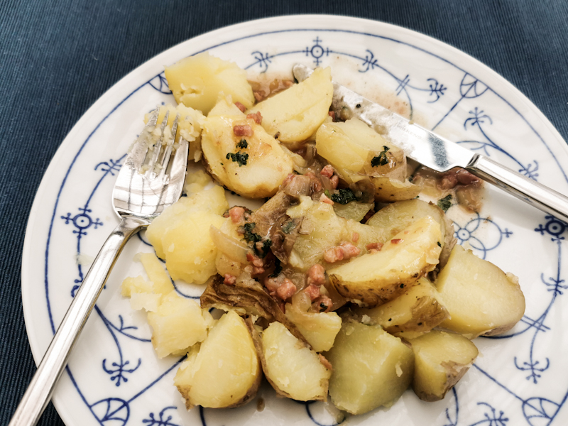
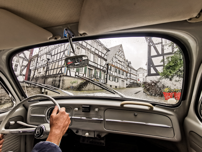
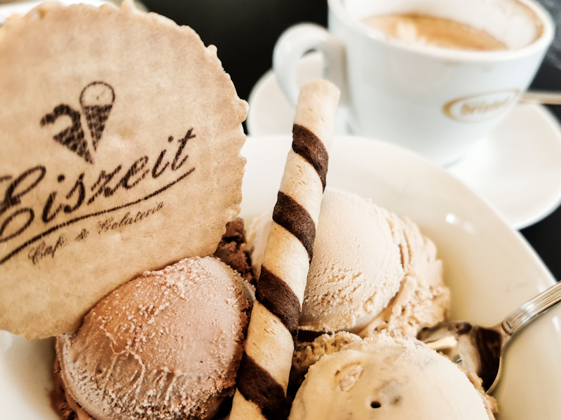
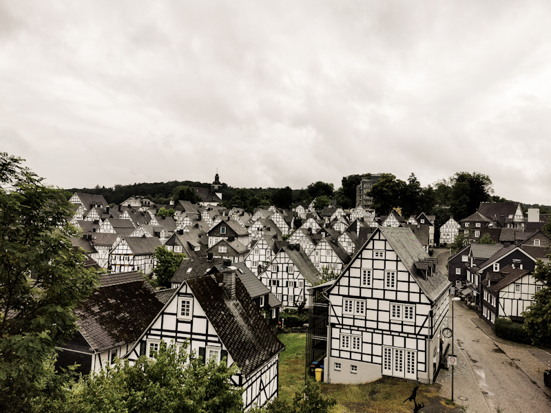
Day 136: It's all About Change
Grossgemeindenstein to Siegen
Distance: 30km
There's this one thing with thru-hiking: you keep moving, have to. Things around you keep changing. Be it the landscape, the food, the people, the weather.
You constantly keep leaving things behind. Mostly good things, but not only.
All you take with you are memories.
Sometimes it is not easy for me to leave things behind. For example leaving the Norwegian mountains for the Swedish forest, leaving a comfortable, warm bed of trail angels for rain and wind outside. It's simply part of the game. And it's a part I love about thru hiking.
Because change can also be the other way. Mosquitoes, mud,... Also these hot days, the sorry looking forest which I am currently experiencing are only temporary. They won't last forever. They will be gone eventually. Maybe tomorrow, maybe in a week, maybe a month. Different things will come my way. Better, worse? I'll walk and see, expecting the unexpected.
With this in mind I make an early start into my day. Trying to beat the heat. It's warm already when I start though, luckily getting considerably cooler once I drop down into the Ilse River Valley, which I'm following for a couple of kilometers. Sometimes the trail is impassable due to fallen trees blocking my way, so I use the road instead. No problem, as I have the road for myself on this early Sunday morning. Highlight, if you want to call it that way, is the Heiligenborn Spring. Apparently, its water can cure all kind of diseases. Despite feeling completely healthy, I refill my water bottle, enjoying a sip of the ice cold water.
The rest of the walking day is fairly unspectacular. A thin, high cloud layer is blocking the sun. It's muggy. Yet, it's a bit easier to walk. Around noon I stumble across the second highlight: a cherry tree. Nothing special about that per se, as I have passed hundreds of them, but this one, standing in the parking lot of Aldi, is full of more or less ripe cherries. Finally, I can eat them. My hiking poles come handy as I can use them to grab some higher limbs.
From the cherry tree in Deuz it's only another 3 hours to Siegen. I let my trail angels, who will host me for two days (I'll do a zero day here. After roundabout 1000 kilometers and 3 weeks, which took me halfway across Germany, I want to give my body a day to recover), know about my ETA of 15:00. An early finish after a comparably short day. On the last couple of meters, some tiny droplets of rain are falling on my head. Change - the only constant in a thru-hiker's life.
7 minutes before 3 I ring the door bell. Gabi, my wonderful host, let's me in promptly. After a quick tour around the house I head straight into the shower. Important things first.
I head down again for some bread and cheese and a Miami Flip - orange juice with vanilla ice cream. Super refreshing after such a day.
Two days ago, Gabi asked my what I'd like for dinner. I replied a local dish would be nice.
She tells me, she had to think hard about what to cook. But found something. Something with potatoes. I'm looking forward to that a lot, curios what she will cook for me!
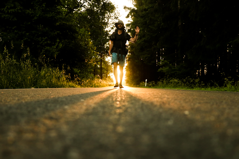
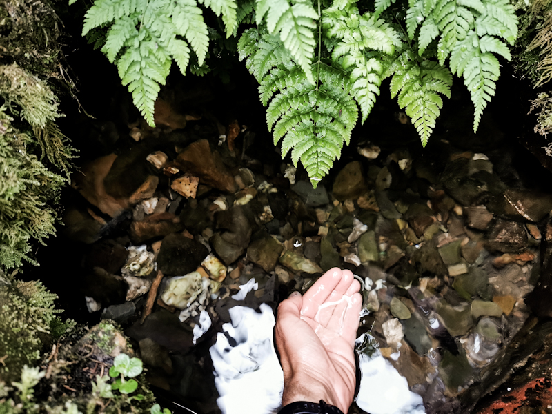
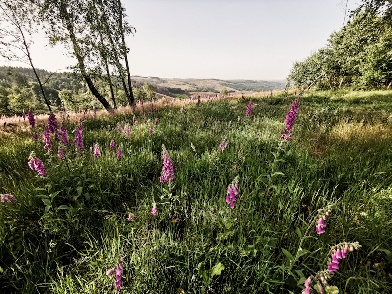
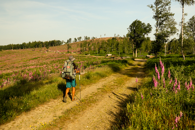
Day 135: Forest, what Happened To You?
Kalte Kirche Shelter to Grossgemeindenstein
Distance: 40km
A similar morning mood like the day before. Only warmer. My motivation to pack and leave could be better. I rather prefer to snooze for another hour until I get itchy feet.
About the hike itself there really isn't much to say. Progress is somewhat slow, with the heat the limiting factor. I take an early break, eating all the food that is still in my backpack. My next resupply is only 8 kilometers or two hours away. In Bad Berleburg.
Once there, I'm a bit reluctant to enter the supermarket. I'm sweating like a bull, my feet and even shins are black from the dusty road. Seeing 90 percent of the customers still wearing their face masks (I wonder why, initially I even wonder if it's mandatory) makes me feel a bit better and I enter the store. Also the desire for an ice cream is becoming too strong. Water and fruits are on top of my list as well though. Keeping myself hydrated.
With 3.5 liters of water in my backpack, I continue. Not many places to fill up water until tomorrow afternoon. And you really don't want to run low on water. Not during this heat wave.
After the initial shock, my body starts getting used to the new weight
10:00 and a temperature gauge at a gas station already shows 33 degrees Celsius. I'm battling with the heat, especially in the climbs. During these moments, I am happy I do all the running in Switzerland. With the acquired stamina I can squeeze out some extra energy.
The forest is of not much use. In many area it's just gone, some scattered, sorry looking trees not bringing any relief.
As during the previous days, the sight of this esolate landscape, truckloads of timber piling up left and right of the forestry roads makes me sad, thoughtful. It's scary what damage human interference can do. I wonder how many years, no, decades it will take for these scars to heal.
Mid afternoon approaches. I'd kill for a swim, even a quick dip into the water. But there's nothing. Nada. How lucky we are in Switzerland with lakes and rivers scattered all over the place.
E1 makes quite a long detour via the outskirts of Bad Laasphe. As I've got everything I need, I decide to make a short cut via Sassmannshausen. Saves me some hours out in the heat.
After another short, late siesta, waiting for the sun to descend a little, loosing a bit of its strength, I continue. A last climb takes me up to Grossgemeindestein. A memorial and two shelters, once surrounded by forrest look a bit lost in the current wasteland. Still, they are as good as any other shelters and do what they are supposed to do. Giving shelter from the sun.
My watch tells me I walked a bit over 40 kilometers. My gut tells me I have done less. Well, better this way than the other way round. Yet, the heat sucked out my energy today. Time to recharge for another hot day tomorrow.
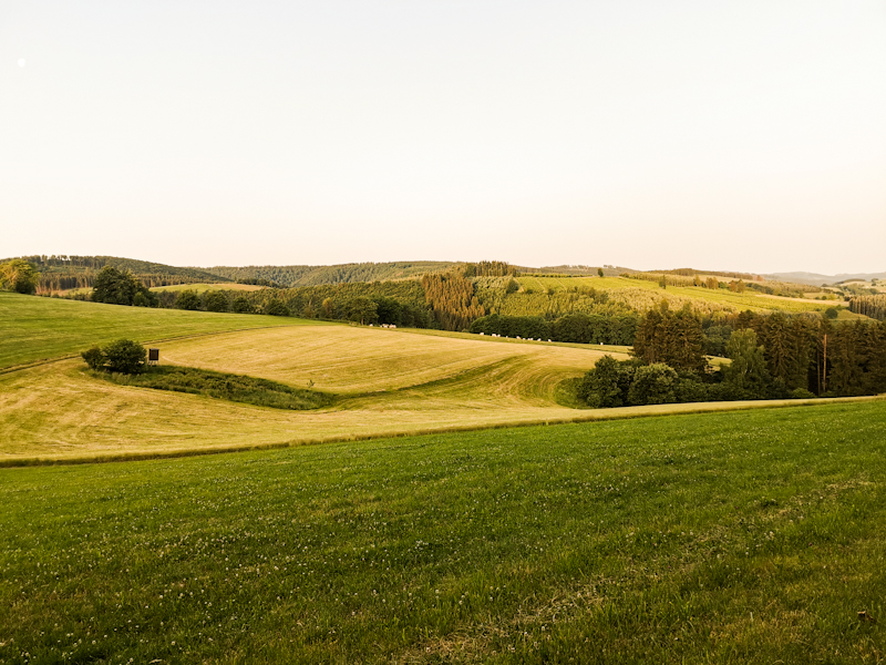
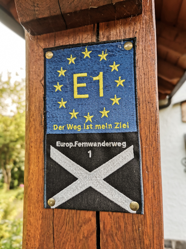
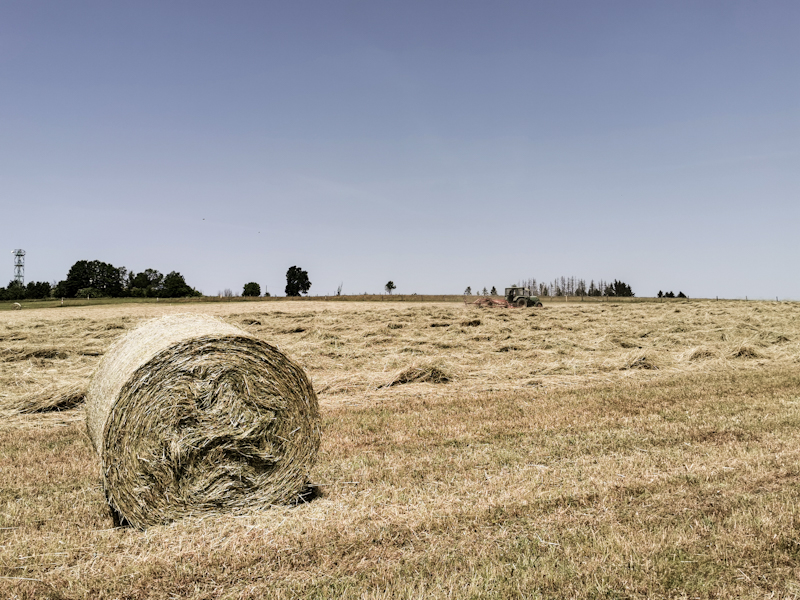
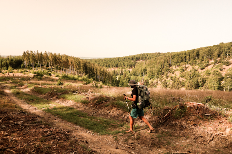
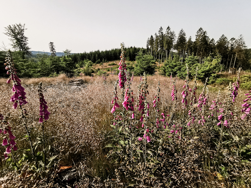
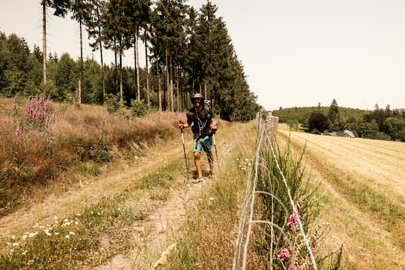
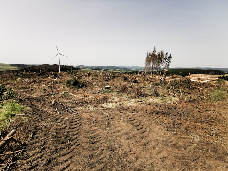
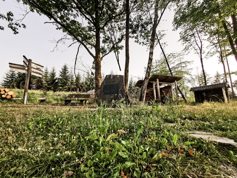
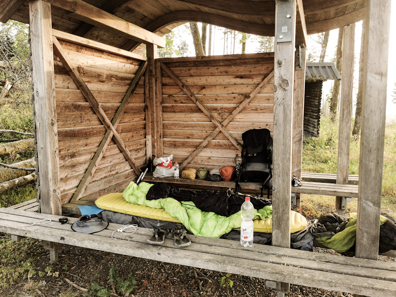
Day 134: I Blame It On Jack
Oelkesberg Shelter to Kalte Kirche Shelter
Distance: 45km
Some high cirrus clouds are decorating the early morning sky, as I start into another hiking day. It's dry, warm. The rich smell of fresh cut grass is hanging in the air. A lovely morning.
The views of the rolling hills in front of the rising sun are fantastic. The landscape is covered in yellow light. I enjoy every moment of it until I head into the forest. And forest is what I see throughout most of the day. A constant up and down (probably the most vertical meters so far), over Heiden and some viewing points like the Kahler Asten, which is crawling with people. Yet, I find a bench, away from the trouble and have a short siesta. The heat is daunting.
After yesterday, today I once more miss a turn and walk into the wrong direction. Half an hour wasted. And as if I don't walk enough already. I can't blame it on the markings. But I can point my finger at Jack Reacher. As main character in the new thriller "Sentinel" by Lee Child. It's captivating. Too captivating. It's consuming my attention. Missing turns the result. Still, I'll keep listening to this audio book. It's too addictive. And time is flying.
During my siesta on Kahler Asten, I also search for possible places to spend the night. I find to options. Antonius Häuschen, along the trail, and Kalte Kirche Shelter 1.5 kilometers off trail. I hope the first option will cut it but after a last strenuous climb from Westfeld it's instantly clear the place is not suitable. So I continue for another 20 minutes. The scenery looks like this morning. Pastures, great views. Time passes quickly and in no time I reach the shelter. It's neat, the view fantastic. Only the root covered floor is a bit of a turn off. Gonna be tricky to find a place to but the mattress. But I am done for the day. No way I continue. And the view is simply too good to continue. And I wouldn't know where to go either.
So I enjoy my dinner with a view. Lentil Fusilli. My favorite 😋
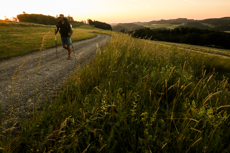
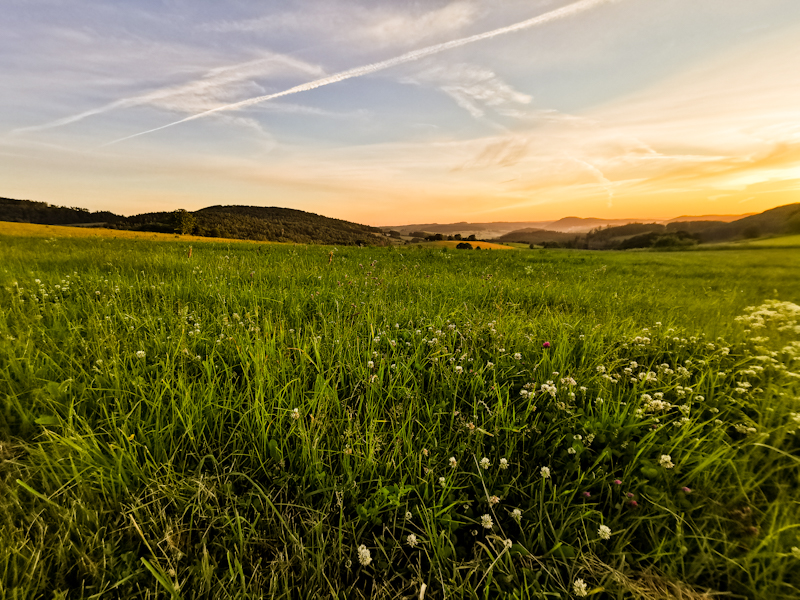
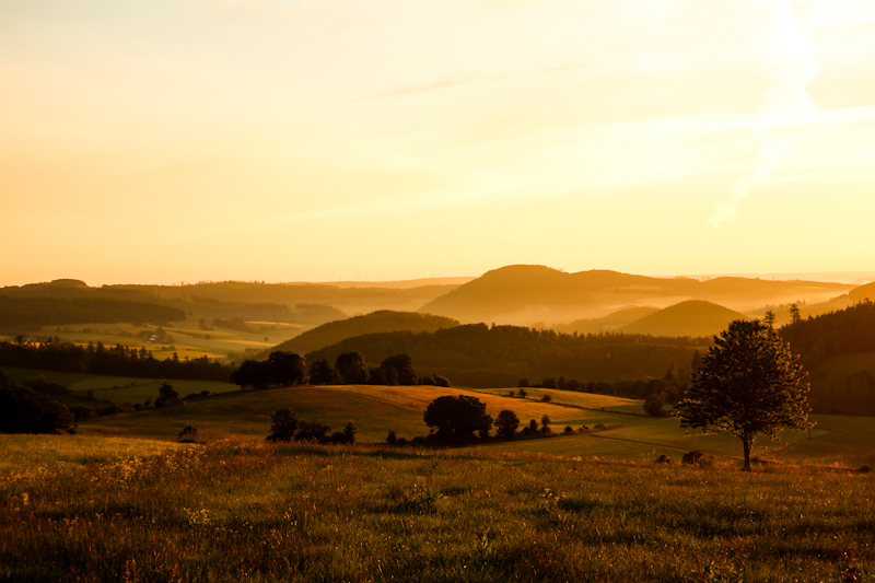
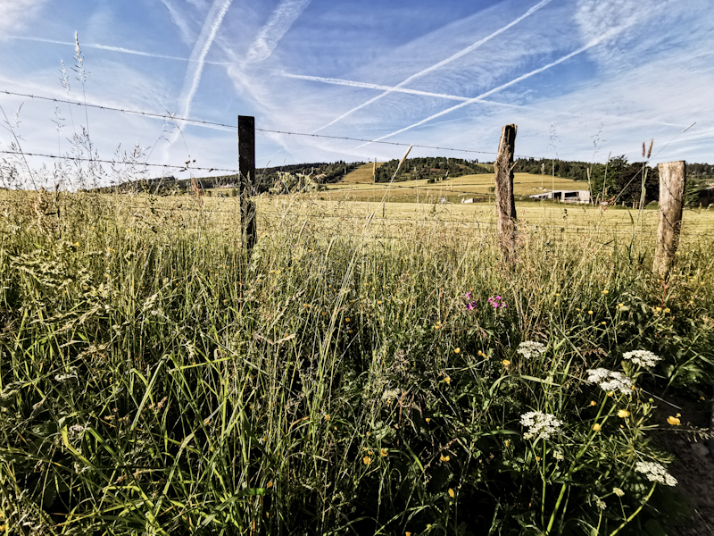
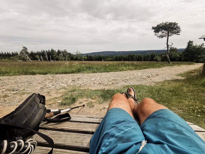
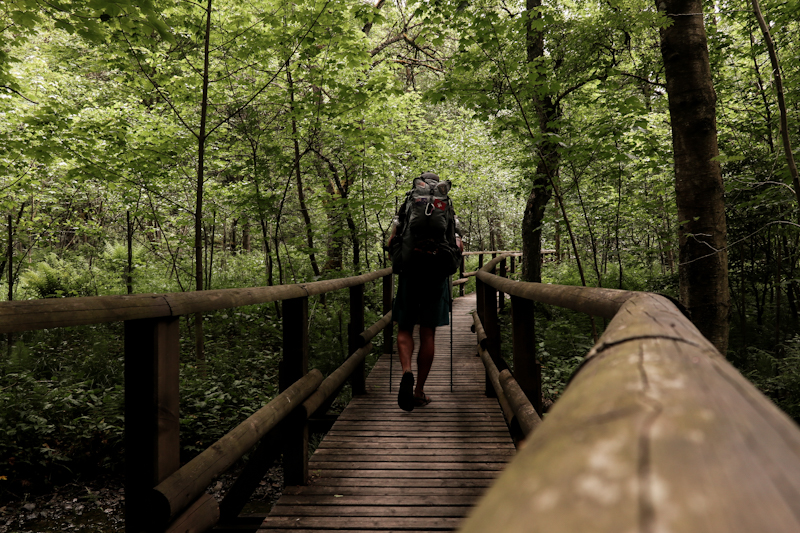
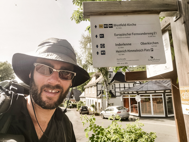
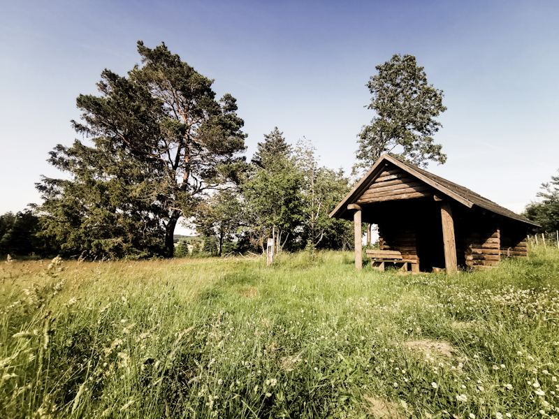
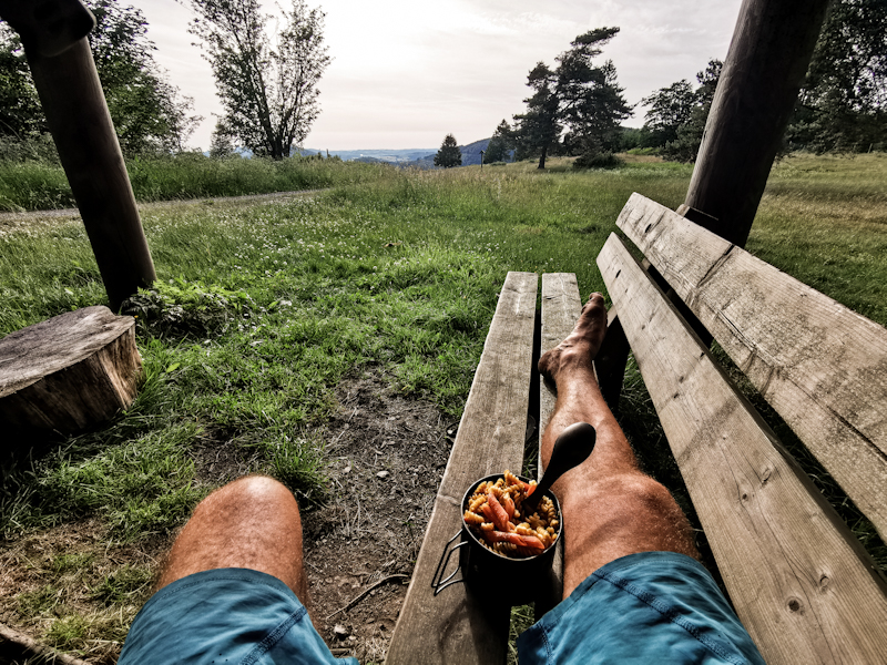
Day 133: Breaking Out of The Routine
Oesdorf to Oelkesberg Shelter
Distance: 40km
Sleeping in is something I haven't done for years. Not because I don't won't to but I am simply not able to.
Also today I wake up at 07:30. Which is super late for me though. I feel fit, refreshed.
After a bit of planning and writing on my blog (which kind of got neglected yesterday for obvious reasons), I join Bernhard, his two very friendly daughters and son in law for breakfast with coffee, warm bread toast, cheese, fresh eggs from his chickens. What a great way into the day!
I take it slowly, don't feel like hurrying to get back on the trail quickly. And...in fact, I already walked a bit today. 2 kilometers from the shelter to Bernhard's house shortly past midnight ;)
After some planning and writing and finally packing, I get ready to go. Bernhard joins me on my first steps today. I really enjoy walking with him. Eventually, it's time to say goodbye. As I make my way out of the village, I am thinking of the great time I had here with these wonderful people. My friend George quoted on my yesterday's blog "All work and no play makes Jack a dull boy". And yesterday's nice experience, the breaking of the trail routine, which basically is hike, eat, sleep and repeat, feels refreshing indeed.
With all the memories in my backpack, walking goes easy. An 11 o'clock start feels a bit weird though as I'm used to start hiking with sunrise. But progress is good. Over farmland mostly with not much forest. Yet, the wind makes walking in the sun rather pleasant. More towns in between make the hike feel less remote than yesterday.
At 20:30 I reach a shelter, which I spotted during my planning this morning. After 40 kilometers it's a good time to end my hike for today. The shelter is a long distance to the next town or road and nobody around, which, after yesterday's nice but also exhausting evening is something I quite appreciate.
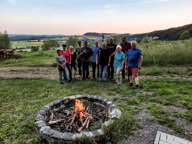
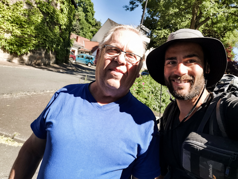

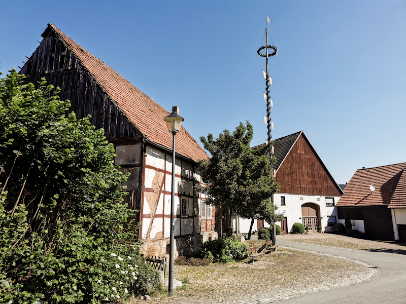
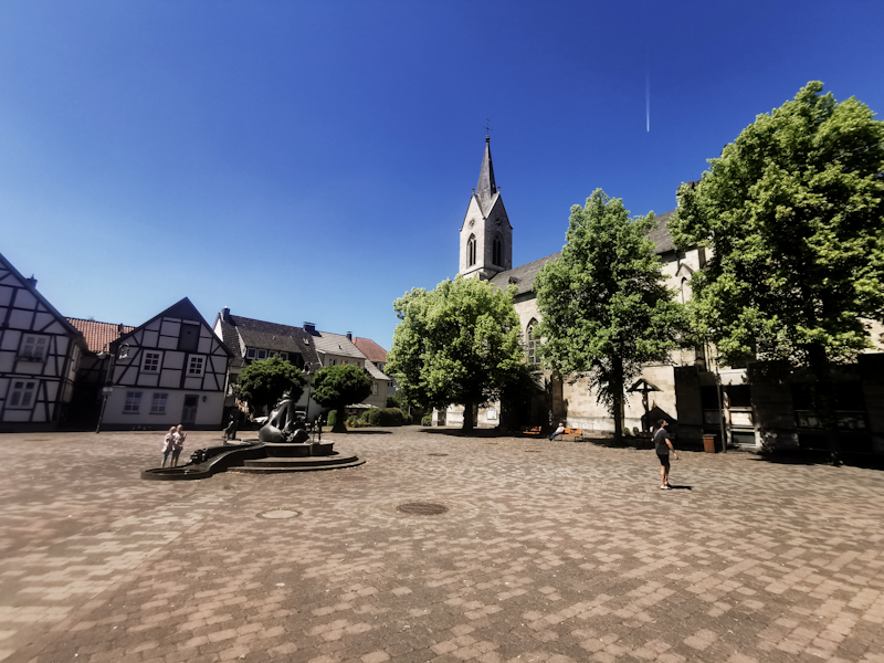
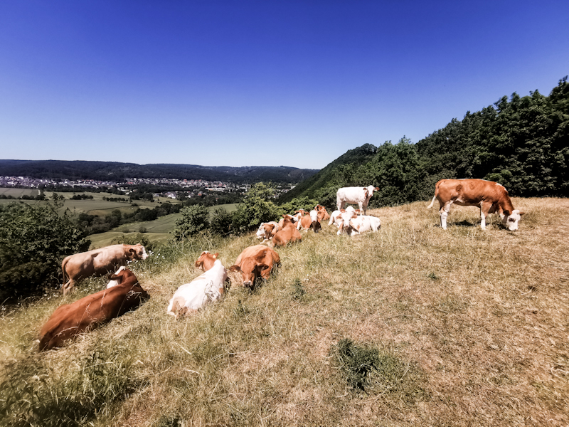
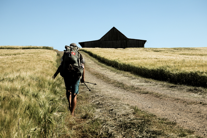
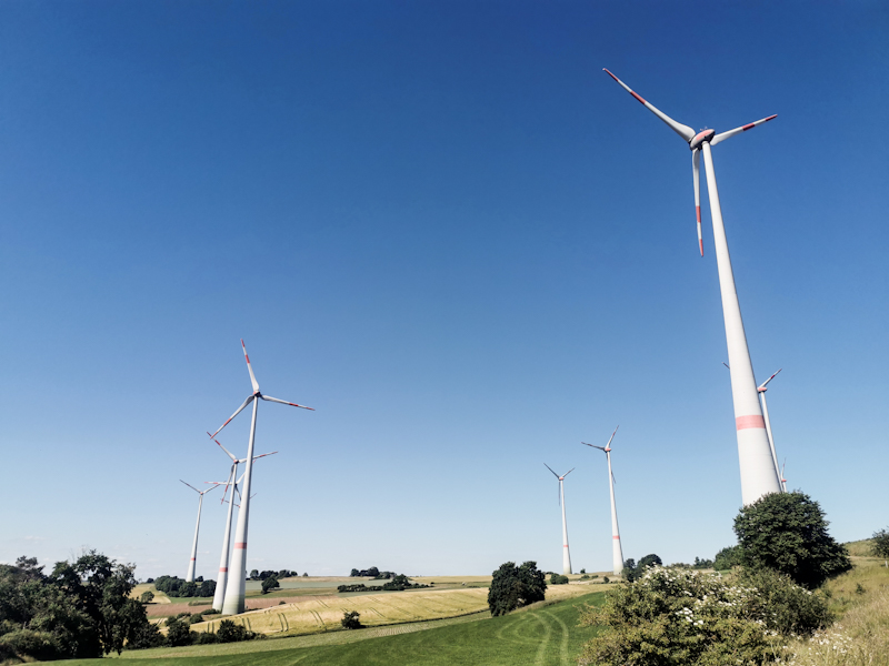
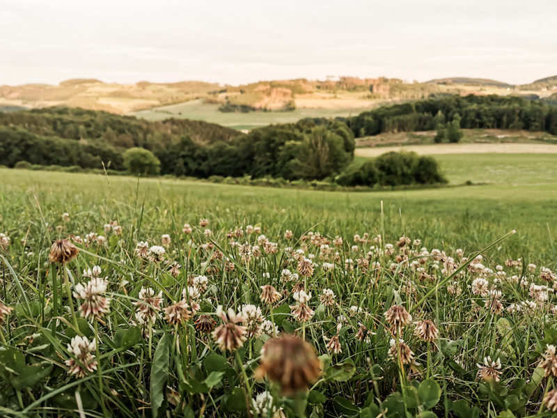
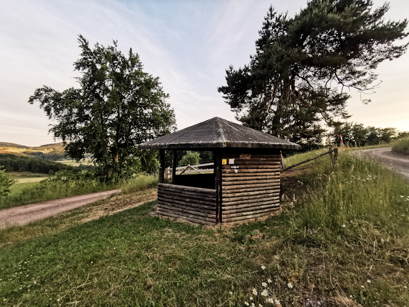
Day 132: Vitamin D (and Beer) Overdose
Velmerstot to Oesdorf
Distance: 50km
Some people showed up for sunset at 22:00, some for moonrise of the supermoon a couple of minutes later.
Since the double decker observation tower is quite big, it never felt crowded.
Sunrise a couple of hours later is spectacular as well. This time I'm the only one up there, I enjoy every minute of it.
With such a wonderful start into my day, it feels like I am floating down along the shallow descending ridge. Shortly after I bump into Johanna, who just got out of her tent and who is doing a multiday hike. We have a nice conversation and after a long hug I am on my way again.
Plenty of the pine forest has become a victim of the Bark Beetle, the lack of rain and storms during the last 10 or so years. It's a sad sight. No shelter from the sun, which is burning down relentlessly. At one point, I open my umbrella, to get at least a little bit of shade. I don't mind the heat, my body seems to cope quite well with it. Yet, progress is getting a bit slower and the feeling of floating has been vaporized by the sun.
Shortly before Blankenrode, I'm under the shade of the trees again. What a welcome change. After 45 kilometers I'm ready to set camp near a shelter a couple of steps away from Blankenrode. It doesn't look too inviting though. A sign says 4 kilometers to the next shelter and, even though I am not really in the physical state to continue I do so anyway.
And oh boy, it is so worth it. Not the walk there, but what I experience at that shelter, where a theater group is celebrating. Before I can put down my pack, I get asked if I an vegan. I deny it and soon sit amongst a cheerful bunch of lovely people, drinking beer, Schnaps and eating lots of delicious food. A great evening with lots of talking and laughing.
It's getting late, or I should rather say early. Shortly past midnight, I get ready to set up my camp (which I had do time and motivation to do before), when Bernhard offers me his couch and a hot shower. I can't believe how lucky this night is turning out for me. Together we walk into the town of Oesdorf and to his beautiful place.
After a shower, it's shortly before 1 in the morning, I call it a day. A long day, an evenful, fantastic day. Definitely one to remember!
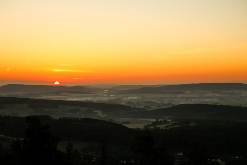
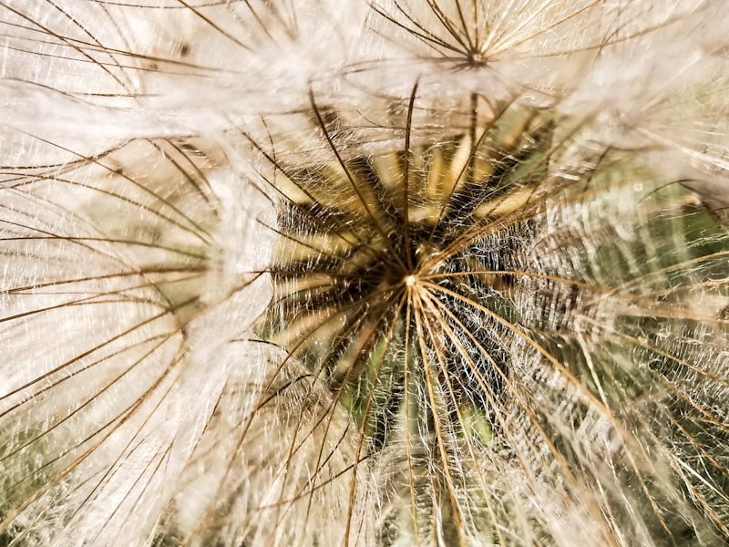
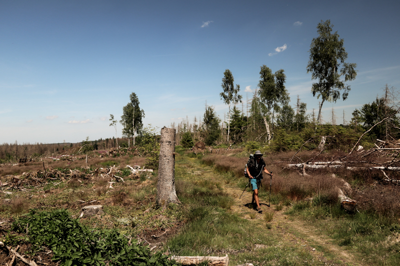
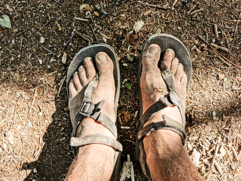
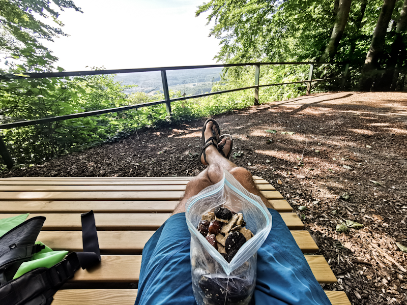
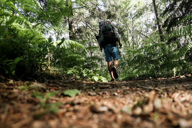
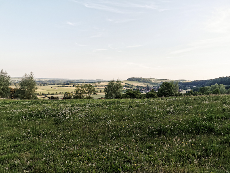
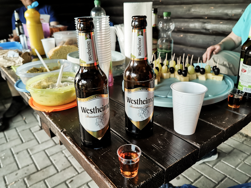
Day 131: Blueberries And A View
Lemgo to Velmerstot
Distance: 35km
A cold, humid night left my tent covered in morning dew. Might sound romantic but it certainly isn't. A wet tent means some extra weight. After a relatively late start, I leave Lemgo behind. As I climb up and out of the cold air, the temperature is rising considerably, making walking much more pleasant. My mood improves even more when I spot some wild cherry. Not completely ripe just yet, but definitely good for eating. Three hours later, I reach Detmold. Time for resupply. As my timing is a bit unlucky (no possibility to resupply tomorrow and day after tomorrow with a public holiday on Thursday), I need 4 days worth of food. Plus 3 liters of water for today, tonight and tomorrow. My body struggles a bit with the increased weight. I need to take it slow.
After a strenuous climb I reach the Herrmansdenkmal, a hilltop memorial to a Germanic chieftain. It is massive, reminds me of the Statue of Liberty. This guy must have left quite an impression.
The next tourist spot are the Externsteine. Some rocks that actually look quite attractive. I think it's a bit of a shame they somewhat ruined by making their tops accessible. I'm surprised they didn't buit a roller-coaster around it too. I leave them behind as well, passing a Heide, packed with blueberries. This comes unexpected as I thought I have left the blueberries behind for good. Even more fantastic to see they are ready to be picked. Even though they are small, they taste delicious. The highlight so far today. Far better than these tourist spots. And that's a reason why I like thru-hiking. Going to these tourist places by car or public transportation, I'd have never experienced that and missed this highlight and would have to be satisfied with the touristy things.
With my belly full of blueberries a short but steep climb takes be up the Velmerstot. Two peaks, one that seems to be in it's original state, the other one heavily altered. Apparently it was used for as a military defense site. Now a massive observation tower sits on top of the flattened peak. The views are staggering. Clear sky, excellent visibility. After another somewhat tough day for me, mostly through forest, I'm soaking up the scenery, getting the motivation to keep trekking southbound.
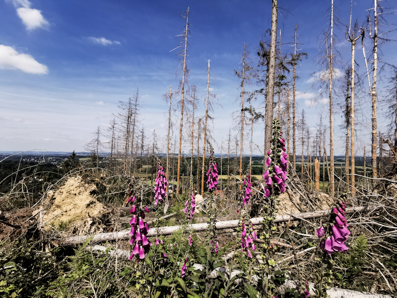
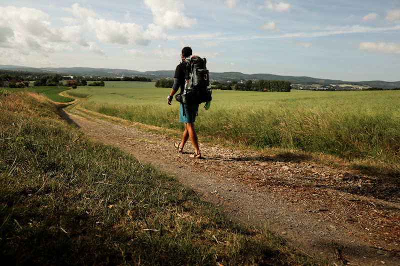
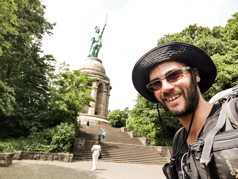
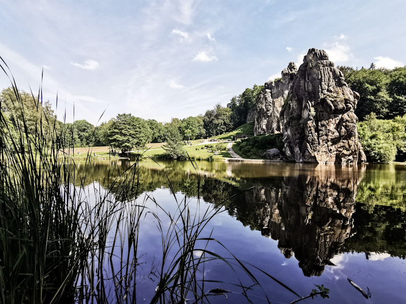
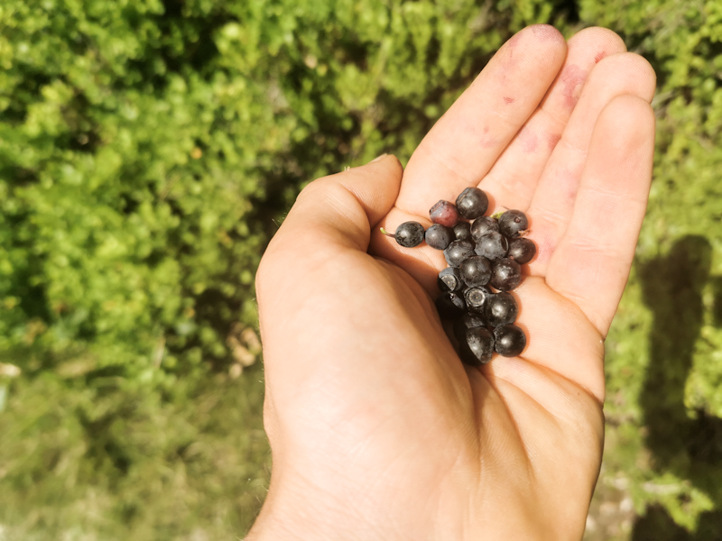
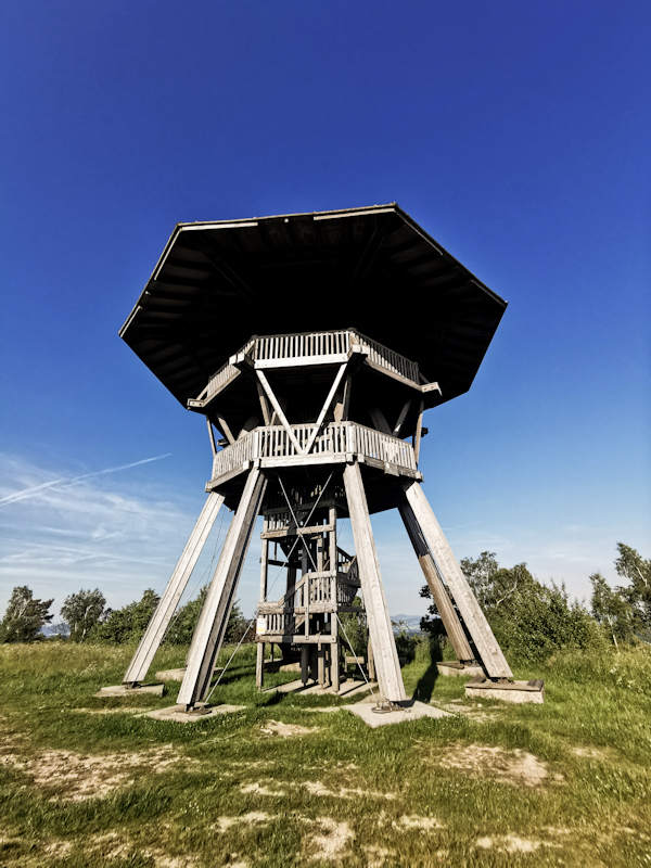
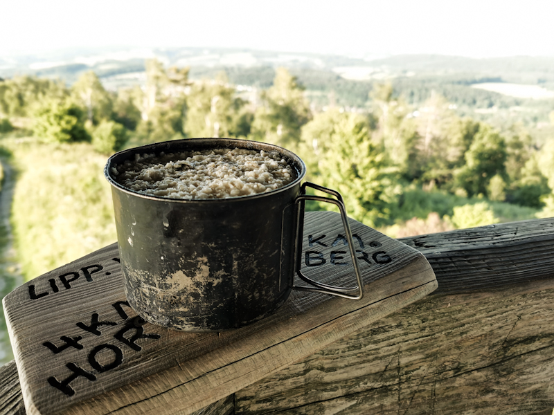
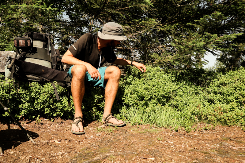
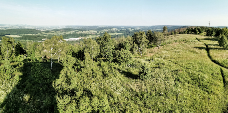
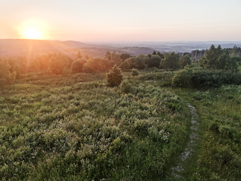
Day 130: Up's And Down's
Shelter near Ahorn to Lemgo
Distance: 35km
Many up's and down's today. Not only the terrain but also regarding the weather, the trail and my hiking spirit
Weather: The days starts with some shy rays of sun, followed by a shower of rain, sun, more heavy rain, sun, rain and sun again to finish the day with. Wind makes it uncomfortably chilly at times. Luckily I have my umbrella handy, preventing me from getting soaked.
Trail: the first couple of kilometers are overgrown. It's walkable, no question, still, the stinging nettles and the ticks make it a rather unpleasant walk. The trail experience improves and plenty of lovely walk through beech forest follows. I very much enjoy this kind of forest as it provides a good balance between shelter without feeling too confined due to the limited undergrowth. And of course the contrast between the light green leaves, the blue sky shining through and the golden leaves on the floor from last year make for a pleasant contrast.
Hiking spirit: the weather and trail are obviously influencing my hiking spirit. It's a tough start into the day, feeling a bit stiff and exhausted from the previous day. After an extensive break on top of the observation tower of Asch, to wait for a shower to pass, I feel much better and walking goes surprisingly easy for the next two hours, when I start feeling dizzy. A heavy head. A feeling I have not yet encountered on any of my hikes. I take another long break, having a short nap.
While the nap didn't work wonders, my head still feels clearer on the last 3 kilometers into Lemgo. I have another stop to clean my dirty feet, get some food and manage to make it to my 1nitetent host right on time.
They ask me if I need anything. Shower? Laundry? I say yes twice, the full program. They reply their son is a thru-hiker as well and therefore know the drill of being trail angels. He's currently hiking Cape Wrath Trail. A small world.
They invite me to join dinner and we end up talking until late. What a nice ending of a turbulent day.
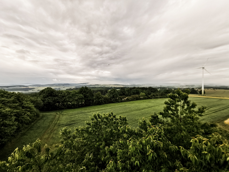
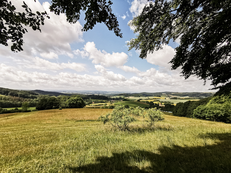
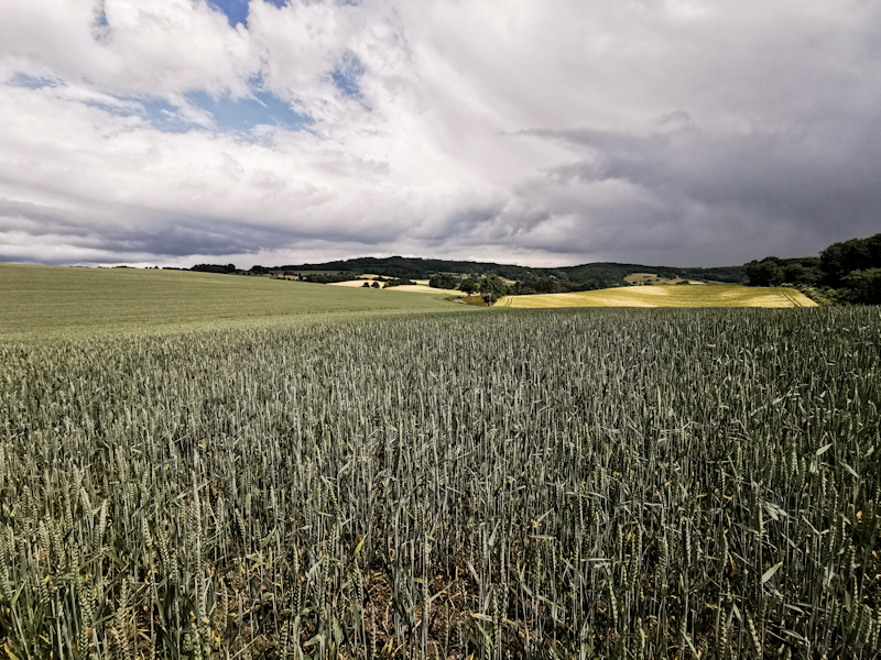
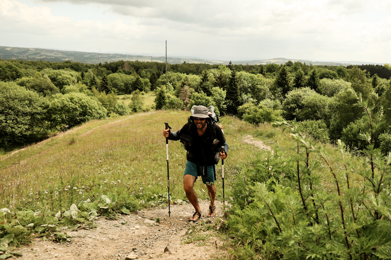
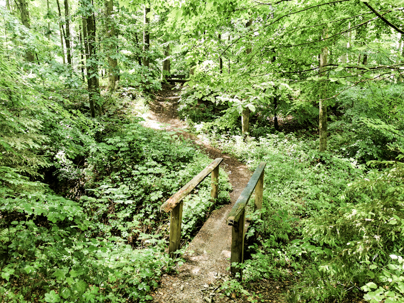
Day 129: Burning Legs
Alte Taufe to Shelter near Ahorn
Distance: 50km
Sleeping in or without my sleeping bag - that's the question. The temperatures don't make it easy to decide. While sleeping without a sleeping is too chilly, sleeping in the bag is too warm and I ended up waking up several times, either to slide in or out of my sleeping bag.
A bit tired I continue my hike along the shallow, wide ridge. While the sun is out, the trees are blocking the views. The ridge is scattered with all kind of antennas and measuring equipment. Of them all mainly the radar used for Air Traffic Control catches my attention. Eventually, I climb down the Deister ridge and enter Münden. A small but charming town. Again I enter forest and climb the next hill.
Throughout the day it is a constant up and down. Especially, the climb after Hameln, yet another nice town, is steep. The 3 liters of water doesn't make it easier (I deviated from the trail earlier to pass through a cemetery. And sure enough they had a water tab there).
By this time I already have 40 kilometers in my legs with most of the energy gone. Still, I manage to continue for another 10 kilometers through undulating terrain when I spot the shelter, which I looked up beforehand. Since it's never really clear if they are suitable to sleep in, I am delighted to see this one is.
And the view is lovely. Probably the best view I have had so far in Germany.
It's also been the toughest day in Germany. 50 kilometers on flat terrain is one thing but 50 kilometers with more than 1000 vertical meters another. I'm glad to feel that, even though I am pretty tired and my legs are burning as I'm writing these lines, my legs and lungs still have power for all this climbs. With this in my mind, I am actually looking forward to tackle the hillier terrain ahead of me.
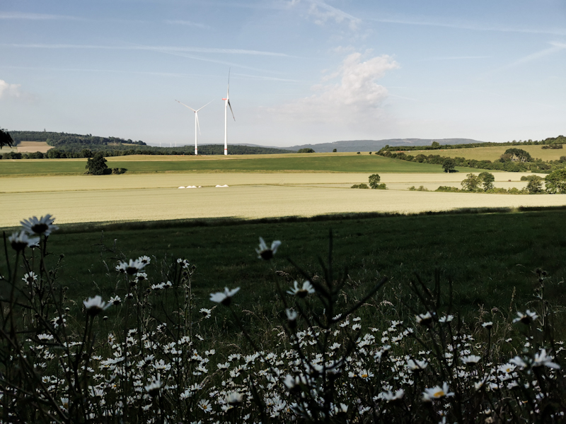
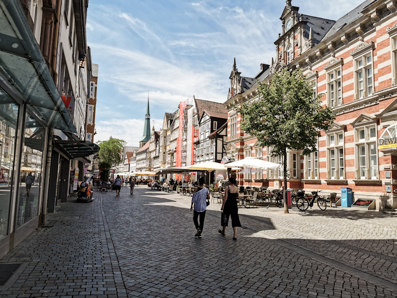
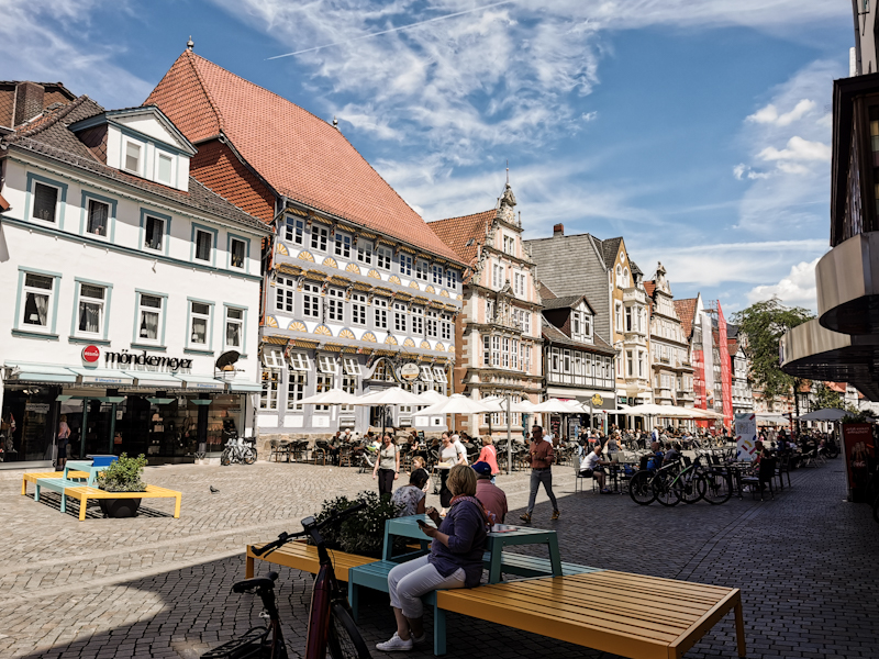
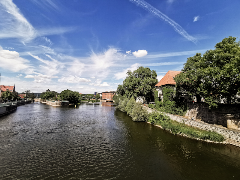
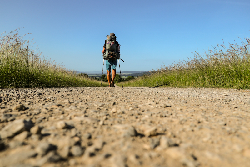
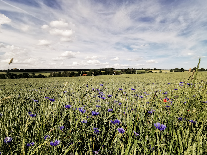
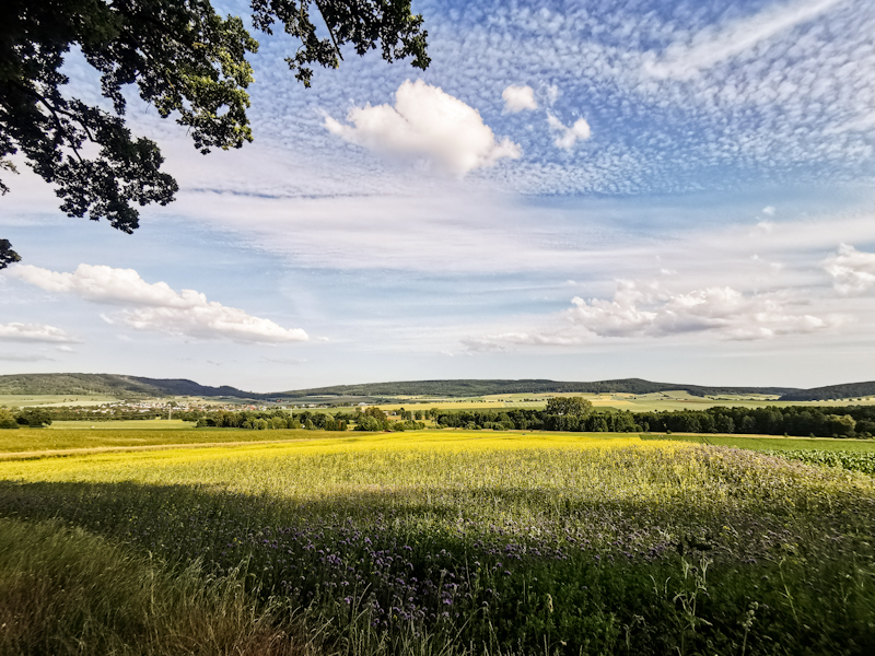
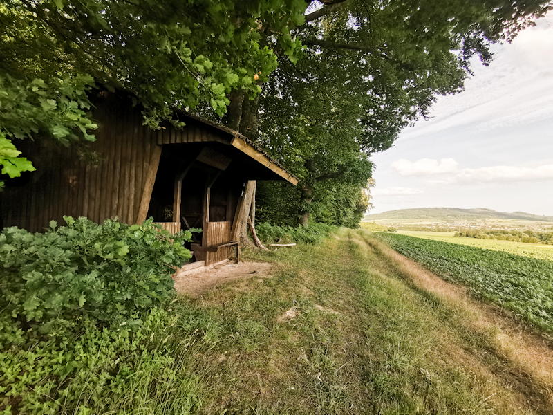
Day 128: The Hills Are Calling
Day 128: Leine River to Traufe (Dreister Ränge)
Distance: 45km
One of my most uncomfortable nights was in the dunes on Jeju Island, South Korea, many, many years ago. A storm surprised me overnight. Strong winds and heavy rain left me and all of my gear completely wet and full of sand.
I was a greenhorn back then when it came to camping.
Therefore, I was a bit sceptical pitching my tent on the sand.
The night was calm though. No wind, no rain but warm. A decent sleep.
The walk to the Steinhuder Meer is pretty boring. Along an air base, where obviously nothing was going on at 05:00 on a Saturday. Mosquitoes were annoying me big time. Luckily, a bit of repellent is keeping them away.
Eventually, I have the Steinhuder Meer ahead of me. It's larger than I was expecting. It is still before 07:00 so the place is quite empty. Only some early birds are running and cycling along the lake. But by all the ice cream shops and restaurants it's obvious that the place will be packed by noon.
A bit further along the lake, I walk onto a pier, go for a swim. With a max depth of three meters, it's a shallow body of water. When I crawl I continously touch some kind of sediments. A weird feeling. Yet, I thoroughly enjoy the swim. Out of the water, I sun dry myself and do some exercises, which I noticed make walking easier.
The remaining day, well a mix of forest and open fields. Some short streches of the forest trails are overgrown and I collect ticks en masse and fight my way through stinging nettles. Painful. And annoying as I miss a turn at one point and end up backtracking. It's complaining on a high level though. Compared to Sweden, it's a walk in the park.
In Bad Nettdorf I resupply for the upcoming two days. I throw everything in my bag and head off again. I'm in a hurry. I've got some precious cargo in my backpack: A cup full of Ben&Jerry's half baked brownie & cookie dough. My absolute favorite I only eat when I got something to celebrate. And today I celebrate 2 weeks on the trail. Nothing too exciting but still...
I don't want to eat it in front of the supermarket but a bit of a nicer place. Like a pond I saw on the map, being 1.5 kilometers away. As I get closer, construction works block my way, forcing me to make a detour. With temperatures above 25 degrees, I'm worried, the ice cream might turn into a milk shake. What a nightmare! So I keep pushing.
And it's well worth it. To my delight, the ice cream survives the heat just fine.
With my belly full of ice cream, I finally head into the hills. Nothing too challenging but rather a gentle up and down after two weeks of flat terrain. My legs are definitely not used to it anymore so I take it slow, take plenty of breaks. After another long day, I'm happy when I spot a suitable place along the wide ridge to spend the night.
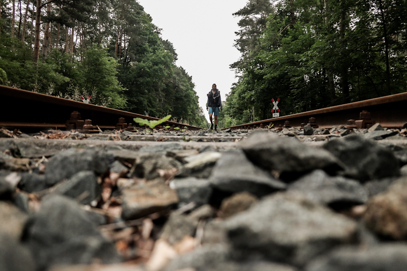
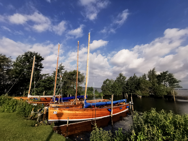
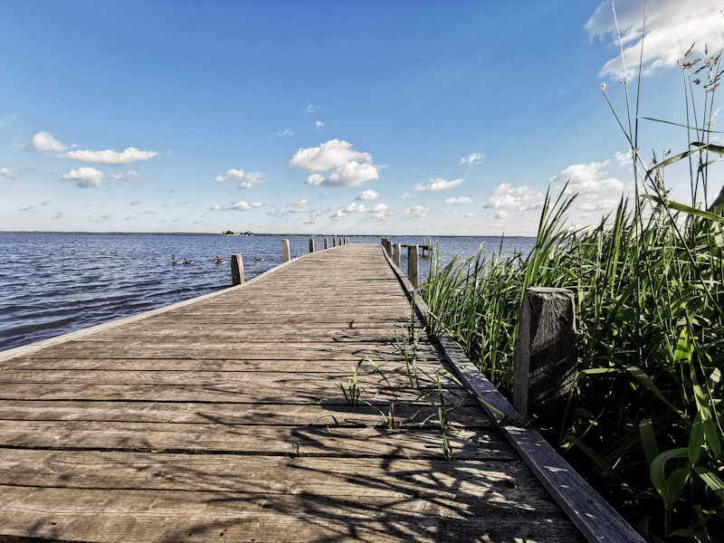
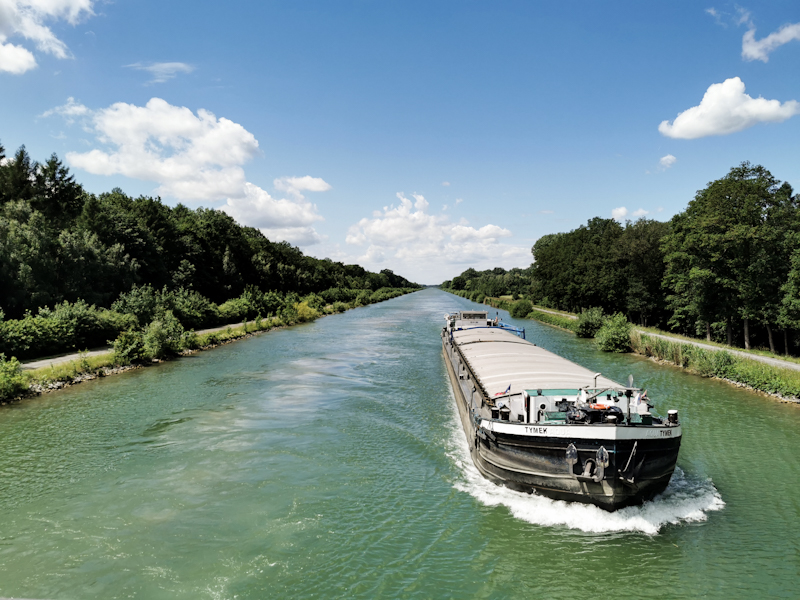
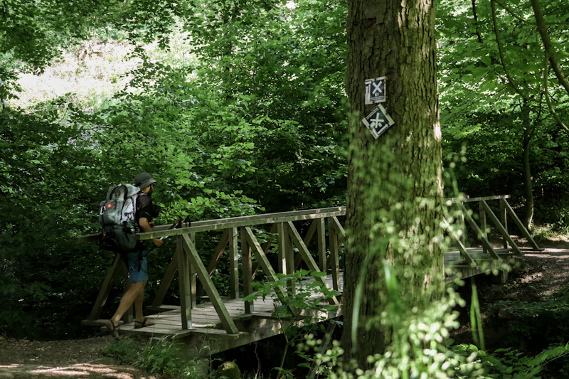
Day 127: Back To School
Celle to Leine River
Distance: 50km
With no predetermined plance to camp for the night, I'm not in rush to hit the trail.
When I eventually do, it's a 3 or so kilometers walk out of town. I cross the railway tracks, where I was on my way up north two weeks ago. Up there on the bridge, marks probably the highest point of today's walk as well. Yes, the terrain is flat as a pancake in this part of Germany.
Walking goes as smoothly as it has never done since Flensburg. The beautiful spring weather certainly helps. So does the super marking of the trail, which improved drastically since the Hannoveraner Wander - und Gebirgsverein (Hiking Club) too over from ther colleagues from Hamburg.
Scenery wise it's nothing too spectacular. Plenty of forest, plenty of farmland with a few small towns in between. Mostly the walk is on forrest roads with the odd single trail. Where I pick up plenty of ticks and also get lost at one point. I bash my way through the forest. On the way back to the track, I pick my first blueberries of the season. The hours are passing and so do the kilometers. Progress is much better than expected and at around 18:00 I check the map for possible places to pitch my tent. Before doing so, I pass through the town of Otternhagen. As I am running low on water and don't feel like dry camping tonight without warm food, I ask a friendly looking woman for some water. She quickly hands me a whole bottle and also offers to prepare some sandwiches for me. Hungry as I am, I happily agree. Thank you very much :) After a nice talk with her and her hubby and with three lunch bags in my pack, I tackle the last 5 kilometers of today. They too are done without much effort. By 20:00 I reach the campspot that I've seen on the map. It's a bit sandy but otherwise looks decent with a nice view over the Leine River. I haven't pitched my tent yet but am eating sandwiches and the other sweeties, which I find in my "lunch bag": Smarties and Haribo. Stuff I haven't eaten since I was a school kid. They bring back good memories. They make me feel like I'm back at school on a school trip, especially since I am eating and writing these lines on bench, way too big for me.
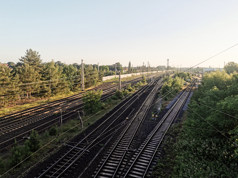
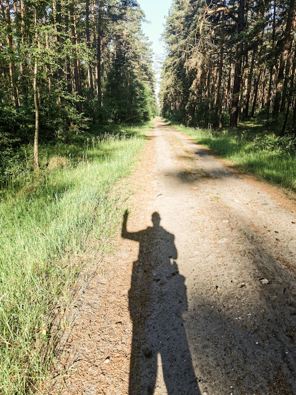
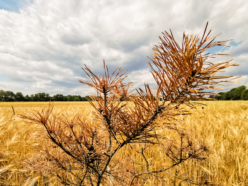
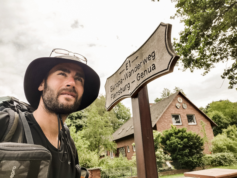
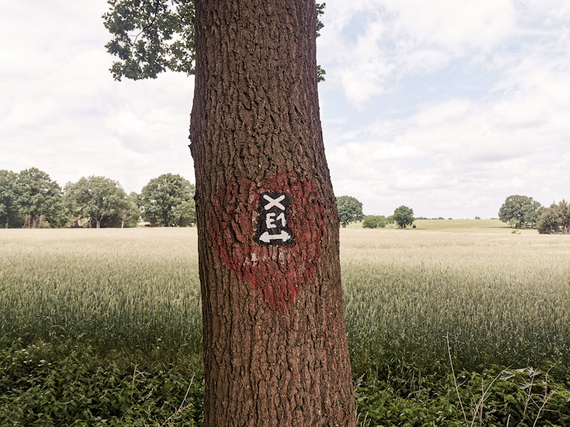
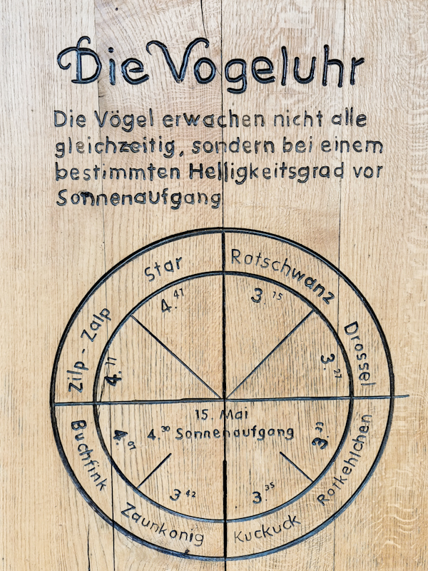
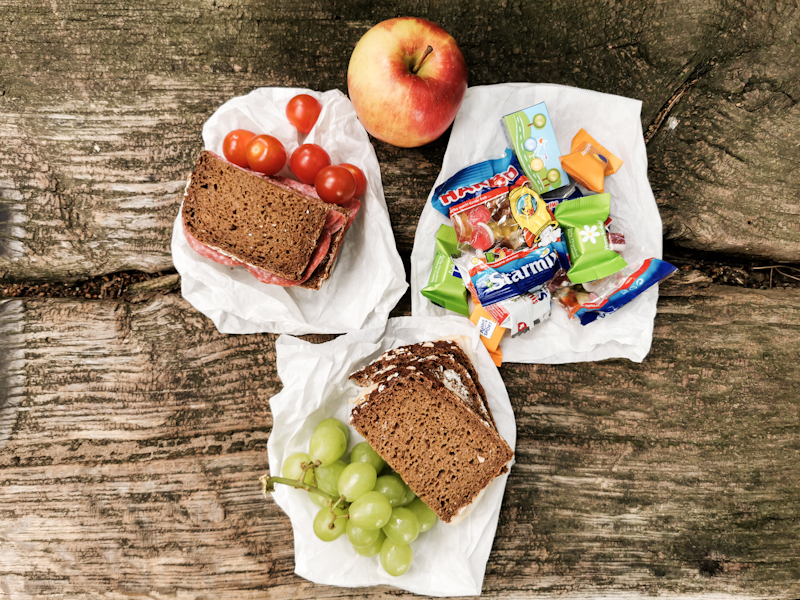
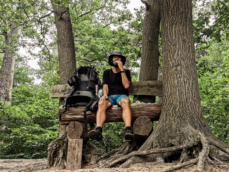
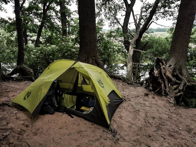
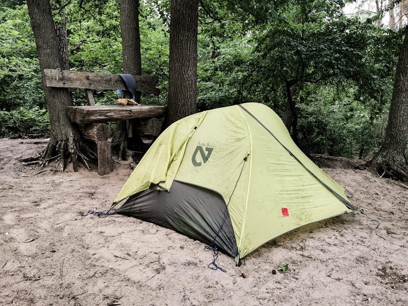
Day 126: A Swim A Day...
Wietzer Berg to Celle
Distance: 45km
The forecasted rainfall did not happen. Good for me because while I was lying there in my sleeping bag, staring at the ceiling, I noticed all the holes, which would have made a rainy night fairly uncomfortable.
About the hike, well what can I say? Plenty of forest, with some nice Heiden (heathland) in between. To my delight, there's also a lovely pond waiting for me to jump in. After 3 days without the possibility for swimming, I thoroughly enjoy my couple of minutes in the pond, which I have all to myself. Coming out of the water, I feel refreshed, recharged. And it shows me once more: a swim a day keeps the worries away.
The next possibility to swim will be at Steinhuder Meer, where I will be the day after tomorrow. With a diameter of 5 kilometers but only a maximum depth of 3 meters, I'm curious to find out how warm the water is.
The pine forest, bringing back memories from Sweden, eventually ends as I get closer to Celle. After crossing an airfield mid-runway (I mentioned this especially for you, George ;) I soon walk through the suburbs of Celle. A sad sight. Dirty and run down. The city center however, blows me away! Absolutely spectacular with all the half-timbered houses side by side, all in different colors. I surely was not expecting that from a city, which name I first heard on my way up to Flensburg as it was the second to last stop before Hamburg.
I thoroughly enjoy my walk through the town. It's crowed though and I, after 45 kilometers, feel like getting to my camp spot asap. 1nitetent it is for tonight. 2 kilometers out of the city center with a hot shower and electricity. All I need. I share the lawn with a couple and their young daughter on their way from Lübbeck to Verona by e-bike. We have a lovely chat and I admire the patience they have to do such a journey with a 4 year old. Eventually, I excuse myself. It's been a long day and there's still some planning to do for tomorrow: An interesting day. Not so much because of the scenery - it's mostly farmland and forest - but rather because I have literally no idea where to spend the night. There's nothing else than some patches of forest (which are not always suitable because of the ticks) and some farmhouses. Having arrived in the thru-hiking mode my now, I don't worry to much about it now. I can do that tomorrow evening.
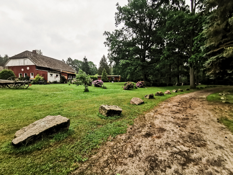
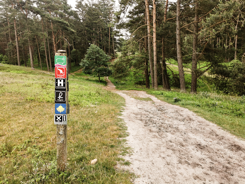
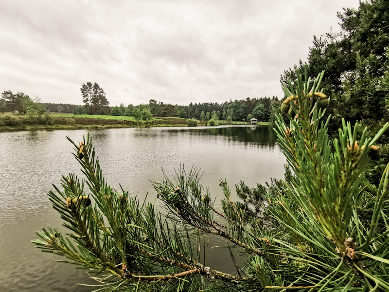
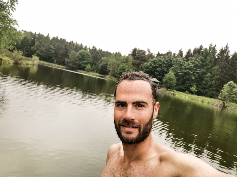
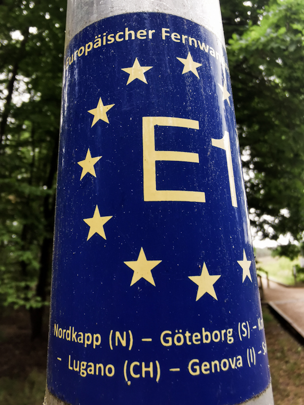
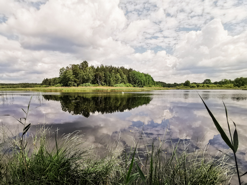
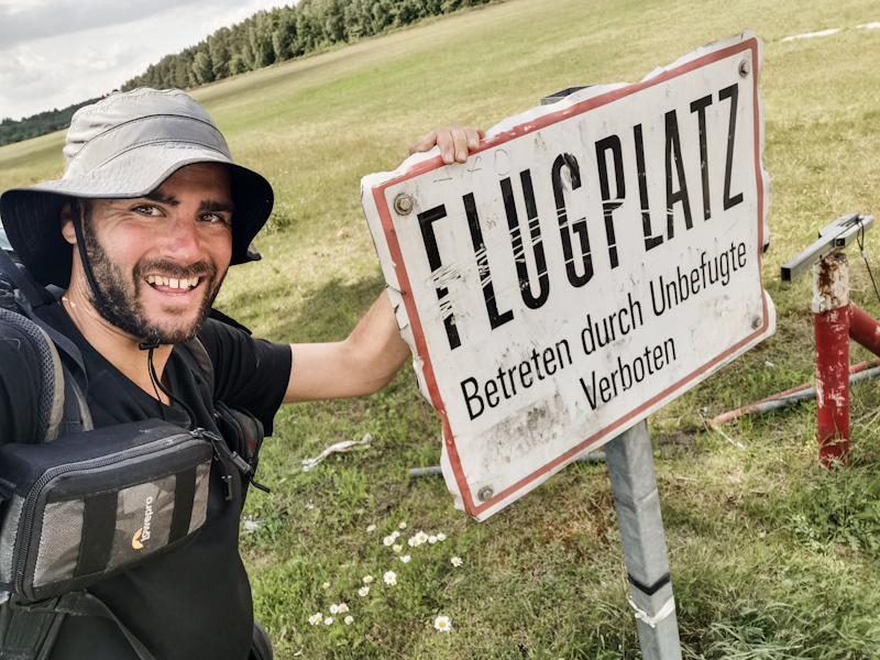
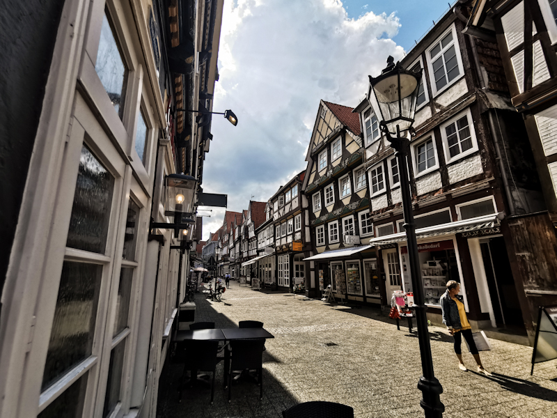
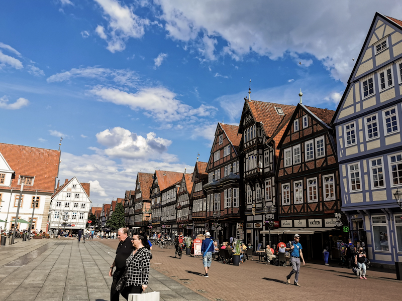
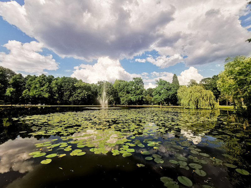
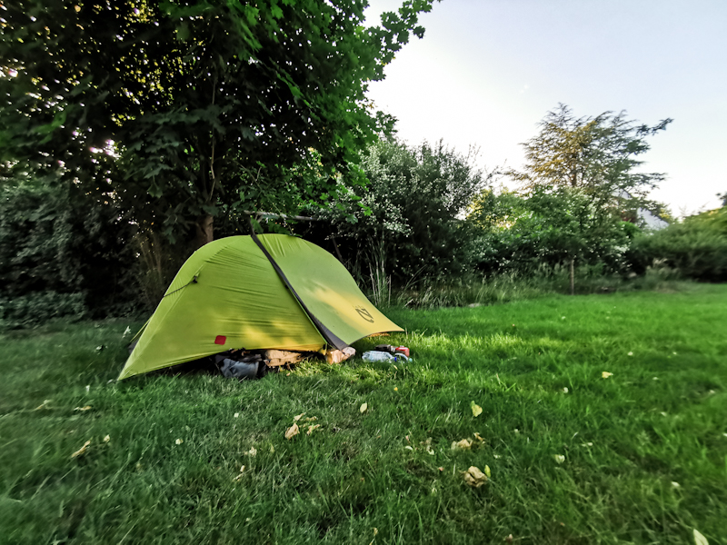
-
- 07/06/2023 - Ha det bra! Moi moi! Hej då! Hej hej! Tschüss! Ciao!
- 07/01/2023 - Section 4 - Midlle and South Italy. Some thoughts.
- 06/29/2023 - Day 219: The Last One!
- 06/28/2023 - Day 218: Saved By A Naked Dutchy
- 06/27/2023 - Day 217: Rubber Melting Hot
- 06/26/2023 - Day 216: 1 Day, 2 Worlds
- 06/25/2023 - Day 215: Back Solo
- 06/24/2023 - Day 214: One Step In Front Of The Other
- 06/23/2023 - Day 213: Off The Beaten Track
- 06/22/2023 - Day 212: Teamwork
- 06/21/2023 - Day 211: Sicily Calling
- 06/20/2023 - Day 210: Hardcore Beach Walking
- 06/19/2023 - Day 209: The Beach It Is Again
- 06/18/2023 - Day 208: Beach Hopping
- 06/17/2023 - Day 207: Azzurro
- 06/16/2023 - Day 206: A Long Way I Go Over The Hills And Along The Coast
- 06/15/2023 - Day 205: Blue Sky Ahead
- 06/14/2023 - Day 204: Hike And Swim
- 06/13/2023 - Day 203: Getting Wet By Choice
- 06/12/2023 - Day 202: Drenched
- 06/11/2023 - Day 201: A Plane In The Sky
- 06/10/2023 - Day 200: 200!
- 06/09/2023 - Day 199: A Little Bit Of Fighting
- 06/08/2023 - Day 198: Whatever The Weather
- 06/07/2023 - Relaxing, Recharging, Replanning
- 06/03/2023 - Day 197: A Change Of Plan
- 06/02/2023 - Day 196: Down Into The Heat
- 06/01/2023 - Day 195: Wide Open
- 05/31/2023 - Day 194: Straying
- 05/30/2023 - Day 193: Spotted!
- 05/29/2023 - Day 192: A Little Bit Of Luck
- 05/28/2023 - Day 191: The Shower Is Calling
- 05/27/2023 - Day 190: Flower Power
- 05/26/2023 - Day 189: The Road It Is
- 05/25/2023 - Day 188: Lost And Found
- 05/24/2023 - Day 187: Coffee And Cake For Motivation
- 05/24/2023 - Day 187: Coffee And Cake For Motivation
- 05/23/2023 - Day 186: Ticks And Thunder
- 05/22/2023 - Day 185: Here We Go Again
- 05/21/2023 - Here We Go Again
- 09/22/2022 - Day 184: Tutto Posto
- 09/21/2022 - Day 183: Ready To Call It A Thru-hiking Year
- 09/20/2022 - Day 182: Libro Aperto - The Open Book
- 09/19/2022 - Day 181: Keeping On Going
- 09/18/2022 - Day 180: Up High
- 09/17/2022 - Day 179: What A Ride
- 09/16/2022 - Day 178: Zero Day 2 Pontremoli / Riomaggiore
- 09/15/2022 - Day 177: Zero Day 1 Pontremoli
- 09/14/2022 - Day 176: Wind Of Change
- 09/13/2022 - Day 175: Norway? New Zealand? Italy!
- 09/12/2022 - Day 174: Ups And Downs
- 09/11/2022 - Day 173: Mediterranean Moment
- 09/10/2022 - Day 172: The Hills Are Calling
- 09/09/2022 - Day 171: Contrasts
- 09/08/2022 - Day 170: Long And Lucky
- 09/07/2022 - Day 169: Going With The Flow
- 09/06/2022 - Day 168: Rivers, Lakes And Little Motivation
- 09/05/2022 - Day 167: Tackling Country Number Seven
- 09/04/2022 - And The Show Goes On
- 09/04/2022 - Summer Memories
- 07/19/2022 - Day 166: Switzerland - Done And Dusted
- 07/18/2022 - Day 165: Having The Legs
- 07/17/2022 - Day 164: Buongiorno Ticino
- 07/16/2022 - Day 163: A Wonderful Surprise
- 07/15/2022 - Day 162: The Heart Of Switzerland
- 07/14/2022 - Day 161: The Mountains Are Calling
- 07/13/2022 - Day 160: Zero Day 2 With An Ode To My Backpack
- 07/12/2022 - Day 159: Zero Day 1
- 07/11/2022 - Day 158: Home!
- 07/10/2022 - Day 157: A Tough Job
- 07/09/2022 - Day 156: Grüezi Schwiiz (Hello Switzerland)
- 07/08/2022 - Day 155: Meandering
- 07/07/2022 - Day 154: The Gorge
- 07/06/2022 - Day 153: Two Early Birds
- 07/06/2022 - Day 152: The Highlands
- 07/05/2022 - Day 151: Challenging But Rewarding Black Forest
- 07/03/2022 - Day 150: Views, Views And More Views
- 07/02/2022 - Day 149: A Taste Of Home
- 07/01/2022 - Day 148: Black Forest Calling
- 07/01/2022 - Day 147: Zero Day Pforzheim
- 06/29/2022 - Day 146: Same Same But Different
- 06/28/2022 - Day 145: Farmland Fun
- 06/27/2022 - Day 144: Tough Walk In The Rain
- 06/26/2022 - Day 143: Encounters
- 06/25/2022 - Day 142: Contrasts
- 06/24/2022 - Day 141: An Electrifying Ending
- 06/23/2022 - Day 140: Some Proper Hiking
- 06/22/2022 - Day 139: Reset Needed
- 06/21/2022 - Day 138: Mid-summer Berry Heaven
- 06/20/2022 - Day 137: Zero Day Siegen
- 06/19/2022 - Day 136: It's all About Change
- 06/18/2022 - Day 135: Forest, what Happened To You?
- 06/17/2022 - Day 134: I Blame It On Jack
- 06/16/2022 - Day 133: Breaking Out of The Routine
- 06/15/2022 - Day 132: Vitamin D (and Beer) Overdose
- 06/14/2022 - Day 131: Blueberries And A View
- 06/13/2022 - Day 130: Up's And Down's
- 06/12/2022 - Day 129: Burning Legs
- 06/11/2022 - Day 128: The Hills Are Calling
- 06/10/2022 - Day 127: Back To School
- 06/09/2022 - Day 126: A Swim A Day...
- 06/08/2022 - Day 125: The Swing
- 06/07/2022 - Day 124: Recharged
- 06/06/2022 - Day 123: Heathland And Trail Angels
- 06/05/2022 - Day 122: Big And Busy Hamburg
- 06/04/2022 - Day 121: Preparations For The Big City
- 06/03/2022 - Day 120: Summer's Here
- 06/02/2022 - Day 119: Heading South
- 06/01/2022 - Day 118: Many Lakes More Rain
- 05/31/2022 - Day 117: Bye Bye Ostsee
- 05/30/2022 - Day 116: Hello Ostsee
- 05/30/2022 - Day 115: Warming Up
- 05/28/2022 - Day 114: Cold Start
- 05/28/2022 - Night Train Thoughts
- 05/25/2022 - Germany Calling
- 11/28/2021 - Day 113: I Knocked The Bastard Off
- 11/27/2021 - Day 112: A Feast On My Last Evening
- 11/26/2021 - Day 111: Feeling Sentimental
- 11/25/2021 - Day 110: Keep Pushing
- 11/24/2021 - Day 109: Frontal System
- 11/23/2021 - Day 108: Plans Fixed
- 11/22/2021 - Day 107: Energized
- 11/21/2021 - Day 106: Cold Starter
- 11/20/2021 - Day 105: Food For Motivation
- 11/19/2021 - Day 104: Dull Slow Down Day
- 11/18/2021 - Day 103: Bye Bye Beach
- 11/17/2021 - Day 102: Lots Of Sand
- 11/16/2021 - Day 101: Hello Denmark!
- 11/15/2021 - Northbound Into The Darkness
- 11/15/2021 - A Change Of Plans
- 09/19/2021 - The Days After
- 09/12/2021 - Day 100: A Good Number To Finish With
- 09/11/2021 - Day 99: Bye Bye Motivation
- 09/10/2021 - Day 98: I'm Ready
- 09/09/2021 - Day 97: Well Fed
- 09/08/2021 - Day 96: I Wish I Was A Fish
- 09/07/2021 - Day 95: Life's A Beach
- 09/06/2021 - Day 94: The Sea Is Calling
- 09/05/2021 - Day 93: So Long, Forest!
- 09/04/2021 - Day 92: A Hymn To The Vindskydd
- 09/03/2021 - Day 91: Dreaming Of The Beach
- 09/02/2021 - Day 90: New Possibilities
- 09/01/2021 - Day 89: A Taste Of Göteborg
- 08/31/2021 - Day 88: Easy Vindskydding
- 08/30/2021 - Day 87: Time To Slow Down
- 08/29/2021 - Day 86: Big City Life
- 08/28/2021 - Day 85: One Day, Two Breakfast
- 08/27/2021 - Day 84: Turning West-Southwest
- 08/26/2021 - Day 83: The Easy Way
- 08/25/2021 - Day 82: Precious Water
- 08/24/2021 - Day 81: In Need Of Motivation
- 08/23/2021 - Day 80: So Long, Bergslagsleden
- 08/22/2021 - Day 79: The Southbound Tick Express
- 08/21/2021 - Day 78: A Looooong One
- 08/20/2021 - Day 77: Lost In Time And Space
- 08/19/2021 - Day 76: Few Good Views, Plenty Of Blueberries
- 08/18/2021 - Day 75: Drying
- 08/17/2021 - Day 74: Short But Wet
- 08/16/2021 - Day 73: Tougher Than I Thought
- 08/15/2021 - Day 72: The Luxurious Hut
- 08/14/2021 - Day 71: Short And Sweet
- 08/13/2021 - Day 70: Squeezing In Some Extra Kilometers
- 08/12/2021 - Day 69: Another Day To Forget
- 08/11/2021 - Day 68: Electrifying
- 08/10/2021 - Day 67: Zero Day Sälen
- 08/09/2021 - Day 66: Mission Cashless Laundry
- 08/08/2021 - Day 65: One Last Day Above The Tree Line
- 08/07/2021 - Day 64: Up, Down, Up, Down And Up
- 08/06/2021 - Day 63: Closed Hut, Long Day
- 08/05/2021 - Day 62: Let's Talk About... Food!
- 08/04/2021 - Day 61: The 2nd Milestone
- 08/03/2021 - Day 60: A Sign!
- 08/02/2021 - Day 59: Shop'n'Hike
- 08/01/2021 - Day 58: Holy Mountain
- 07/31/2021 - Day 57: Lazy Saturday
- 07/30/2021 - Day 56: Temperature Shock
- 07/29/2021 - Day 55: Goals And Motivation
- 07/28/2021 - Day 54: Norwegians Rock
- 07/27/2021 - Day 53: Early Bird
- 07/26/2021 - Day 52: Swim And Hike
- 07/25/2021 - Day 51: Hot!
- 07/24/2021 - Day 50: (Cloud Berry) Heaven
- 07/23/2021 - Day 49: Own Navigation
- 07/22/2021 - Day 48: Blown Away
- 07/21/2021 - Day 47: Flashbacks
- 07/20/2021 - Night Train To Trondheim
- 07/20/2021 - It Ain't All Shit
- 07/16/2021 - New Year Same Shit
- 09/10/2020 - The Day After
- 09/07/2020 - Day 46: Section One Complete
- 09/06/2020 - Day 45: Wet, Wet, Wet
- 09/05/2020 - Day 44: Hang Over In Storelva
- 09/04/2020 - Day 43: Bye Bye Nice Weather
- 09/03/2020 - Day 42: Borgefjell It Is
- 09/02/2020 - Day 41: Happy Trail Day
- 09/01/2020 - Day 40: Trail Chatter
- 08/31/2020 - Day 39: Back To Normal
- 08/30/2020 - Day 38: An Involuntary Quickie
- 08/29/2020 - Day 37: Umbukta Express
- 08/28/2020 - Day 36: Easy Cruising
- 08/27/2020 - Day 35: Arctic Circle
- 08/26/2020 - Day 34: Can't Think Of Any Title
- 08/25/2020 - Day 33: Sun, Rain, Sun
- 08/24/2020 - Day 32: Back On Track
- 08/23/2020 - Day 31: Zero Day Naurstad
- 08/22/2020 - Day 30: Zero Day Naurstad
- 08/21/2020 - Day 29: Snow To Sea
- 08/20/2020 - Day 28: Back To Norway
- 08/19/2020 - Day 27: Padjelanta Calling
- 08/18/2020 - Day 26: A Pleasant Stroll
- 08/17/2020 - Day 25: Of Rivers And Hills
- 08/16/2020 - Day 24: Norwegian Bridge Experience
- 08/15/2020 - Day 23: Stormy Times
- 08/14/2020 - Day 22: Rock'n'Rocks
- 08/13/2020 - Day 21: Overweight Departure
- 08/12/2020 - Day 20: Zero Day Abisko
- 08/11/2020 - Day 19: My First Sauna
- 08/10/2020 - Day 18: Hello Sweden
- 08/09/2020 - Day 17: My First Rainy One
- 08/08/2020 - Day 16: Fishy Trails
- 08/07/2020 - Day 15: Routines
- 08/06/2020 - Day 14: 1 Hiker, 3 Countries
- 08/05/2020 - Day 13: Time To Reflect And Resupply
- 08/04/2020 - Day 12: Hello Suomi
- 08/03/2020 - Day 11: A Tough One
- 08/02/2020 - Day 10: Down The Gorge
- 08/01/2020 - Day 9: Back Into The Wild
- 07/31/2020 - Day 8: One To Remember
- 07/30/2020 - Day 7: Some Change At Least
- 07/29/2020 - Day 6: A Bridge And A River. And Mosquitoes.
- 07/28/2020 - Day 5: Mozzies
- 07/27/2020 - Day 4: Same Same
- 07/26/2020 - Day 3: Leaving Civilization
- 07/25/2020 - Day 2: Midnight Sun!
- 07/24/2020 - Day 1: And So The Adventure Begins
- 07/23/2020 - Day T-(E)1: Last Minute Preparations
- 07/22/2020 - Day T-2: Northbound
-