
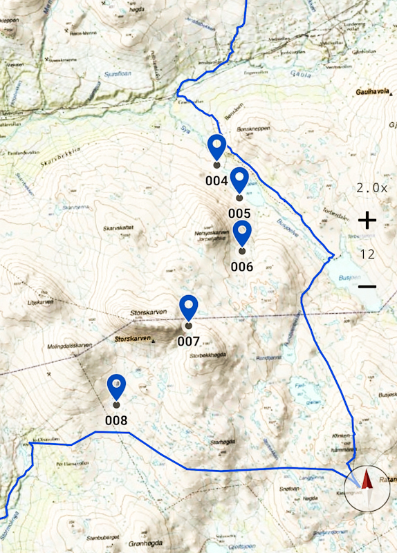
Litlvola to Stormolinga
Distance: 30 kilometers
No wind, no river, no birds. The night is eerily quiet, the sleep quite okay.
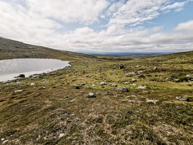
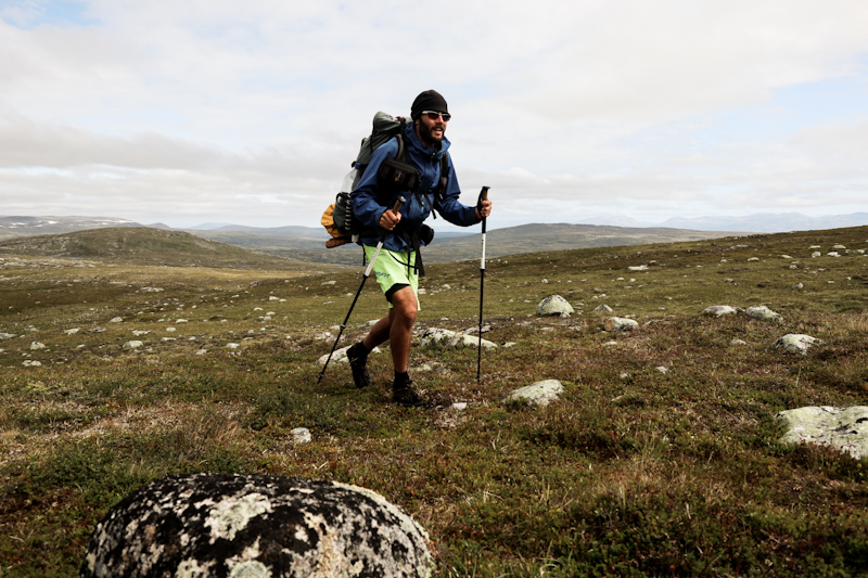
As mentioned yesterday: I'm in no rush at all. If I cover 30 kilometers today, that's more than enough. So it's a lazy start into my hiking day, following up nice trail towards Kjolihytta. Dispite being overcast, the visibility is good enough to enjoy the view. Ahead and slightly to the left I can spot Storskarven, where I am to pass by in a couple of hours.
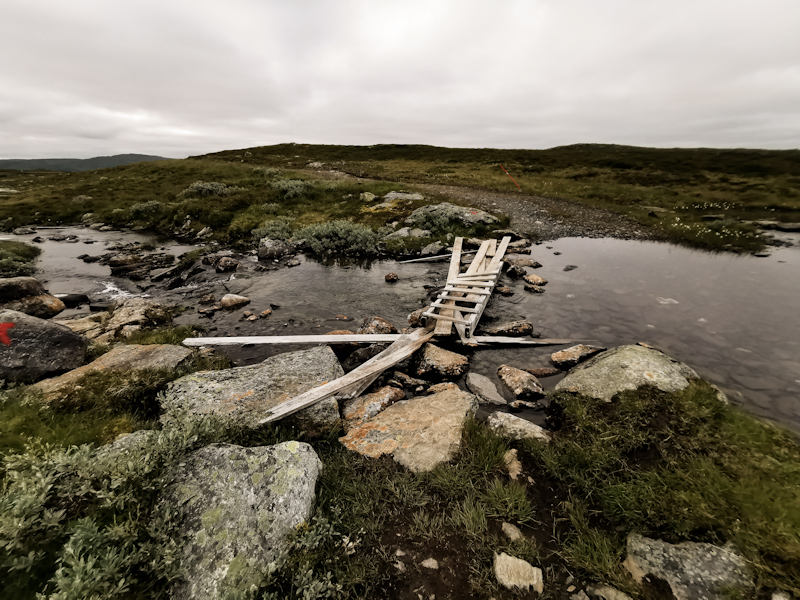
Yesterday, while going through the trail notes, I discovered that there will be another unmarked route today! The E1 GPX track, which floats around the internet and which I use as guideline, deviates from the trail note, makes a far, unnecessary detour. So I entered some reference points from the trail note myself, making way finding easier.
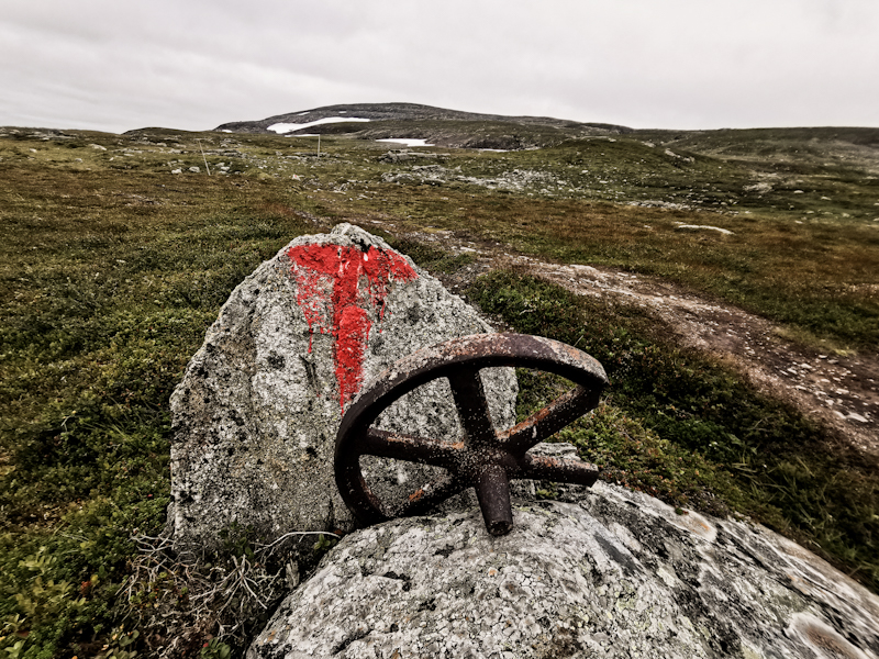
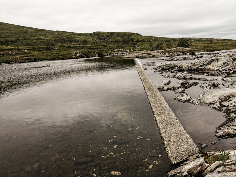
Even without my entered markers, I find my way easily. You can't go wrong. Follow a lake, skirt around a mountain and then through a gap between two other mountains. Easy. Especially with the now magnificent views and even some sunshine.
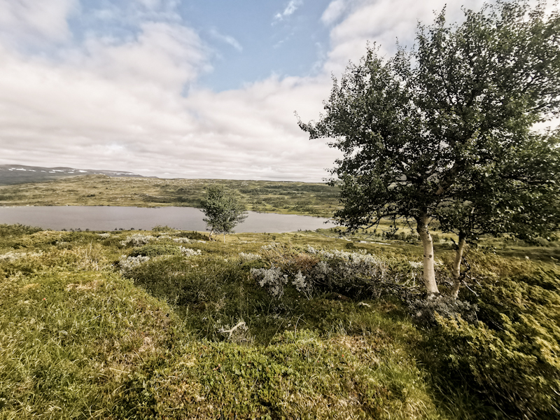
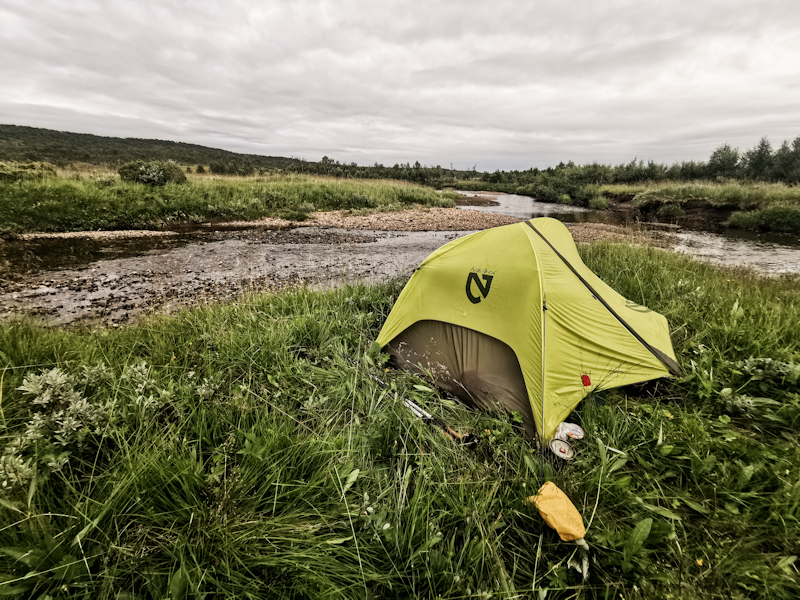
Terrain is a bit rough in the beginning but pretty smooth on the way down, from where I follow a dirt track to a gravel road. 15:00 and 30 kilometers done. I pitch my tent right next to the road, spending the afternoon with reading and planning - dolce far niente.
No use in going any further. Tomorrow's distance will hardly be 20 kilometers. Mostly on roads. Quick thing.
A short outlook: Monday morning I will head into Roros, do a little bit of sightseeing (I was told it's a pretty little mining town), shopping, charging batteries, then hike some more, maybe 15 kilometers out of town. My backpack will be heavy as I will carry 8 to 9 days of food - hopefully be enough for the 270 kilometers to Sälen. I won't be carrying y too much extra food this time. Should I run out of food, roads are never too far away, from where I could hitch towards food.
Write a comment
Fredy Koster (Monday, 02 August 2021 20:52)
The trail note make a lot more sense. The only point I can see the blue line makes de detour is that you can perhaps get some beer at the corner::))