
Samedan to Wetzikon
STATS
DATE
6.9.2018 - 12.9.2018
ROUTE
Samedan-Davos-Schanfigg-Bünder Herrschaft-Toggenburg-Wetzikon
DISTANCE/ELEVATION GAIN
225KM / 11'000M
DURATION
7 days
TYPE
multiday camping
DIFFICULTY
T2-T3
ALTITUDE CHART

REPORT
INTRO
Seven days off – in a row. Yee-haw! Not something, which happens too frequently. So let’s seize the chance and do a multi-day hike!
While seven days is certainly a very nice gap, it’s not enough to do any of the well know big national trails such as Alpenpanoramaweg or Trans Swiss Trail. They are all around 500km, which unfortunately is hardly doable within a week. Therefore, I am sitting in front of a map, staring at it, scratching my head and thinking of hikes I could do.
After a few minutes, a hike that has been on my bucket list for a long time suddenly returns to my mind. A hike from my new home to the place I was born and raised – from the Engadin to Zürich Oberland. A hike not only through attractive landscapes but one that actually means a lot to me and a journey that I’ve done many time by train, occasionally by car and when I got lucky by plane or helicopter. Travel time is 4 hours by train, 2 hours by car respectively a 20 minutes flight.
There is no official route to follow and at first, I have no idea how far exactly and thus how long it would take me. But seven days seems like a reasonable ballpark figure.
Therefore, I sit down, thinking of routes to select. Long story short: It boils down to two main options.
Option 1, crossing one pass to get out of the valley and then it would be mostly flat following the Prättigau or Rhine River, Walensee, Lintalebene and Zürichsee or choose option 2, a more interesting backcountry route over several passes, some mountains peaks and Alpine foothills.
Without much hesitation, I choose option 2 and start plotting a broad route. A few hours and adjustments later, I know more or less exactly where my favorite route would take me. Still, is it be doable in seven days? 220km and 12,000 meters in elevation gain or around 30km and 1,700 meter in elevation a day. Tough but definitively feasible.
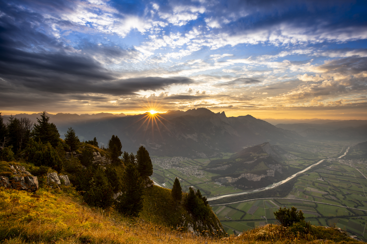
The route will take me from Samedan to Madulain, up Fuorcla Pischa and down to Chants before crossing Sertigpass to Davos. From there I’ll climb Chörbsch Horn, descending via Tritt to Langwiis and folling the Schanfigger Höhenweg to Hochwang and from there down into Prättigau. What follows is a flat section through the Bünder Herrschaft before climbing over the Gonzen and Aliver into Toggenburg. From there the hike will take me over yet another pass (Lauchwiis) towards Neckertal and the Alpine Foothills and finally to Wetzikon.
Start of my little adventure is planned on Thursday, September 6th. Since I intend to leave right after work in the early afternoon, I’ll take my pre-packed backpack and hiking clothes to work. So no need to head back to my flat before leaving.
Saving me some time, which I can definitively use as I intend to hike as far as possible on my first day. Weather is forecasted to be fairly shitty on Friday so my intention is to hike as much on Thursday as possible and pass the highest point of my hike before it starts raining, or even worse if it were to snow.
It’s gonna be unpleasant nonetheless, that’s why I decide to carry my heavier synthetic sleeping bag with a comfort zone down to -4 degrees Celsius. I am positive at one point I will be glad I am carrying the extra weight. Speaking of weight: I need to carry food for five days, adding another four kilograms just for food. The first three days are rather remote, with limited possibilities to resupply. On day four, I’ll pass through several towns but being a Sunday, shops will be closed. First possibility to stock will be in Wildhaus, which I reach on day five during afternoon – if I make it there…
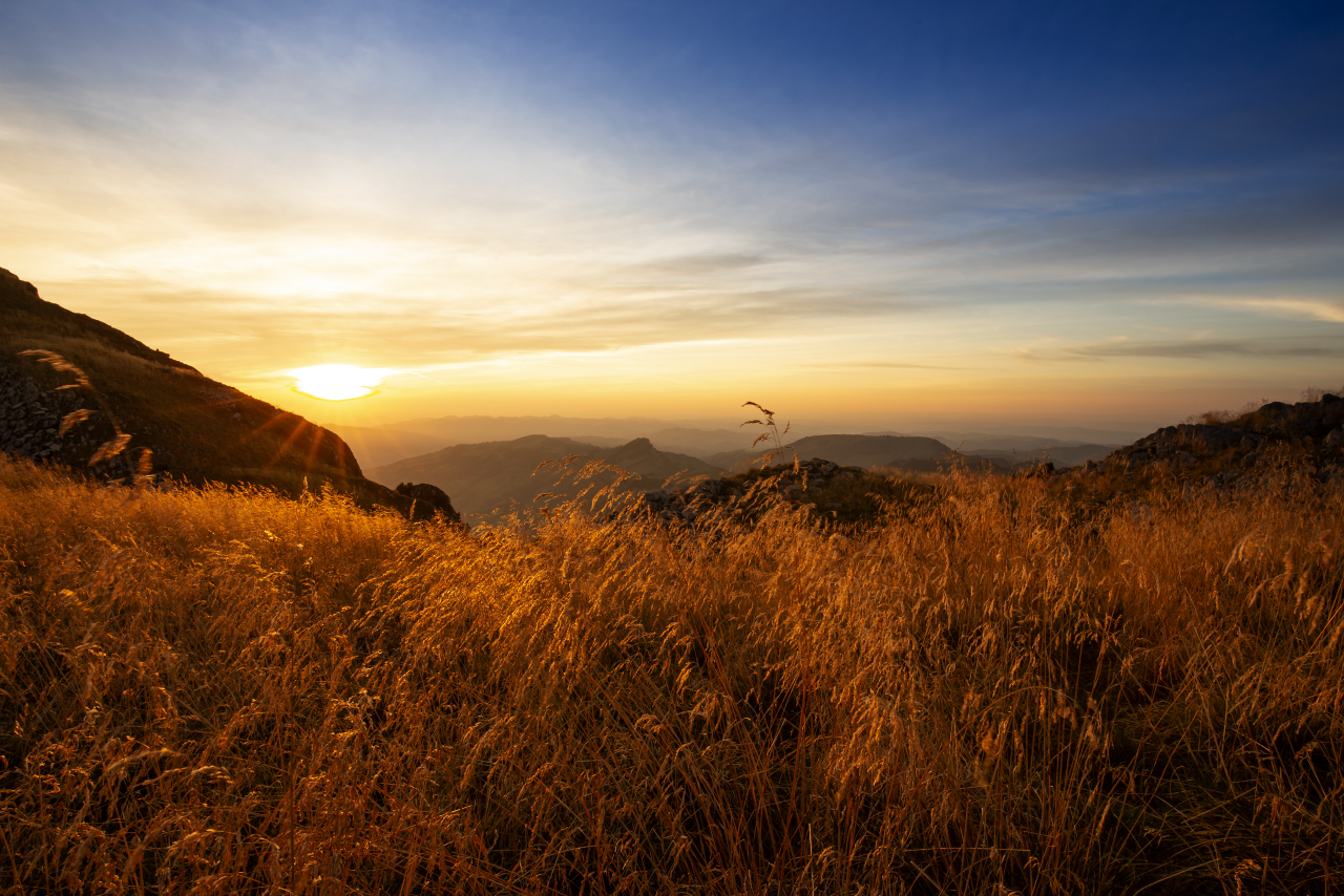
Not much text this time. I'll let the photos do the talking!
DAY 1
Route: Samedan to Fuorcla Pischa
Distance: 19km
Elevation Gain: 1400m


DAY 2
Route: Fuorcla Pischa to Chörbsch Horn
Distance: 35km
Elevation Gain: 2100m


DAY 3
Route: Chörbsch Horn to Fadeuer
Distance: 32km
Elevation Gain: 1600m


DAY 4
Route: Fadeuer to Gonzen
Distance: 40km
Elevation Gain: 1800


DAY 5
Route: Gonzen to Lauchwiis
Distance: 37km
Elevation Gain: 1500m


DAY 6
Route: Lauchwiis to Laubhorn
Distance: 41km
Elevation Gain: 2000m


DAY 7
Route: Lauchhorn to Wetzikon
Distance: 21km
Elevation Gain: 600m


