
Distance today: 18.9km
Distance total: 2168.3km
Time hiked: 9h 51min
Time total: 650h 43min
You have to see the positive side: With 5 people crammed in a 20 square meter hut it doesn't get too cold... But to be honest, I rather have a cold but empty hut.
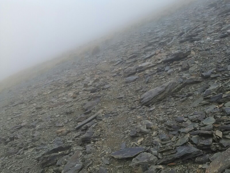
As usual, the day starts with a climb. Today it's over rock fields towards Mt. Ellis. It's drizzling, windy and the visibility is poor. I hardly can recognize the orange poles. If I couldn't see the poles or the trail anymore, I'd wait for better weather or even return to the hut. Luckily that's never the case.
Once on the exposed ridge, the track flattens. Wearing basically everything I have, I continue along the ridge. It's straightforward, with some nice scree fields.
Despite no views at all I enjoy the hike, which is reminding me of the Tongariro Crossing. Feels like I took a wrong turn and ended up walking on the moon.
In the super easy descent, the wind is picking up dramatically. I'm hardly able to stay upright. But since it's such an easy hike down a shallow slop, I actually enjoy it a lot.
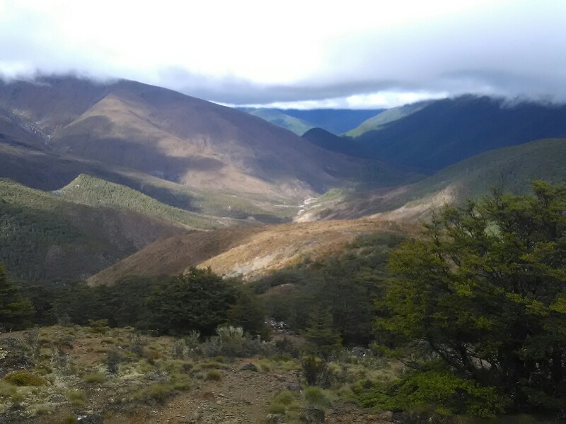
Wind speed drops to nearly zero once back in the bush. After a little bit of bushwalk, the track leads down a rocky slope to the river.
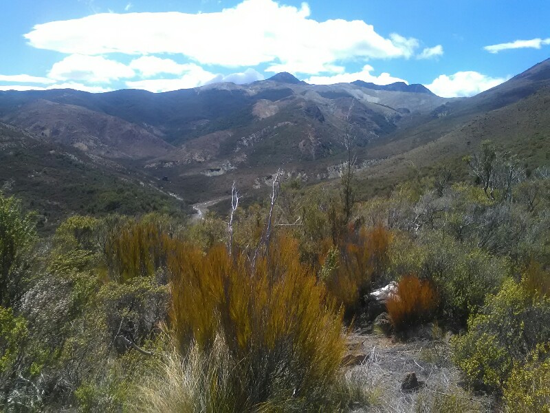
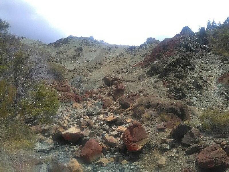
I eventually get below the cloud ceiling. Great views of the valley below. It looks totally different from everything what I've seen so far: flatter terrain, brownish/reddish soil and rocks. This color gives the landscape a somewhat dry, Mediterranean look.
The last part of the hike is mainly through this landscape. Slow-going with many ups and downs, over rock fields and some sketchy, unstable, sandy slopes as well as muddy parts towards the end.
I'm not unlucky, when I finally make it to orange glowing Porters Creek Hut.
From here it will be 10 more hours until I'm back in civilization.
Write a comment