
Distance today: 22.1km
Distance total: 1265.3km
Time hiked: 6h 15min
Time total: 376h 51min
Option B is the one I choose. It's not as I thought a tramping track but rather a biking and 4WD track. And it's much shorter. Option A would be around 32km, 10km more than the Waione-Cokers Track. The marker says 2:45h for the 12 kilometers to the access road. More than 4km/h is certainly not realistic but even if it takes me 4 hours I will way faster than via the 42 Traverse.
So I turn left, hoping not to regret my decision.
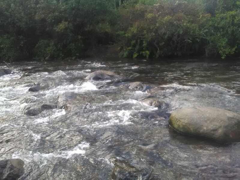
And luckily I don't. Surely, the track is narrower, steeper and muddier as the other but mostly very easy going, including a fantastic river crossing and a Redoubt later on.
I'm glad I have a GPS. Makes me feel much more comfortable as the forest is a warren of dozens of trails running away from the sparsely marked "right" track.
Shortly after 12 I arrive at the Holiday Park in driving rain and decide to call it a day.
Hannah is close behind and, with the weather forecast still looking promising, we decide to (hopefully) hike the Tangariro Crossing together.
I spend the evening talking to Hannah and a Swiss couple travelling around in their camper. Actually the first fellow Swiss I've met on my journey.
Write a comment